The Perch
Chattahoochee-Oconee National Forests
1755 Cleveland Highway
Gainesville, GA 30501
770 297-3000

The Chattahoochee National Forest is one of two national forests in Georgia, along with the Oconee National Forest, and covers nearly 750,000 acres across the mountains of northern Georgia. The forest takes its name from the Chattahoochee River, whose headwaters originate high in the Blue Ridge Mountains near Jacks Knob. The name “Chattahoochee” comes from the language of the Indigenous peoples who once inhabited the region and is commonly interpreted as “painted rocks” or “marked stones.” The modern forest traces its beginnings to 1911, when the U.S. Forest Service purchased approximately 31,000 acres from the Gennett family in Fannin, Gilmer, Lumpkin, and Union counties for seven dollars per acre. Initially administered as part of the larger Nantahala and Cherokee National Forest systems, the area gradually expanded through additional land acquisitions and conservation efforts. Today, the forest encompasses rugged mountain terrain, cascading waterfalls, trout streams, and hundreds of miles of hiking trails, including portions of both the Appalachian Trail and the Benton MacKaye Trail. It serves as one of Georgia’s premier outdoor recreation destinations, attracting hikers, campers, anglers, mountain bikers, and wildlife enthusiasts throughout the year.
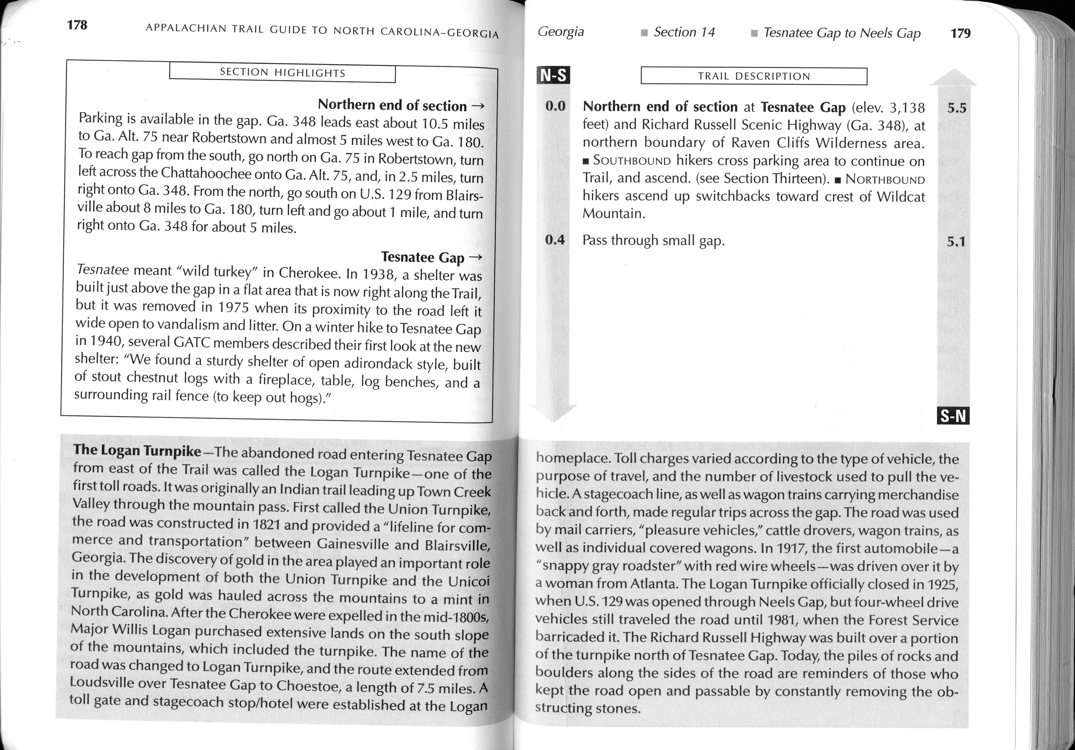
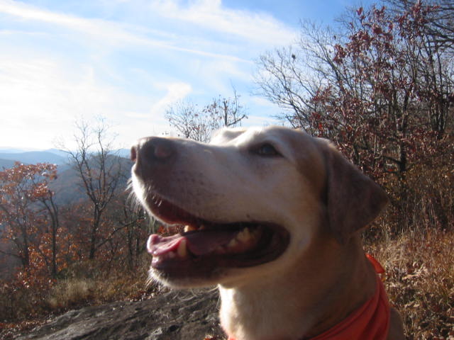
The hike to The Perch is an enjoyable out-and-back trek that is suitable for a day hike but can also be extended into an easy overnight backpacking adventure. Beginning along the scenic Richard B. Russell Scenic Highway, the trail climbs approximately 800 feet through a beautiful mountain forest filled with hardwoods, rhododendron, and seasonal wildflowers. Although the elevation gain is moderate, the route is gradual enough for most hikers and rewards the effort with outstanding mountain scenery. Along the trail, two prominent rock outcroppings provide spectacular panoramic views to the east, south, and west, making them ideal locations to stop, rest, and photograph the surrounding peaks and valleys. Several primitive campsites are located near these overlooks, offering excellent opportunities for a peaceful overnight stay under the stars. However, hikers should plan carefully because there are no reliable water sources near the campsites, requiring backpackers to carry all the water they will need or filter water before reaching the ridgeline. The combination of moderate difficulty, sweeping vistas, and relative solitude makes this hike one of the hidden gems within the Chattahoochee National Forest.
- click for more photos from this backpacking trip to The Perch: November 5, 2006 (password required)
- click for a trip report from this hike on the Appalachian Trail: November 5, 2006 (password required)
- click for a Trails Illustrated map for this hike in the Chattahoochee National Forest
- click for a trail map with campsites around Cowrock Mountain (password required)
- click for an ATC trail map from Jarrard Gap to Hog Pen Gap on the Appalachian Trail
- click for an ATC trail map from Wolf Laurel Top to Chattahoochee Gap (password required)
- click for an ATC profile map from Wolf Laurel Top to Unicoi Gap (password required)
- click for a Georgia Appalachian Trail overview map (password required)
- click for a Georgia Appalachian Trail profile map (password required)
- click for more hikes in this area near Hogpen Gap in October 2009, October 2011, October 2017
- click for a hike to the nearby Wolf Laurel Top on the Appalachian Trail
- click for an article about The Perch in Backpacker Magazine in the fall of 2022
- click for guidebook info on this hike with a section preview and mile 0.0 to 0.4, plus mile 0.4 to 4.4 (password required)
- click for more information on the Appalachian Trail
- click for Appalachian Trail hiking and backpacking books
- click for the guidebook Appalachian Trail: Georgia-North Carolina which has details on this destination
- click for other Georgia hiking and backpacking books


From WhiteBlaze.net this week. Hang your food or better yet … take a bear canister if you camp overnight between Neels Gap and Tesnatee Gap on the Appalachian Trail in Georgia:
“Woke up at 7:00 am sharp when the lights came on. Someone announced pancakes were ready so everyone got up quickly. When I stepped outside into the “living area” I found two girls, Sandy and Maddie, stretched out on the flood in their bags. They said they had no where else to go. I remember meeting them the night previous at dinner. There was no more room in the hostel and all cabins were rented so they continued on in the evening an additional 3 miles up the trail and made camp. Unfortunately they slept with their food in the tent and were attacked by a bear. The area between Neel Gap and Tesnatee Gap is known for very aggressive bears. They grabbed all they could, their sleeping bags, and returned down the mountain to the hostel.”