Baggs Creek Gap
Chattahoochee-Oconee National Forests
1755 Cleveland Highway
Gainesville, GA 30501
770 297-3000
The Chattahoochee National Forest is one of two National Forests in the State of Georgia, and it takes its name from the Chattahoochee River whose headwaters begin in the North Georgia mountains. The River and the area were given the name by the English settlers who heard it from the Indians that once lived here. The Chattahoochee National Forest was created when the Forest Service purchased 31,000 acres in Fannin, Gilmer, Lumpkin and Union Counties from the Gennett family in 1911 for $7.00 per acre. In the beginning, the Chattahoochee was part of the Nantahala and Cherokee National Forests in North Carolina and Tennessee, but eventually the Forest Service made additional land purchases and expanded the Chattahoochee to its current size of nearly 750,000 acres.
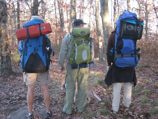
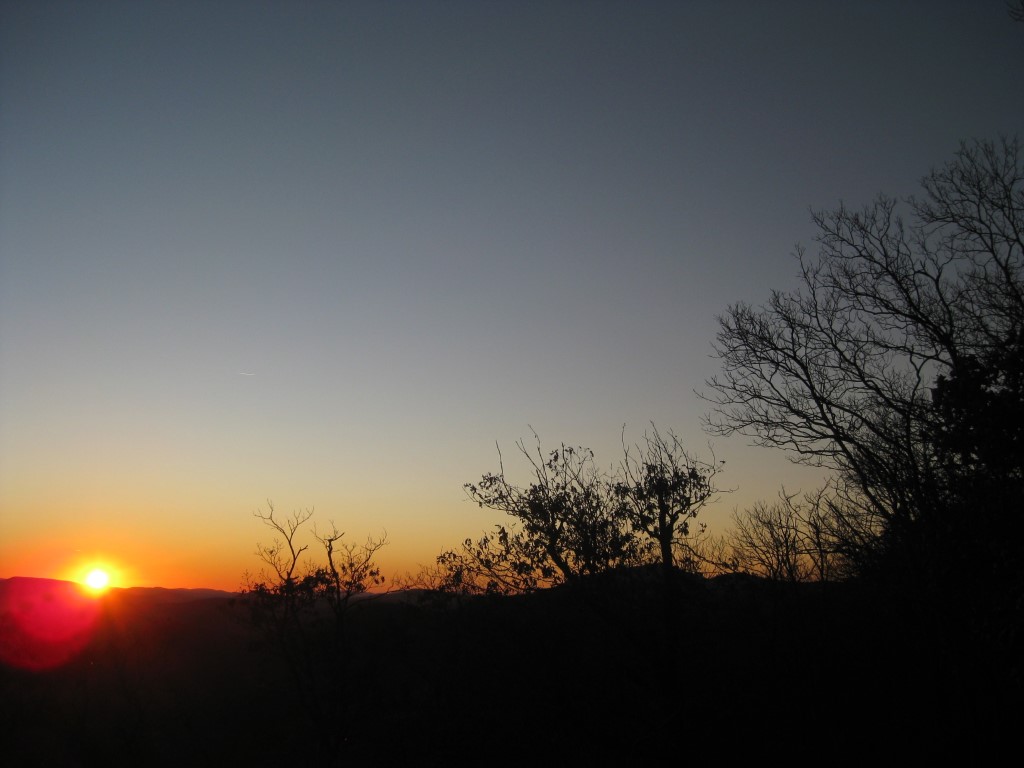
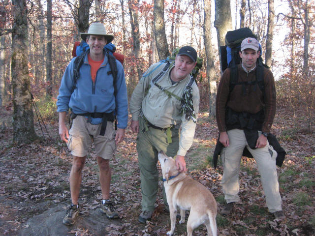
The walk to Baggs Creek Gap is an in-and-out, backtrack hike that can be done as either a day hike or an overnight backpacking trip. This hike starts along the Richard Russell Scenic Highway and ascends approximately 800′ feet to a scenic overlook along the trail where there are spectacular views to the east, south and west from two rock outcroppings on the route. From here, the trail descends another 0.5 miles to the gap where there is a nice campsite and seasonal water source across the trail.
- click to see trail photos from this hike to Baggs Creek Gap: October 22, 2011
- click for a trip report of this hike on the Appalachian Trail: October 22, 2011 (password required)
- click for a Trails Illustrated map for this hike in the Chattahoochee National Forest
- click to view a trail map with campsites around Cowrock Mountain (password required)
- click for an ATC trail map from Jarrard Gap to Hog Pen Gap on the Appalachian Trail
- click for an ATC trail map from Wolf Laurel Top to Chattahoochee Gap (password required)
- click for an ATC profile map from Wolf Laurel Top to Unicoi Gap (password required)
- click for a Georgia Appalachian Trail overview map (password required)
- click for a Georgia Appalachian Trail profile map (password required)
- click to view more hikes in this area near Hogpen Gap in November 2006, October 2009, October 2017
- click for a hike to the nearby Wolf Laurel Top on the Appalachian Trail
- click to read an article about The Perch in Backpacker Magazine in the fall of 2022
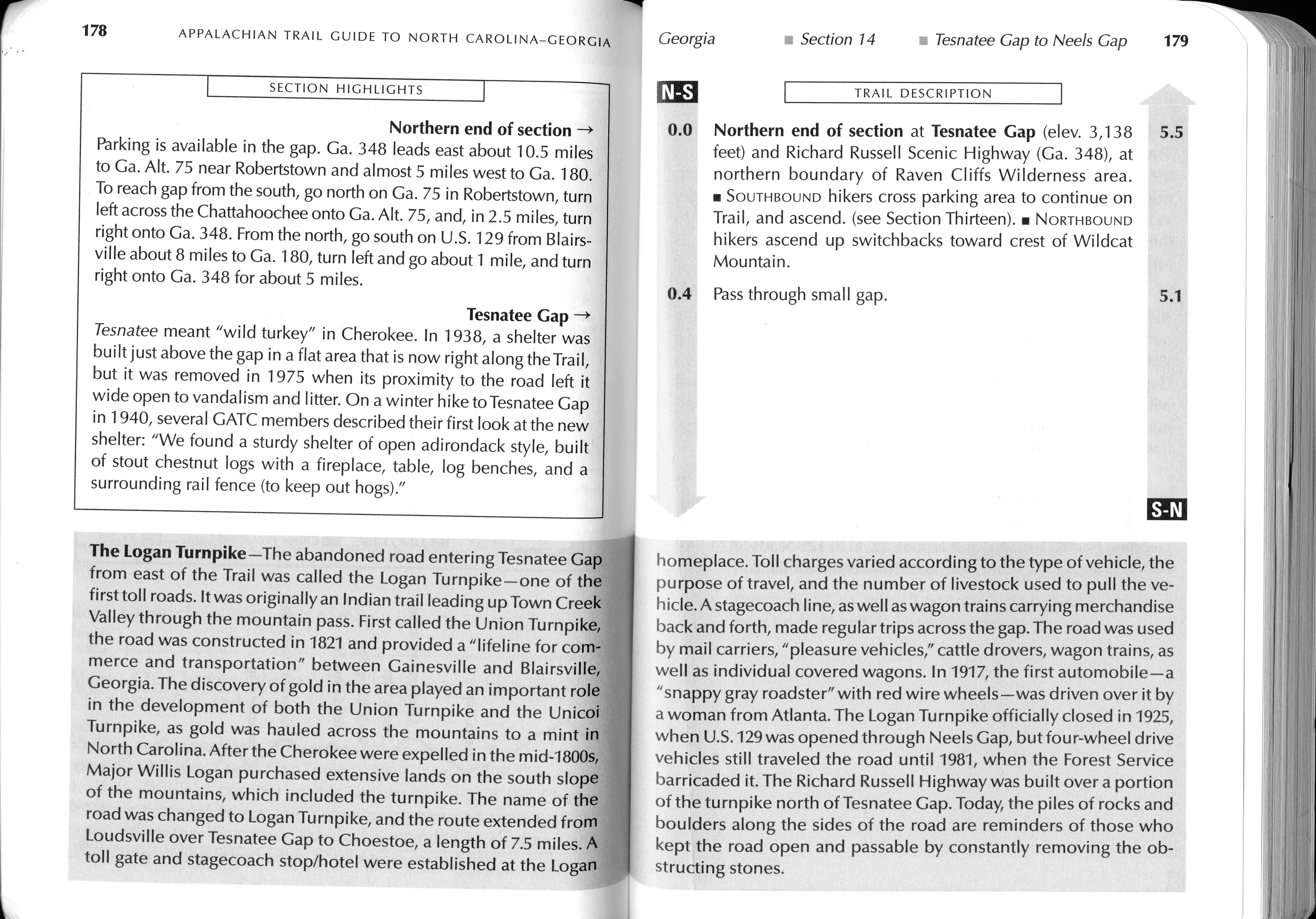
- click for guidebook info on this hike with a section preview and mile 0.0 to 0.4, plus mile 0.4 to 4.4 (password required)
- click for more information on the Appalachian Trail
- click for Appalachian Trail hiking and backpacking books
- click to access the guidebook Appalachian Trail: Georgia-North Carolina which has details on this destination
- click for other Georgia hiking and backpacking books