Springer Mountain (via Big Stamp Gap)
Chattahoochee-Oconee National Forests
1755 Cleveland Highway
Gainesville, GA 30501
770 297-3000
The Benton MacKaye Trail (BMT) is a footpath of nearly 300 miles that traverses the Appalachian mountains of the southeastern United States. It is named in honor of Benton MacKaye whose was a forester, planner and conservationist whose vision resulted in the creation of the Appalachian Trail in the early 1900’s. The BMT is designed for foot travel in the tradition of the Appalachian Trail (A.T.) and runs from Springer Mountain in Georgia to Davenport Gap on the northern edge of the Great Smoky Mountains National Park. The Benton MacKaye Trail passes through some of the most remote backcountry in Georgia, Tennessee and North Carolina, including eight federally designated Wilderness and Wilderness Study Areas.
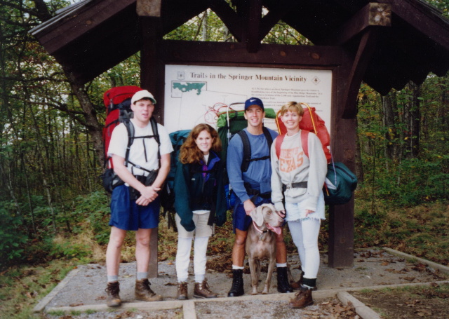
This loop hike uses both the Benton MacKaye and Appalachian Trails to run a moderate 4.4 mile route with nice views from both Springer Mountain on the A.T. and Ball Mountain on the BMT. The Benton MacKaye vista is located at a small clearing just past Ball Mountain as you approach Big Stamp Gap. I’ve hiked this section of the Benton MacKaye Trail (BMT) a few times. In 1997, we hiked a four mile loop that that started at USFS 42, climbed to Springer Mountain, dropped to Big Stamp Gap, then finished back at the A.T. parking area on USFS 42. In 1999, we camped at Big Stamp Gap, hiked up to Springer Mountain, then backtracked to our campsite. Both hikes are fairly easy and take you to the southern terminus of both the Appalachian and Benton MacKaye Trails where there are nice views to the south. This short section of the Benton MacKaye Trail starts at Springer Mountain, the southern terminus of both the Benton MacKaye and Appalachian Trails and descends gradually for about 700 feet. There are outstanding views to the south from the bronze plaque and first white blaze at Springer Mountain, and there is also a nice vista to the east just past Ball Mountain on the BMT. At Big Stamp Gap, the Benton MacKaye Trail crosses USFS 42 and a nice drive-in campsite and continues northbound.
- click for more photos from this hike starting at Big Stamp Gap: October 18, 1997
- click for a Daytimer report from this backpacking trip on the Benton Mackaye Trail: October 18, 1997 (password required)
- click for a Trails Illustrated map of this area between Amicalola Falls & Springer Mountain
- click for a topographical map of section one of the Benton MacKaye Trail (password required)
- click for a topographical map of this loop hike on the A.T. and Benton MacKaye Trail (password required)
- click for a topographical map of the Springer Mountain area (password required)
- click for a loop hike starting at Big Stamp Gap that uses both the Appalachian and Benton MacKaye Trails (password required)
- click for a map of the entire Benton MacKaye Trail (password required)
- click for another map of the entire Benton MacKaye Trail (password required)
- click for a profile map of this hike from Springer Mountain to Big Stamp Gap (password required)
- click for a BMTA profile map of section one of the Benton MacKaye Trail (password required)
- click for the trail notes from section one of the Benton MacKaye Trail (password required)
- click for an article about the campsites at Springer Mountain
- click for more hikes to Springer from Big Stamp Gap in October 1997, December 1999, and March 2017
- click for the guidebook Best Hikes With Dogs Georgia And South Carolina which has details on this area
- click for more information on the Benton MacKaye Trail


