Thunderhead Mountain
Great Smoky Mountains National Park
107 Park Headquarters Road
Gatlinburg, TN 37738
(865) 436-1200

The Great Smoky Mountains National Park stretches across 800 square miles, with nearly 95 percent of its land covered in forest. These ancient mountains, which are among the oldest on Earth, are built from rocks more than 200 million years old with their jagged peaks worn down into the soft, rounded ridges that are present today. These ridgelines are traversed by the Appalachian Trail which climbs to its highest point at Clingmans Dome (6,643 feet) and straddles the border of North Carolina and Tennessee in the park. From the ridges you will often see a distinctive blue haze that lingers over the valleys. It is a natural mist that is created when plants release water vapor and organic compounds into the air which gives the area its trademark “Smoky” Mountains name. Unfortunately, the majority of the people that visit the park never visit the backcountry and see some of the best wilderness in the Southeastern U.S.
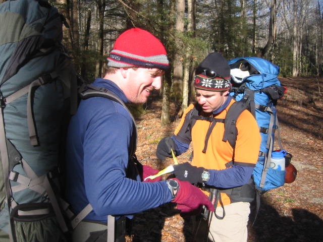
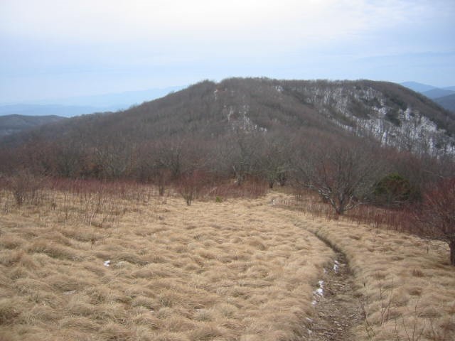
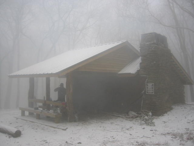
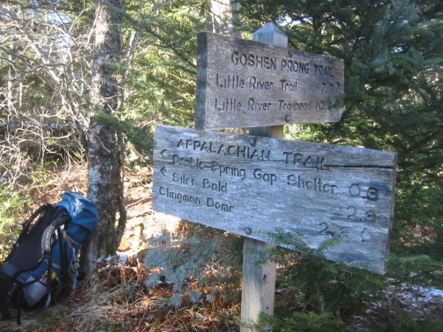
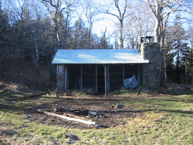
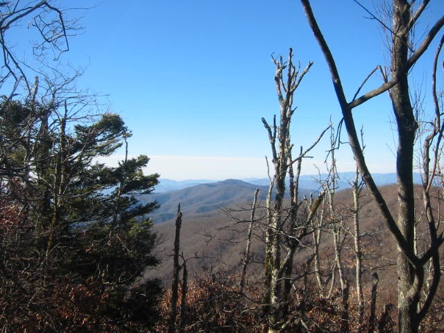
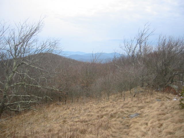
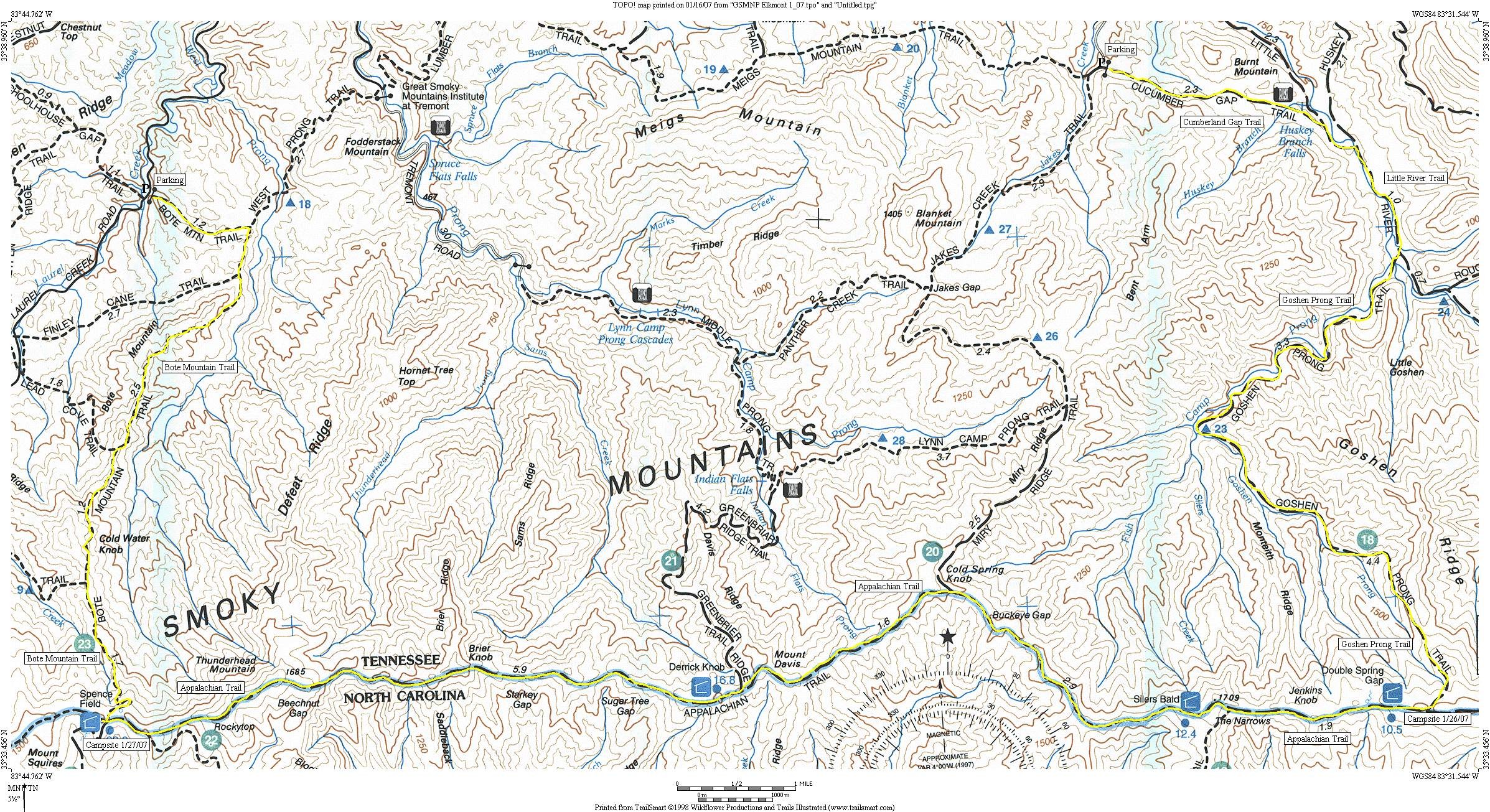
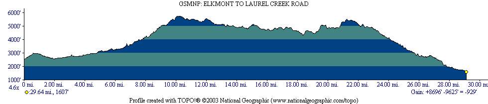
This challenging hike on the Tennessee side of the Great Smoky Mountain National Park starts at the old sawmill town of Elkmont which was kept busy by the Little River Lumber Company in the early 1900’s. After a long and nearly 4000′ climb along the Little River and Goshen Prong Trails, the route reaches the A.T. and follows it heading west along the ridge of the Smoky Mountains hugging the TN/NC border. At Spence Field, the route turns back to the north and descends rapidly into Tennessee over seven miles to Laurel Creek Road. There are spectacular views from Thunderhead Mountain and Rocky Top on this route, and nice rest stops at the newly remodeled shelters of Spence Field and Silers Bald.
- click for more photos from this hike in the Great Smoky Mountains National Park: January 25, 2007
- click for a trip report from this backpacking trip on the Tennessee side of the Smokies: January 25, 2007 (password required)
- click to purchase a Trails Illustrated map of Great Smoky Mountains National Park
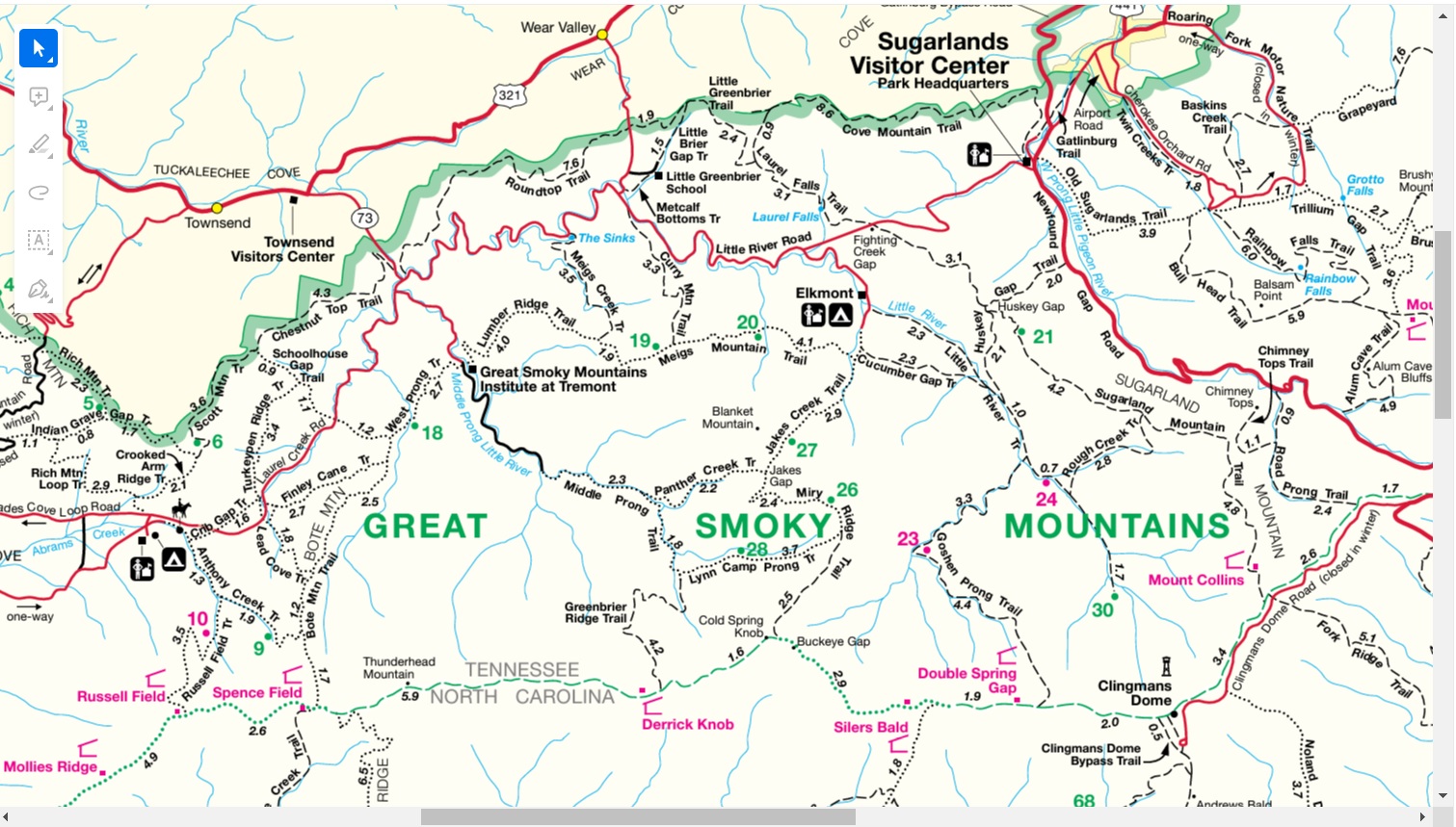
- click for a road and facilities map of Great Smoky Mountains National Park
- click for a trail map of Great Smoky Mountain National Park
- click for a topo and profile map of this hike from Elkmont to Little Creek Road
- click for a list of all our Klondike hikes that date back to the late 90’s (password required)
- click for the guidebook Trail By Trail: Backpacking In The Smoky Mountains which has details on this destination
- click to purchase the guidebook Hiking Tennessee with more details on this destination
- click for more hikes in the State of Tennessee
- click for more information on the Appalachian Trail