Tray Spur
Chattahoochee-Oconee National Forests
1755 Cleveland Highway
Gainesville, GA 30501
770 297-3000
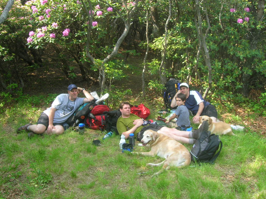
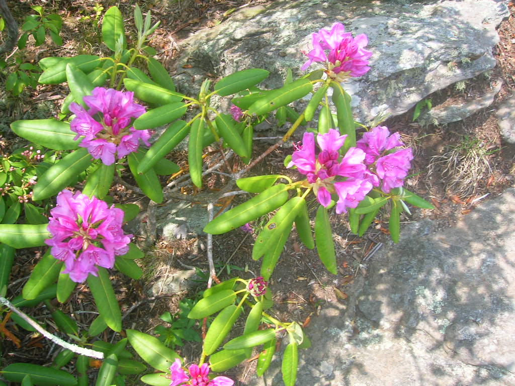
Tray Mountain rises to an elevation of 4,430 feet, making it the seventh-highest peak in Georgia and one of the most prominent summits in the northeastern portion of the state. Located within the Tray Mountain Wilderness of the Chattahoochee National Forest, the mountain straddles the boundary between White and Towns counties just north of Helen. The wilderness encompasses more than 10,000 acres of rugged ridges, hardwood forests, mountain streams, and secluded backcountry that provide outstanding opportunities for hiking, backpacking, and wildlife viewing. The Appalachian Trail traverses the western slopes of Tray Mountain, making the summit a familiar landmark for northbound thru-hikers on their journey to Maine. Although the summit itself is heavily wooded and does not offer sweeping panoramic views, a narrow clearing provides limited vistas to both the north and south, allowing hikers to catch glimpses of the surrounding Blue Ridge Mountains. The cool temperatures, dense stands of oak, maple, and rhododendron, and frequent mountain fog give the area a distinctly high-elevation feel that is especially enjoyable during the summer months.
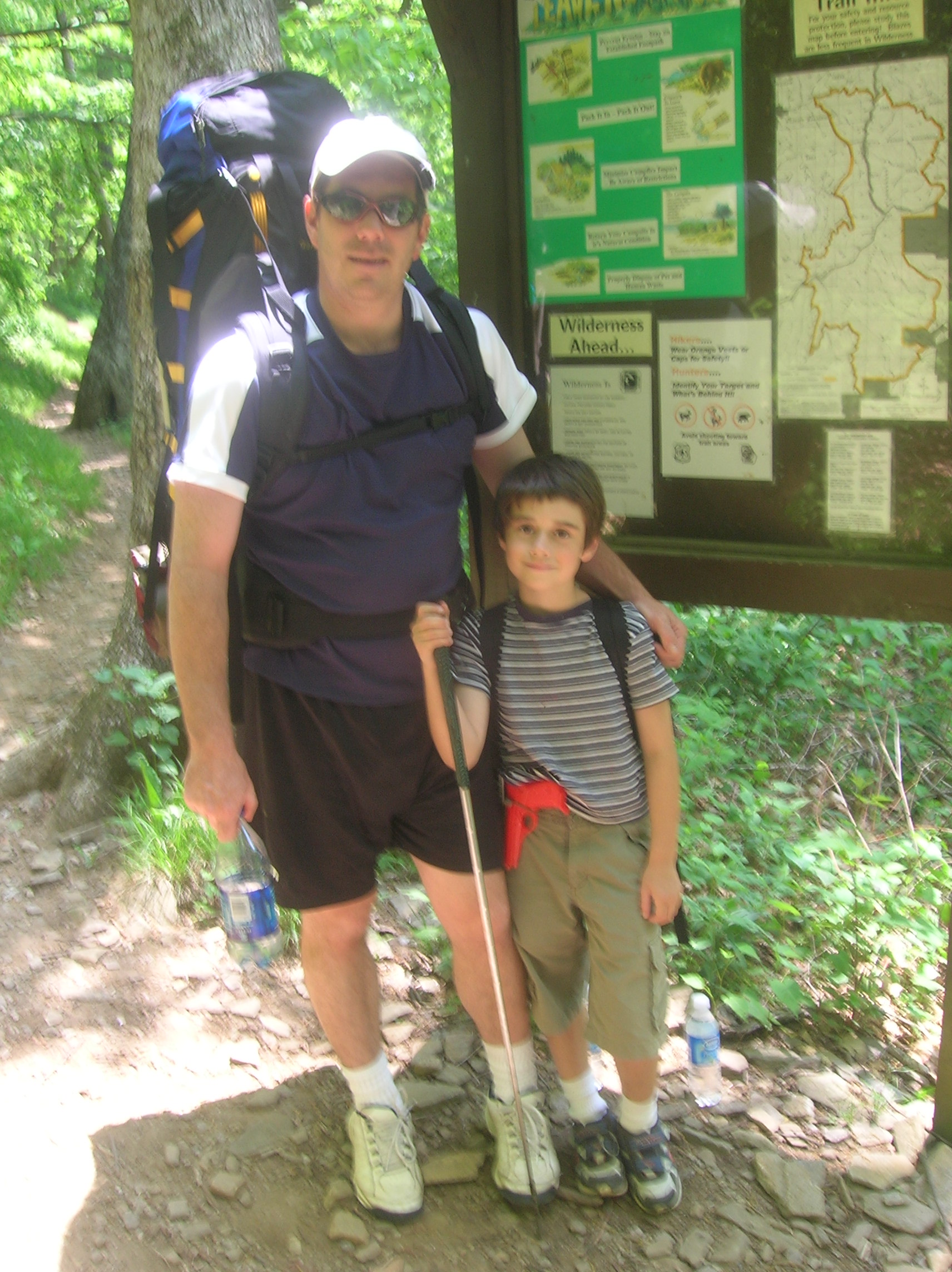
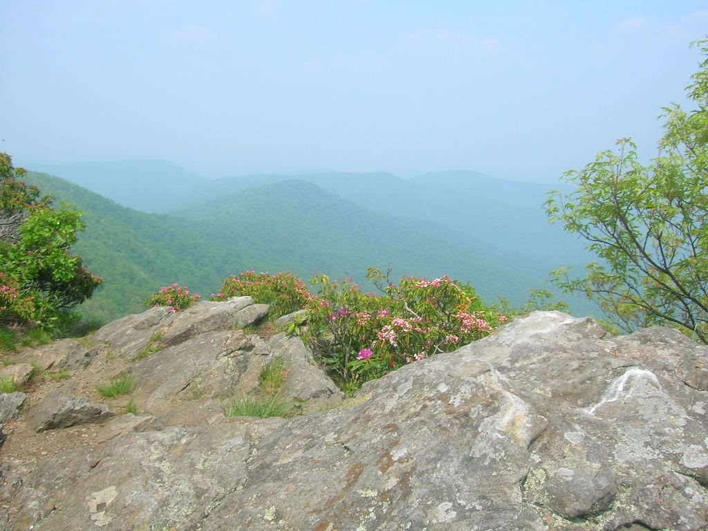
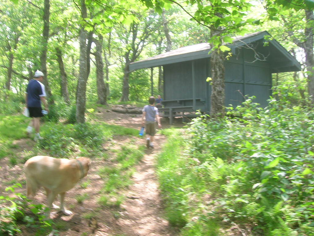
Our hike began at Tray Gap along U.S. Forest Service Road 79, where the Appalachian Trail crosses the road at an elevation of approximately 3,847 feet. From the gap, the trail wastes little time before beginning a steady climb of nearly 600 feet over just a little more than a mile. Although relatively short, the ascent is consistently steep and rocky in places, making it a surprisingly strenuous hike. Near the summit, be sure to watch carefully for the unmarked side trail leading to Tray Spur, which branches off to the right just below the summit. The path can be easy to overlook, particularly when summer vegetation is at its thickest, but those who make the short detour are rewarded with one of the finest overlooks in the area. The rocky outcrop at the end of the spur offers expansive views north across the Blue Ridge Mountains and is an excellent place to stop for lunch or photographs. The spur is also a popular backcountry campsite, but hikers planning to spend the night should carry sufficient water because there are no reliable water sources nearby. A better option for backpackers is to continue a short distance to the nearby Tray Mountain Shelter, where a dependable spring located behind the shelter usually provides fresh water. Together, the summit, Tray Spur overlook, and Appalachian Trail make this one of the most rewarding short mountain hikes in northern Georgia.
- click for more photos from this backpacking trip to Tray Mountain: May 27, 2007 (password required)
- click for a trip report from this hike near Helen, Georgia (password required)
- click for a Trails Illustrated map of this hike to the Tray Mountain Spur Trail
- click for a Tray Mountain topographical and profile map (password required)
- click for an ATC trail map from Chattahoochee Gap to Addis Gap (password required)
- click for an ATC profile map from Tray Mountain to Sassafrass Gap (password required)
- click for a Georgia Appalachian Trail overview map (password required)
- click for a Georgia Appalachian Trail profile map (password required)
- click for another hike on the Tray Mountain spur trail in March 2017
- click for a backpacking trip to the junction of the Tray spur trail in October 1997
- click for the guidebook Appalachian Trail: Georgia-North Carolina which has details on this area
- click for more information on the Appalachian Trail
- click for Appalachian Trail hiking and backpacking books
- click for other Georgia hiking and backpacking books