Tray Spur
Chattahoochee-Oconee National Forests
1755 Cleveland Highway
Gainesville, GA 30501
770 297-3000

Tray Mountain, with an elevation of 4,430 feet, is the seventh-highest peak in Georgia. The summit is located a short distance from Helen and serves as the boundary between White and Towns counties. The summit is located in the Tray Mountain Wilderness within the borders of the Chattahoochee National Forest and has limited views to both the north and south from a narrow clearing on the mountain.
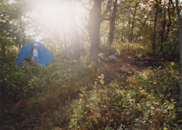
We started our hike to Tray Mountain from U.S. Forest Road 79 along the Appalachian Trail in Tray Gap at 3,847 feet. From here it is a short but steep 600 foot climb to the summit. Tray Spur is located just downhill from Tray Mountain and to the right. It is easy to miss – especially in the summer months – but there are outstanding views to the north at the end of the Trail. If you decide to camp here – take water because there is no source. Your other option is to hike to the nearby Tray Mountain Shelter and get water from the spring behind the lean-to.
- click for a trip report from this hike along the Appalachian Trail: October 10, 1997 (password required)
- click for a Trails Illustrated map of this hike to the Tray Mountain Spur Trail
- click for a Tray Mountain topographical and profile map (password required)
- click for an ATC trail map from Chattahoochee Gap to Addis Gap (password required)
- click for an ATC profile map from Tray Mountain to Sassafrass Gap (password required)
- click for a Georgia Appalachian Trail overview map (password required)
- click for a Georgia Appalachian Trail profile map (password required)
- click for another hike on the Tray Mountain spur trail in March 2017
- click for a backpacking trip to this spur trail at Tray Mountain in May 2007
- click for the guidebook Appalachian Trail: Georgia-North Carolina which has details on this destination
- click for more information on the Appalachian Trail
- click for Appalachian Trail hiking and backpacking books
- click for other Georgia hiking and backpacking books