The Perch
Chattahoochee-Oconee National Forests
1755 Cleveland Highway
Gainesville, GA 30501
770 297-3000
The Chattahoochee National Forest is one of two national forests located in the state of Georgia, the other being the Oconee National Forest, and together they represent some of the most important federally protected lands in the southeastern United States. The Chattahoochee takes its name from the Chattahoochee River, whose headwaters originate high in the North Georgia mountains near the Appalachian foothills. The name itself is believed to derive from a Creek (Muscogee) language term often interpreted as “painted rock” or “marked water,” reflecting the river’s distinctive appearance as it flows over colorful bedrock in its upper reaches. Early English settlers adopted and adapted the name they heard from Indigenous peoples who had lived in the region for centuries prior to European settlement. The national forest was formally established in the early 20th century during a period of rapid conservation expansion in the United States. In 1911, the U.S. Forest Service purchased approximately 31,000 acres in Fannin, Gilmer, Lumpkin, and Union Counties from the Gennett family at a cost of about $7 per acre, marking one of the foundational acquisitions for what would become a vast protected landscape. In its early years, much of this land was administratively combined with the Nantahala and Cherokee National Forests across the state line in North Carolina and Tennessee. Over time, additional land purchases and boundary reorganizations expanded the Chattahoochee into a much larger and more distinct unit. Today, the Chattahoochee-Oconee National Forests encompass nearly 750,000 acres of mountains, rivers, and hardwood forests that serve as critical habitat for wildlife, protect headwater watersheds, and provide year-round recreation opportunities including hiking, camping, fishing, hunting, and scenic driving along mountain corridors.
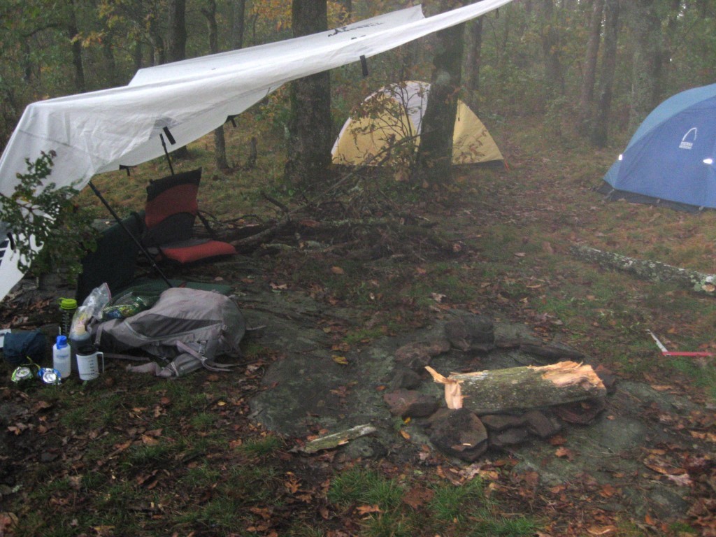
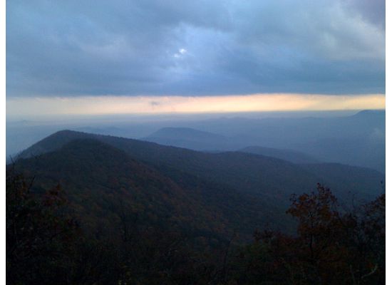
The hike to The Perch is a moderately challenging out-and-back trail that is well suited for day hikers but can also serve as a rewarding short backpacking route for those seeking an overnight stay in the North Georgia mountains. The trail begins along the Richard B. Russell Scenic Highway, a winding mountain roadway known for its sweeping overlooks and access to some of the most scenic ridgelines in the Chattahoochee National Forest. From the trailhead, hikers begin a steady ascent of roughly 800 feet through a mixed forest of oak, hickory, pine, and mountain laurel, with sections of rocky footing and occasional switchbacks that help ease the climb. As elevation increases, the forest gradually opens to reveal rocky ledges and exposed outcrops that provide intermittent viewpoints along the route. Near the upper sections of the trail, two prominent rock outcroppings offer especially impressive panoramic views, with sightlines extending east, south, and west across the surrounding Blue Ridge landscape. On clear days, hikers can see layered ridgelines fading into the distance, while morning fog and evening light often create dramatic atmospheric effects across the valleys below. Both overlook areas have nearby primitive campsites that allow for overnight stays, though visitors should note that water sources are not available at the summit and must be carried in from below. With its combination of moderate effort, rewarding views, and accessible location, the hike to The Perch provides one of the more scenic short backcountry experiences in the North Georgia mountains.
- click for more photos from this backpacking to The Perch: October 9, 2009 (password required)
- click for a trip report from this hike on the Appalachian Trail: October 9, 2009 (password required)
- click for a Trails Illustrated map for this hike in the Chattahoochee National Forest
- click for a trail map with campsites around Cowrock Mountain (password required)
- click for an ATC trail map from Jarrard Gap to Hog Pen Gap on the Appalachian Trail (password required)
- click for an ATC trail map from Wolf Laurel Top to Chattahoochee Gap (password required)
- click for an ATC profile map from Wolf Laurel Top to Unicoi Gap (password required)
- click for a Georgia Appalachian Trail overview map (password required)
- click for a Georgia Appalachian Trail profile map (password required)
- click for more hikes in this area near Hogpen Gap in November 2006, October 2011, October 2017
- click for a hike to the nearby Wolf Laurel Top on the Appalachian Trail
- click for an article about The Perch in Backpacker Magazine in the fall of 2022
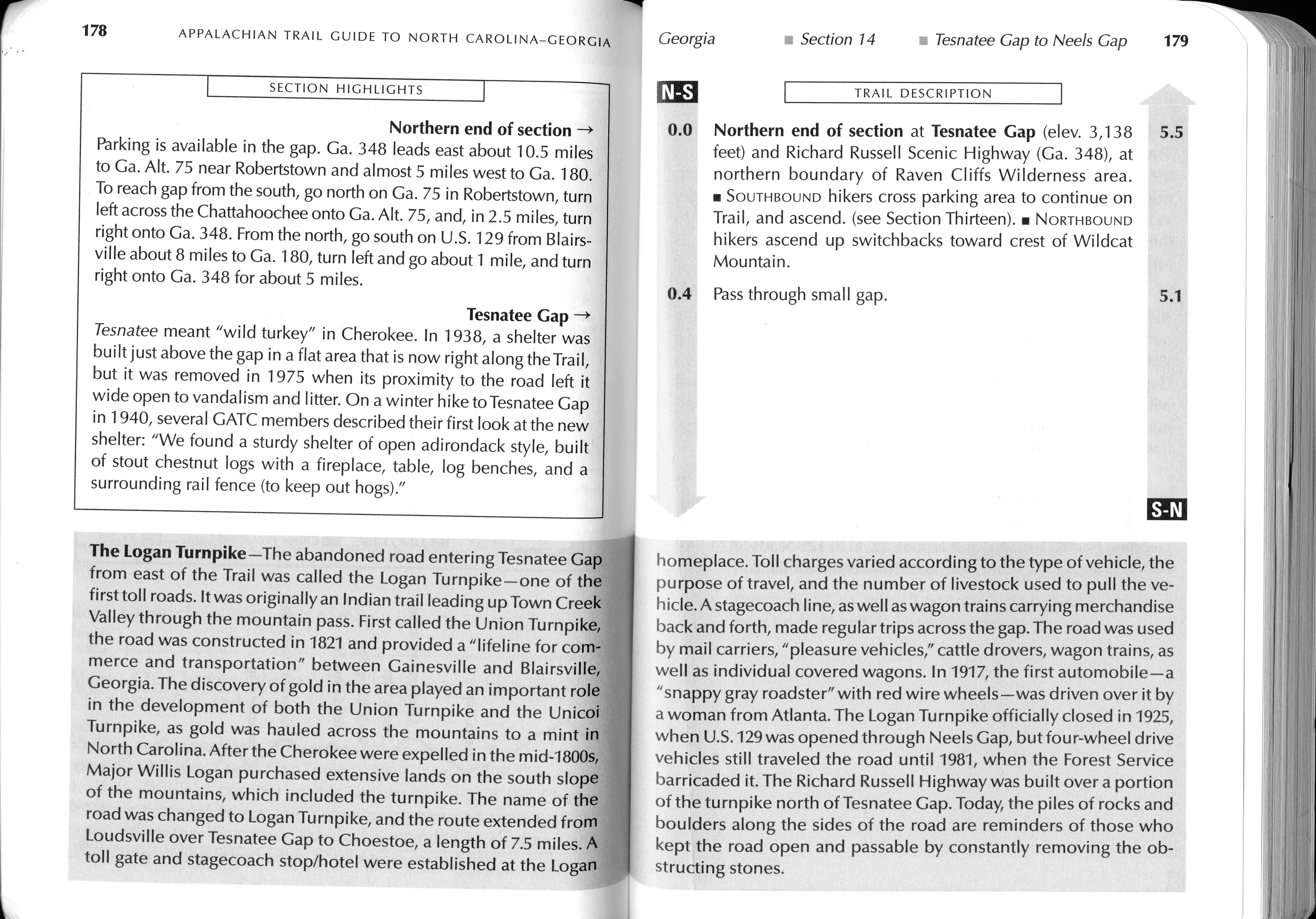
- click for guidebook info on this hike with a section preview and mile 0.0 to 0.4, plus mile 0.4 to 4.4 (password required)
- click for more information on the Appalachian Trail
- click for Appalachian Trail hiking and backpacking books
- click for the guidebook Appalachian Trail: Georgia-North Carolina which has details on this area
- click for other Georgia hiking and backpacking books