Ted Rhodes Park/MetroCenter Levee Greenway
Greenways For Nashville
PO Box 196340
Nashville, Tennessee 37219-6340
615-862-8400
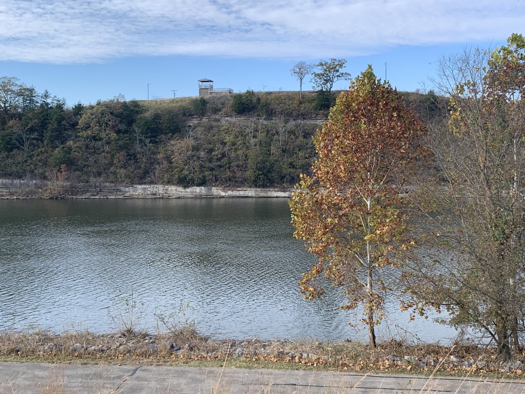
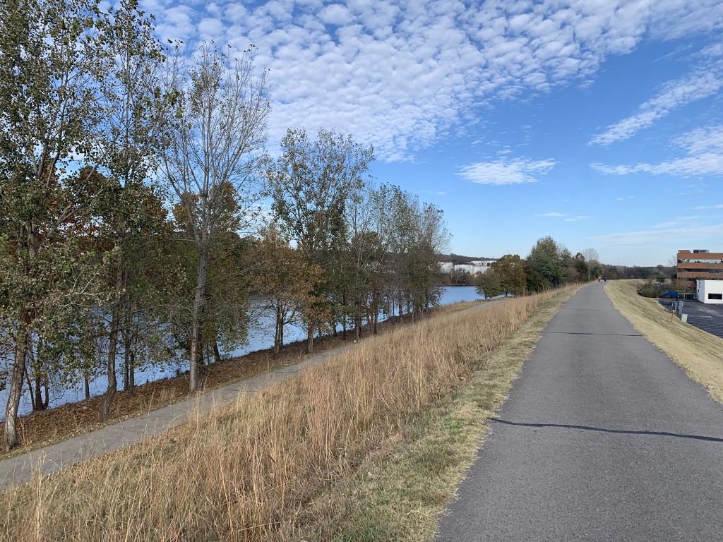
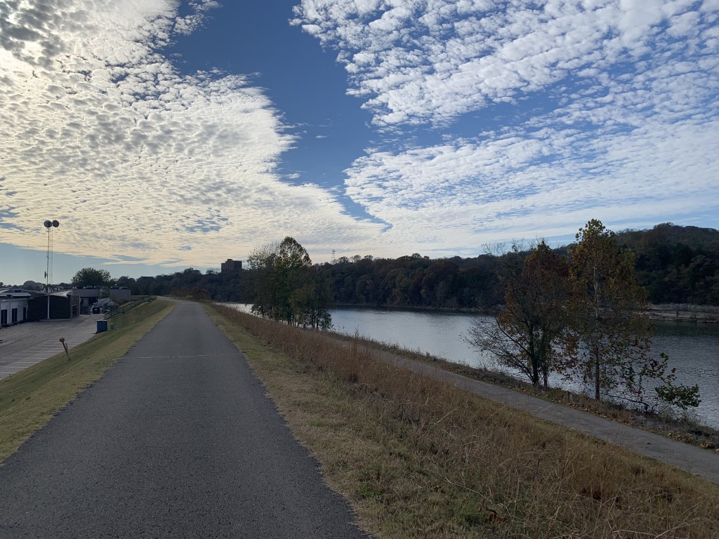
The Ted Rhodes Park/MetroCenter Levee Greenway is a scenic multi-use trail in Nashville, Tennessee, that offers a pleasant outdoor escape along the banks of the Cumberland River. The trail provides opportunities for walking, running, jogging, and cycling while taking advantage of the open river views and surrounding natural scenery. The route is approximately 7.1 miles out and back and is generally considered flat and easy, making it a good option for hikers and cyclists of most ability levels. Completing the entire route takes roughly two hours, depending on your pace and how often you stop to enjoy the scenery. Fortunately, there aren’t any serious hills to worry about, so you can save your energy for more important things, like deciding where to eat afterward. Much of the trail follows a man-made levee constructed to protect the MetroCenter area from flooding, providing an elevated perspective of the Cumberland River and the surrounding Nashville landscape. The predominantly paved pathway connects Ted Rhodes Park with Metro Riverfront Park and Nissan Stadium, formerly known as LP Field, offering a convenient way to explore several sections of the city without having to contend with steep climbs or rugged terrain. While this is more of an urban greenway than a wilderness hike, its river views, open spaces, and easy access make it an enjoyable destination for getting outside and stretching your legs.
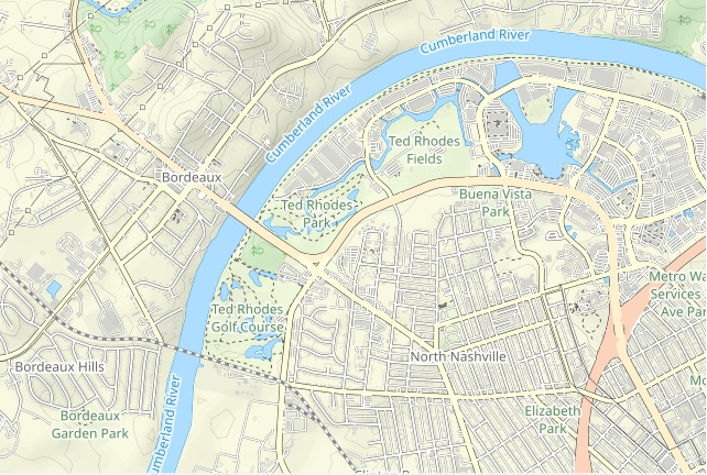
Most of the Cumberland River Greenway follows the west and south banks of the river, although the route also crosses the Shelby Street Bridge and continues toward Nissan Stadium along the section locally known as the East Bank Greenway. Along the way, the paved pathway provides frequent views of the Cumberland River, with opportunities to watch boats traveling along the water and take in views of Nashville’s downtown skyline. The greenway stretches from Ted Rhodes Park, located at 2015 Ed Temple Boulevard, toward Metro Riverfront Park and the stadium, linking several recreational areas and providing access to the riverfront. Ted Rhodes Park serves as an excellent starting point for exploring the western portion of the trail. The park offers open green spaces and recreational facilities, while the nearby levee provides a convenient route for walking or cycling along the river. During our visit, we concentrated primarily on the trails near Ted Rhodes Park rather than attempting the entire 7.1-mile route. We explored a shorter section of the greenway, taking in the river views and enjoying the paved pathways at a leisurely pace. Sometimes a shorter hike is just as enjoyable as a longer one, particularly when there’s no mountain waiting to test your lungs and legs. Although we didn’t cover the full length of the trail, the section we explored offered a nice introduction to Nashville’s riverfront greenway system and provided a pleasant break from the city’s busier streets and attractions.
- click for a summer photo of the Cumberland River Greenway
- click for a trip report from this walk through Ted Rhodes Park: November 6, 2022 (password required)
- click for a map of Ted Rhodes Park and the surrounding area
- click for a topographical and profile map of the MetroCenter Levee Greenway (password required)
- click for another walk along the MetroCenter Levee in November 2023
- click for another hike in Nashville on the Hendersonville Greenway in June 2022
- click for another walk in Ted Rhodes Park in November 2021
- click for the book 60 Hikes Within 60 Miles of Nashville for more hikes in this area
- click for the guidebook Hiking Tennessee for more details on this destination
- click for more hikes in the State of Tennessee