Ted Rhodes Park/MetroCenter Levee Greenway
Greenways For Nashville
PO Box 196340
Nashville, Tennessee 37219-6340
615-862-8400
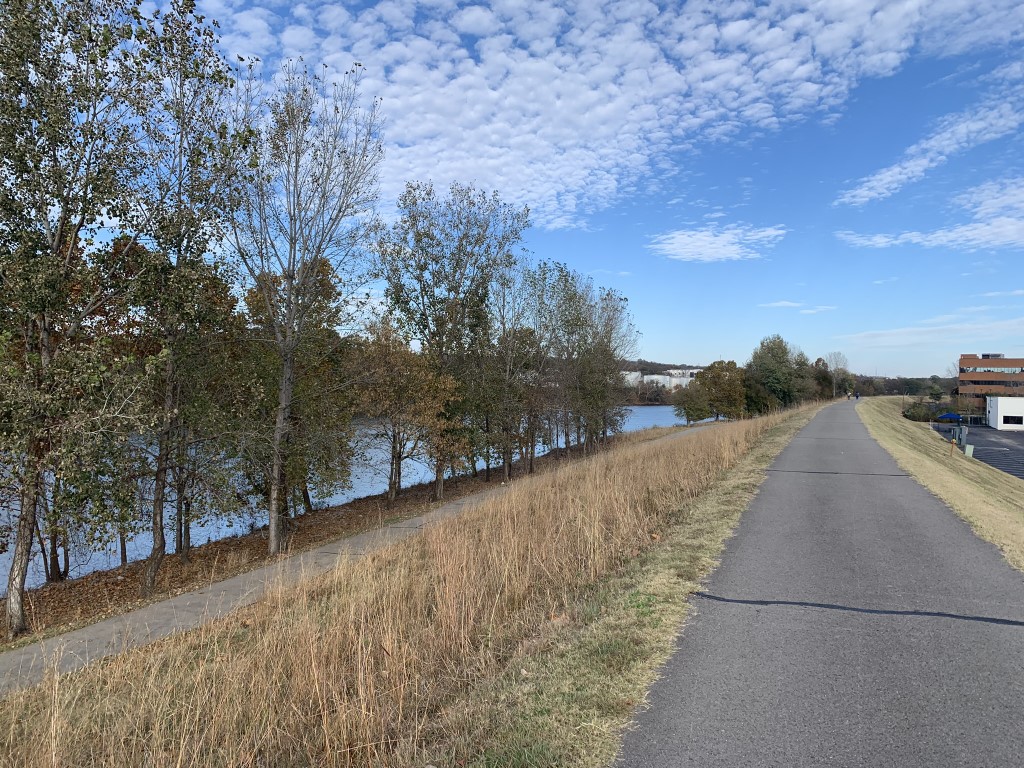
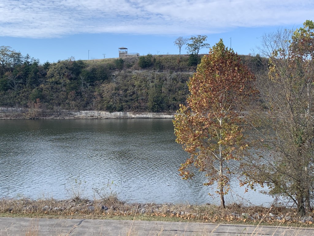
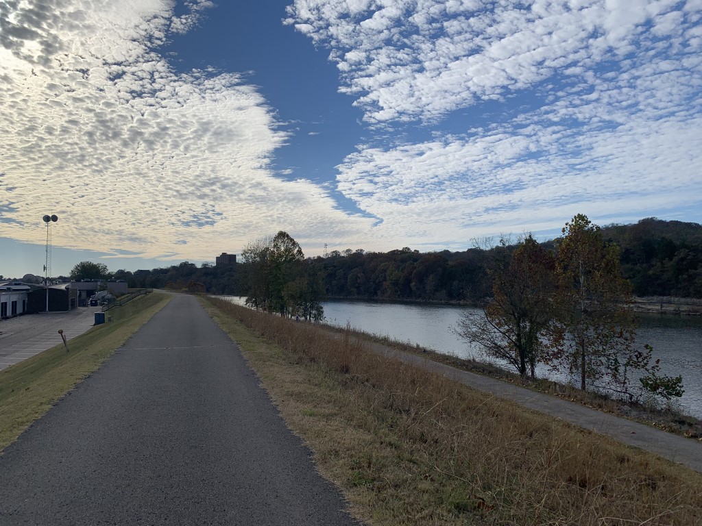
The Ted Rhodes Park/MetroCenter Levee Greenway is a scenic multi-use trail in Nashville, Tennessee, offering opportunities for walking, running, and cycling. The trail is approximately 7.1 miles out and back and is generally considered flat and easy. It takes about 2 hours to complete the entire trail as you follow the Cumberland River with frequent river views from the man-made levee that protects the MetroCenter area. The greenway connects Ted Rhodes Park to Metro Riverfront Park and Nissan Stadium (formerly LP Field). The route is predominantly paved, making it suitable for various activities, including walking, jogging, and biking.
Most of the the Cumberland River Greenway trail lies on the west/south bank of the river, but it does cross over the Shelby Street Bridge and continues to LP Field. This part of the trail is known locally as the East Bank Greenway. The trail runs with frequent views of the river from Ted Rhodes Park at 2015 Ed Temple Boulevard to Metro Riverfront Park and LP Field. On our hike we mostly explored the trails near Ted Rhodes Park which is at the western section of the Greenway and hiked a shorter section of the path.
- click for another photo from the Cumberland River Greenway: November 6, 2021
- click for a trip report from this walk through Ted Rhodes Park: November 6, 2021 (password required)
- click for a park map from Ted Rhodes Park and the surrounding area
- click for a topographical and profile map of the MetroCenter Levee Greenway (password required)
- click for another walk along the MetroCenter Levee in November 2023
- click for another trip to Ted Rhodes Park in November 2022
- click for another hike in Nashville on the Hendersonville Greenway in June 2022
- click for the book 60 Hikes Within 60 Miles of Nashville for more hikes in this area
- click to purchase the guidebook Hiking Tennessee with more details on this destination
- click for more hikes in the State of Tennessee