Spring River Canoe Trail
Twin Bridges Area
Grand Lake State Park
14801 S Hwy 137
Fairland, OK 74343
918-542-6969

The Spring River is located in far northeastern Oklahoma and is a scenic, spring-fed river that flows through Ottawa County before joining the Neosho River near Twin Bridges State Park. Known for its clear waters, limestone bluffs, and excellent fishing, Spring River is a favorite for outdoor enthusiasts. The river is great for canoeing, kayaking, and tubing, especially in the warm months when the water is calm and clear. Twin Bridges State Park is located where the Spring River meets the Neosho River. This state park offers camping, boat ramps, picnic areas, and fishing docks.
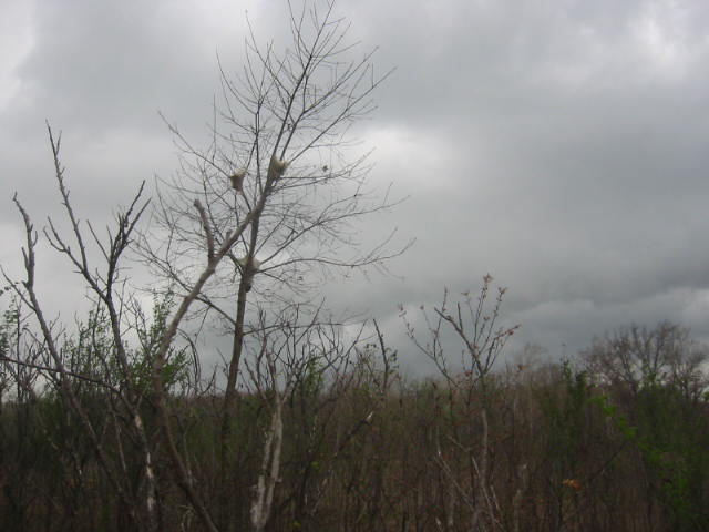
Spring River is one of two rivers that merge to form Grand River, which is the beginning of Grand Lake. Spring River Canoe Trails, at the upper end of Spring River as it enters Oklahoma, sits a few miles upstream from its sister park, Twin Bridges State Park. (Twin Bridges State Park sits at the junction of the Neosho River and Spring River where they form Grand River.) Originally land belonging to the Wyandotte Indians, this area became private farm land until acquired by the Grand River Dam Authority, and then sold to the state of Oklahoma for park development in 1980. This short hike heads east along the river following an old (now abandoned) road in the park. It then loops back, crosses into the camping area and turns east again to finish at the parking area near the boat ramp.
- click for a trip report from this hike at the Spring River: April 25, 2007 (password required)
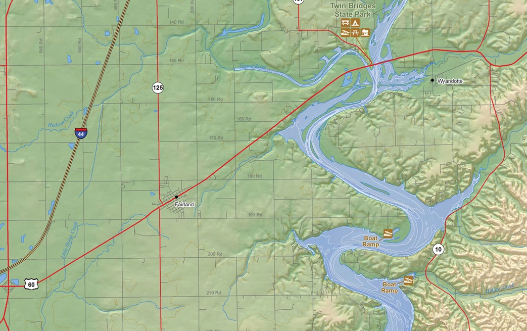
- click for an area map of the Twin Bridges State Park and Spring River
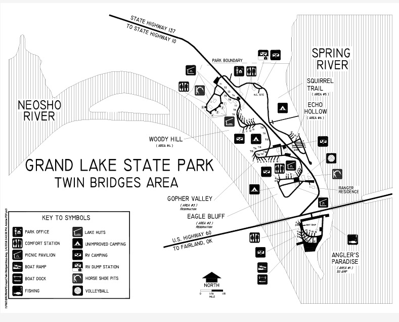
- click for a park map of Grand Lakes State Park and Spring River
- click for more hikes this week at Beaver Lake and the Spring River
- click for hikes this week at Prairie and Bernice State Park
- click for the guidebook Hiking Oklahoma which has more hikes in this area
- click for more hikes in the State of Oklahoma