Flint Ridge
Flint Ridge State Park
c/o B. Weaver
3800 Pleasant Chapel Rd. SE
Newark, Ohio 43056
740-872-3143

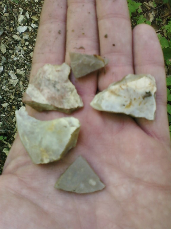
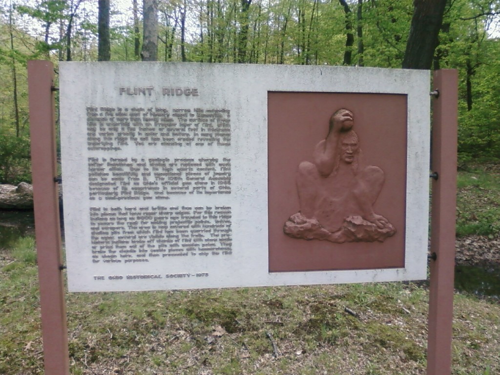
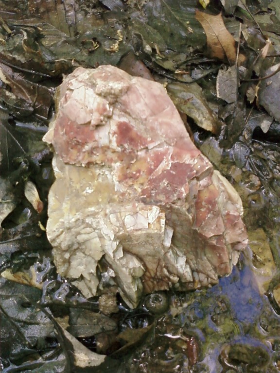
lint Ridge is a remarkable geological and archaeological landscape in Licking and Muskingum Counties in eastern Ohio, where a nearly eight-mile-long vein of high-quality flint runs through the rolling Appalachian foothills. This distinctive band of silica-rich stone—formed millions of years ago from ancient marine deposits—became one of the most important prehistoric quarry sites in North America. Over thousands of years, Native American groups extensively mined the ridge, creating hundreds of visible quarry pits, extraction trenches, and associated workshop areas spread across more than 2,000 acres of ridgetop terrain. These sites represent one of the largest known prehistoric industrial landscapes in the eastern United States and have earned Flint Ridge the nickname “The Great Indian Quarry of Ohio.” The flint extracted here was highly valued for its sharp edges and durability, making it ideal for the production of projectile points, knives, scrapers, and other stone tools. Archaeological evidence shows that Flint Ridge material was widely traded across ancient travel and trade networks, eventually reaching regions as distant as present-day Florida, the Great Plains, and even parts of the Midwest such as Kansas. This wide distribution highlights not only the quality of the material but also the extensive trade systems that connected indigenous cultures long before European contact. Today, Flint Ridge State Memorial preserves this extraordinary cultural landscape, allowing visitors to walk through a place where geology and human history are deeply intertwined.
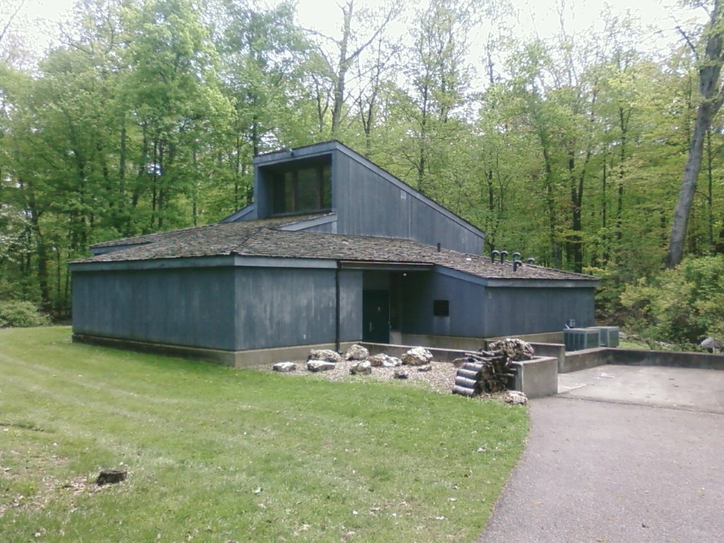
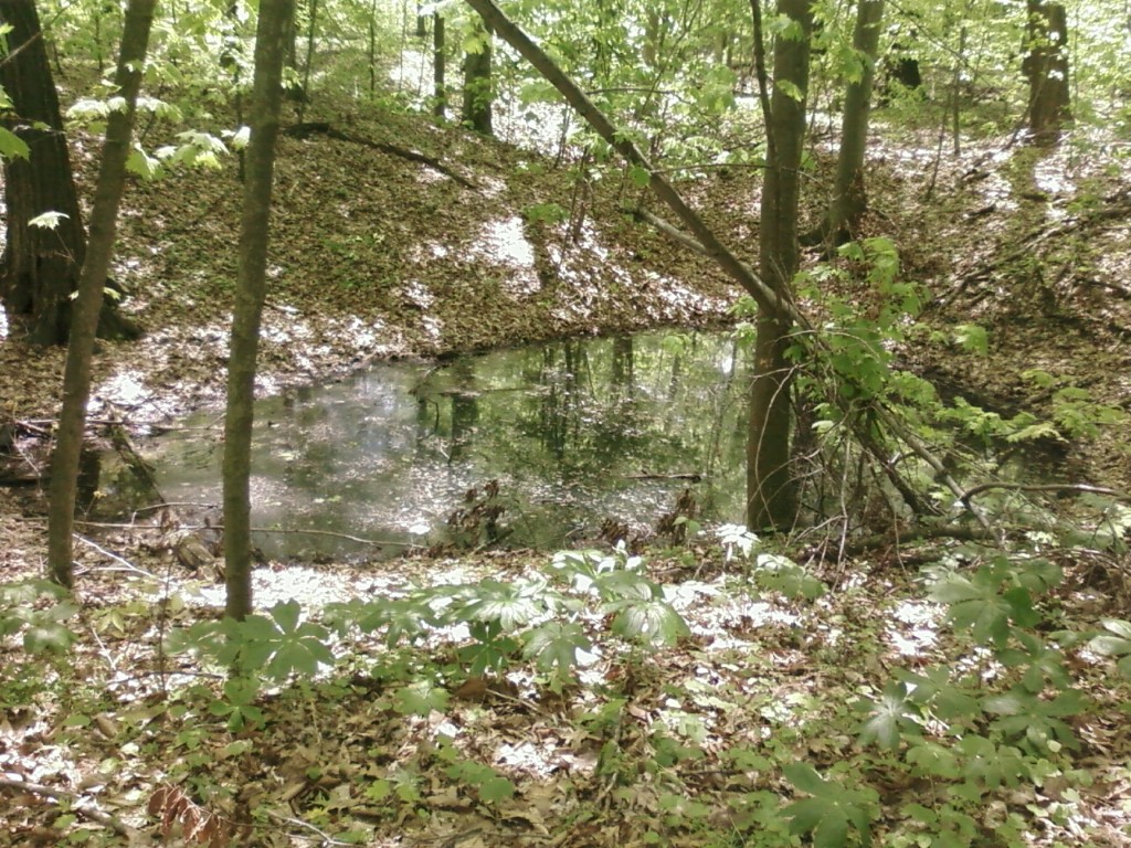
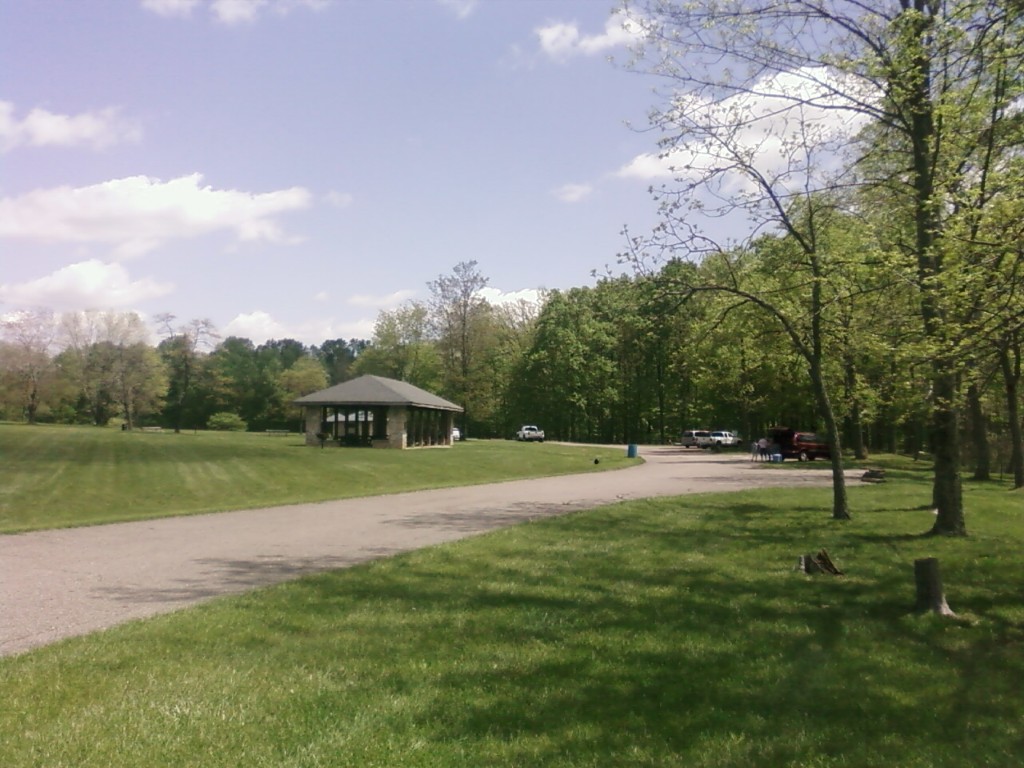
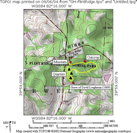
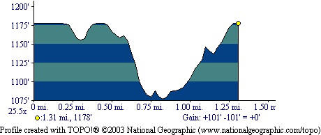
Flint Ridge State Memorial offers a short but highly educational hiking experience, with trails that wind directly past ancient quarry pits and historic extraction sites. The primary loop trail is approximately 1.5 miles in length and begins across from a grassy field near the park’s picnic area. From the trailhead, hikers head south into a quiet hardwood forest dominated by oak, hickory, and maple trees before turning east to begin the loop portion of the route. The path meanders gently through the forest, with subtle elevation changes and occasional views of shallow stream crossings that cut through the landscape. As the trail curves westward, it passes several visible depressions in the ground—remnants of ancient quarry pits where prehistoric miners extracted flint by hand using stone tools and controlled heating techniques to fracture the bedrock. Near the end of the loop, the trail approaches the museum area, where interpretive exhibits provide additional context about the archaeological significance of the ridge. A large wooden statue of a Native American figure stands near the building, marking a visual landmark for visitors completing the hike. From this point, it is only a short walk—about 50 yards—back to the picnic area and parking lot. With its gentle terrain, well-marked paths, and rich historical interpretation, this hike is suitable for visitors of all ages and provides a unique opportunity to experience both natural beauty and one of North America’s most important prehistoric industrial sites in a single visit.
- click for a trip report from this hike on the Flint Ridge Trail: May 10, 2009 (password required)
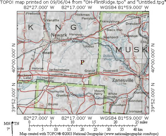
- click for an area, topo and profile map of Flint Ridge State Park
- click for a topographical and profile map of the Flint Ridge Trail (password required)
- click for a hike this weekend in nearby Zanesville on the Gorsuch Fitness Trail
- click for a hike this weekend at Dillon Lake on the Ruffled Grouse Nature Trail
- click for another hike this weekend at Ellis Dam on the Muskingum River
- click for a hike this week at the Paul Yost Recreation Area
- click for the guidebook Hiking Ohio which has more hikes in this area
- click for links to more outdoor books and magazines
- click for more hiking and backpacking trips in the State of Ohio