Snowbird Gap (via Wayah Gap)
Nantahala National Forest
Cheoah District, Route 1, Box 16A
Robbinsville, NC 28771
828-479-6431

The Nantahala National Forest is the largest of the four national forests in North Carolina and is the the second wettest region in the country – after the Pacific Northwest. The word “Nantahala” is a Cherokee word meaning “Land of the Noonday Sun.” In some spots, the sun only reaches the floors of the deep gorges in the middle of the day. The National Forest has 531,270 acres with elevations ranging from 5,800 feet at Lone Bald in Jackson County to 1,200 feet in Cherokee County along the Hiwassee River.
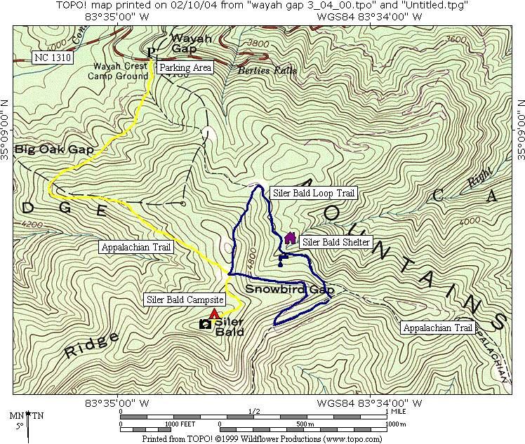
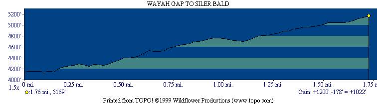
Siler Bald at 5,216 feet was named for William Siler whose great grandson, Reverend A. Rufus Morgan, helped establish the A.T. in North Carolina. The U.S. Forest Service clears and maintains the bald which has a grassy summit with spectacular (and nearly 360 degree) views from Tray Mountain to the Great Smoky Mountains. Wayah Bald, about six trail miles north, can also be seen to the north. This is a loop hike that starts at Wayah Gap on NC 1013 and follows the Appalachian Trail on a southbound ascent of ~1000 feet to Snowbird Gap 4,998 feet at the base of the mountain. From there, follow the blue blazed Siler Bald Shelter trail to a 4×4 road that returns to Wayah Gap.
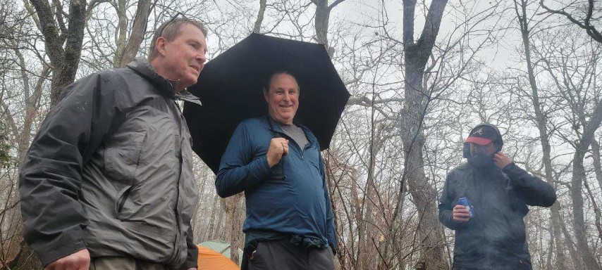
- click for a video of us making a run for the Kelty tarp when the storms roll in early
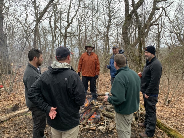
- click for more photos from this hike to Snowbird Gap: February 26, 2022 (password required)
- click for a trip report from this hike along the Appalachian Trail: February 26, 2022 (password required)
- click to purchase the Nantahala and Cullasaja Gorges Trails Illustrated map for this area
- click for a combined topo and profile map of this hike from Wayah Gap to Siler Bald (password required)
- click for a topo and a profile map from this hike to Siler Bald (password required)
- click for the GA/NC Border to Wallace Gap trail map, or the Wallace Gap to Licklog Gap profile map, (password required)
- click for a photo of some major peaks in the National Forest including Siler Bald (password required)
- click for a list of all our Klondike hikes that date back to the late 90’s (password required)
- click for more backpacking trips to Siler Bald from Wayah Gap
- click for a backtrack hike to Siler Bald from Winding Stair Gap in October 1996
- click for a shuttle hike from Wayah Gap to Winding Stair Gap in March 2000
- click for a photo journal from another trip to Snowbird Gap in June 2002 (password required)
- click for a trail map of the Appalachian Trail in Georgia, North Carolina, and Tennessee (password required)
- click for the guidebook Appalachian Trail: Georgia-North Carolina which has details on this destination