Whiteside Mountain
Nantahala National Forest
Wayah Ranger District
Franklin, NC 28734
828-524-6441
The Nantahala National Forest is the largest of North Carolina’s four national forests, covering over 530,000 acres in the westernmost part of the state. Named after the Cherokee word “Nantahala,” meaning “Land of the Noon Day Sun,” this forest is known for its deep gorges and valleys, where sunlight may only penetrate at midday. The Wayah Ranger District, one of the ranger districts in this forest, is located in the southwestern part of North Carolina. It encompasses a variety of natural features and outdoor recreational opportunities.
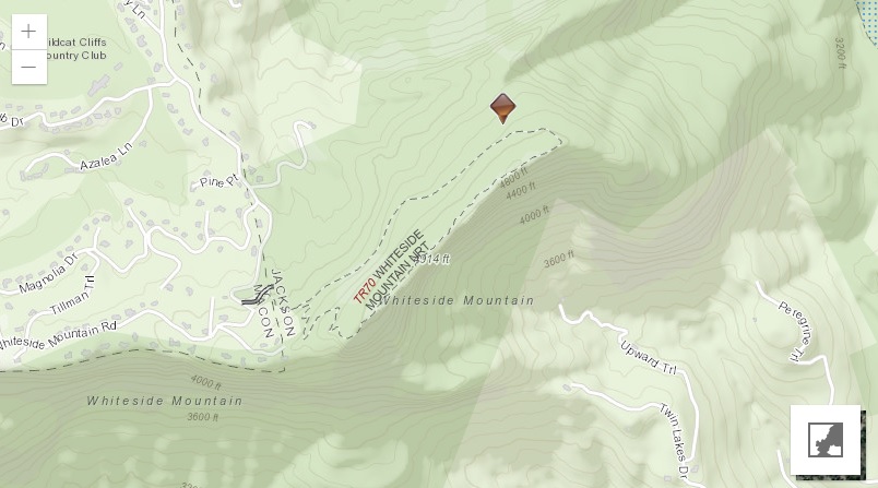
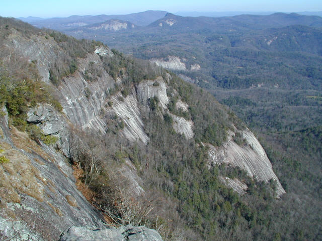
Whiteside Mountain is located a short distance from the communities of Cashiers and Highlands, North Carolina and the summit is a popular day-hiking destination for the local residents. At 4,930 feet, Whiteside Mountain has spectacular views looking east toward Blackrock, Yellow, and Terrapin mountains. The well-marked, moderately difficult loop trail that traverses its summit offers views to the Chattooga River Valley, and gains about 500′ in elevation from the parking area. Sheer 750′ cliffs drop to the valley floor from the ridges along Whiteside Mountain, and are among the highest in Eastern America.
- click for more photos from this hike to Whiteside Mountain: November 29, 2002
- click for a trip report from this hike near Highlands, NC: November 29, 2002 (password required)
- click for the Nantahala and Cullasaja Gorges Trails Illustrated map for this area
- click for a topographical and profile map of this hike in the Wayah Ranger District (password required)
- click for hikes to the nearby Panthertown Creek in June 2012, November 2014, July 2017, August 2020, February 2023
- click for photos from another hike to Panthertown Creek starting at the Salt Rock Gap trailhead
- click for other North Carolina hiking and backpacking books
- click for more hikes in the State of North Carolina