Mount Sterling
Great Smoky Mountains National Park
107 Park Headquarters Road
Gatlinburg, TN 37738
(865) 436-1200

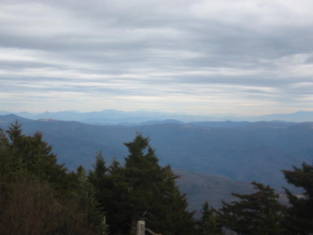
The Great Smoky Mountains National Park stretches across 800 square miles, with nearly 95 percent of its land covered in forest. These ancient mountains, which are among the oldest on Earth, are built from rocks more than 200 million years old with their jagged peaks worn down into the soft, rounded ridges that are present today. These ridgelines are traversed by the Appalachian Trail which climbs to its highest point at Clingmans Dome (6,643 feet) and straddles the border of North Carolina and Tennessee in the park. From the ridges you will often see a distinctive blue haze that lingers over the valleys. It is a natural mist that is created when plants release water vapor and organic compounds into the air which gives the area its trademark “Smoky” Mountains name. Unfortunately, the majority of the people that visit the park never visit the backcountry and see some of the best wilderness in the Southeastern U.S.
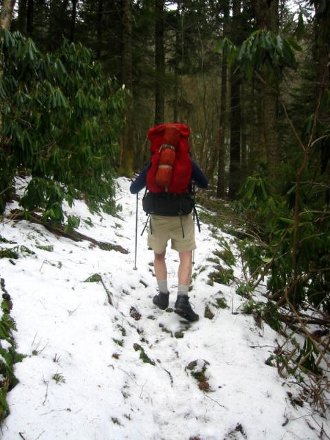
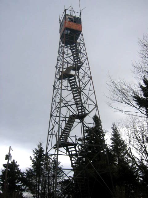
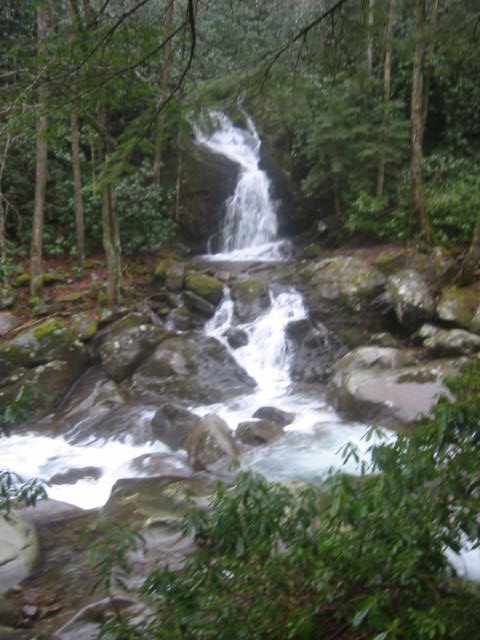
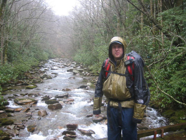
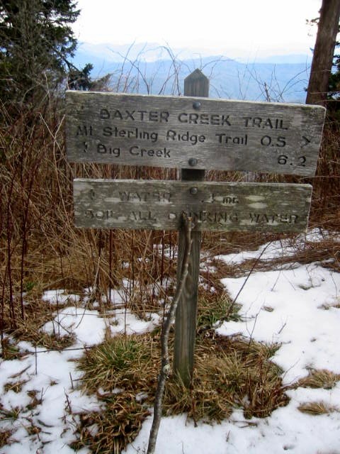
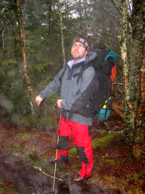
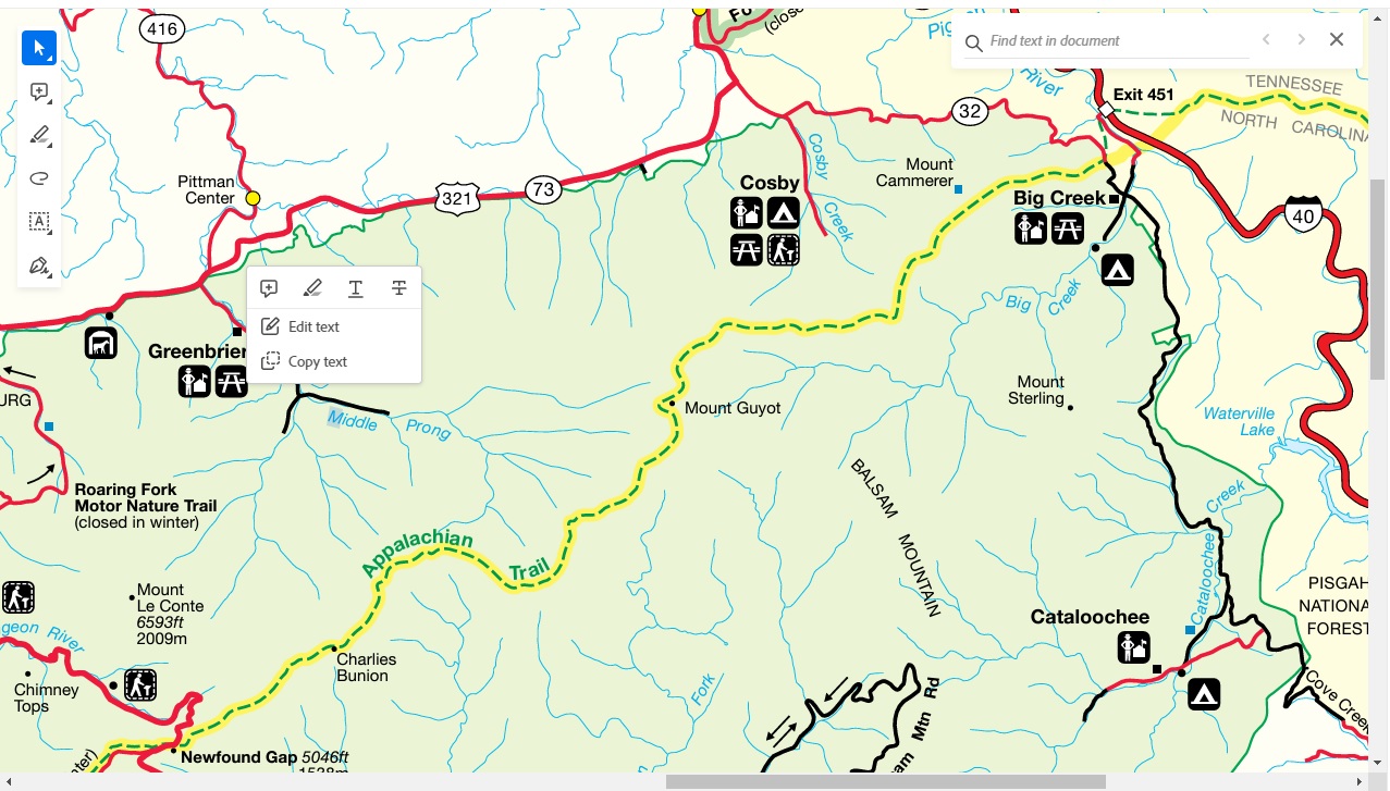
Mount Sterling is a 5,842′ mountain on the border of North Carolina and Tennessee, inside the Great Smoky Mountains National Park. The mountain crowns a 7-mile ridge (often called “Mount Sterling Ridge”) that runs from the flanks of Big Cataloochee Mountain down toward the Pigeon River valley. Early settlers in the area discovered what they believed was a 2-foot–wide streak of lead in the nearby Pigeon River and mistakenly thought it was silver. Because of the mistaken belief, they named the mountain “Sterling,” referring to “sterling silver” although no silver was ever being found in the area. The Mount Sterling hike is a 2-3 day route that starts at Big Creek Campground and follows a loop through the eastern section of the park. The hike takes you to the summit of Mount Sterling where there are outstanding views from a fire tower at the summit. The route then follows a ridge past Laurel Gap and descends to three waterfalls along Gunter Fork and Big Creek. It ends back at the parking area at Big Creek Campground.
- click for more photos from this hike in the Great Smoky Mountains National Park: January 16, 2004
- click for a detailed trip report for this hiking trail to Mount Sterling: January 16, 2004 (password required)
- click for a trip report for this hike to along Gunter Fork and Big Creek: January 16, 2004 (password required)
- click for a Trails Illustrated map of Great Smoky Mountains National Park
- click for a road and facilities map of Great Smoky Mountains National Park
- click for a trail map of Great Smoky Mountain National Park
- click for a topographical and profile map of this hike to Mount Sterling
- click for another route that our group did this weekend over Mount Cammerer
- click for a map of some other trails hiked in this area in the Great Smoky Mountains National Park
- click for a list of all our Klondike hikes that date back to the late 90’s (password required)
- click for access to the guidebook Trail By Trail: Backpacking In The Smoky Mountains which has details on this destination
- click for other North Carolina hiking and backpacking books