Lake Jocassee (via Canebrake Trail)
Gorges State Park
NC 281 South, P.O. Box 100
Sapphire, NC 28774-0100
(828) 966-9099

Gorges State Park is one of North Carolina’s newest and most ecologically significant state parks, encompassing more than 7,100 acres along the rugged Blue Ridge Escarpment near the South Carolina border. The park was created when the State of North Carolina acquired land from Duke Energy Corporation, a transfer that also included an additional 2,900 acres of surrounding game lands now managed by the North Carolina Wildlife Resources Commission. Together, these protected lands form a large contiguous conservation area that helps preserve the steep transition zone between the high Blue Ridge Mountains and the lower Piedmont region. This dramatic landscape is defined by sudden elevation drops, deep river-cut gorges, and fast-flowing mountain streams that cascade over resistant bedrock formations. Water is a dominant force in shaping the park, with numerous waterfalls and tributaries cutting through the terrain and contributing to the exceptionally lush and humid environment. Receiving some of the highest rainfall totals in the eastern United States, the park supports a remarkable diversity of plant and animal life, including rare species that depend on cool, moist, and undisturbed habitats. Botanists and biologists have documented an unusually high concentration of rare ferns, orchids, salamanders, and mosses, making the park a living laboratory for ecological study and one of the most biologically rich areas in the Southern Appalachians. The combination of dramatic scenery, scientific importance, and relatively recent public access has quickly established Gorges State Park as a premier destination for hiking, waterfall exploration, wildlife observation, and backcountry camping.
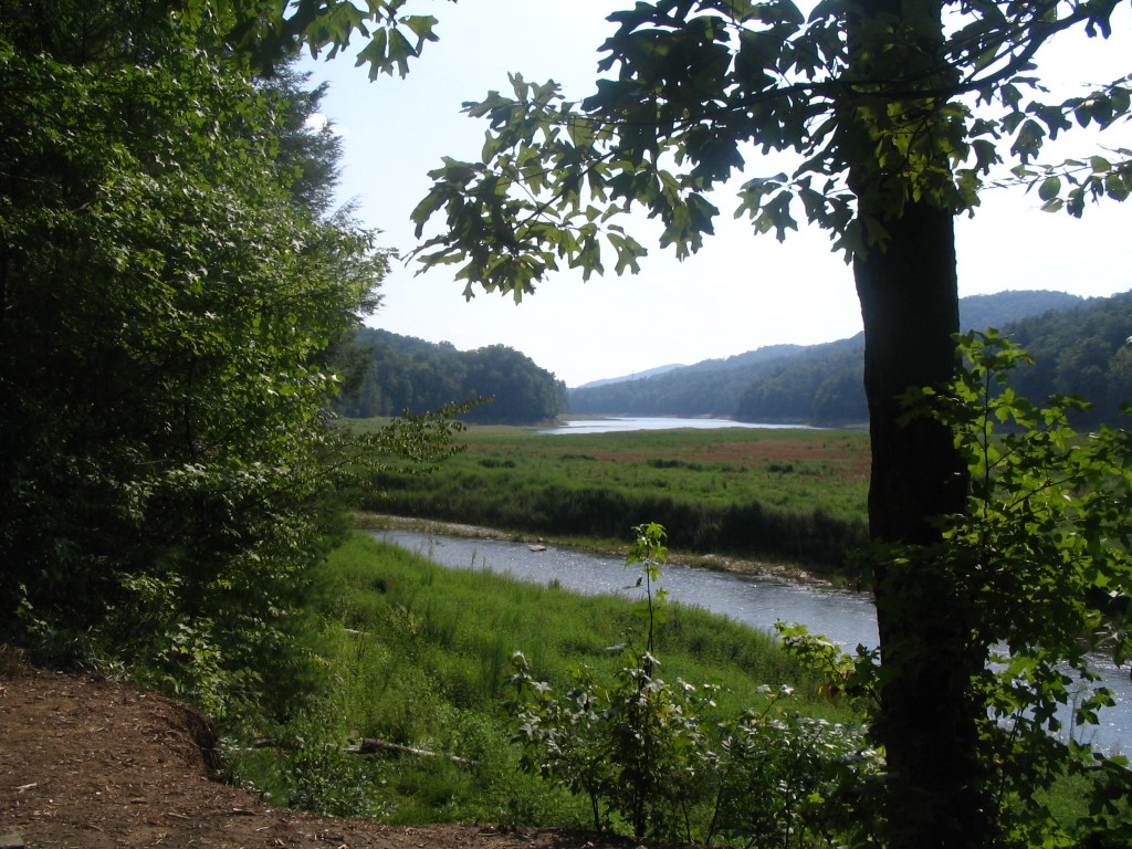
This hike to Lake Jocassee begins at the parking area along Frozen Creek Road and follows the Canebrake Trail as it descends steadily into a remote and increasingly wild river valley. Early in the hike, the trail passes through a mixed hardwood forest with stands of oak, poplar, and hemlock, gradually transitioning into cooler, more shaded sections where rhododendron and mountain laurel form dense evergreen tunnels along the path. As the elevation drops, hikers begin to hear the sound of rushing water from the Toxaway River far below, a clear indication of the dramatic terrain ahead. The trail eventually reaches a designated backcountry campground near the river, where several established campsites provide a rustic but well-equipped base for overnight stays in the Jocassee Gorges region. Each campsite typically includes a picnic table, a metal fire ring, and a bear-resistant food storage pole designed to protect both campers and local wildlife. From this area, a lengthy suspension bridge spans the Toxaway River, offering a memorable crossing with elevated views of the water flowing through the gorge beneath. The bridge also serves as an important access point for hikers continuing deeper into the wilderness toward Lake Jocassee, a reservoir known for its exceptionally clear water, undeveloped shoreline, and scenic mountain backdrop. This section of trail offers a true backcountry experience, where solitude, natural beauty, and the sense of remoteness increase as hikers move farther from the trailhead.
- click for a podcast about hiking the Canebrake Trail to Lake Jocassee
- click for more photos from this backpacking trip in Gorges State Park: August 30, 2008
- click for a trip report from this hike to the Foothills Trail at Lake Jocassee: August 30, 2008 (password required)
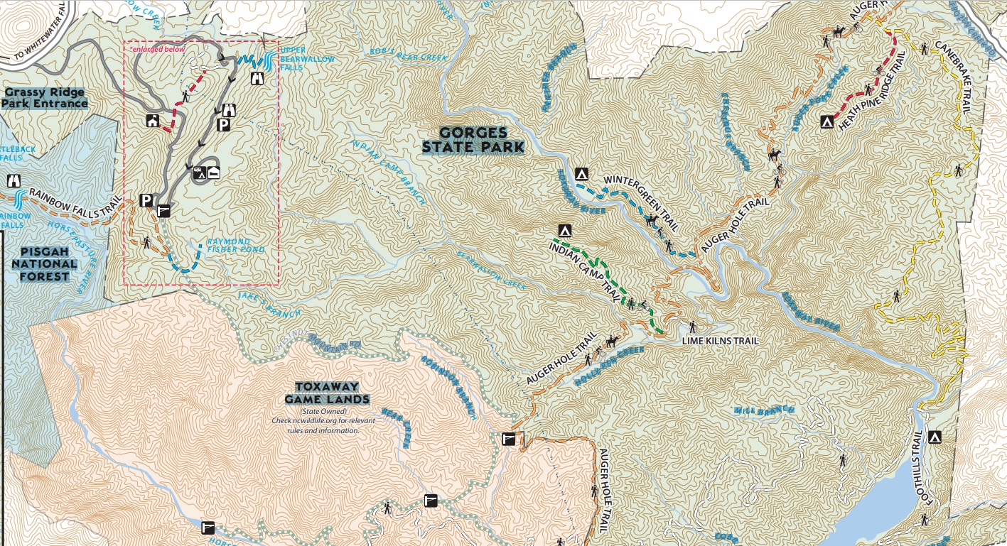
- click for a park map of Gorges State Park printed in 2023
- click for a park map of Gorges State Park from 2013
- click for a topographical and profile map for the Canebrake Trail (password required)
- click for the guidebook North Carolina Hiking Trails which has details on this destination
- click for other North Carolina hiking and backpacking books
- click for more information on the Foothills Trail
- click for the Foothills Trail Guidebook which is published by the Foothills Trail Conference
- click for some recommended books for hiking and backpacking along the Foothills Trail