Appalachian Trail #1 (Bly Gap to Rock Gap)
Appalachian Trail Conservancy
799 West Washington Street
Harpers Ferry, WV 25425
(304) 535-6331
The Appalachian Trail runs along the border of North Carolina and Tennessee for about 200 miles, often straddling the ridgeline that separates the two states. It’s one of the most scenic and diverse sections of the entire 2,190+ mile trail, with high elevations, scenic balds, dense forests, and stunning views. The State of North Carolina has the highest point of the entire A.T. at Clingmans Dome (6,643 feet) which is on the ridgeline in the Great Smoky Mountain National Park. Max Patch, Roan Mountain, and Big Bald also offer some of the most scenic views in this section.
This is the first section of the Appalachian Trail in North Carolina which starts in Bly Gap at the border with Georgia. Standing Indian at 5,498 feet is the first place the A.T. goes above 5,000 feet for the northbound hiker, and it has excellent views from a grassy area (and former site of a fire tower). Albert Mountain is the next major climb in this section, and the fire tower is still standing on the mountain (although the enclosed top is locked and off limits to hikers.) Albert has 360 degree views of the Blue Ridge, the Little Tennessee Valley and the Nantahala National Forest.
- click for a short video slideshow of my 1994 hike on the Appalachian Trail
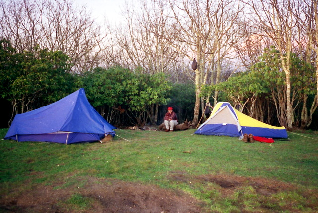
- click for trail photos from this backpacking trip in North Carolina: April 19-21, 1994
- click for a trail journal from this section of the A.T. starting at Bly Gap: April 19-21, 1994
- click for a Daytimer report from this backpacking trip to Rock Gap: April 19-21,1994 (password required)
- click to purchase the Nantahala and Cullasaja Gorges Trails Illustrated map for this area
- click for a trail map of the Appalachian Trail in Georgia, North Carolina, and Tennessee (password required)
- click for an ATC trail map from the GA/NC Border to Wallace Gap (password required)
- click for an ATC profile map from GA/NC to the Timber Ridge Trail (password required)
- click for an ATC profile map from the Timber Ridge Trail to Wallace Gap (password required)
- click for a winter hike from Rock Gap in January 2002
- click for more information on the Appalachian Trail
- click for Appalachian Trail hiking and backpacking books
- click for the guidebook Appalachian Trail: Georgia-North Carolina which has details on this area
- click for other North Carolina hiking and backpacking books