Wesser Bald (via Appalachian Trail)
Nantahala National Forest
Cheoah District, Route 1, Box 16A
Robbinsville, NC 28771
828-479-6431

The Nantahala National Forest is the largest of the four national forests in North Carolina and is the the second wettest region in the country – after the Pacific Northwest. The word “Nantahala” is a Cherokee word meaning “Land of the Noonday Sun.” In some spots, the sun only reaches the floors of the deep gorges in the middle of the day. The National Forest has 531,270 acres with elevation ranging from 5,800 feet at Lone Bald in Jackson County to 1,200 feet in Cherokee County along the Hiwassee River.
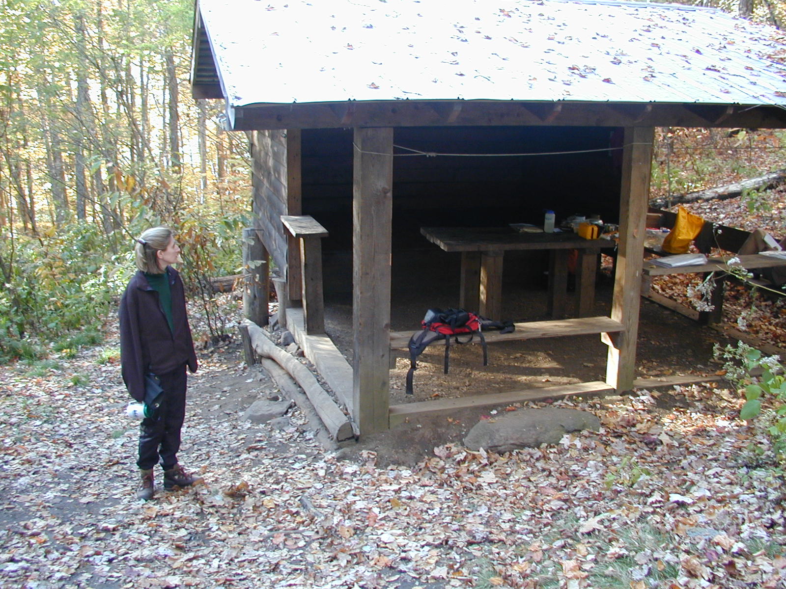
Wesser Bald at 4,627 feet has an observation tower converted from the base of a former fire tower and is located 1.4 miles northbound on the Appalachian Trail from Tellico Gap on NC 1365. The 360 degree views of the surrounding Nantahala National Forest are excellent from this platform, but you must climb 763 feet to get to there. To reach Wesser Bald Shelter, continue on the A.T. for another 0.8 miles. You will pass a boxed spring to the right of the trail which is the water source for the area. The shelter has a covered table and bench in front of the small sleeping area. A fire pit and campsites are also located nearby.
- click for more photos from this hike to Wesser Bald: October 20, 2001 (password required)
- click for a trip report from this backpacking trip on the Appalachian Trail: October 20, 2001 (password required)
- click for the Nantahala and Cullasaja Gorges Trails Illustrated map for this area
- click for a topo and profile map of this loop hike around Wesser Bald (password required)
- click for a trail map of this section from Cold Spring Shelter to the Nantahala Outdoor Center (password required)
- click for a profile map of this section from Burningtown Gap to the Nantahala Outdoor Center (password required)
- click for another backpacking trip to Wesser Bald in February 2020
- click for a trail map of the Appalachian Trail in Georgia, North Carolina, and Tennessee (password required)
- click for more information on the Appalachian Trail
- click for Appalachian Trail hiking and backpacking books
- click for the guidebook Appalachian Trail: Georgia-North Carolina which has details on this destination
- click for other North Carolina hiking and backpacking books