Rufus Morgan Shelter
Nantahala National Forest
Cheoah District, Route 1, Box 16A
Robbinsville, NC 28771
828-479-6431
The Nantahala National Forest is the largest of the four national forests in North Carolina, encompassing more than half a million acres of some of the most diverse and rugged terrain in the Southern Appalachians. Covering approximately 531,270 acres, the forest stretches across the western edge of the state and is known for its deep river gorges, high ridges, dense hardwood forests, and fast-flowing mountain streams. It is also one of the wettest regions in the eastern United States, receiving heavy annual rainfall that sustains its lush vegetation and numerous waterfalls. The name “Nantahala” comes from the Cherokee language and translates to “Land of the Noonday Sun,” a reference to the dramatic topography where steep canyon walls and narrow valleys allow sunlight to reach the forest floor only when the sun is directly overhead. In many of the deeper gorges, daylight is limited for much of the day, creating cool, shaded environments filled with mosses, ferns, and moisture-loving plant species. Elevations within the forest range from around 1,200 feet along the Hiwassee River in Cherokee County to nearly 5,800 feet at Lone Bald in Jackson County, producing a wide variety of ecological zones that support an impressive range of wildlife, from black bears and wild turkey to salamanders and migratory birds.
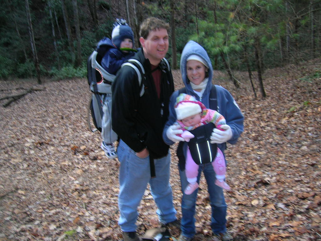
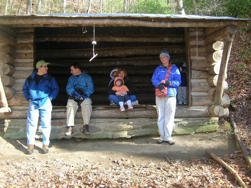
This short but strenuous hike begins at the Nantahala Outdoor Center (NOC) in Wesser, North Carolina, one of the most well-known outdoor recreation hubs in the Southeast. From the river level near the Nantahala River, the Appalachian Trail immediately begins a steady ascent southbound toward the ridgeline, gaining roughly 500 feet in elevation over a relatively short distance. The climb is characterized almost entirely by a series of switchbacks that wind through dense hardwood forest, helping to moderate the steepness but still requiring consistent effort. As hikers gain elevation, occasional openings in the trees provide brief glimpses back toward the river valley and the busy whitewater rapids below, where kayakers and rafters often navigate the famous Nantahala Falls section. Near the final stretch of the climb, the grade eases slightly before reaching the Rufus Morgan Shelter, which sits about 50 yards east of the Appalachian Trail in a quiet forested hollow. The shelter is a traditional three-sided Appalachian Trail structure with a nearby water source and space to accommodate roughly 6–8 hikers, making it a common stop for thru-hikers and section hikers alike. Surrounded by towering hardwoods and the sounds of the forest, it offers a peaceful resting point after the demanding climb from the river below.
- click for a trip report from this hike to Rufus Morgan Shelter: January 1, 2008 (password required)
- click for the Trails Illustrated Nantahala and Cullasaja Gorges map for this hike
- click for an ATC topographical map from Cold Springs Shelter to NOC (password required)
- click for an ATC profile map from Burningtown Gap to the NOC (password required)
- click for a list of our hikes over the New Years holiday starting in December 2004 (password required)
- click for a trail map of the Appalachian Trail in Georgia, North Carolina, and Tennessee (password required)
- click for more information on the Appalachian Trail
- click for Appalachian Trail hiking and backpacking books
- click for the guidebook Appalachian Trail: Georgia-North Carolina which has details on this area
- click for other North Carolina hiking and backpacking books