Long Branch
Nantahala National Forest
Wayah Ranger District
Franklin, NC 28734
828-524-6441

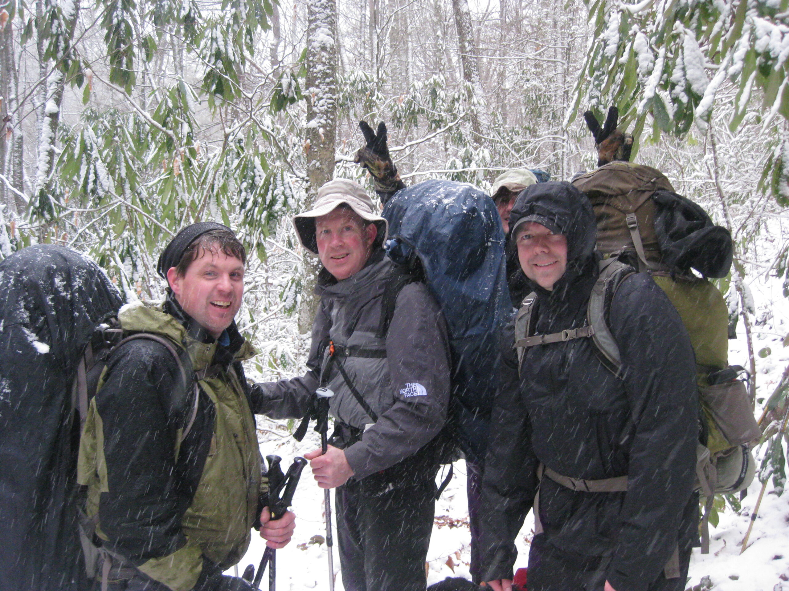
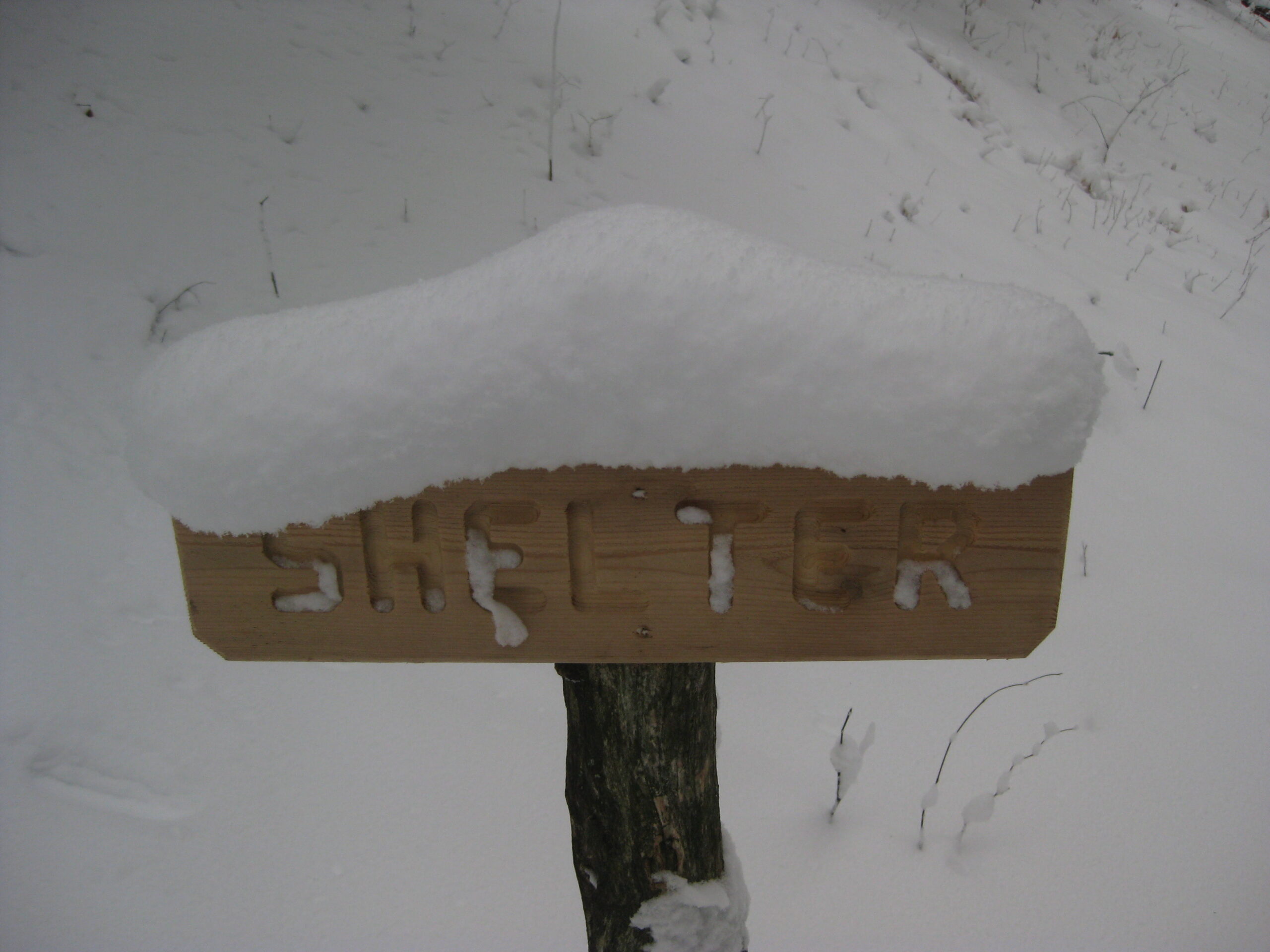
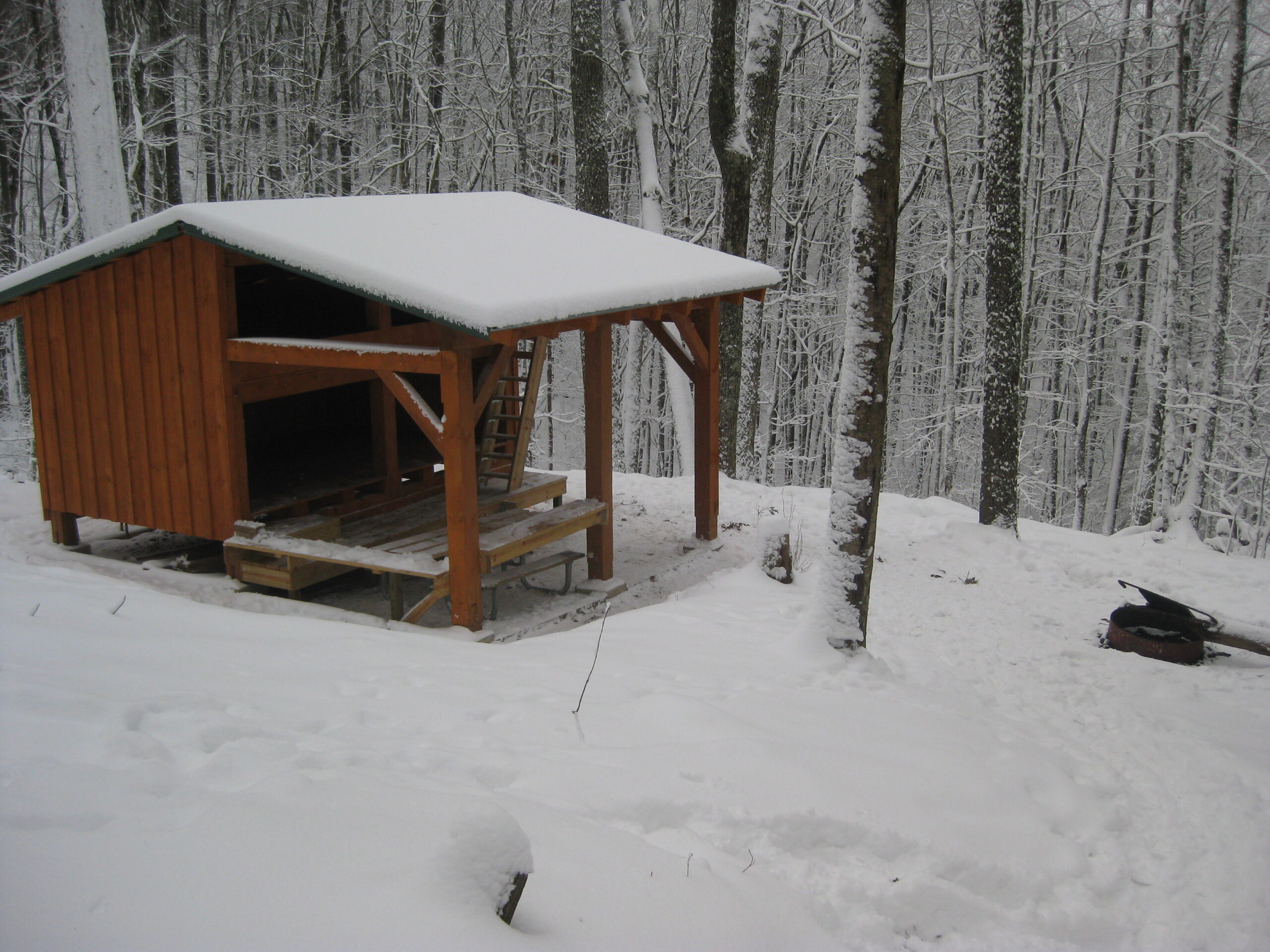
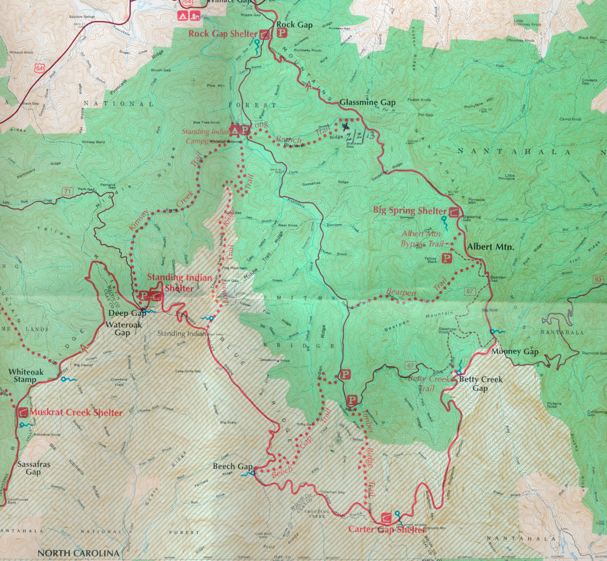
Standing Indian Campground is located about 20 minutes from Franklin, N.C. and is open from April through November. A number of hiking trails start just past the campground and climb to the Appalachian Trail – which has elevations in excess of 5000 feet in this area. This hike starts just past Standing Indian Campground and follows the Long Branch Trail 2.0 miles and 800 feet up to the Appalachian Trail at Glassmine Gap. From here, the route turns to the right and climbs another 250 feet to the headwaters of Long Branch Creek where a shelter built in 2012 resides only a few tenths of a mile off the trail. The structure is two-story and has a picnic table, fire ring, and roomy privy situated in the back.
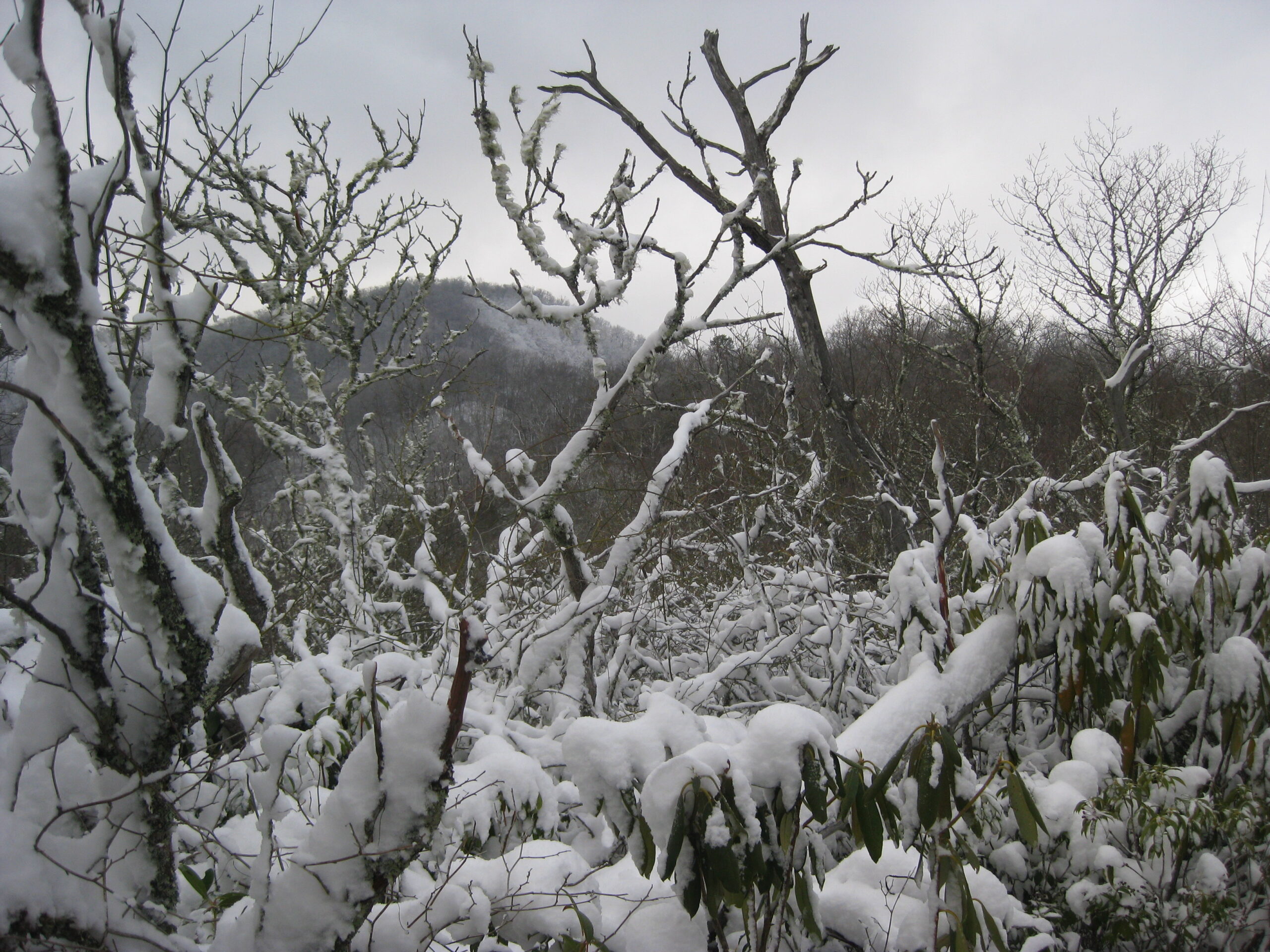
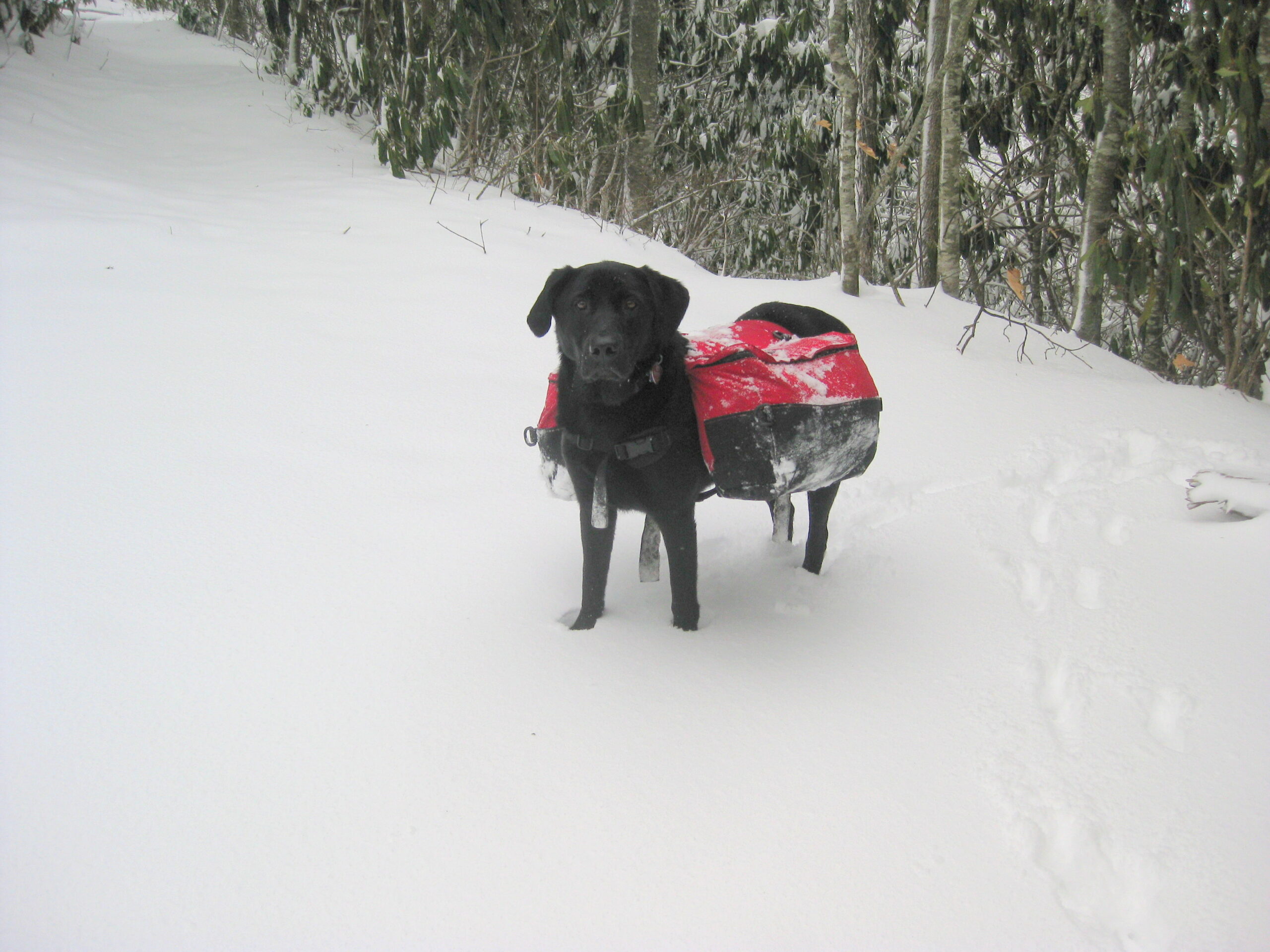
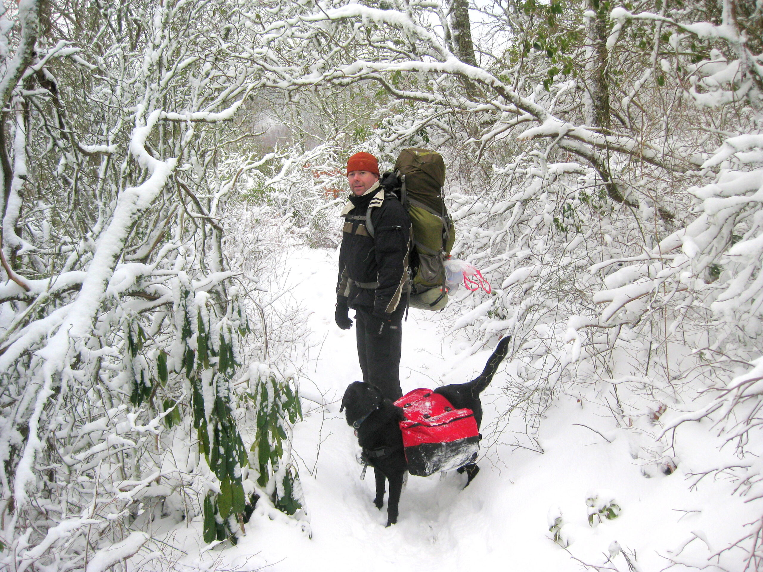
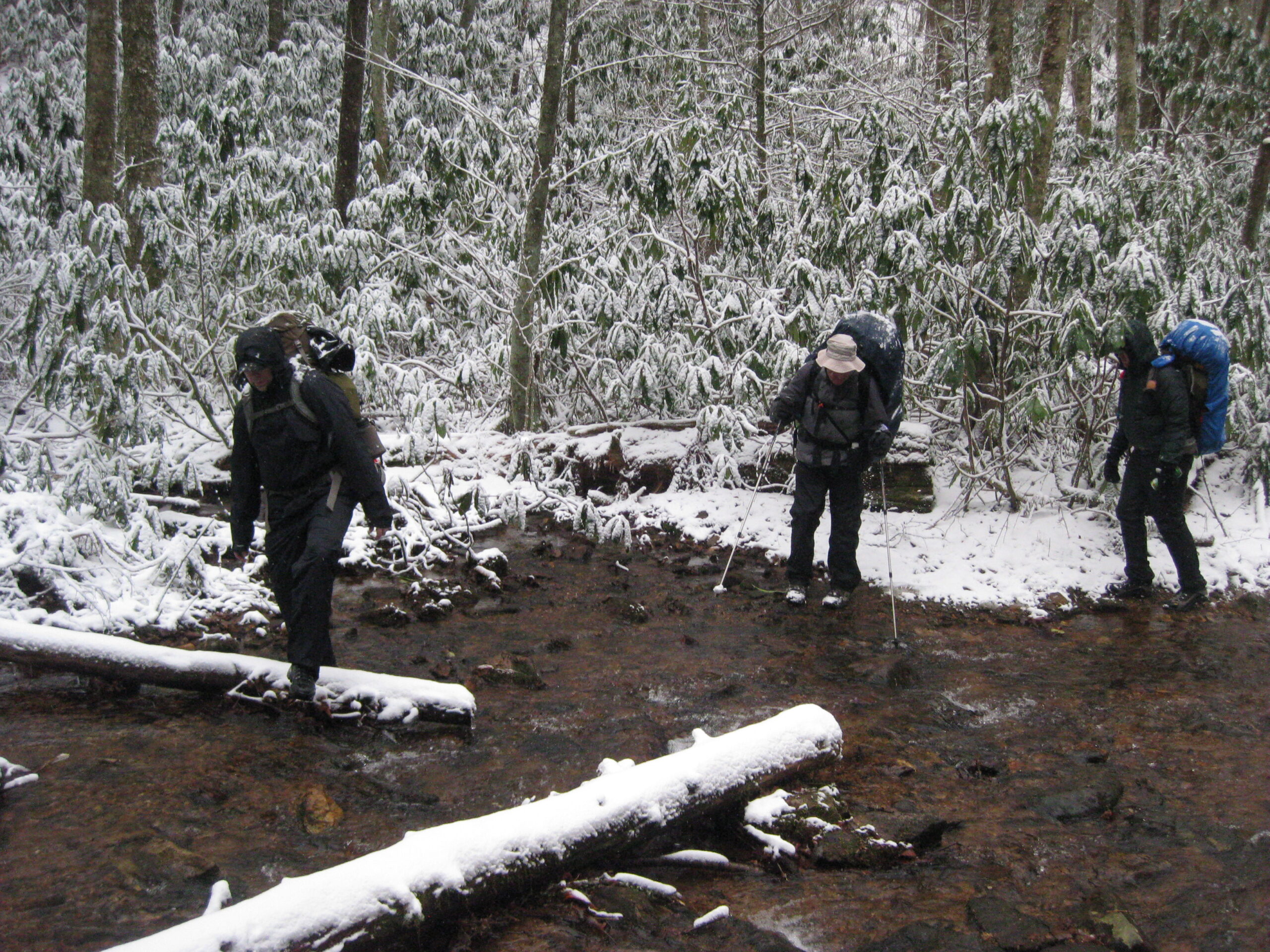
Long Branch Creek is a small, reliable mountain stream in the Nantahala National Forest of western North Carolina, flowing close to the Appalachian Trail and providing the main water source for hikers staying at Long Branch Shelter. It’s a typical Southern Appalachian creek—cold, clear, and shaded by rhododendron and hardwood forest—fed by rainfall and the high, wet slopes around the Standing Indian / Albert Mountain area. The creek isn’t large, but it runs consistently through most of the year, reached by a short downhill side trail from the shelter. Long Branch Shelter is a newer, two-story Appalachian Trail shelter in western North Carolina, located about 3.7 miles north of Rock Gap and roughly 5 miles south of Winding Stair Gap near Franklin. Built in 2012 by the Nantahala Hiking Club, it offers space for about a dozen hikers and nearby tenting spots. Tucked in a quiet, forested section of the Nantahala National Forest, it serves as a convenient overnight stop for hikers heading toward Franklin or approaching the scenic climb to Albert Mountain just a few miles to the north.
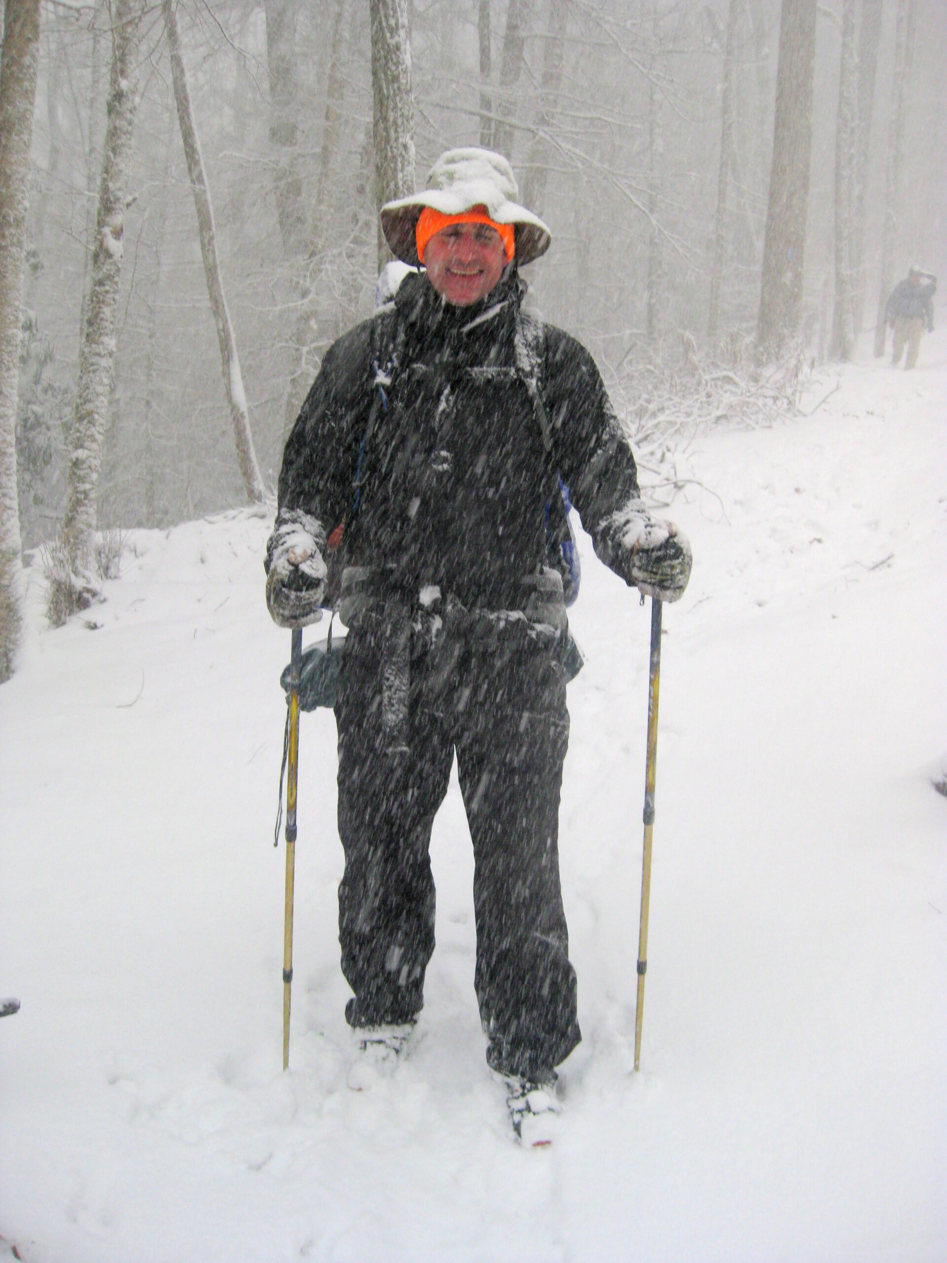
- click for a video slideshow from this winter backpacking trip to Long Branch: February 2, 2013
- click for a video of us arriving in a driving snow storm then warming up with a cold beer
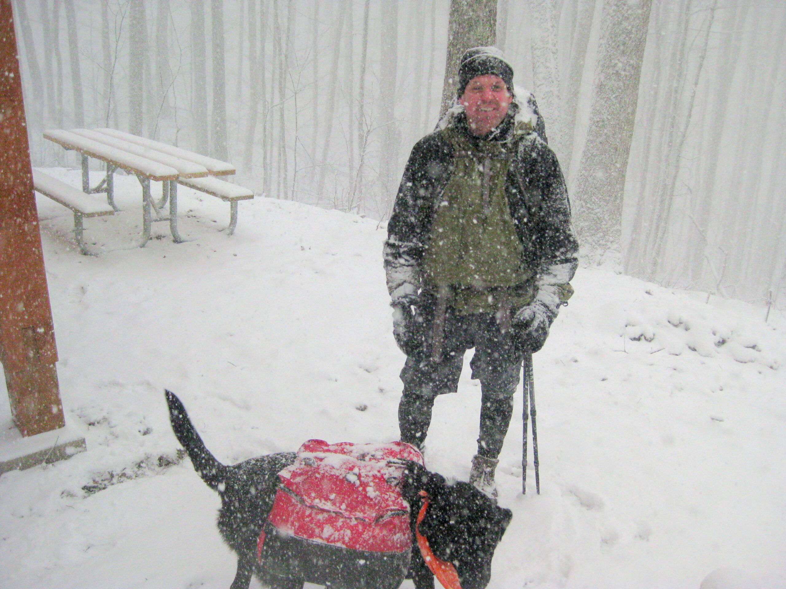
- click for a video of Boone Dawg’s first snow hike and 50 degrees & sunny?
- click for a photo journal from this hike near Standing Indian Campground: February 2, 2013
- click for more photos from this hike to Long Branch Shelter: February 2, 2013 (password required)
- click for a trip report from this backpacking trip on the Appalachian Trail: February 2, 2013 (password required)
- click for a map of the location of the Long Branch Shelter,
- click for an A.T. trail map of Standing Indian Campground and the surrounding area,
- click for a topo and profile map of the Long Branch Trail (password required)
- click for a profile map from the Timber Ridge Trail to Wallace Gap map (password required)
- click for a recap of our annual cold weather Klondike Hikes into the wilderness which began in the early 90’s
- click for a trail map of the Appalachian Trail in Georgia, North Carolina, and Tennessee (password required)
- click for more information on the Appalachian Trail
- click for more hiking and backpacking books on the Appalachian Trail