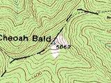
Cheoah Bald
Nantahala National Forest
Wayah Ranger District
Franklin, NC 28734
828-524-6441
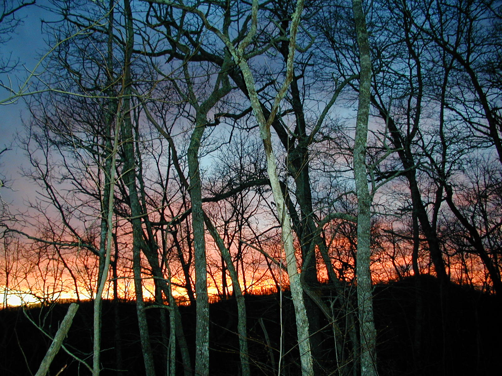
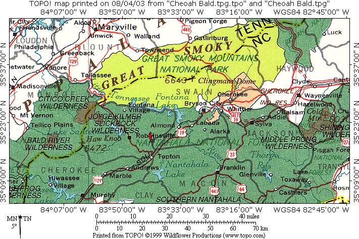
The Nantahala National Forest is the largest of the four national forests in North Carolina and is the the second wettest region in the country – after the Pacific Northwest. The word “Nantahala” is a Cherokee word meaning “Land of the Noonday Sun.” In some spots, the sun only reaches the floors of the deep gorges in the middle of the day. The National Forest has 531,270 acres with elevation ranging from 5,800 feet at Lone Bald in Jackson County to 1,200 feet in Cherokee County along the Hiwassee River.
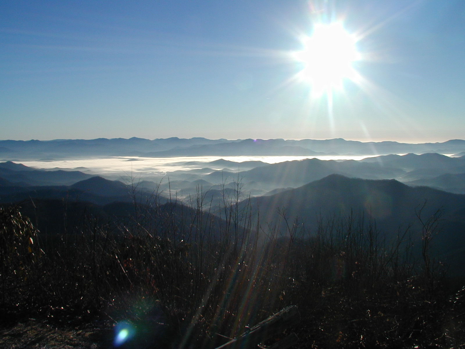
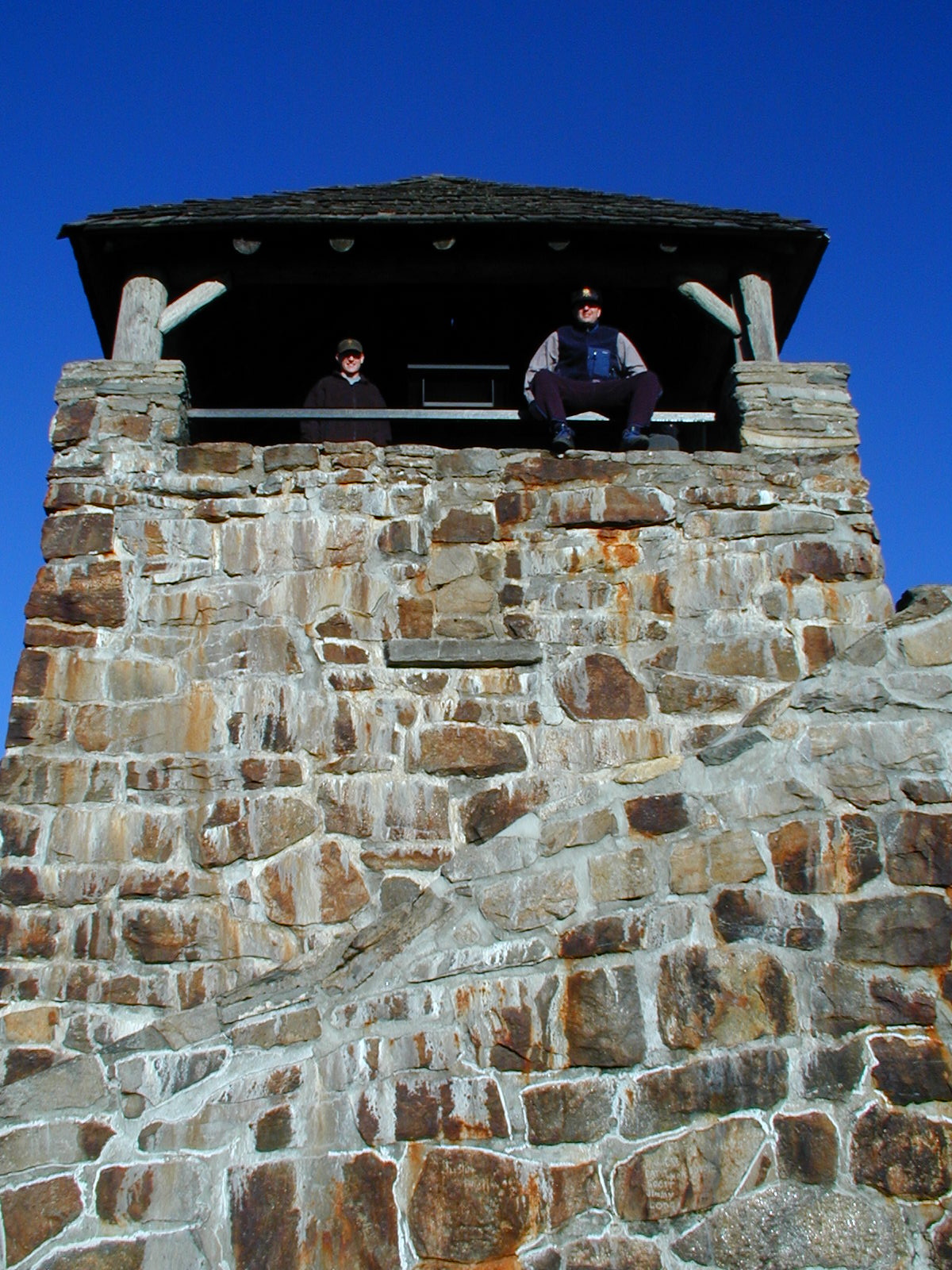
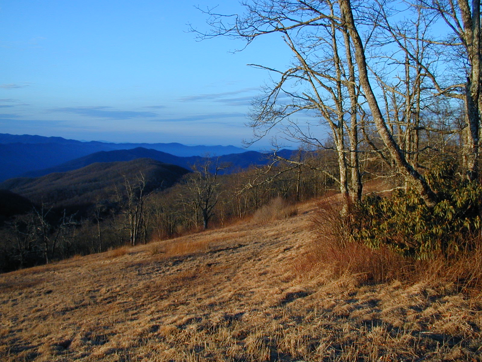
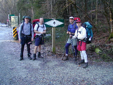
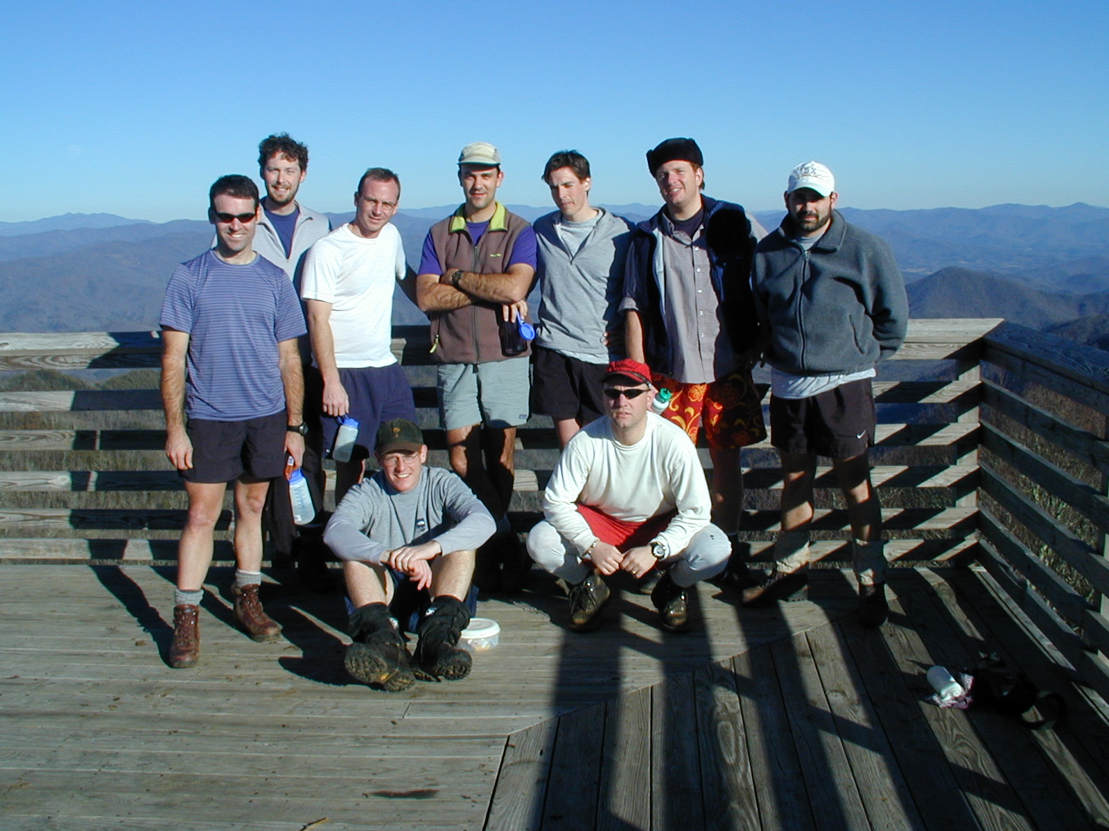
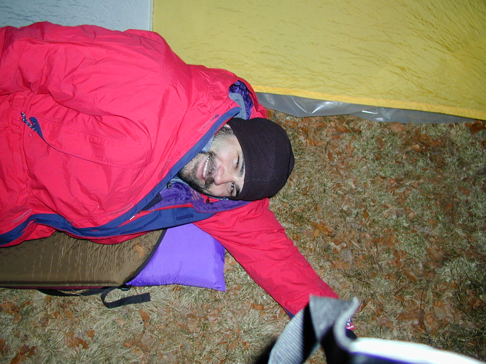
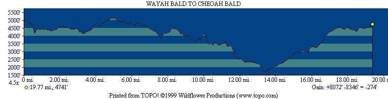
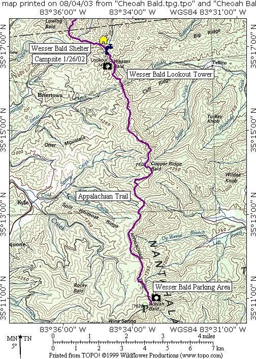
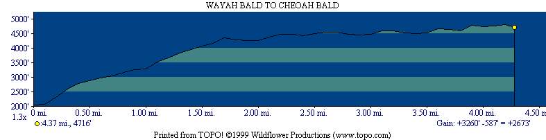
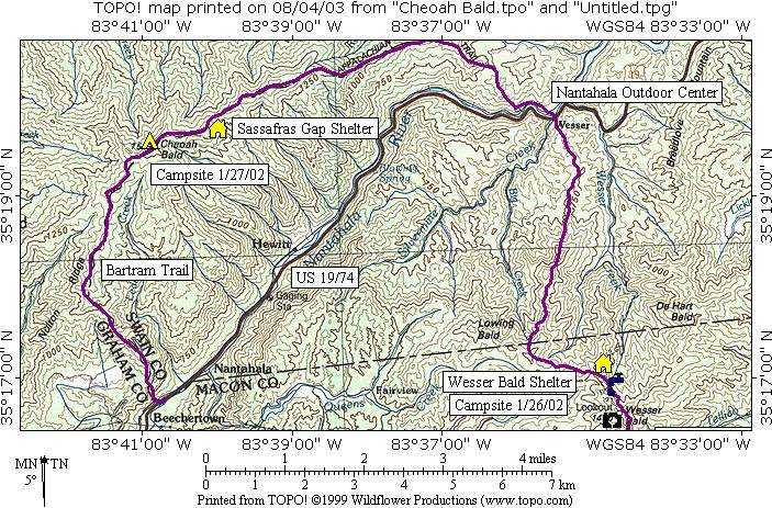
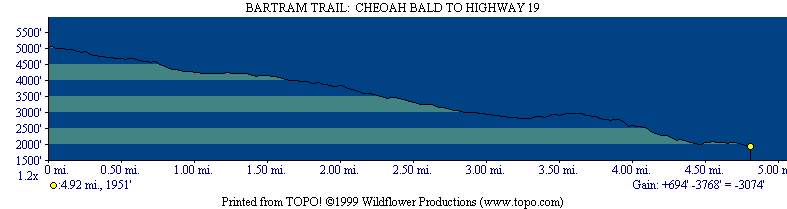
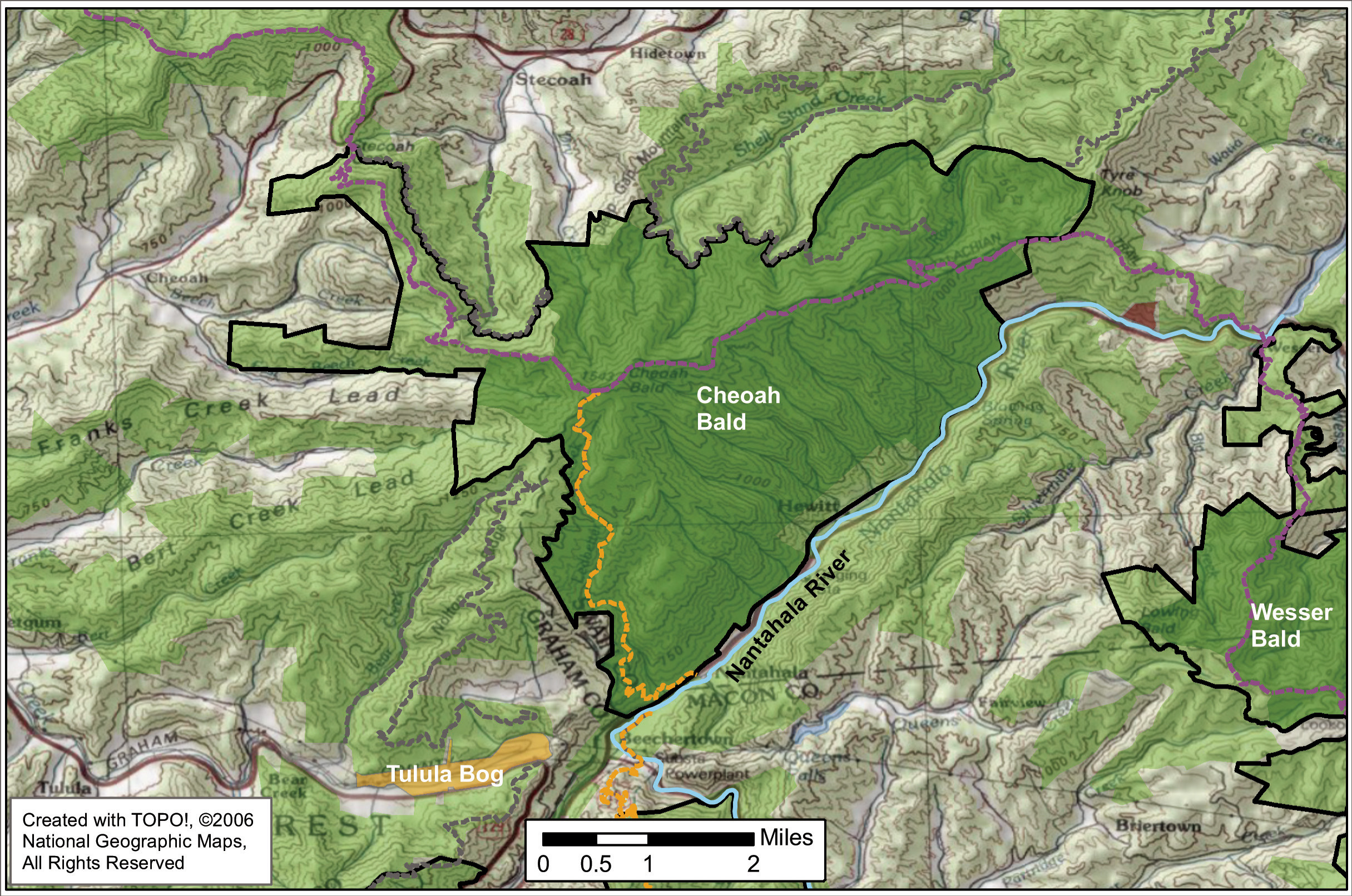
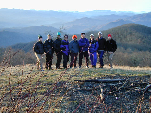
Cheoah Bald at 5062 feet is the northern terminus of the Bartram Trail and it shares the summit with the Appalachian Trail. The views from here are spectacular from a grassy meadow that looks south over the Nantahala Gorge and from a small clearing that looks north to the Smoky Mountains. We hiked a thirty mile route over Cheoah Bald that included ascents of Wayah and Wesser Balds. The route climbs over 3000 feet from the Nantahala Outdoor Center (N.O.C.) to Cheoah Bald and it is a long and challenging ascent. We finished this shuttle hike by descending Cheoah on the Bartram Trail for five miles to U.S. 19.
- click for a movie from this winter backpacking trip near Wesser, NC: January 26, 2002
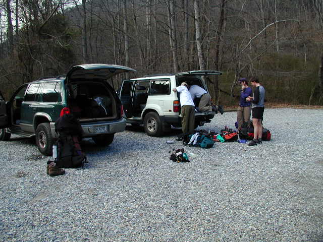
- click for more photos from this hike to Cheoah Bald: January 26, 2002
- click for a detailed trip report from this backpacking trip on the Appalachian Trail: January 26, 2002 (password required)
- click for a trip report from this hike near through the Nantahala Outdoor Center: January 26, 2002 (password required)
- click for the Nantahala and Cullasaja Gorges Trails Illustrated map for this area
- click for a topo map and profile map from Wayah Bald to Cheoah Bald (via the Appalachain Trail)
- click for a trail map from the NOC to Brown Fork Gap Shelter (via the Appalachain Trail) (password required)
- click for a profile map from the NOC to Stecoah Gap (via the Appalachain Trail (password required)
- click for a topo map and profile map from Cheoah Bald to Highway 19 (via the Bartram Trail)
- click for a drone video from the Bartram Trail at Cheoah Bald in October 2020
- click for a recap of our annual cold weather Klondike Hikes which began in the early 90’s
- click for a trail map of the Appalachian Trail in Georgia, North Carolina, and Tennessee (password required)
- click for more information on the Appalachian Trail
- click for Appalachian Trail hiking and backpacking books
- click for the guidebook Appalachian Trail: Georgia-North Carolina which has details on this area