Cable Gap
Nantahala National Forest
Wayah Ranger District
Franklin, NC 28734
828-524-6441

The Nantahala National Forest is the largest of the four national forests in North Carolina and is the the second wettest region in the country – after the Pacific Northwest. The word “Nantahala” is a Cherokee word meaning “Land of the Noonday Sun.” In some spots, the sun only reaches the floors of the deep gorges in the middle of the day. The National Forest has 531,270 acres with elevation ranging from 5,800 feet at Lone Bald in Jackson County to 1,200 feet in Cherokee County along the Hiwassee River.
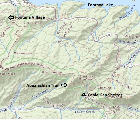
The Appalachian Trail descends into Cable Gap from Yellow Creek Gap (2,980 feet) and climbs over High Top (3,786 feet), the highest point in the Yellow Creek Range. The route eventually makes its way to Fontana Village and the Fontana Dam, a 200 feet high structure that backs up the Little Tennessee River for six miles. The village is named after the nearby dam, which is the tallest dam in the Eastern United States, standing at 480 feet. The dam was constructed during World War II to provide electricity for the war effort and remains an engineering marvel. Visitors can take guided tours and learn about the dam’s history and impact on the region.
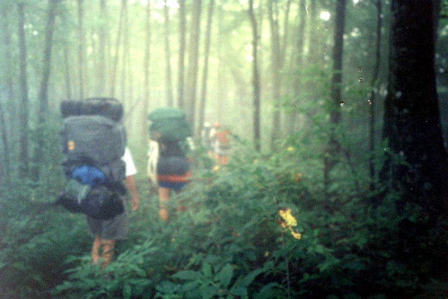
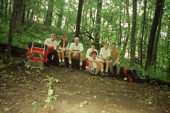
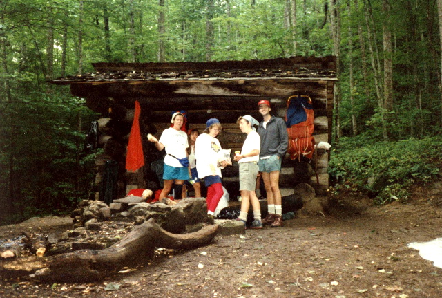
- click for more photos from this hike to Cable Gap Shelter: August 22, 1992
- click for a Daytimer report from this backpacking trip on the Appalachian Trail: August 22, 1992 (password required)
- click to purchase the Nantahala and Cullasaja Gorges Trails Illustrated map for this area
- click for a topo map from Brown Fork Gap Shelter to Fontana Dam (password required)
- click for a profile map of this hike from Cable Gap Shelter to Fontana Dam (password required)
- click for a trail map from this backpacking trip to Cable Gap Shelter
- click for a trail map of the Appalachian Trail in Georgia, North Carolina, and Tennessee (password required)
- click for more information on the Appalachian Trail
- click for Appalachian Trail hiking and backpacking books
- click to access the guidebook Appalachian Trail: Georgia-North Carolina for more hikes here
- click for other North Carolina hiking and backpacking books