Cowrock Mountain #2
Chattahoochee-Oconee National Forests
1755 Cleveland Highway
Gainesville, GA 30501
770 297-3000

The Chattahoochee National Forest is one of two National Forests in the State of Georgia and encompasses nearly 750,000 acres of mountainous terrain, forests, rivers, streams, and wilderness areas throughout North Georgia. The forest takes its name from the Chattahoochee River, whose headwaters originate high in the North Georgia mountains before flowing south toward Atlanta and eventually joining the Apalachicola River in Florida. The name Chattahoochee is derived from a Native American word commonly interpreted as meaning “painted rocks,” a reference to the colorful rock formations found along portions of the river. The river and surrounding region were named by English settlers who adopted the name from the Native Americans who originally inhabited the area. The history of the Chattahoochee National Forest dates back to 1911, when the U.S. Forest Service purchased approximately 31,000 acres of land in Fannin, Gilmer, Lumpkin, and Union Counties from the Gennett family for $7.00 per acre. Initially, this land was administered as part of the Nantahala and Cherokee National Forests in North Carolina and Tennessee. Through subsequent land acquisitions and conservation efforts, the forest gradually expanded into the extensive public wilderness that exists today, providing important protection for the region’s watersheds, wildlife habitats, and mountain ecosystems while offering visitors opportunities for hiking, camping, fishing, and other outdoor recreation.
The hike to Cowrock Mountain is an out-and-back trail that makes for an excellent day hike, although its scenic overlooks and nearby primitive campsites also make it suitable for an easy overnight backpacking trip. The route begins along the Richard Russell Scenic Highway in the Chattahoochee National Forest at Tesnatee Gap and follows a steadily climbing trail through the surrounding mountain forest. Along the way, hikers gain approximately 800 feet in elevation before reaching a series of rocky outcroppings that provide impressive panoramic views of the surrounding North Georgia mountains. The exposed rock formations offer particularly beautiful views toward the east and south, making them attractive places to stop, enjoy the scenery, and take photographs. Several primitive campsites are located near the overlooks, providing opportunities for backpackers to spend the night while enjoying the quiet mountain surroundings and expansive views. These campsites are relatively undeveloped and do not have available water, so overnight hikers should plan accordingly and carry everything needed for their stay.
- click for more photos from this backpacking trip to Cowrock Mountain: October 16, 2021 (password required),
- click for a trip report of this hike on the Appalachian Trail: October 16, 2021 (password required)
- click for a Trails Illustrated map for this hike in the Chattahoochee National Forest
- click for a trail map with campsites around Cowrock Mountain (password required)
- click for an ATC trail map from Jarrard Gap to Hog Pen Gap on the Appalachian Trail
- click for an ATC trail map from Wolf Laurel Top to Chattahoochee Gap (password required)
- click for an ATC profile map from Wolf Laurel Top to Unicoi Gap (password required)
- click for a Georgia Appalachian Trail overview map (password required)
- click for a Georgia Appalachian Trail profile map (password required)
- click for hikes to Cowrock #1, Cowrock #2, and Cowrock #3
- click for more hikes in this area near Hogpen Gap in October 2009, October 2011, October 2017
- click for a hike to the nearby Wolf Laurel Top on the Appalachian Trail
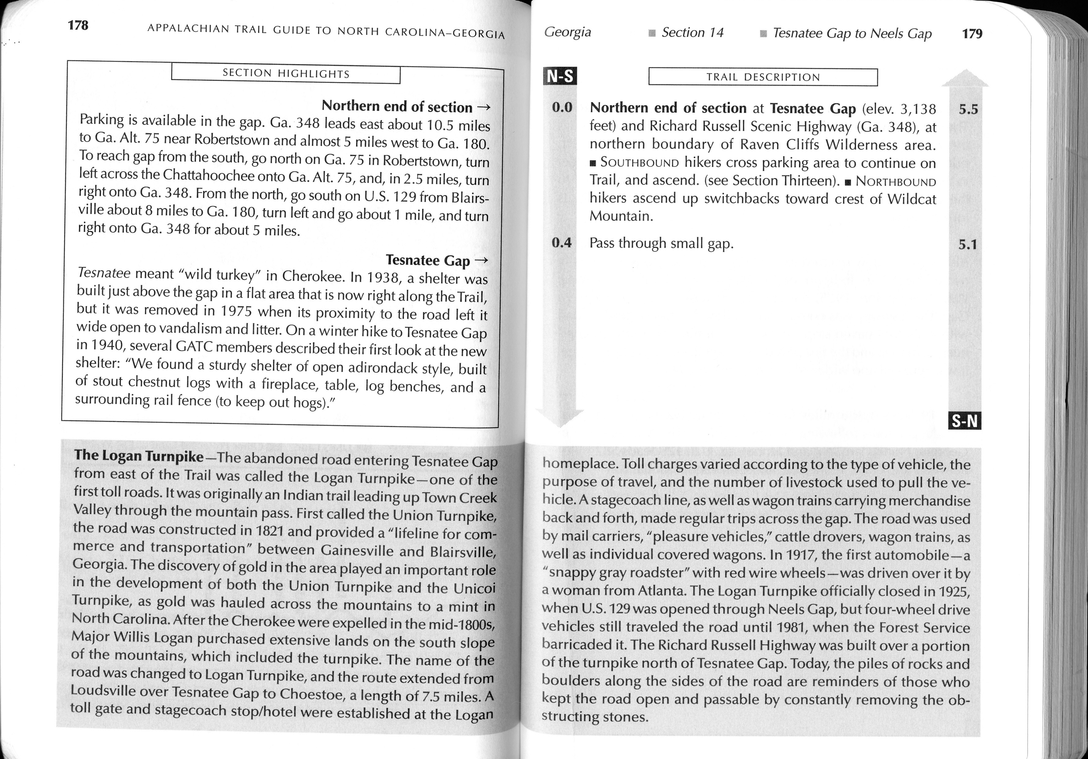
- click for guidebook info on this hike with a section preview and mile 0.0 to 0.4, plus mile 0.4 to 4.4 (password required)
- click for more information on the Appalachian Trail
- click for Appalachian Trail hiking and backpacking books
- click for the guidebook Appalachian Trail: Georgia-North Carolina which has details on this destination