Justus Creek
Chattahoochee-Oconee National Forests
1755 Cleveland Highway
Gainesville, GA 30501
770 297-3000

The Chattahoochee National Forest is one of two National Forests in the State of Georgia, and it takes its name from the Chattahoochee River whose headwaters begin in the North Georgia mountains. The River and the area were given the name by the English settlers who heard it from the Indians that once lived here. The Chattahoochee National Forest was created when the Forest Service purchased 31,000 acres in Fannin, Gilmer, Lumpkin and Union Counties from the Gennett family in 1911 for $7.00 per acre. In the beginning, the Chattahoochee was part of the Nantahala and Cherokee National Forests in North Carolina and Tennessee, but eventually the Forest Service made additional land purchases and expanded the Chattahoochee to its current size of nearly 750,000 acres.
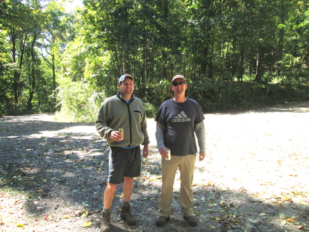
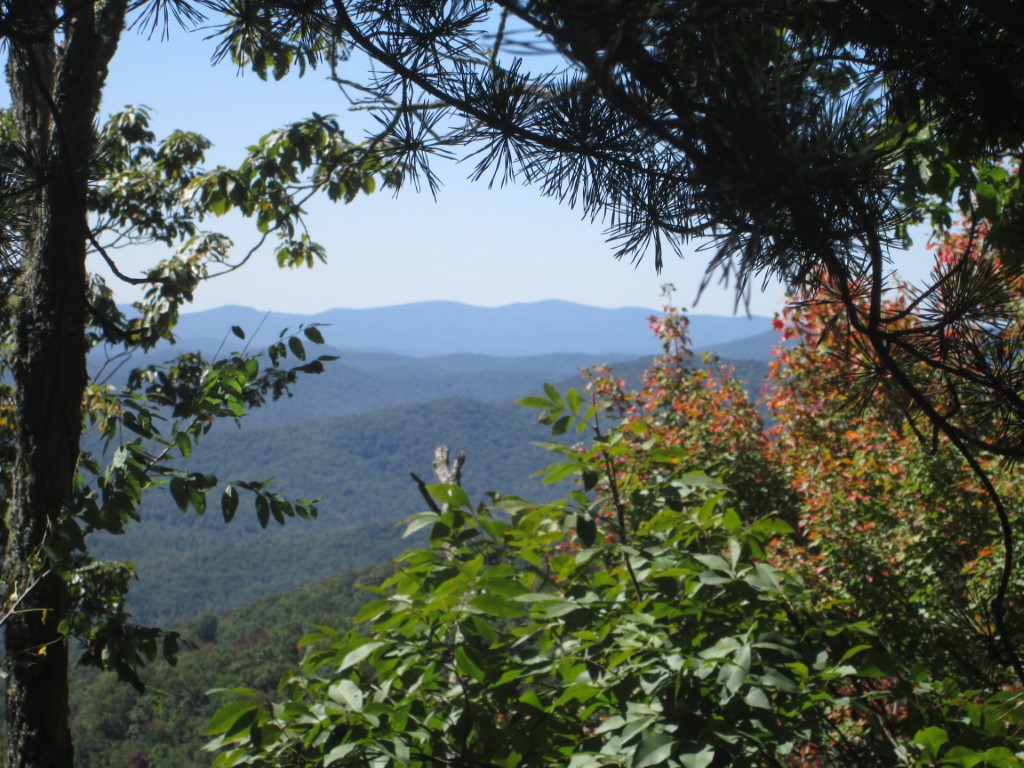
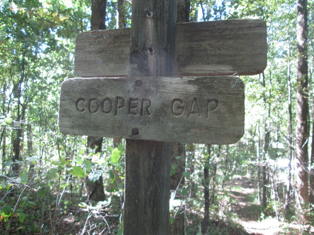
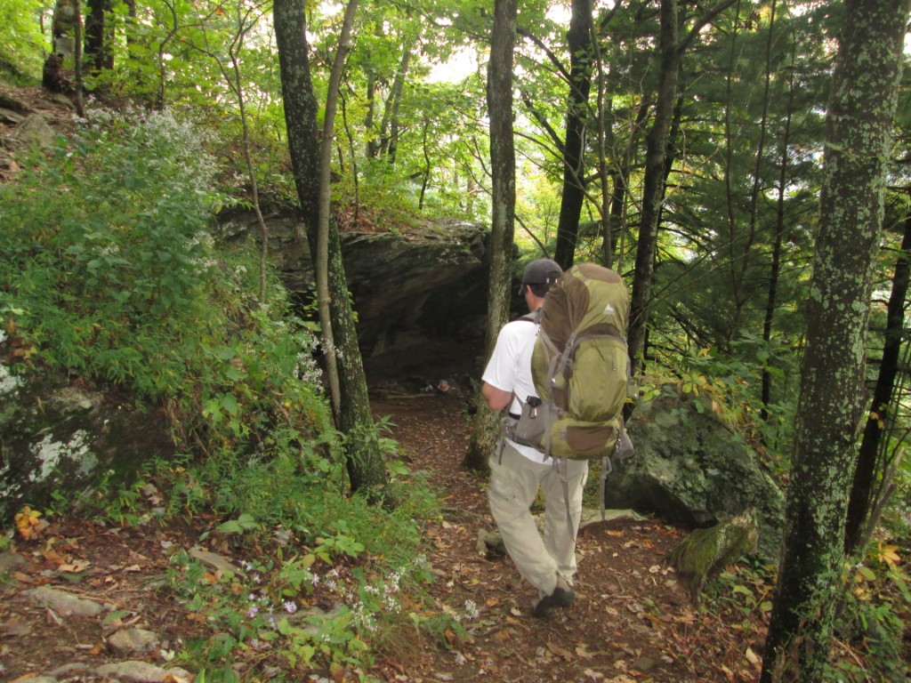
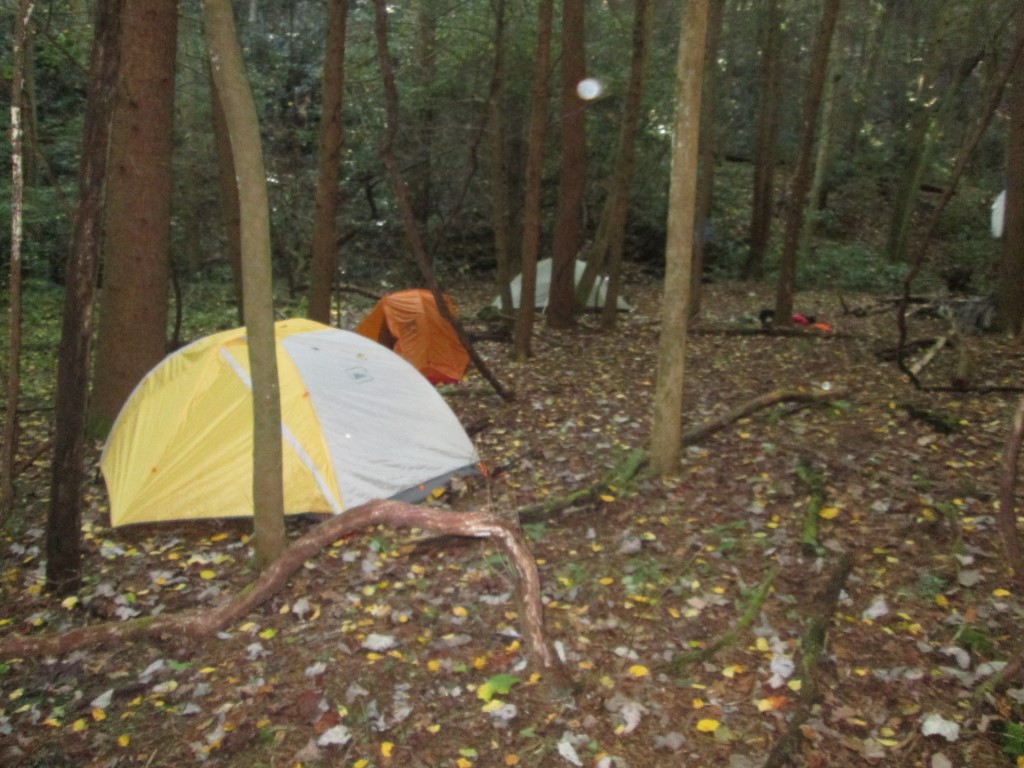
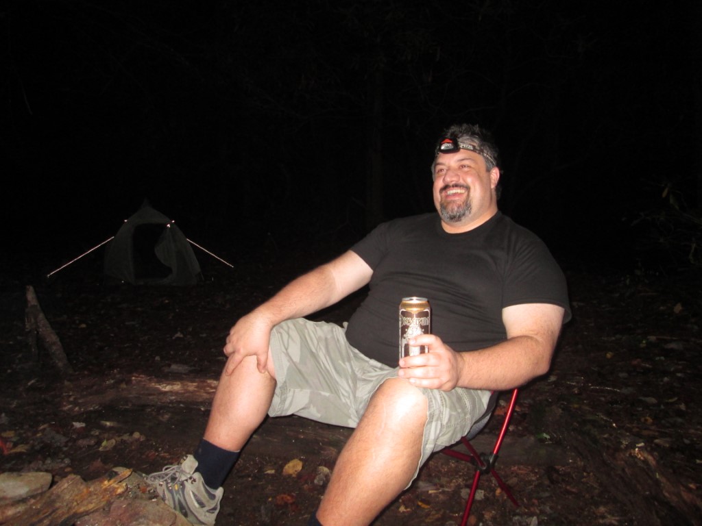
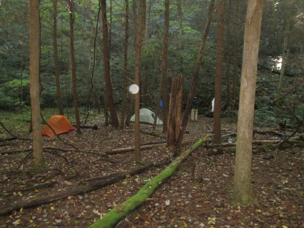
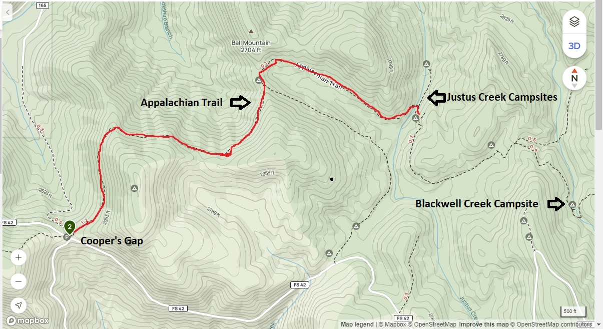
This short hike on the Appalachian Trail is located in the Chattahoochee National Forest at Cooper’s Gap in north Georgia. It begins at USFS 42 and climbs over Justus Mountain (3212 feet), drops briefly on the A.T., then climbs again to Ball Mountain (2704 feet). From here, it’s a short decent down to Justus Creek and a campsite bearing the same name with a few areas for tents. The area is heavily wooded and the water source is the creek. There are no formal shelters at this site, but it has tent pads above the creek. The Georgia Appalachian Trail Club (GATC) designates Justus Creek as one of the three designated camping spots (along with Hawk Mountain and Blood Mountain) in the Georgia A.T. corridor.
- click for a podcast that was recorded in the backcountry at Justus Creek
- click for more photos from this hike to Justus Creek on the Appalachian Trail: October 4, 2014
- click for a trip report from this backpacking trip near Cooper Gap: October 4, 2014 (password required)
- click for a Trails Illustrated map of this area around Gooch Gap
- click for a topographical map of campsites at Justus and Blackwell Creek
- click for a trail map of the Blackwell Creek and Gooch Gap area (password required)
- click for an ATC trail map from Three Forks to Woody Gap (password required)
- click for an ATC profile map from Sassafrass Mountain to Woody Gap (password required)
- click for a Georgia Appalachian Trail overview map (password required)
- click for a Georgia Appalachian Trail profile map (password required)
- click for a backpacking trip at the nearby Blackwell Cree in March 2011
- click for more information on the Appalachian Trail
- click for Appalachian Trail hiking and backpacking books
- click to access the guidebook Appalachian Trail: Georgia-North Carolina which has details on this destination
- click for other Georgia hiking and backpacking books