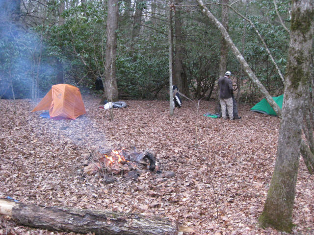
Blackwell Creek
Chattahoochee-Oconee National Forests
1755 Cleveland Highway
Gainesville, GA 30501
770 297-3000
The Chattahoochee National Forest is one of two National Forests in the State of Georgia, and it takes its name from the Chattahoochee River whose headwaters begin in the North Georgia mountains. The River and the area were given the name by the English settlers who heard it from the Indians that once lived here. The Chattahoochee National Forest was created when the Forest Service purchased 31,000 acres in Fannin, Gilmer, Lumpkin and Union Counties from the Gennett family in 1911 for $7.00 per acre. In the beginning, the Chattahoochee was part of the Nantahala and Cherokee National Forests in North Carolina and Tennessee, but eventually the Forest Service made additional land purchases and expanded the Chattahoochee to its current size of nearly 750,000 acres.
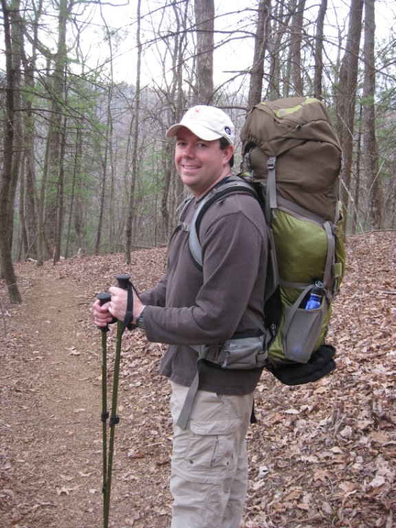
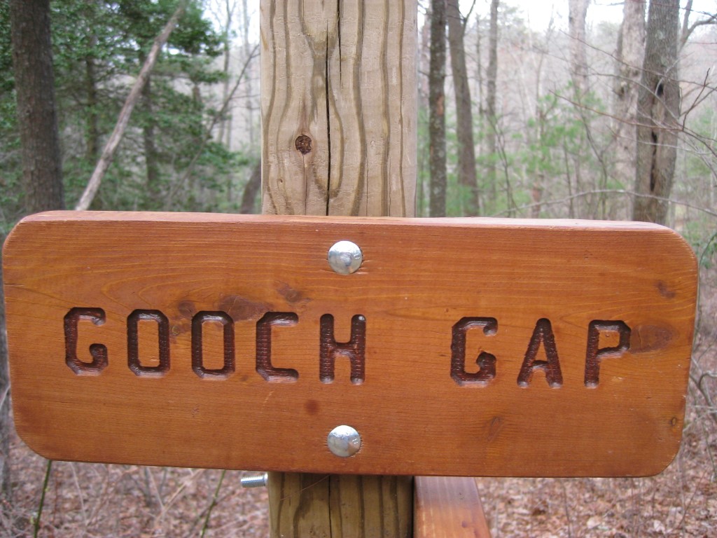
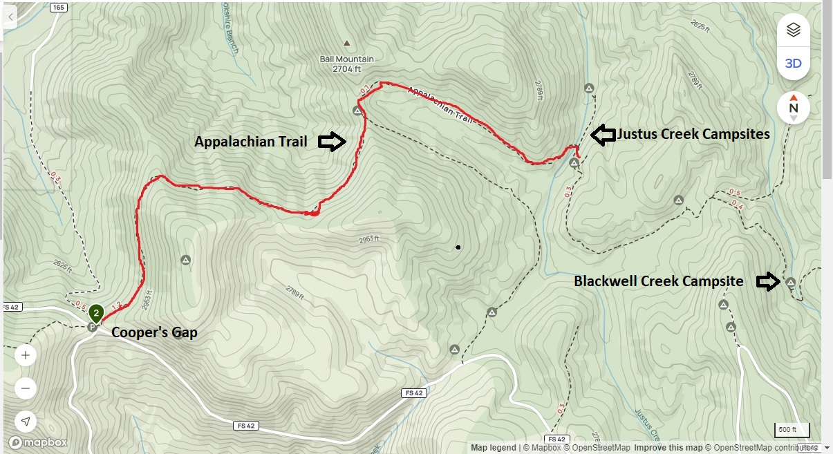
This hike to Blackwell Creek starts at Gooch Gap (US Forest Road 42) in the Chattahoochee National Forest and climbs out of the gap heading southbound toward the Gooch Gap Shelter. After a two hundred foot ascent, the Appalachian Trail gradually drops down past the shelter and to Blackwell Creek (2600 feet). Before you cross the stream, there is an overgrown trail to the left (which may have been the old A.T.) that leads to a campsite on the stream. It is most easily found in the winter or spring, otherwise it is recommended that you camp at the shelter.
- click for more photos from this hike to Blackwell Creek: March 25, 2011
- click for a trip report from this backpacking trip near the Gooch Gap Shelter: March 25, 2011 (password required)
- click for a Trails Illustrated map of this area around Gooch Gap
- click for a topographical map of campsites at Justus and Blackwell Creek
- click for a trail map of the Blackwell Creek and Gooch Gap area (password required)
- click for an ATC trail map from Three Forks to Woody Gap (password required)
- click for an ATC profile map from Sassafrass Mountain to Woody Gap (password required)
- click for a Georgia Appalachian Trail overview map (password required)
- click for a Georgia Appalachian Trail profile map (password required)
- click for a backpacking trip to the nearby Justus Creek in October 2014
- click for more information on the Appalachian Trail
- click for Appalachian Trail hiking and backpacking books
- click to purchase the guidebook Appalachian Trail: Georgia-North Carolina
- click for other Georgia hiking and backpacking books