Coleman River
Chattahoochee-Oconee National Forests
1755 Cleveland Highway
Gainesville, GA 30501
770 297-3000
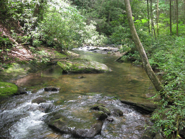
The Coleman River Scenic Area is located in Rabun County within the Tallulah Ranger District of the Chattahoochee National Forest in far northeastern Georgia, near the rugged mountain terrain of the Southern Appalachians. This small but ecologically significant protected area encompasses approximately 330 acres where the Coleman River flows into the larger Tallulah River, creating a lush and biologically rich river corridor. Designated in 1960, the scenic area was dedicated in honor of “Ranger Nick” Nicholson, recognizing his four decades of dedicated service to forest conservation and management in the region. The landscape here reflects the character of the surrounding Blue Ridge Mountains, with steep forested slopes, moss-covered boulders, and clear, cold mountain water shaping a narrow valley that remains largely undeveloped. Because of its elevation—approximately 2,200 feet at the confluence—the area experiences cool temperatures even in summer, and the dense canopy of hardwoods and hemlocks helps maintain a shaded, moist environment ideal for trout habitat and rich plant diversity. The combination of scenic beauty, ecological value, and historical recognition makes the Coleman River Scenic Area a quiet but meaningful destination within the broader Chattahoochee National Forest.
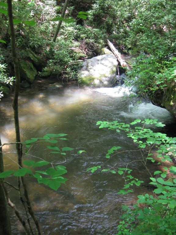
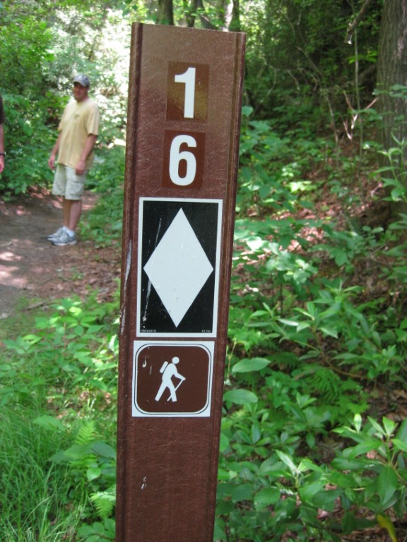
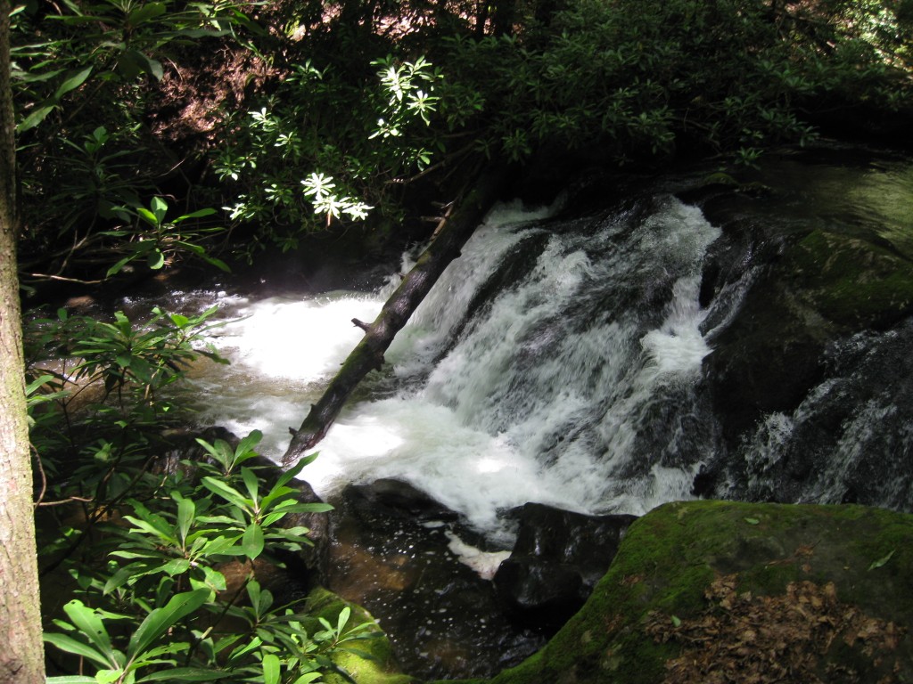
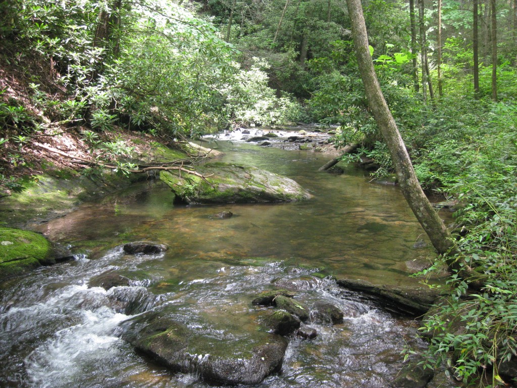
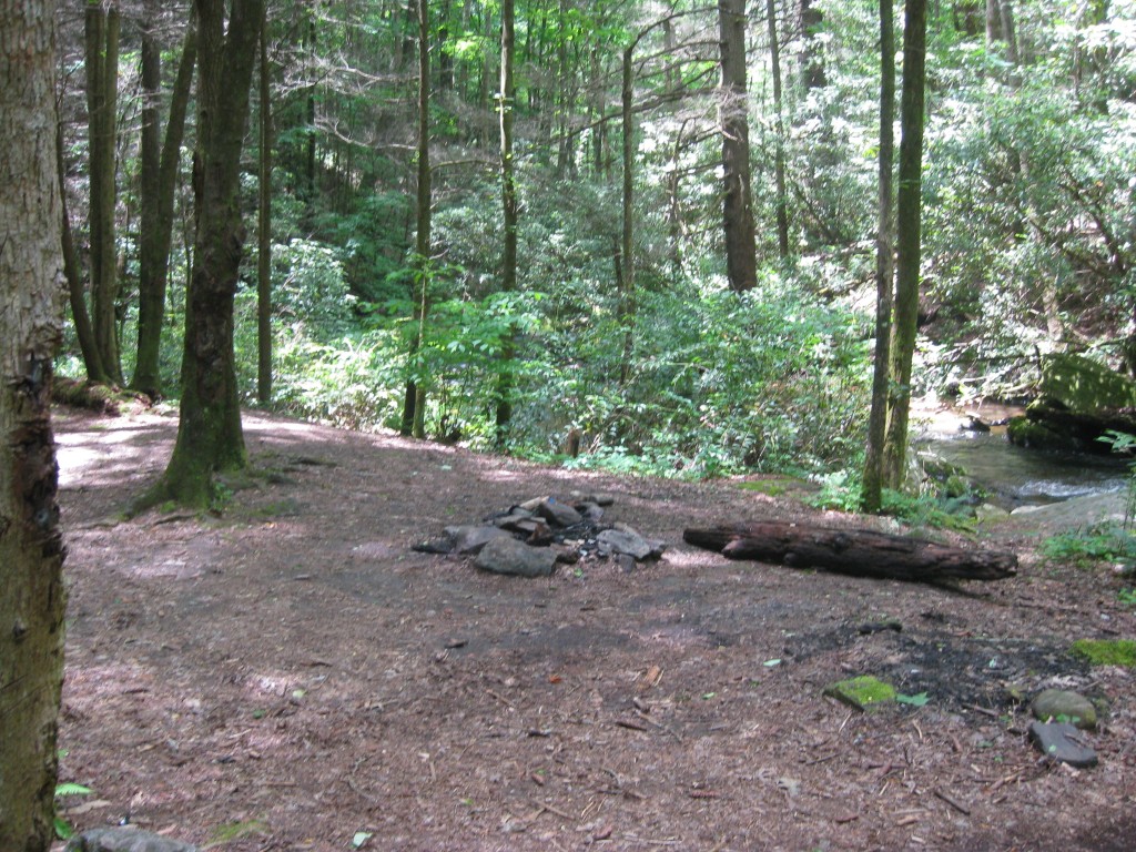
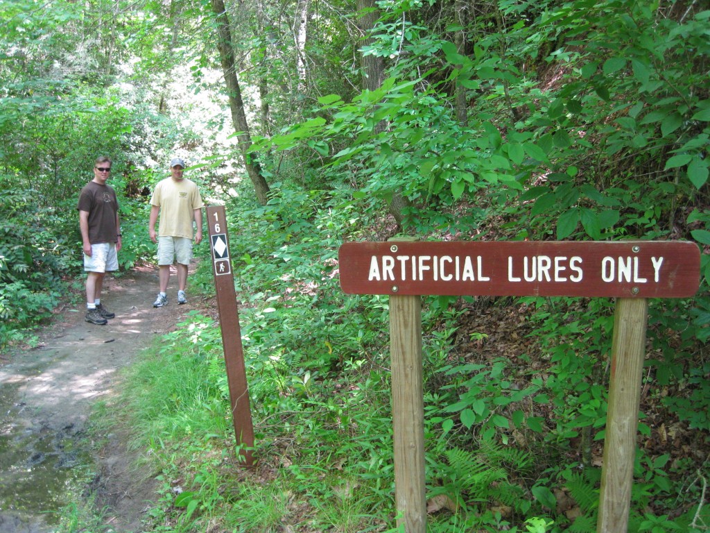
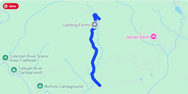
This hike along the Coleman River begins at a small parking area near the confluence of the Coleman and Tallulah Rivers, where a short bridge crosses the clear, fast-moving stream. The trailhead is marked by a white triangle blaze and the number 16, with limited parking available directly beside the road for two small vehicles; larger parking can be found by continuing roughly 100 yards past the trail junction to a more spacious pull-off. From the start, the Coleman River Trail follows a gentle upstream ascent alongside the river, which in many places resembles a broad mountain creek rather than a traditional river due to its narrow channel and swift flow over rocky beds. The trail remains close to the water for much of its length, offering frequent views of shallow pools, small cascades, and polished bedrock where the current has carved smooth channels over time. After approximately one mile, hikers pass through stands of mature and sometimes old-growth hardwood forest interspersed with rhododendron thickets that create dense, tunnel-like sections of trail. The route eventually ends somewhat abruptly around 0.9 miles in a thick rhododendron stand, a natural terminus that feels both secluded and enclosed by vegetation. Near this endpoint, a small primitive campsite sits beside a clear pool suitable for wading or seasonal swimming, while another slightly larger riverside campsite can be found about half a mile from the trailhead, offering a more open and accessible place to rest along the water. Anglers visiting the Coleman River should be aware that fishing regulations require the use of artificial lures only, a restriction intended to help preserve the wild trout fishery and maintain the health of this delicate mountain ecosystem.
- click for more photos from this hike along the Coleman River: June 13, 2009 (password required)
- click for a trip report from our hike near Lake Burton: June 13, 2009 (password required)
- click for a Trails Illustrated map of the Chattahoochee National Forest
- click for a topo and profile map of this hike on the Coleman River Trail (password required)
- click for a trail map of this hike in the Chattahoochee National Forest
- click for another hike we did this weekend in Tallulah Falls State Park
- click for nearby hike to the fire tower at Glassy Mountain in October 2017
- click for the guidebook Best Hikes With Dogs Georgia And South Carolina for more hikes in this area
- click for more hikes in the State of Georgia