Tumbling Waters Nature Trail
US Army Corps of Engineers
P. O. Box 96
Oakman, GA 30732-0096
(706) 334-2248

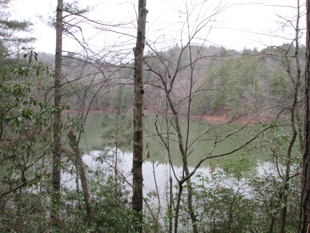
Carters Lake is a 3,200 acre reservoir located in Northwestern Georgia that is owned and managed by the U.S. Corps of Engineers. The lake is fed by the Coosawattee River and it is the deepest reservoir in the State at 450 feet. The dam that holds back the river, Carters Dam, was built in 1977 and it is the tallest earthen dam east of the Mississippi.
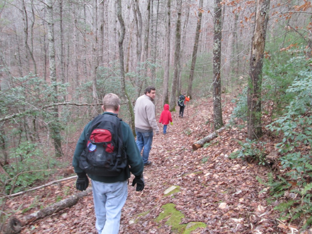
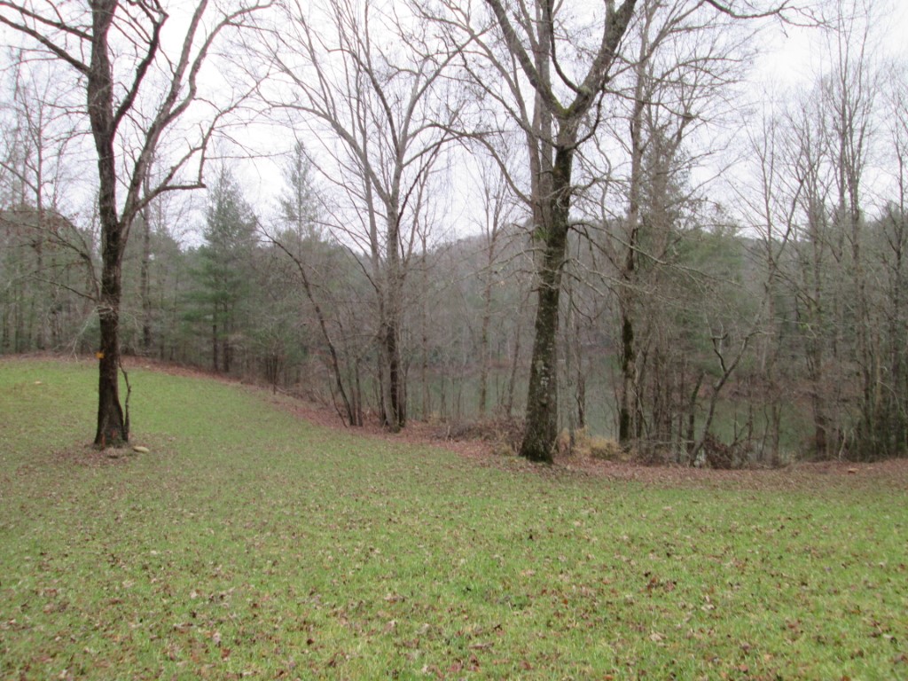
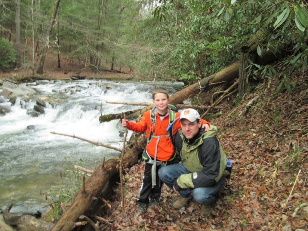
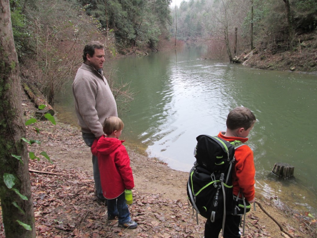
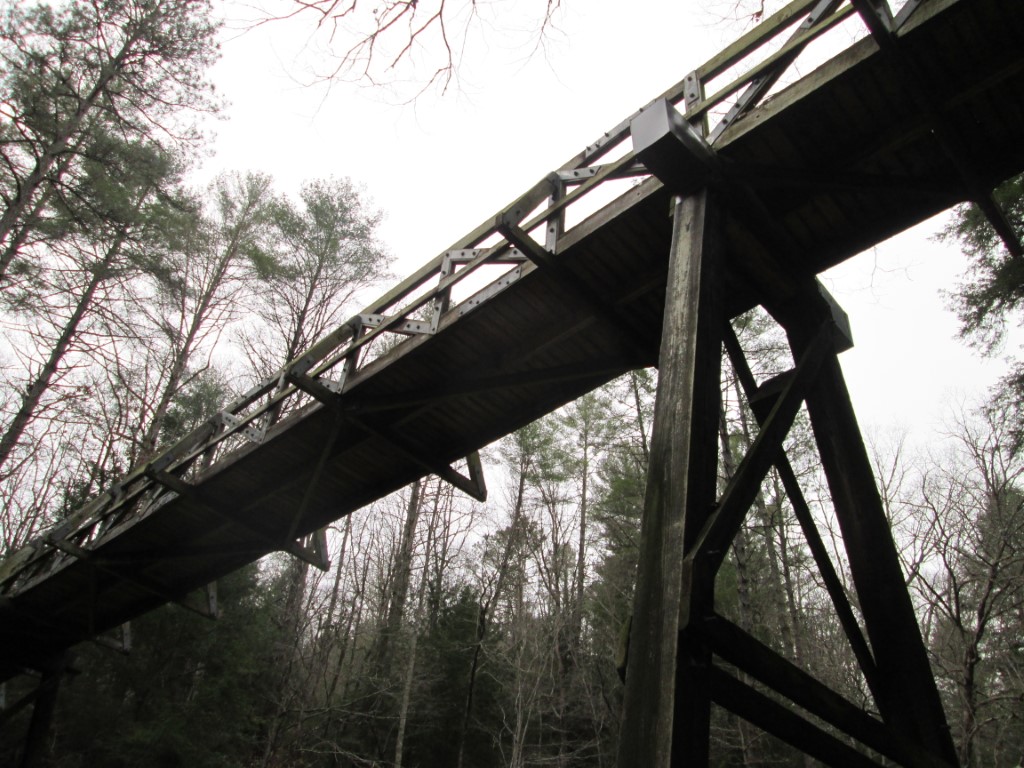
This hike on the Tumbling Waters Nature Trail starts at the boat ramp at Ridgeway Park and follows a trail along the northeastern edge of Carter’s Lake to a 150 foot bridge over Tails Creek. Here you can either cross the bridge and explore the northwestern side of the lake or continue for a few tenths of a mile to a platform that has outstanding views of Tails Creek. This is a short hike and it is great for children or those that are looking for an easy walk in to the wilderness. Swing through the wildlife clearing on the return trip for winter views of the lake.
- click for the bridge over Tails Creek, underneath the bridge, and the platform above Tails Creek (password required)
- click for an evening campfire with marshmellows and that champagne looks suspect (password required)
- click to see photos from this hike at Carters Lake: December 30, 2013 (password required)
- click to view a trip report from this walk on the Tumbling Waters Nature Trail: December 30, 2013 (password required)
- click for a map of North Georgia and Carter’s Lake
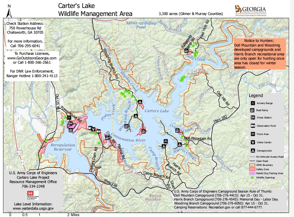
- click for a map of the Carter’s Lake Wilderness Management Area (password protected)
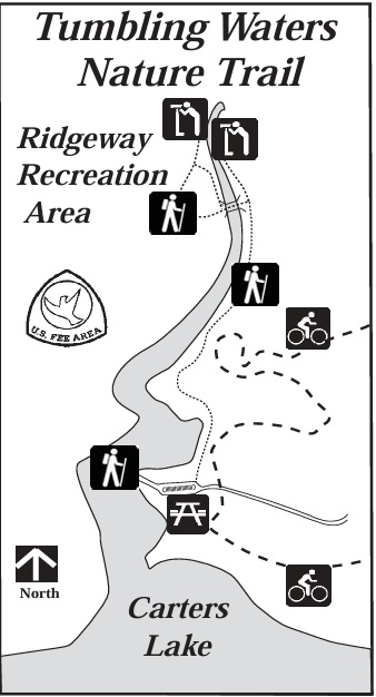
- click to view a trail map of the Tumbling Waters Trail which is managed by the U.S. Army Corps of Engineers
- click for a map of more hikes around Carters Lake (password protected)
- click for another hike that we did in this area in December 2016
- click for more New Years hikes that we did between 2004-2020 (password protected)
- click to access the guidebook Hiking Georgia which has details on this destination
- click for other Georgia hiking and backpacking books