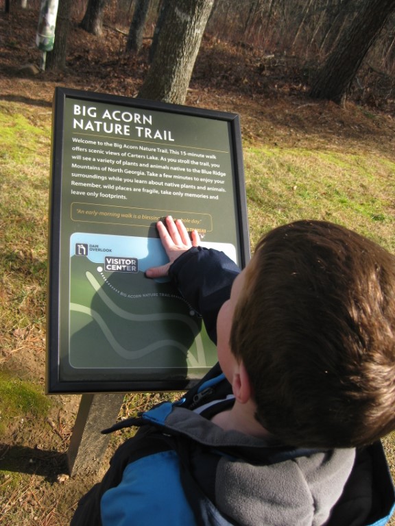
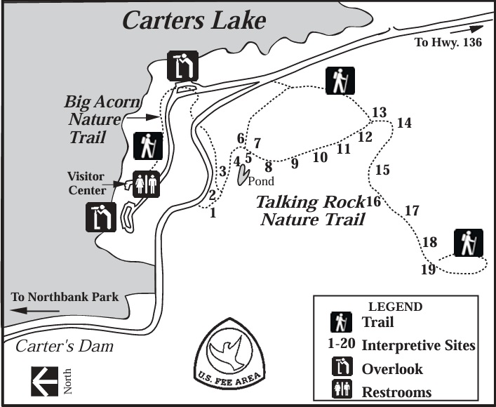
Big Acorn Trail
US Army Corps of Engineers
P. O. Box 96
Oakman, GA 30732-0096
(706) 334-2248

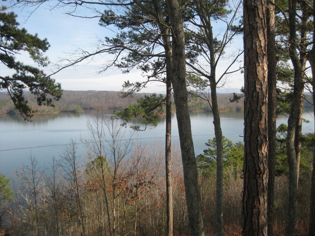
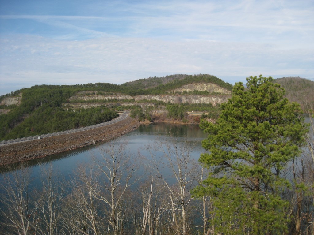
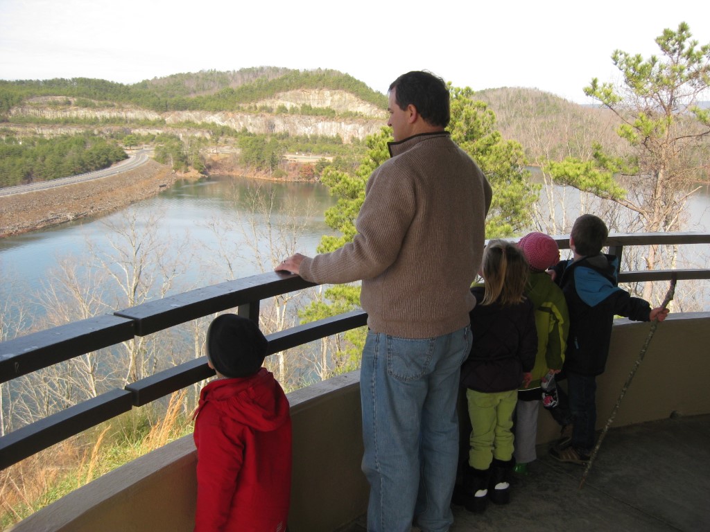
Carters Lake is a 3,200 acre reservoir located in Northwestern Georgia that is owned and managed by the U.S. Corps of Engineers. The lake is fed by the Coosawattee River and it is the deepest reservoir in the State at 450 feet. The dam that holds back the river, Carters Dam, was built in 1977 and it is the tallest earthen dam east of the Mississippi.
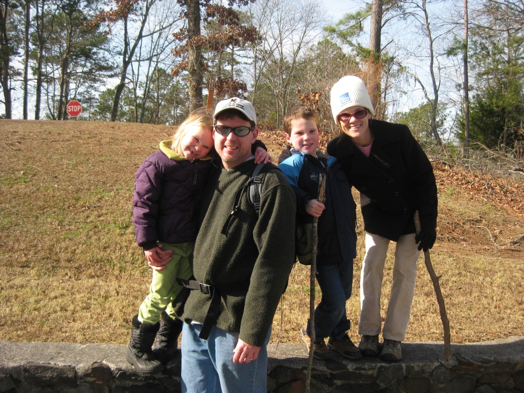
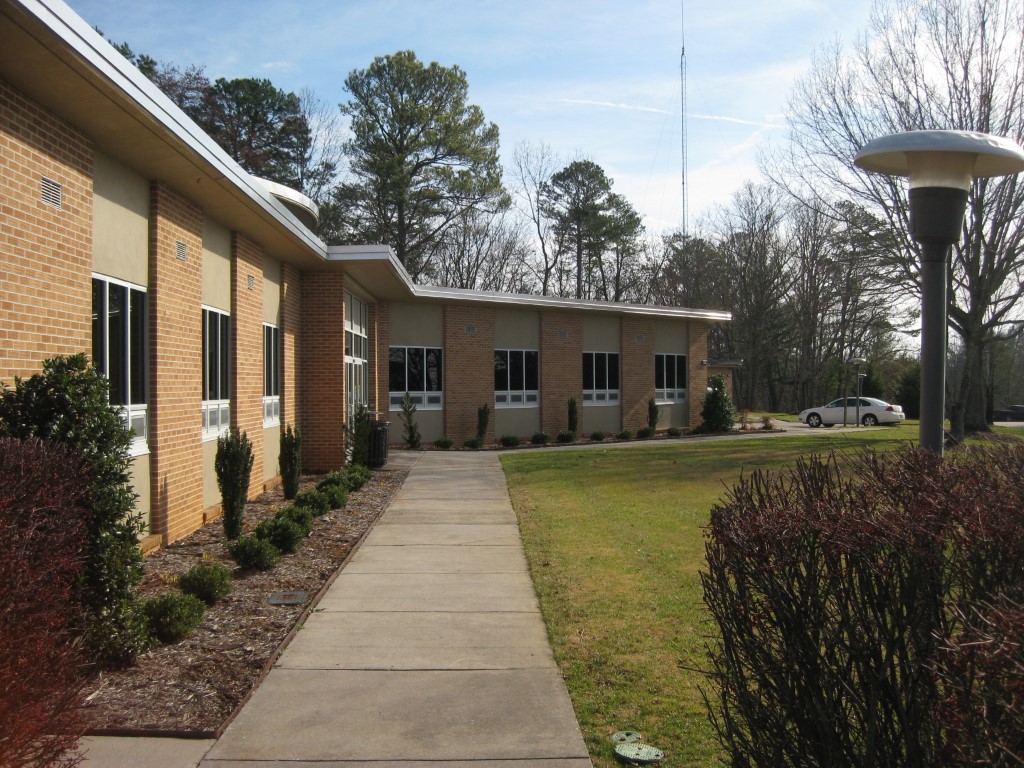
This hike on the Big Acorn Nature Trail starts behind the visitors center and is the shortest hike at Carters Lake totaling 0.6 miles round trip. It winds gently uphill through a hardwood forest and around a cove in the lake, then climbs to the Carters Lake Overlook and parking area. You can either backtrack to the visitors center on the Trail or follow the road – which has significantly less elevation change.
- click to see us taking the high road then enjoying a New Year’s Eve campfire (password required)
- click to see a photo journal from this hike at Carters Lake: December 31, 2012
- click to see photos from this hike on the Big Acorn Trail: December 31, 2012 (password required)
- click to view a trip report from this walk near the Carters Lake Visitors Center: December 31, 2012 (password required)
- click for a map of North Georgia and Carter’s Lake
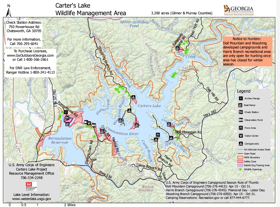
- click for a map of the Carter’s Lake Wilderness Management Area (password protected)
- click for a terrain and profile map of this hike near Ellijay, GA (password protected)
- click to view a trail map of the Big Acorn Trail which is managed by the U.S. Army Corps of Engineers
- click for a map of more hikes around Carters Lake (password protected)
- click for another hike that we did in this area in December 2016
- click for more New Years hikes that we did between 2004-2020 (password protected)
- click to access the guidebook Hiking Georgia which has details on this destination
- click for other Georgia hiking and backpacking books