Benton MacKaye/Duncan Ridge Trails (Bryson Gap to Toccoa River)
Chattahoochee-Oconee National Forests
1755 Cleveland Highway
Gainesville, GA 30501
770 297-3000
The Benton MacKaye Trail (BMT) is a footpath of nearly 300 miles that traverses the Appalachian mountains of the southeastern United States. It is named in honor of Benton MacKaye whose was a forester, planner and conservationist whose vision resulted in the creation of the Appalachian Trail in the early 1900’s. The BMT is designed for foot travel in the tradition of the Appalachian Trail (A.T.) and runs from Springer Mountain in Georgia to Davenport Gap on the northern edge of the Great Smoky Mountains National Park. The Benton MacKaye Trail passes through some of the most remote backcountry in Georgia, Tennessee and North Carolina, including eight federally designated Wilderness and Wilderness Study Areas.
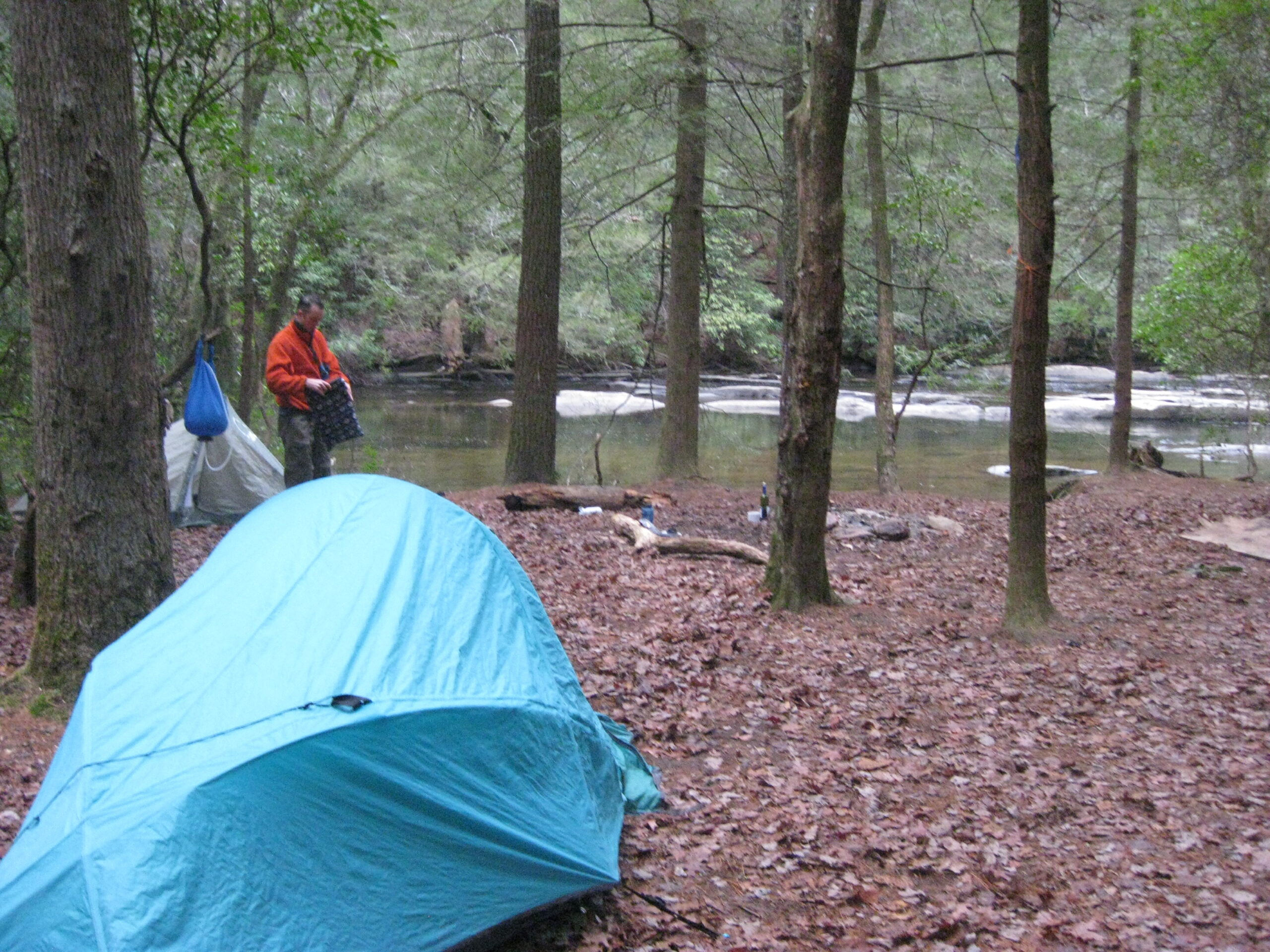
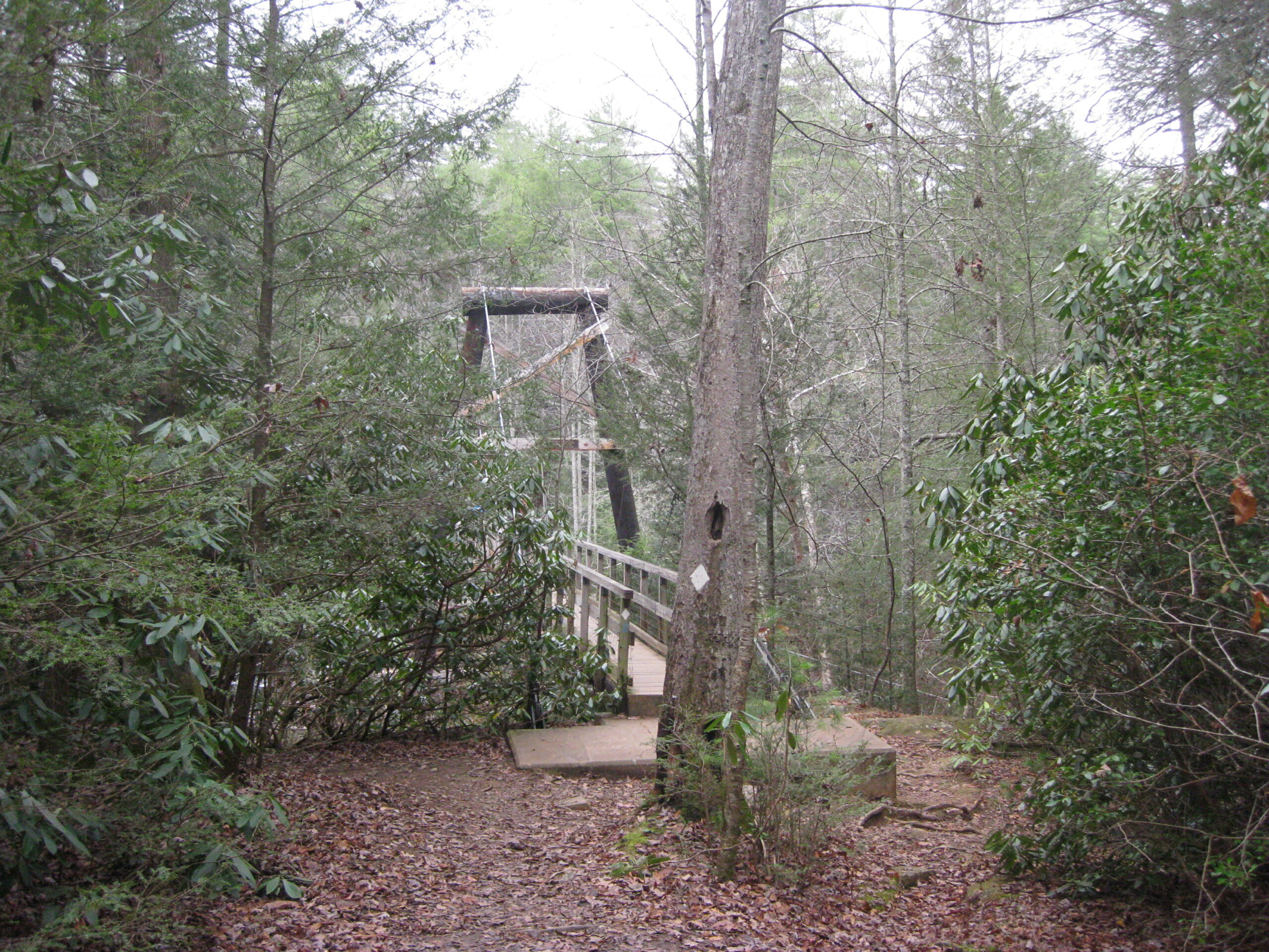
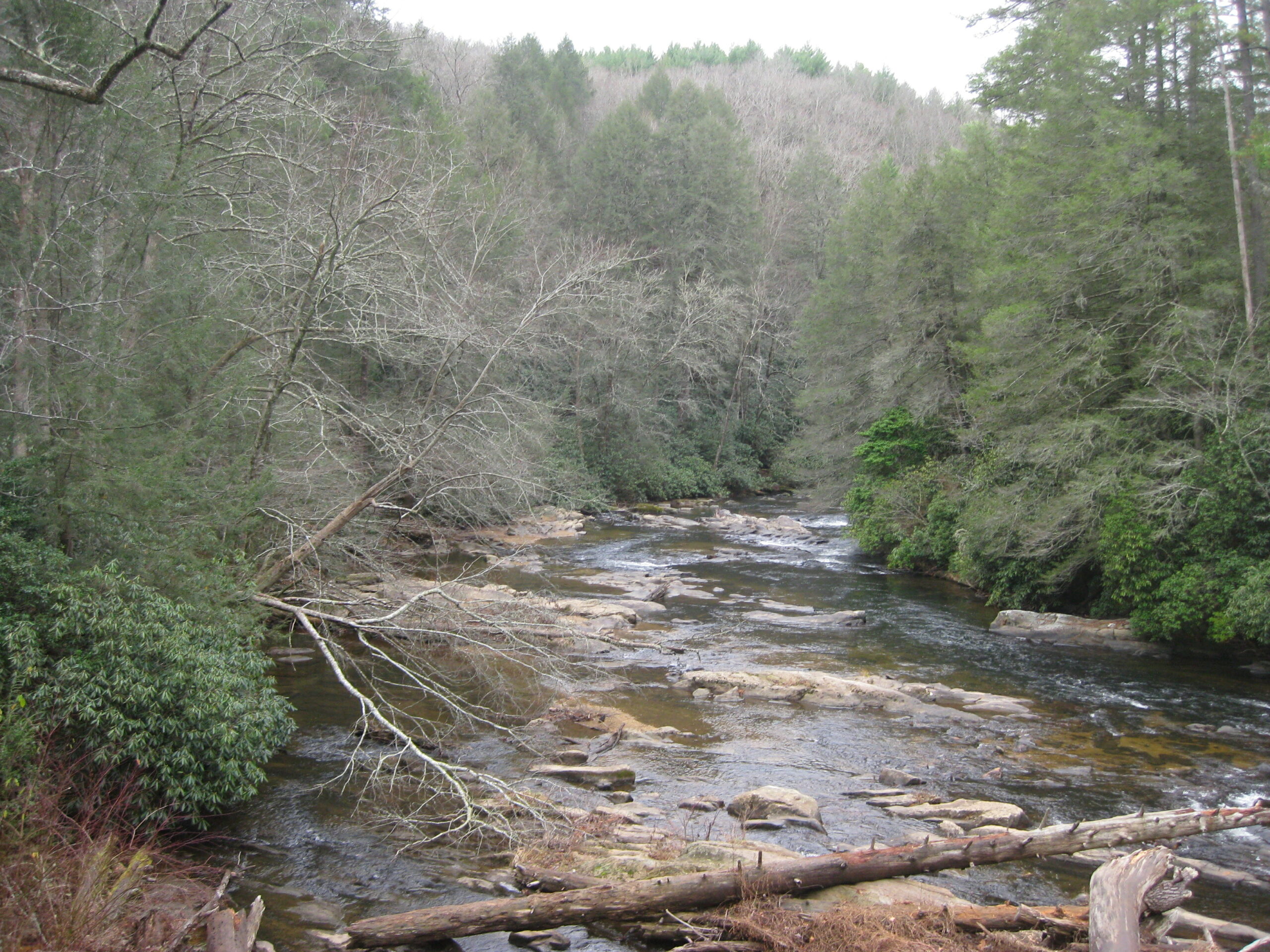
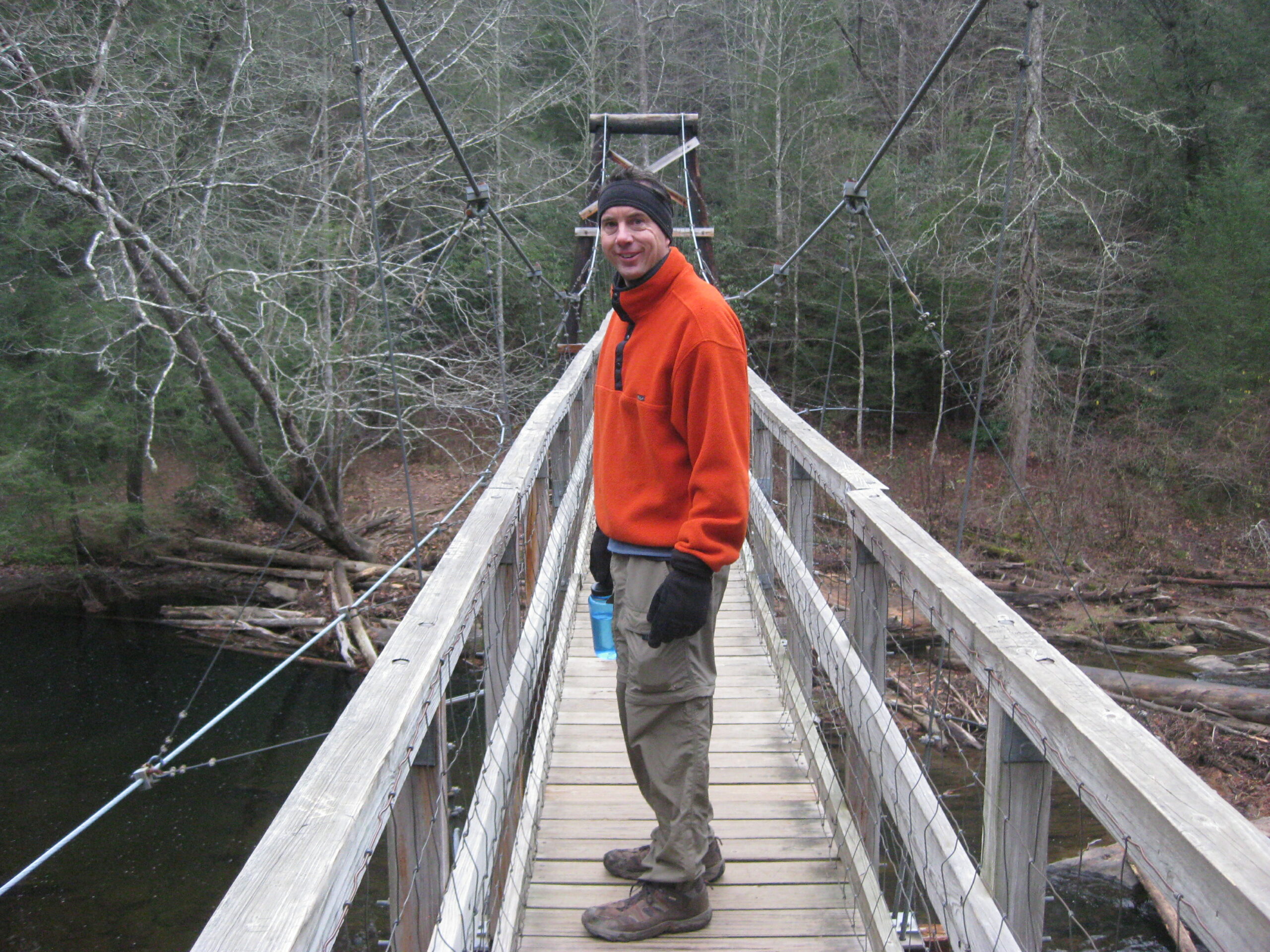
The hike from Bryson Gap to the Toccoa River is 2.7 miles and the Benton MacKaye Trail passes through Sapling Gap at 2770′ then across or near some forest service roads during the descent to the Toccoa River at 1920 feet. The is an impressive suspension bridge at the Toccoa River with a campsites on both sides of the bridge. On this hike we stopped camped at the Toccoa River and did a day hike (5.4 miles round-trip) to Bryson Gap and back. It was Thanksgiving weekend, and there were at least 40 day hikers at the suspension bridge in the hour leading up to sunset. So if you are looking for a more wilderness experience, consider camping at Bryson Gap which has a spring a few hundred yards from the trail.
- click for a lesson on how to impress the Camel, how to flatten a Thermarest, and on backpacking sleeping pillows (password required)
- click for a photo journal from this hike along the Benton MacKaye Trail: November 25, 2011
- click for a trip report from this backpacking trip to Bryson Gap: November 25, 2011 (password required)
- click for a Trails Illustrated map of this area in the Chattahoochee National Forest
- click to view a map of the entire Benton MacKaye Trail (password required)
- click for another map of the entire Benton MacKaye Trail (password required)
- click to for a topographical and profile map of section two of the BMT (password required)
- click for a BMTA profile map of section one of the Benton MacKaye Trail (password required)
- click to view trail descriptions for section two of this hike on the Benton MacKaye Trail (password required)
- click to see more of our hiking and backpacking trips to the Toccoa River
- click for more information on the Benton MacKaye Trail
- click for Benton MacKaye Trail hiking and backpacking books