Benton MacKaye Trail (Big Stamp Gap to Three Forks)
Chattahoochee-Oconee National Forests
1755 Cleveland Highway
Gainesville, GA 30501
770 297-3000

The Benton MacKaye Trail (BMT) is a footpath of nearly 300 miles that traverses the Appalachian mountains of the southeastern United States. It is named in honor of Benton MacKaye whose was a forester, planner and conservationist whose vision resulted in the creation of the Appalachian Trail in the early 1900’s. The BMT is designed for foot travel in the tradition of the Appalachian Trail (A.T.) and runs from Springer Mountain in Georgia to Davenport Gap on the northern edge of the Great Smoky Mountains National Park. The Benton MacKaye Trail passes through some of the most remote backcountry in Georgia, Tennessee and North Carolina, including eight federally designated Wilderness and Wilderness Study Areas.
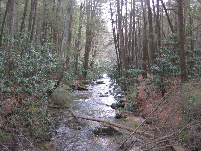
This section of the Benton MacKaye Trail (BMT) is a short one that runs about four miles from Big Stamp Gap to Three Forks, where it joins up again with the Appalachian Trail. Three Forks is a nice flat area accessible by USFS 58 where Stover, Chester, and Long Creeks converge. The area is very pleasant and it is often crowded with overnight campers, especially on weekends. We hiked a loop in this section that started at Three Forks and followed the Appalachian Trail back to USFS 42. From here we returned back to Three Forks via the Benton MacKaye Trail (BMT). It’s either a short day hike or an extremely easy backpacking trip, depending on your preference.
- click for more photos from our hike on the Benton MacKaye Trail: September 19, 1998
- click for a Daytimer report from this day hike starting at Three Forks: September 19, 1998 (password required)
- click for a Trails Illustrated map of this area in the Chattahoochee National Forest
- click for a topographical map of section one of the Benton MacKaye Trail (password required)
- click for a trail map of the entire Benton MacKaye Trail (password required)
- click for another map of the entire Benton MacKaye Trail (password required)
- click for a BMTA profile map of section one of the Benton MacKaye Trail (password required)
- click for trail notes from section one of the Benton MacKaye Trail (password required)
- click for more hikes in this area from Big Stamp Gap
- click for more information on the Benton MacKaye Trail
- click for Benton MacKaye Trail hiking and backpacking books
- click for the guidebook Best Hikes With Dogs Georgia And South Carolina which has details on this area