Springer Mountain (via Amicalola Falls)
Appalachian Trail Conservancy
799 West Washington Street
Harpers Ferry, WV 25425
(304) 535-6331
The southern terminus of the Appalachian Trail is located at Springer Mountain in the Chattahoochee National Forest. The nearest road is U.S. Forest Service Road 42 which is located 0.9 miles northbound on the A.T. Many hikers that plan a day, overnight, or long distance trip on the Trail start from this USFS parking area. The lot, however, is about two hours from Amicalola Falls State Park and many long distance hikers choose to start their journey on the A.T. from the base of the falls at the State Park. Starting at Amicalola Falls allows hikers to follow the famous Approach Trail and symbolically earn their way to the official southern terminus. This route has become a traditional starting point for many northbound thru-hikers each spring.
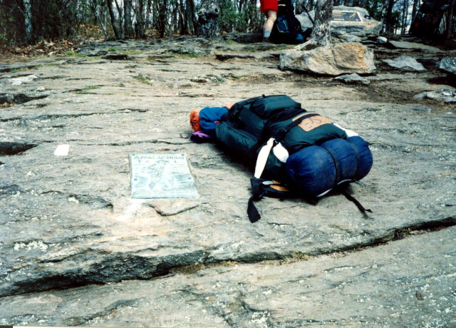
The Approach Trail is a connector trail to the Appalachian Trail and the 8.1 mile blue-blazed route starts at the back of the visitors center in Amicalola Falls State Park. It is a very difficult ascent and a surprisingly challenging descent. The reason is that Woody Knob, Frosty Mountain and Black Mountain are located on this route and there is a fair amount of elevation change regardless of your direction. If you choose to ascend from the base of Amicalola Falls (1,700 feet) to Springer Mountain (3,782 feet) you will climb well over 2000 feet by the time you reach Springer Mountain, the southern terminus of the A.T. I’ve hiked the Approach Trail numerous times in both directions, but my most memorable is undoubtedly the first trip in 1994 when I started my thru-hike. After lugging 57 pounds up and down mountains all day, I was really happy to reach the summit of Springer Mountain and see the last blue blaze of the Approach Trail and the first white blaze of the Appalachian Trail.
- click for a short video slideshow of my 1994 hike on the Appalachian Trail
- click for more photos from this hike from Amicalola Falls to Springer Mountain: April 10, 1994
- click for a trail journal from the Appalachian Trail in North Georgia: April 10, 1994
- click for a Daytimer report from this backpacking trip on the A.T. April 10,1994 (password required)
- click for a Trails Illustrated map of this area between Amicalola Falls & Springer Mountain
- click for a topographical map of the Approach Trail to Springer Mountain (password required)
- click for a profile map of the Approach Trail from Amicalola Falls to USFS 42 (password required)
- click for a topographical map of the Springer Mountain area (password required)
- click for an ATC trail map from Amicalola Falls to Three Forks (password required)
- click for an ATC profile map from Amicalola Falls to Springer Mountain (password required)
- click for a Georgia Appalachian Trail overview map (password required)
- click for a Georgia Appalachian Trail profile map (password required)
- click for an article about the campsites at Springer Mountain
- click for more hikes to Springer Mountain from Nimblewill Gap in April 2004 and March 2007
- click for the guidebook Appalachian Trail: Georgia-North Carolina which has details on this destination
- click for more information on the Appalachian Trail


