Shining Rock (via USFS 816)
Pisgah National Forest
Shining Rock Wilderness
1600 Pisgah Highway
Pisgah Forest, NC 28768
(828) 877-3265
The Shining Rock Wilderness is a series of high elevation ridges with spectacular views in the Pisgah National Forest. Five peaks in the area are over 6000 feet including Cold Mountain (6,030 feet) and Black Balsam Knob (6,214 feet). However, the wilderness is named for Shining Rock (5,940 feet) which is a summit of white quartz located in the middle of the forest.
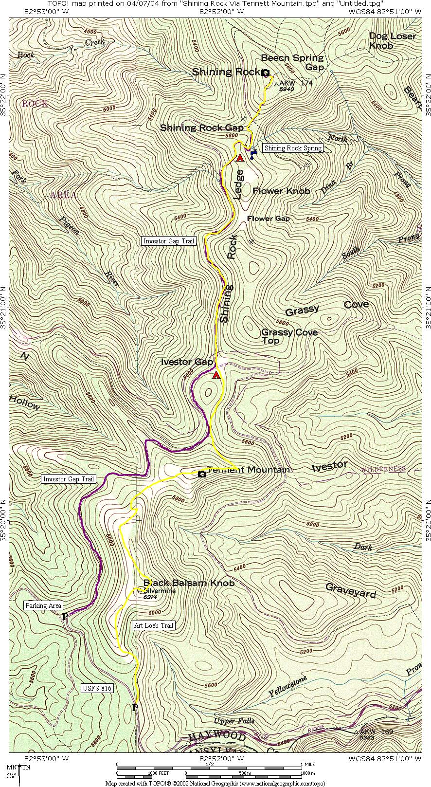
Shining Rock is a prominent geological feature located in western North Carolina. It’s part of the Appalachian Mountains, specifically within the Great Balsam Range. The name “Shining Rock” comes from the quartzite rock summit, which reflects sunlight, giving it a shiny appearance. The views from here are impressive (although not as drastic as other mountains in the area), and Shining Rock is a central hub for most of the backcountry trails in the wilderness. This hike starts at the lower parking area off USFS 816 and follows the Investor Gap Trail into the Shining Rock Wilderness to the jagged rock outcropping that bears its name.
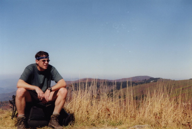
- click for more photos from this backpacking trip in the Shining Rock Wilderness: October 17, 1999
- click for a detailed trip report of this hike in the Pisgah National Forest: October 17, 1999 (password required)
- click for the Pisgah Ranger District Trails Illustrated map which details on this area
- click for a topographical and profile map of this route over Tennet Mountain (password required)
- click for a map of intersecting trails at Shining Rock (password required)
- click for a photo of intersecting trails at Shining Rock (password required)
- click for more backpacking trips in the Shining Rock Wilderness in October 1996 and October 2000
- click for the guidebook North Carolina Hiking Trails which has details on this destination
- click for more hiking and backpacking trips in the State of North Carolina