Shining Rock (via Investor Gap)
Pisgah National Forest
Shining Rock Wilderness
1600 Pisgah Highway
Pisgah Forest, NC 28768
(828) 877-3265
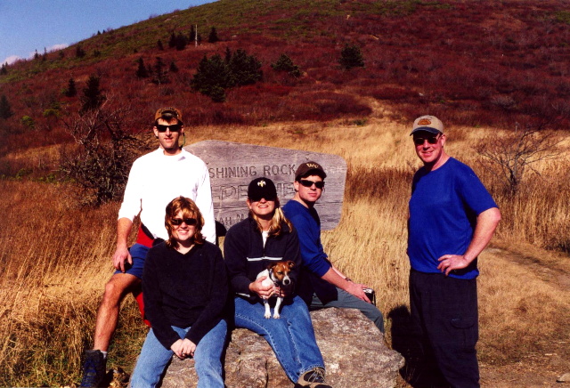
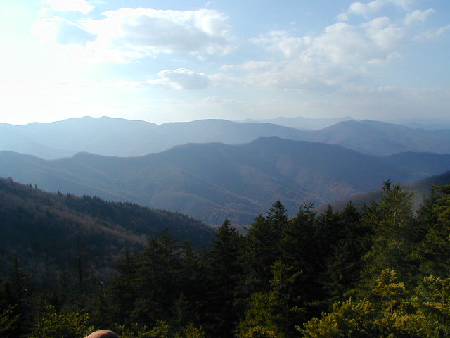
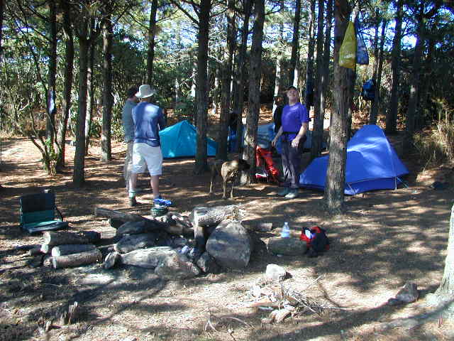
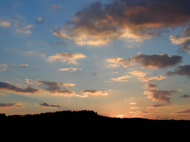
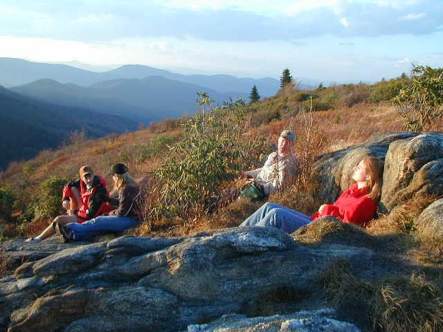
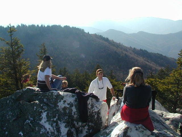
Shining Rock Wilderness is one of the most rugged and scenic wilderness areas in the southern Appalachian Mountains, encompassing more than 18,000 acres within Pisgah National Forest. The wilderness is characterized by a network of high-elevation ridges, grassy balds, spruce-fir forests, and exposed rocky summits that provide some of the finest long-range views in western North Carolina. Several mountains within the wilderness rise above 6,000 feet, including Cold Mountain at 6,030 feet and Black Balsam Knob at 6,214 feet, making the area one of the highest regions east of the Mississippi River. Despite these towering peaks, the wilderness takes its name from Shining Rock, a striking summit covered in brilliant white quartz outcroppings that stand out sharply against the surrounding dark forests. Sunlight reflecting off the exposed quartz gives the mountain its distinctive “shining” appearance, especially during clear afternoons and at sunset. The combination of open balds, cool mountain air, and dramatic ridgeline scenery has made the Shining Rock Wilderness a favorite destination for backpackers, hikers, and photographers seeking a more remote mountain experience.
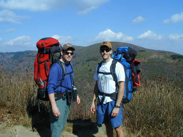
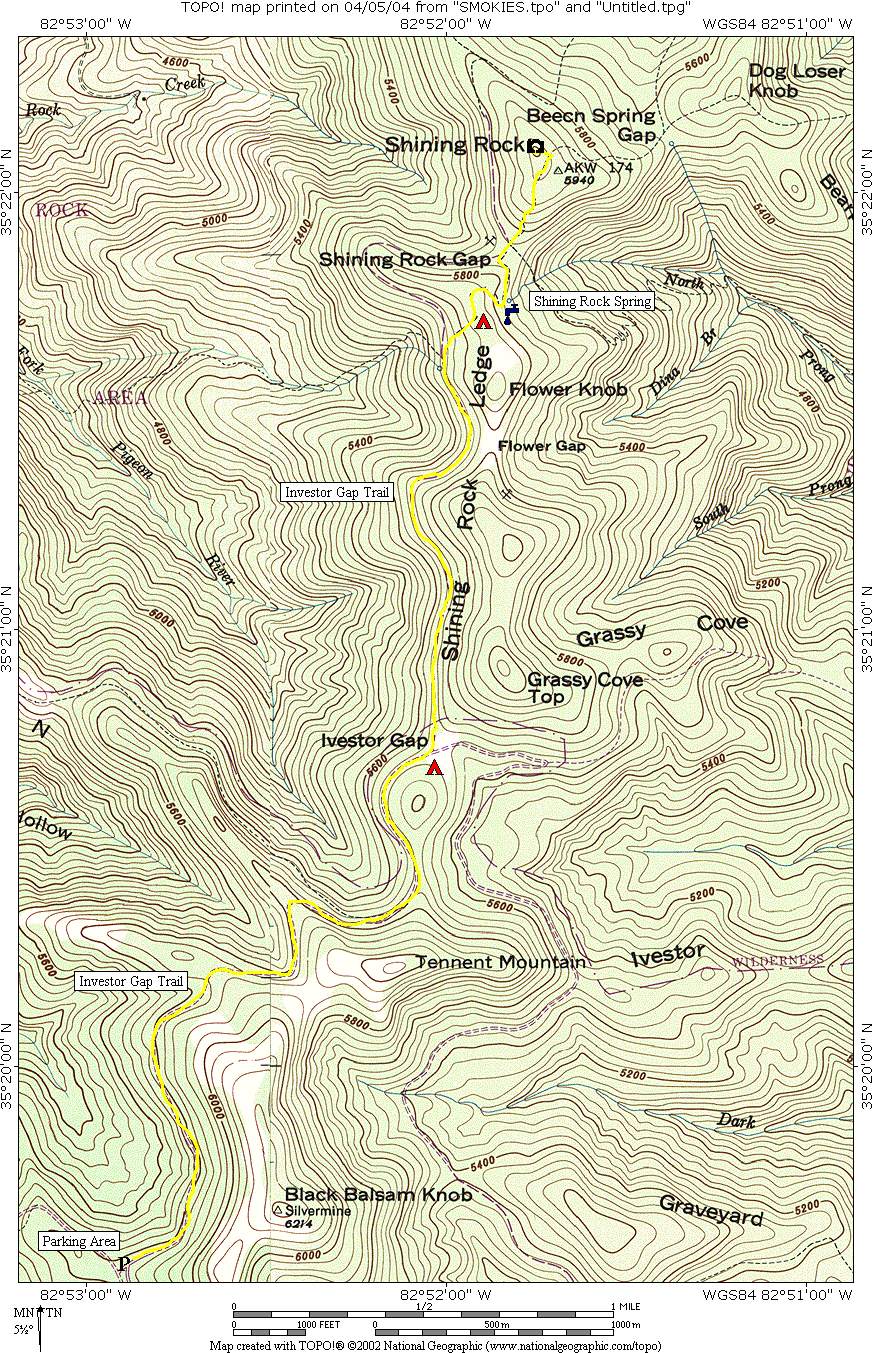
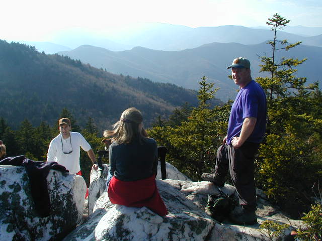
Shining Rock itself is one of the most recognizable geological landmarks in western North Carolina and sits within the Great Balsam Range of the Appalachian Mountains. Unlike many forested summits in the region, Shining Rock features large expanses of exposed quartzite that create bright white rock faces visible from surrounding peaks and valleys. Although the summit views are somewhat more enclosed than nearby open balds such as Black Balsam, the scenery from Shining Rock remains impressive, with layered mountain ridges stretching across the horizon and dense forests filling the valleys below. The area also serves as a central hub for many of the wilderness trails, connecting routes that lead toward Ivestor Gap, Flower Gap, Cold Mountain, and other remote backcountry destinations. This hike begins at the lower parking area along Forest Service Road 816 near Ivestor Gap and follows the Ivestor Gap Trail gradually into the heart of the wilderness. Along the route, hikers pass through high-elevation hardwood forests, moss-covered creek valleys, and occasional openings that reveal sweeping mountain vistas before reaching the jagged quartz outcroppings that give Shining Rock its name. The contrast between the brilliant white stone, dark evergreen forests, and rolling Blue Ridge Mountains creates one of the most unique landscapes in the southern Appalachians.
- click for more photos from this hike in the Shining Rock Wilderness: October 28, 2000
- click for a detailed trip report from this backpacking trip in the Pisgah: October 28, 2000 (password required)
- click for the Pisgah Ranger District Trails Illustrated map which details on this area
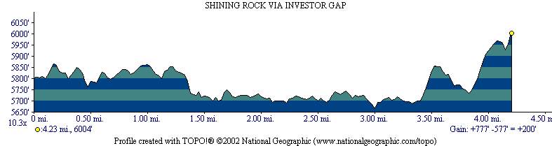
- click for a topographical and profile map of this hike starting at Investor Gap (password required)
- click for a map of intersecting trails at Shining Rock (password required)
- click for a photo of intersecting trails at Shining Rock (password required)
- click for more backpacking trips in the Shining Rock Wilderness in October 1996 and October 1999
- click for the guidebook North Carolina Hiking Trails which has details on this destination
- click for other North Carolina hiking and backpacking books