McDonald Ridge (via Wayah Gap)
Nantahala National Forest
Wayah Ranger District
Franklin, NC 28734
828-524-6441
The Nantahala National Forest is the largest of the four national forests in North Carolina and is the the second wettest region in the country – after the Pacific Northwest. The word “Nantahala” is a Cherokee word meaning “Land of the Noonday Sun.” In some spots, the sun only reaches the floors of the deep gorges in the middle of the day. The National Forest has 531,270 acres with elevation ranging from 5,800 feet at Lone Bald in Jackson County to 1,200 feet in Cherokee County along the Hiwassee River.
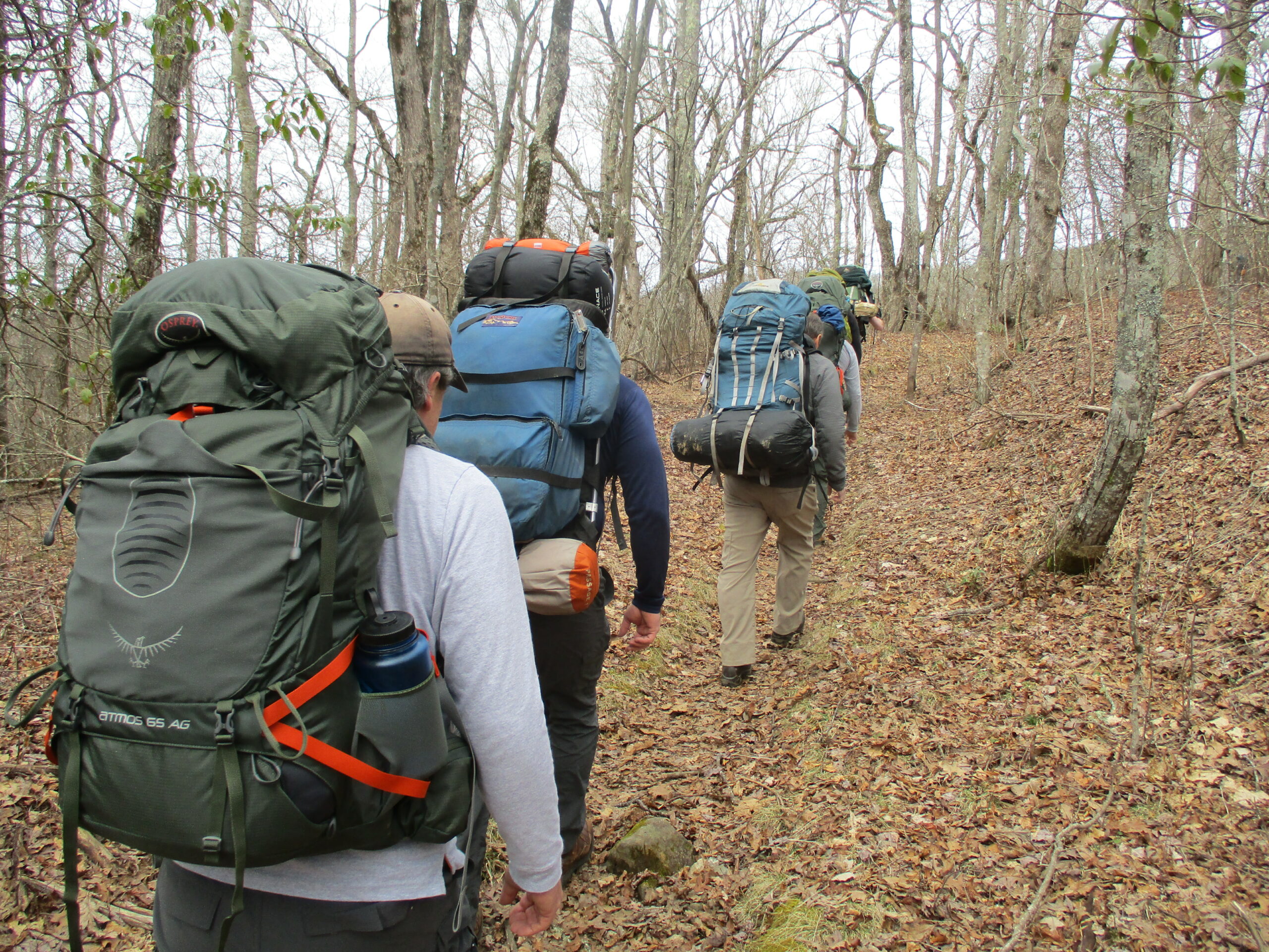
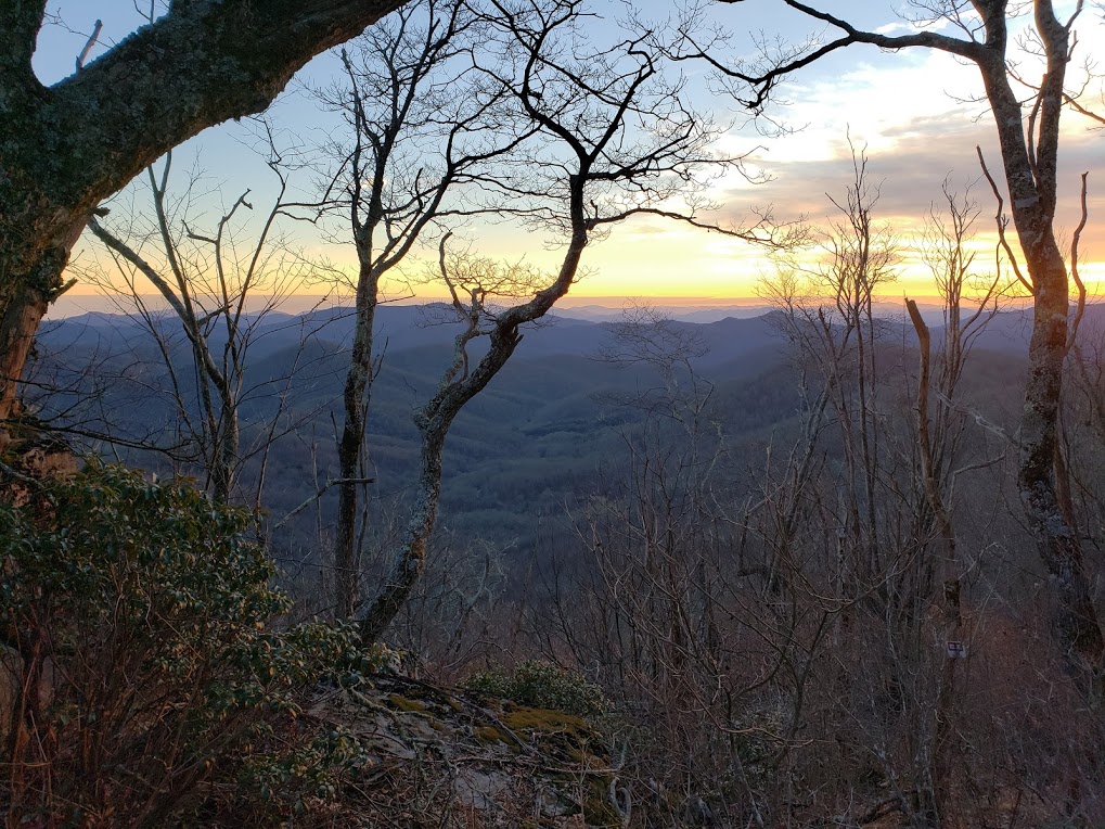
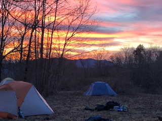
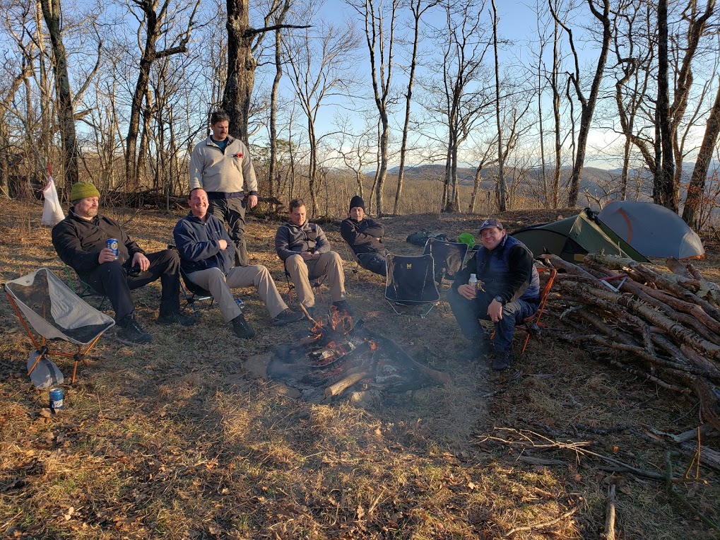
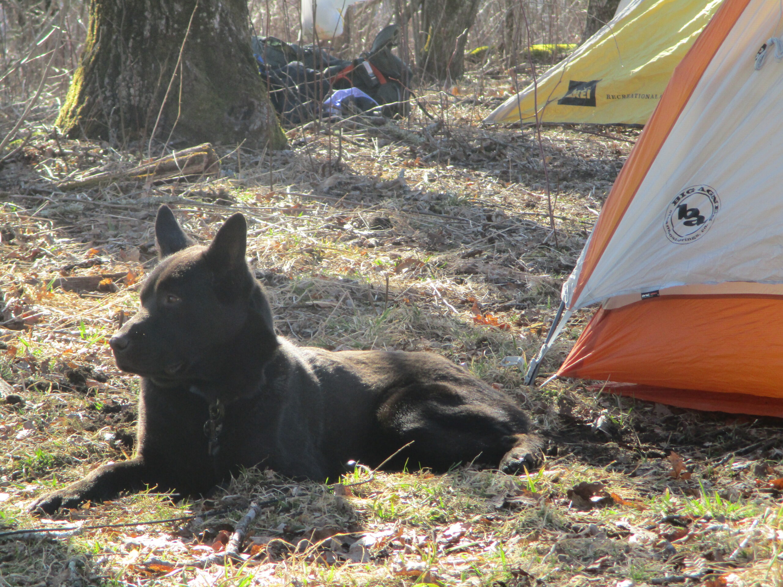
This hike to McDonald Ridge starts at Wayah Gap and climbs northbound on the Appalachian Trail over 2 miles and 1000+ feet to Wine Spring Bald. Here there is a spring to the left of the A.T., and campsites located on both sides of the trail. Wine Spring Bald is also an intersection point for the yellow blazed Bartram Trail which climbs McDonald Ridge to meet the Appalachian Trail at this point. At 5400 feet, the “Bald” is the highest point on the entire Bartram Trail. Don’t expect spectacular views from Wine Spring Bald, however, since it has been overtaken by trees in recent years. But you can venture 0.5 miles down the Bartram Trail for views from a field at McDonald Ridge.
- click for a video from this backpacking trip near Franklin, NC: February 9, 2019 (password required)
- click for more photos from this hike to McDonald Ridge: February 9, 2019 (password required)
- click for a trip report for this hike on the Appalachian and Bartram Trails: February 9, 2019 (password required)
- click to purchase the Nantahala and Cullasaja Gorges Trails Illustrated map which has details on area
- click for a topo map from this hike to McDonald Ridge (password required)
- click for a trailhead and campsite map for this hike to McDonald Ridge (password required)
- click for a guidebook of the Bartram Trail from Wayah Bald to Nantahala Lake (password required)
- click for an ATC profile map from Wallace Gap to Licklog Gap (password required)
- click for an ATC trail map from Wallace Gap to Cold Spring Shelter (password required)
- click to see another hike to McDonald Ridge via Wayah Bald
- click for a recap of our annual cold weather Klondike Hikes into the wilderness which began in the early 90’s
- click for a trail map of the Appalachian Trail in Georgia, North Carolina, and Tennessee (password required)
- click for more information on the Appalachian Trail
- click for Appalachian Trail hiking and backpacking books
- click for the guidebook Appalachian Trail: Georgia-North Carolina which has details on this destination