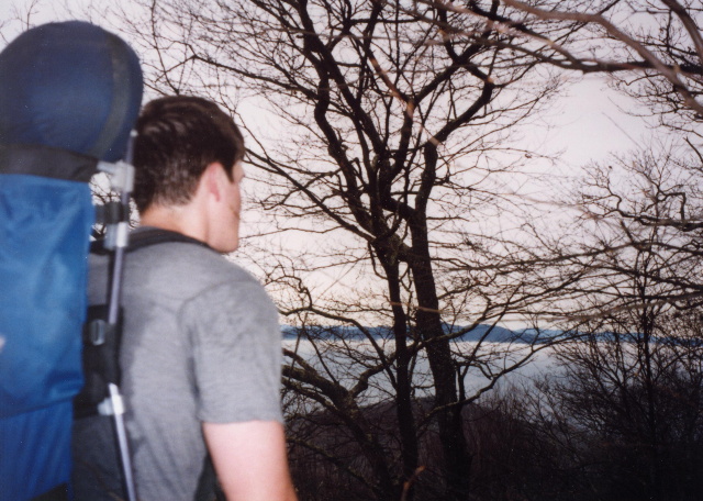
HIGHLIGHTS: The Duncan Ridge Trail is a rugged and difficult route that runs from Long Creek Falls (near Dahlonega, GA) to Slaughter Gap (near Blairsville, GA). The trail’s western terminus is less than a mile from U.S. Forest Road 58 at the convergence of three streams in an area known as Three Forks. The D.R.T. shares this route with the Benton MacKaye Trail for about sixteen miles to Rhodes Mountain then breaks east and makes a series of ascents and descents in route to the summit of Coosa Bald. From here the trail continues toward Slaughter Gap, the site of a bloody Indian battle, where it reaches the eastern terminus. Parking is nearby at the Reece Memorial Parking Area and a sixty-mile loop hike is possible when combined with the Appalachian Trail which touches both the western and eastern terminus of the D.R.T.
MORE DETAILS |


Speak Your Mind