Devil’s Lake
Devil’s Lake State Park
S5975 Park Road.
Baraboo, WI. 53913
Park Office: 608.356.8301
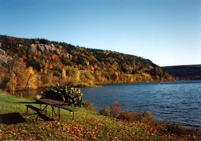
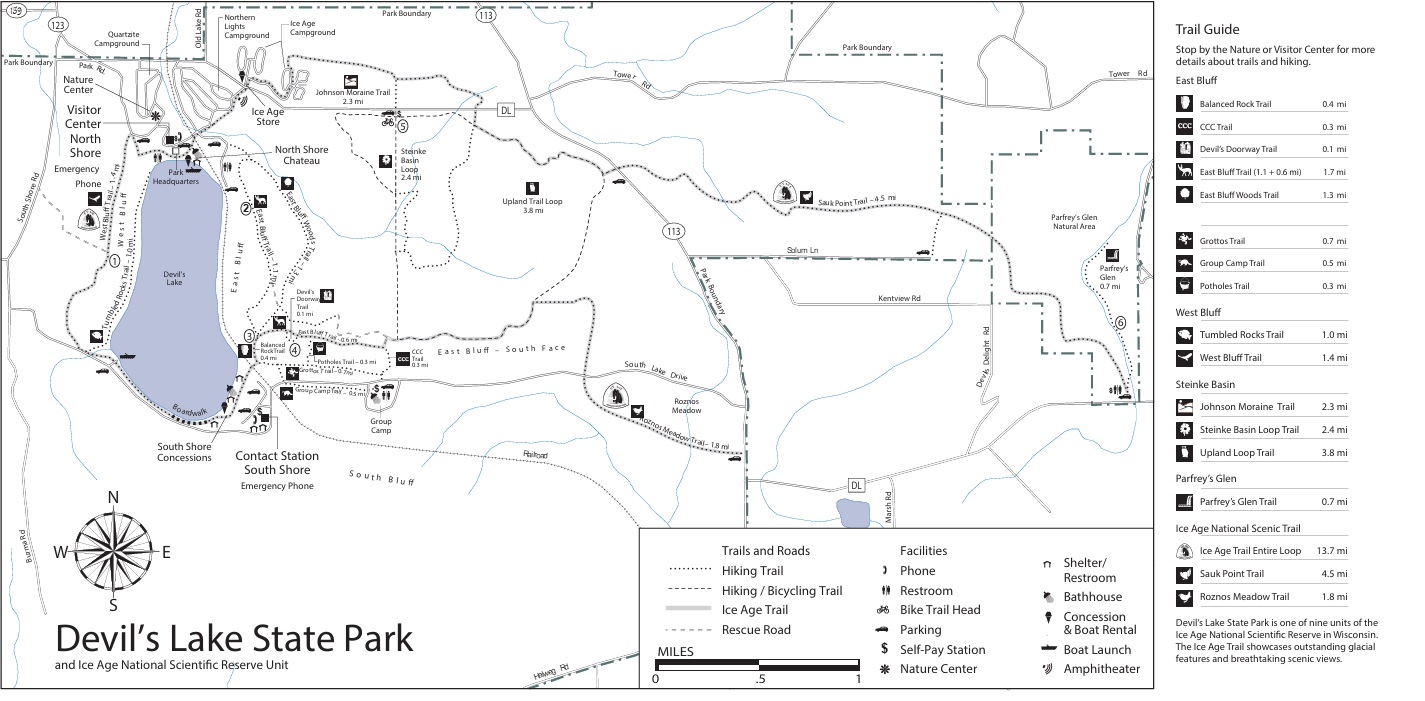
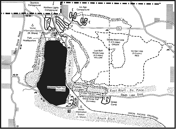
Devil’s Lake State Park became a state park in 1910 but it has been a popular tourist attraction for more than a century. The lake is located about three miles south of Baraboo in hills referred to as the South Range. Devil’s Lake sits in an opening or gap in the rocks, and the ancient hills around it are formed of quartzite rock, which consists of grains of sand tightly cemented together. According to geologists, the sand was deposited by rivers as they drained into shallow seas covering this area a billion years ago. Glacial activity helped shape the landscape and blocked the original drainage years later – forming the lake that exists today. The result is one of the most striking geological landscapes in the Midwest.
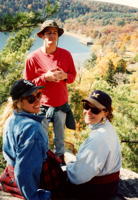
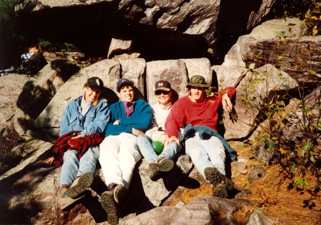
Devil’s Lake State Park has spectacular views from 500 foot cliffs, miles of hiking trails, swimming areas including two large sandy beaches, hundreds of campsites, mountain bike trails, and cross country ski trails. Part of the 1,000 mile Ice Age Trail also passes through the park. During our overnight visit, we hiked a moderate to difficult wooded section that runs between Parfrey’s Glen and the Ice Age Loop. There are spectacular views to the south in this area and you can see the Wisconsin River in the distance. The hike is four miles and takes about three hours. Steep stone stairways and rocky sections along the route add a bit of challenge to the trail, but hikers are rewarded with impressive overlooks. This section of trail is especially popular in autumn when the surrounding hardwood forests turn brilliant shades of red, orange, and gold.
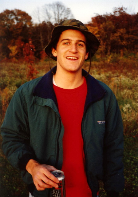
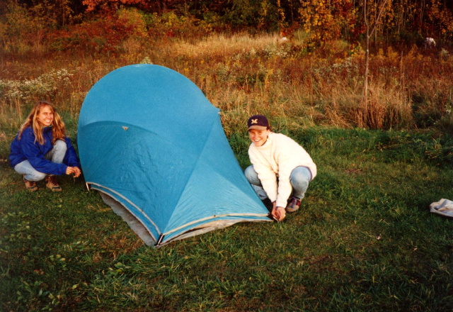
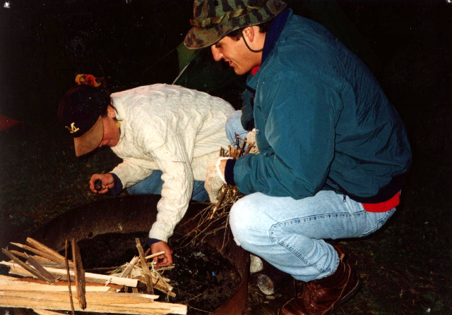
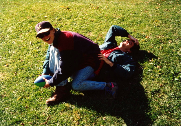
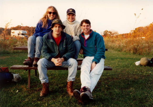
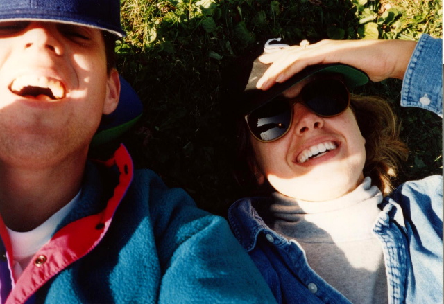
- click for more photos from this camping trip at Devil’s Lake: October 9, 1993
- click for a Daytimer report from this hike on the Ice Age Trail: October 9, 1993 (password required)
- click for a park map from Devil’s Lake State Park (password required)
- click for a topo and profile map of this hike around Devil’s Lake (password required)
- click for a trail map of Wisconsin’s Ice Age Trail
- click to purchase the guidebook Hiking Wisconsin with more hikes in the State
- click for a hike we did earlier this Spring at Kettle Moraine State Forest
- click for a hike we did earlier this month to Lake Nokon
- click for more hikes in the State of Wisconsin