Appalachian Trail #3 (Pine Mountain to North Mountain Trail)
Appalachian Trail Conservancy
799 West Washington Street
Harpers Ferry, WV 25425
(304) 535-6331
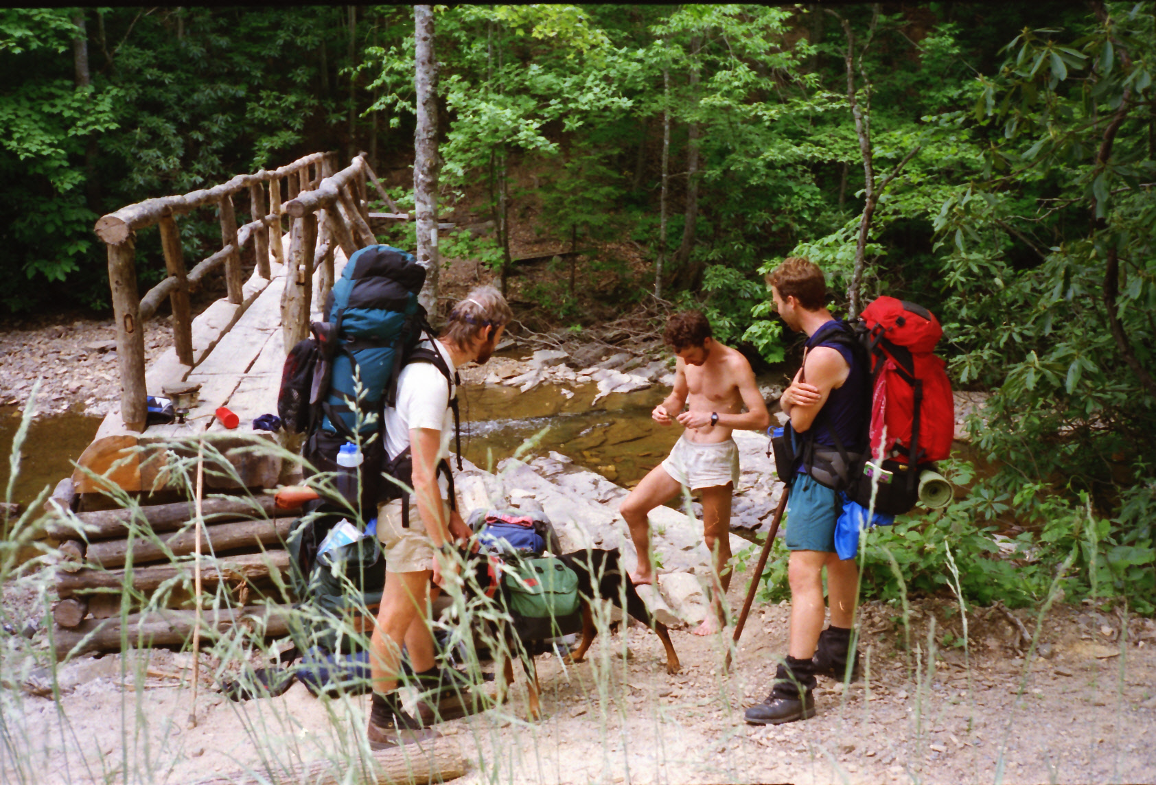
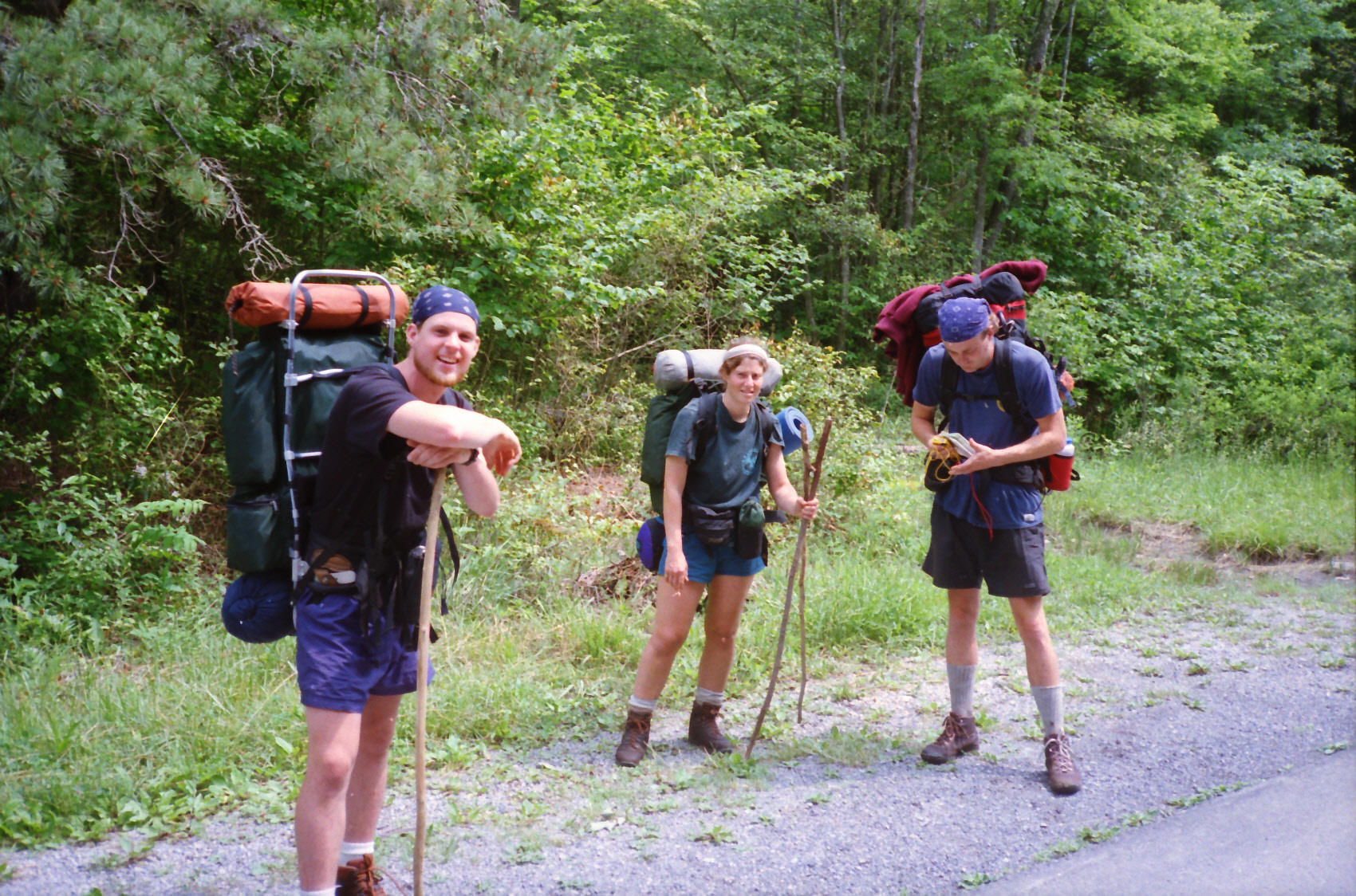
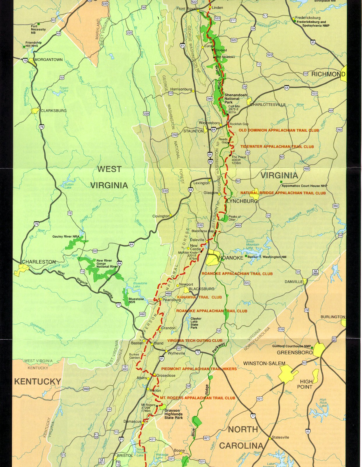
This section of the Appalachian Trail runs from the Mount Rogers National Recreation Area to Catawba, Virginia (which is not far from Roanoke). It begins with the open, high-elevation balds and rocky pinnacles of the Mount Rogers/Grayson Highlands area with wild ponies and sweeping 360° views, then descends through rolling ridges and meadows before traversing the long, quiet Iron Mountain ridgeline toward the well-known Partnership Shelter near Marion. From there the trail weaves through classic Southwest Virginia farmland and wooded ridges, past historical sites like the Lindamood School.
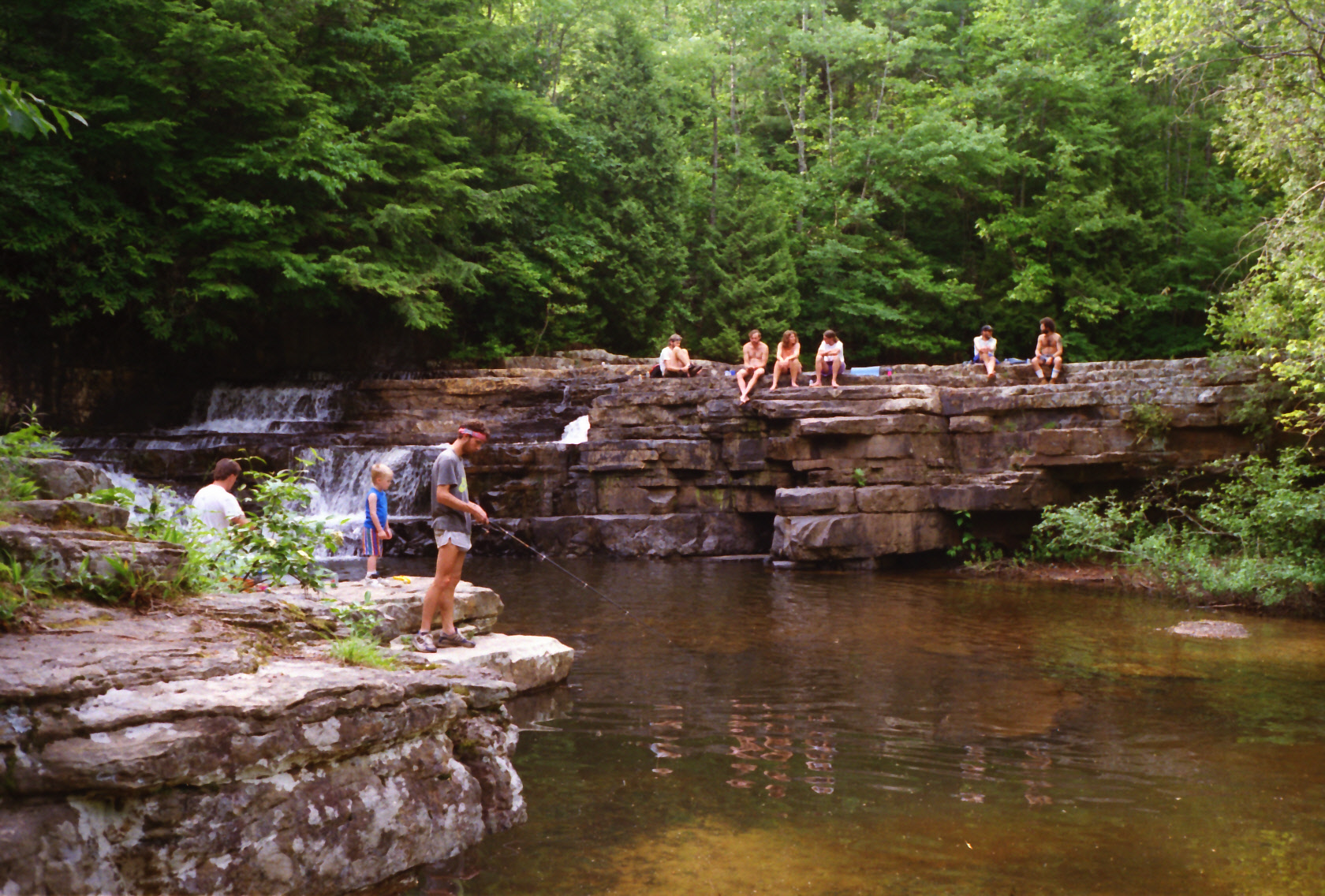
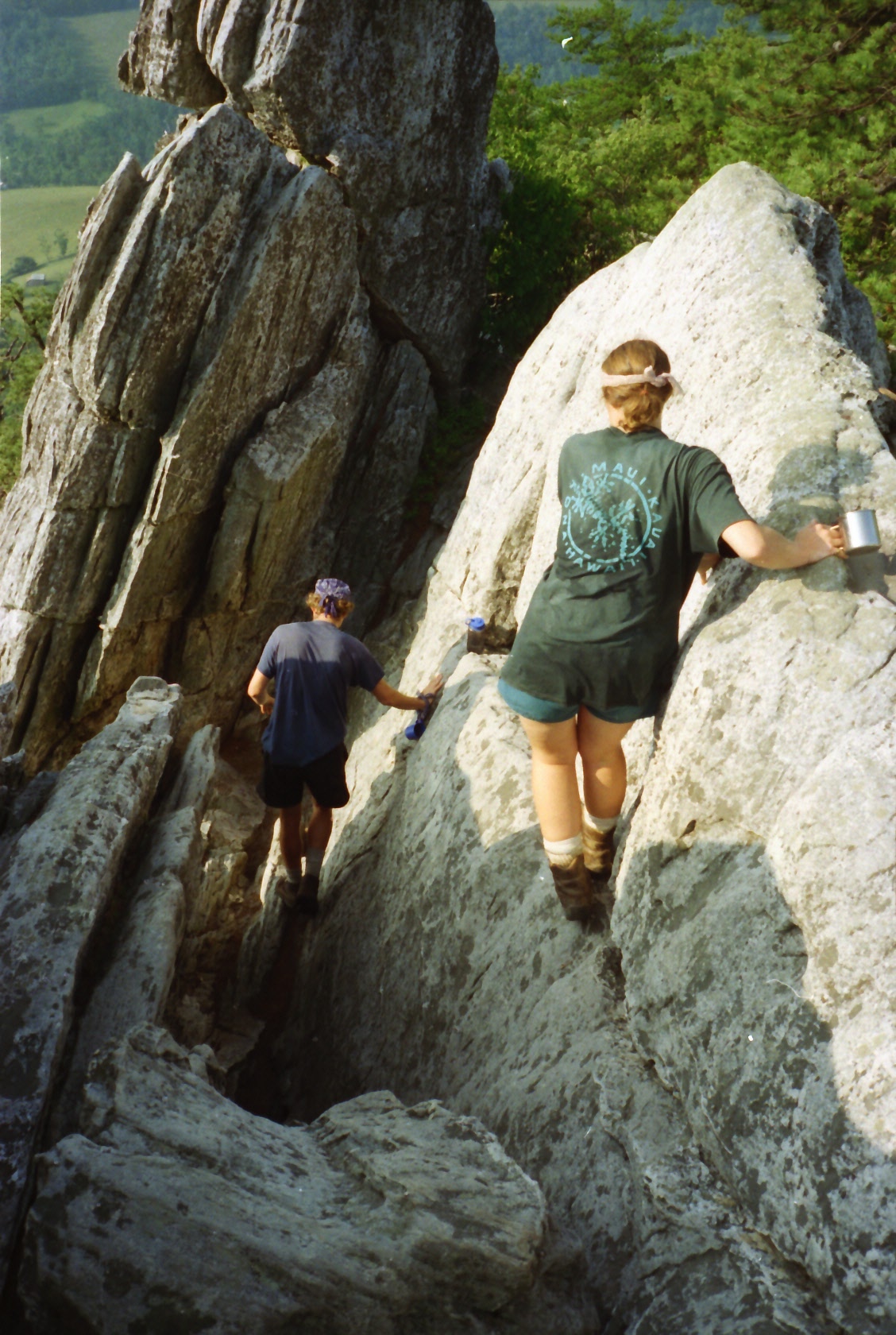
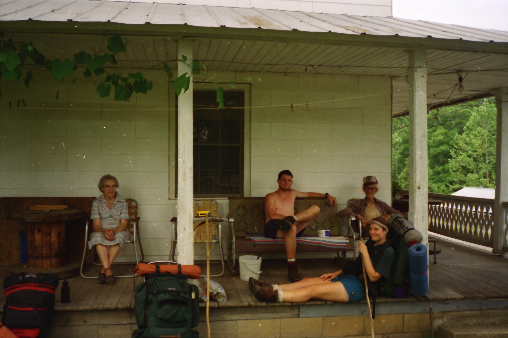
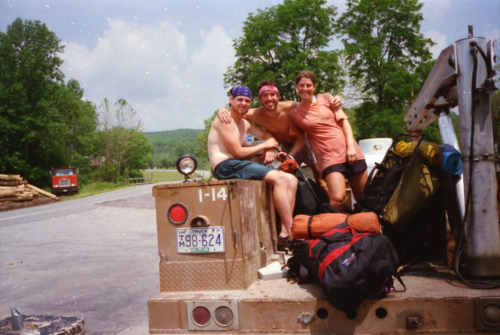
The Trail crosses I-81 here near Atkins, crosses I-77 near Bland and eventually enters the Dismal Creek and Wapiti area before climbing to Pearis Mountain and the panoramic Angel’s Rest overlook above Pearisburg. The A.T. leaves Southwestern Virginia at Pearisburg where the Shumate Bridge spans the New River. North of Pearisburg, the A.T. follows the Eastern Continental Divide through cool, remote forest in the Mountain Lake Wilderness, eventually reaching the dramatic “Triple Crown” features—Dragon’s Tooth, McAfee Knob, and Tinker Cliffs—before descending to VA-311 at Catawba, making this entire corridor a showcase of Southern Appalachian scenery, geology, history, and trail culture. Catawba, VA is well known in thru-hiker circles for the Home Place Restaurant, a family-style eatery with excellent food.
- click for a short video slideshow of my 1994 hike on the Appalachian Trail
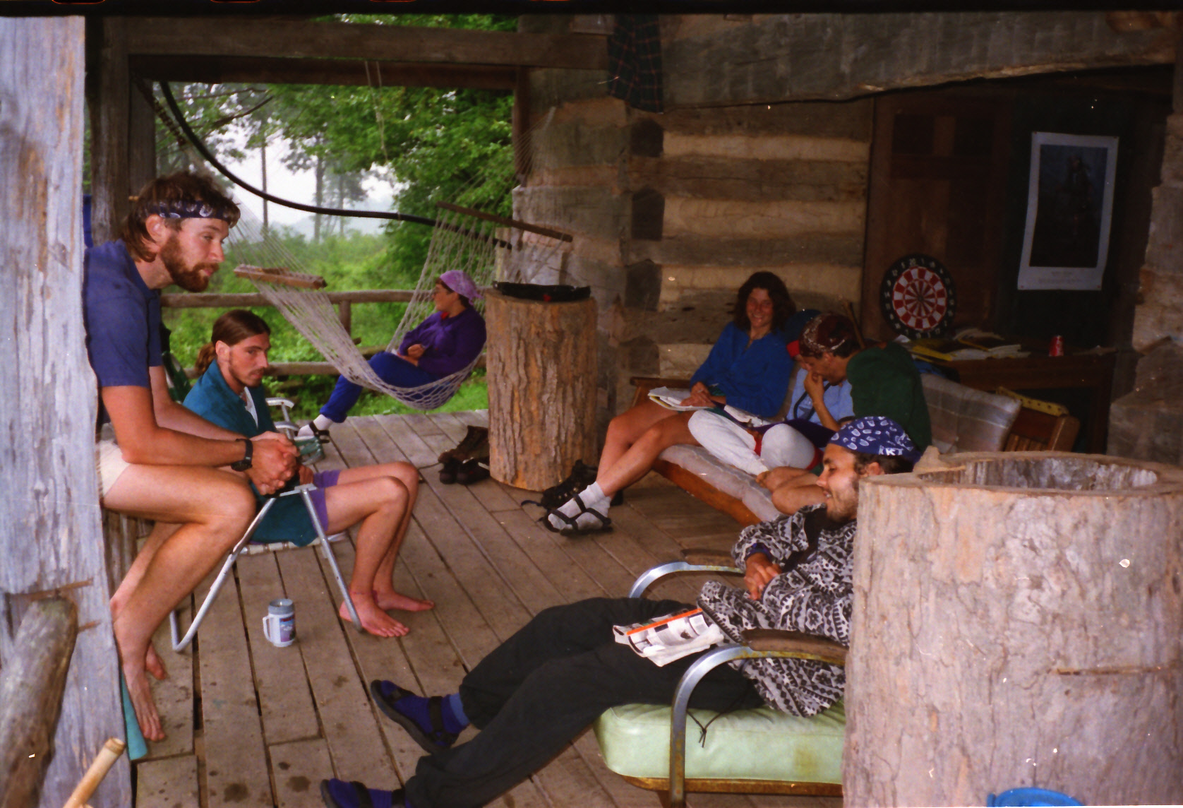
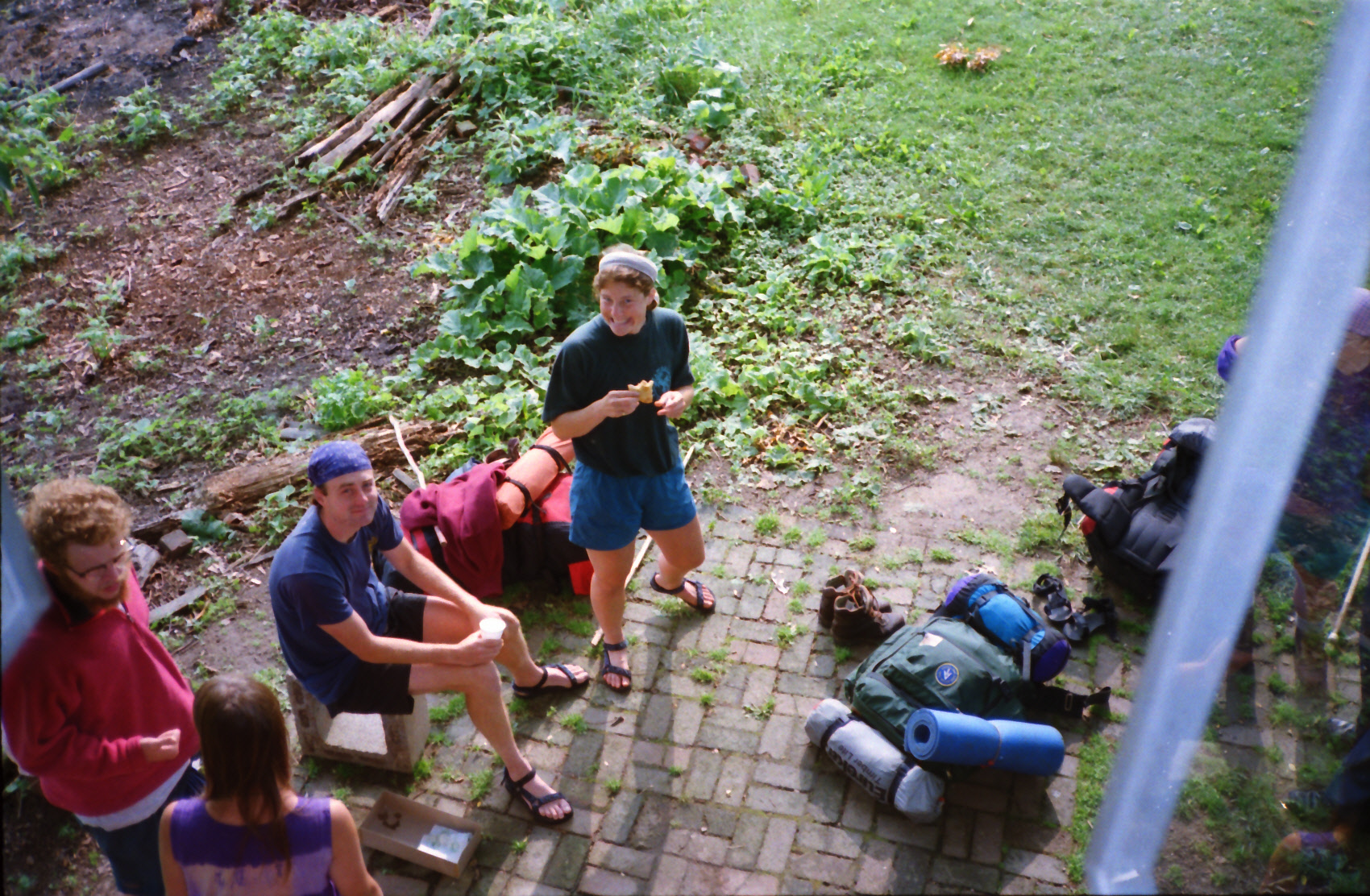
- click for more photos from my thru-hike through Southwestern Virginia: May 31, 1994
- click for a Daytimer report from my thru-hike during May 1994 and June 1994 (password required)
- click for journal entries from BirdShooter’s thru-hike of the A.T. in Virginia: May 31, 1994
- click for a trail map of the entire ~2200 mile Appalachian Trail
- click for a trail map from this section of the A.T. in Southwestern Virginia
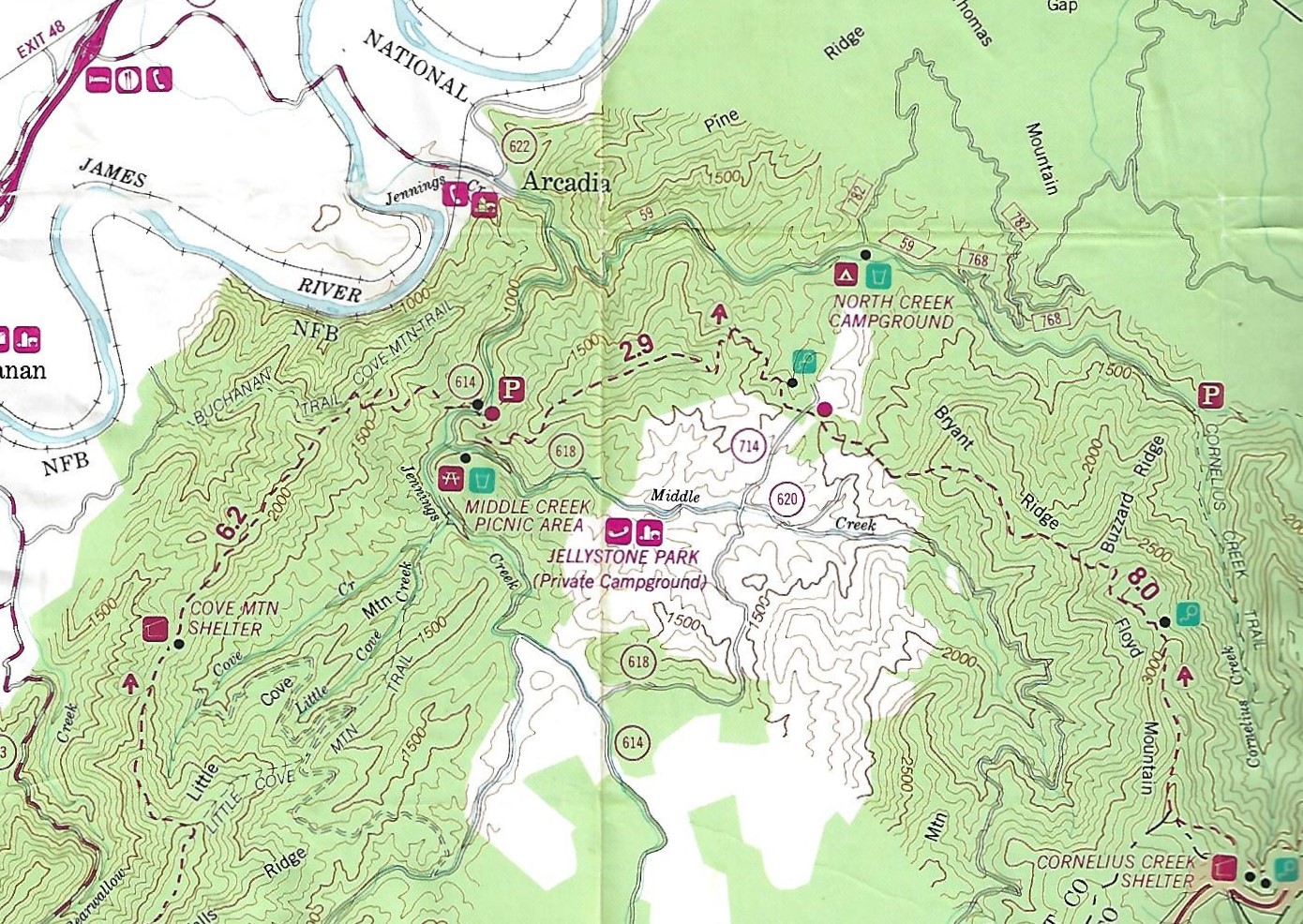
- click for a trail map of the A.T. around Jellystone Campground
- click for a topographical map of the Appalachian-Pine Mountain Loop
- click for a topo and profile map of a loop hike in this area with a side trip to Mount Rogers (password required)
- click for the guidebook Hiking Virginia for more hikes in the State
- click for Virginia hiking and backpacking books
- click for more information on the Appalachian Trail
- click for Appalachian Trail hiking and backpacking books