Appalachian Trail #11 (Loft Mountain Campground to Front Royal)
Appalachian Trail Conservancy
799 West Washington Street
Harpers Ferry, WV 25425
(304) 535-6331
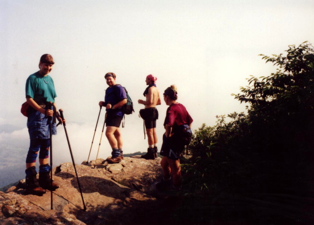
The Appalachian Trail in the Shenandoah National Park continues for twenty-seven miles from Loft Mountain to Lewis Mountain Campground, a similar but smaller facility. Lewis Springs are located nearby with a gushing spring fifty feet off the trail and Lewis Falls is farther down a side trail that goes beyond the spring. The Skyline Drive (which is always a short distance from the Trail in the park) is accessible via a service road to the right which leads a short distance to Skyline Drive and then another 0.2 miles to the Big Meadows Wayside. Big Meadows is a large complex that covers over a mile of the park. It has a campground, a lodge, some cabins, some exhibits, a picnic area, a laundry room, and an amphitheater. There’s even a taproom with live entertainment.
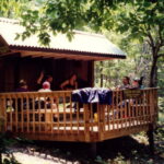
Panorama is the next wayside stop on the Appalachian Trail and it is located at US 211 in Thorton Gap. The facility is basically a large wayside station with a restaurant and gift shop, and it is the last with services for the northbound hiker. From here, it’s less than twenty-five miles to the Northern Park Boundary. The Tom Floyd Wayside is located just north of the Shenandoah National Park, but it is a trail shelter and does not have any services available. It does, however, have a nice deck which is unusual for most shelters along the Appalachian Trail. This section ends at US 522 which is four miles from the city of Front Royal. It’s only three miles from the Tom Floyd shelter to US 522.
- click for more photos from this hiking trip in the Shenandoah National Park: June 15, 1996
- click for a trip report for this hike through the northern section of the park: June 15, 1996
- click for a Daytimer report from this hike in central Virginia: June 15, 1996 (password required)
- click for a park map of Shenandoah National Park
- click for a park map for the A.T from Loft Mountain to Big Meadow
- click for a park map from Big Meadow to Front Royal
- click for a trail map from this section of the A.T. in Shenandoah National Park
- click for the previous section 10 and the next section 12 of my A.T. hike through Virginia
- click for a map of the entire Appalachian Trail
- click for a summary of the 2000+ mile Appalachian Trail
- click for recommended books, videos and games about the Appalachian Trail
