Appalachian Trail #5 (VA 311 to BRP Mile 51.7)
Appalachian Trail Conservancy
799 West Washington Street
Harpers Ferry, WV 25425
(304) 535-6331
The stretch of the Appalachian Trail between McAfee Knob and Punchbowl Shelter in Virginia covers ~90 miles through the Roanoke, James River, and the Bluff Mountain regions. The section starts at VA 311 where you climb to the the iconic McAfee Knob. It is arguably one of the high points of this section and is one of the most frequently photographed features on the A.T. The knob is a large anvil shaped rock that hangs out over the valley and the views are spectacular from here. From McAfee Knob, the trail continues on to I-81 where it crosses the Interstate again near the town of Troutville. The A.T. then heads toward the Peaks of Otter and Blue Ridge Parkway where it eventually meets the James River at US 501 near Glasgow.
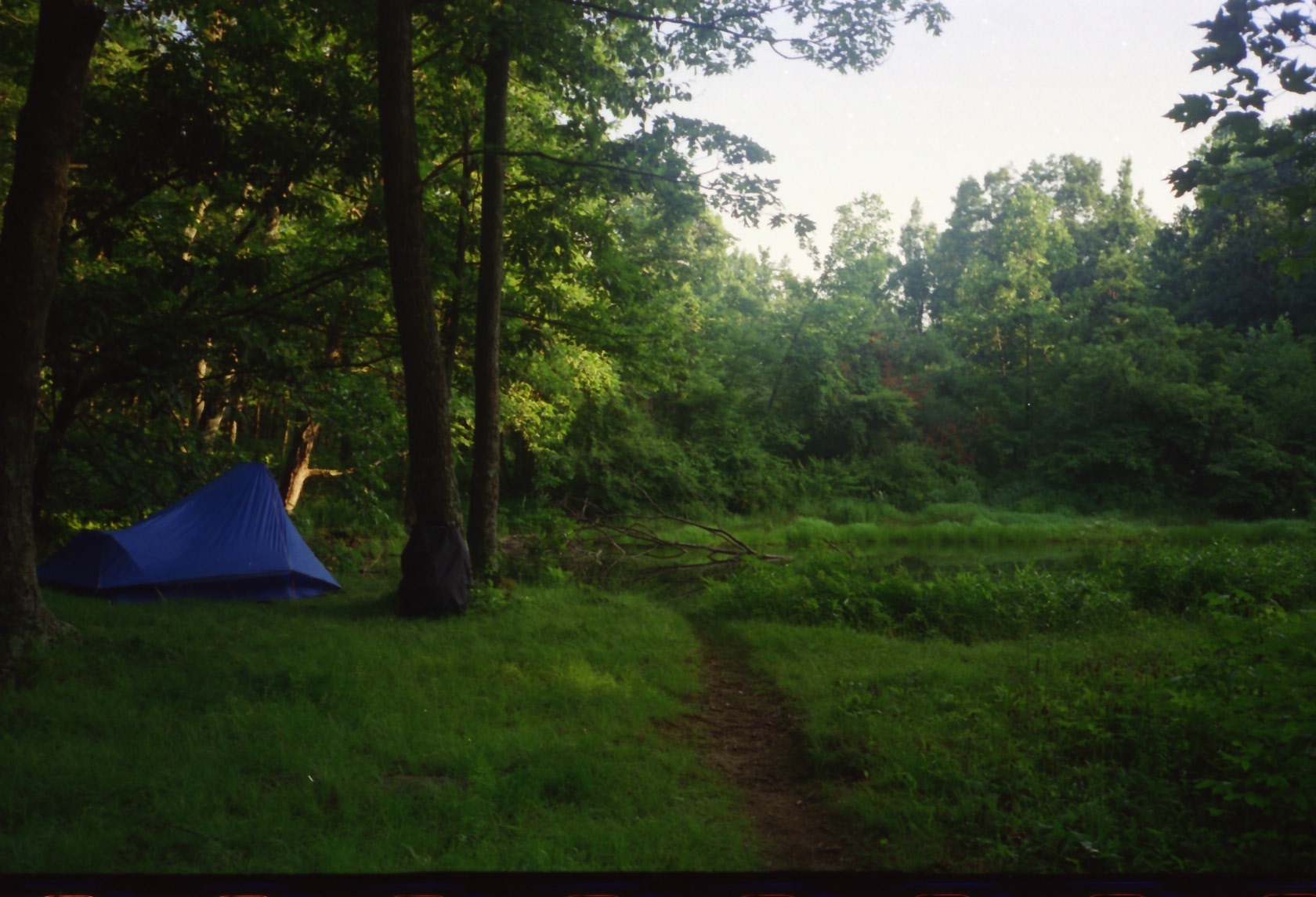
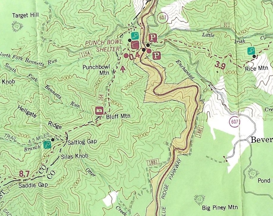
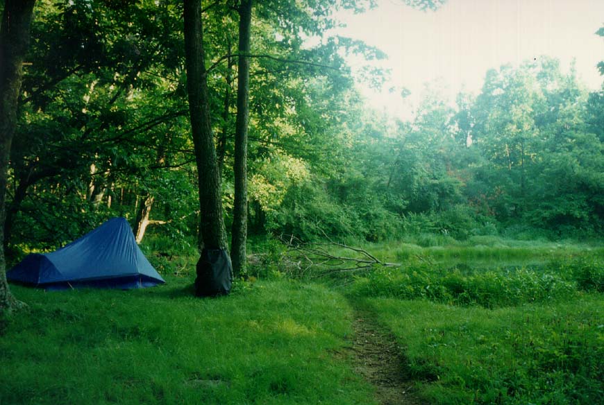
The A.T. north of the James River begins with a challenging ascent, especially for northbound (NOBO) hikers. The trail climbs steadily from the river valley onto a ridge, with significant switchbacks and elevation gain of over 2,000 feet. Hikers are rewarded with superb views along the ridge from peaks such as Big Rocky Row and Little Rocky Row, which provide vantage points of the James River winding through the valley below. As you approach the end of the section, the trail crosses Bluff Mountain, where a clearing at the former fire tower site offers expansive, nearly 360-degree views. A memorial for four-year-old Ottie Cline Powell is located near the summit. The trail continues over Punchbowl Mountain just before reaching the junction for the shelter. Punchbowl Mountain and Punchbowl Mountain Pond are rich in Civil War history and both in a serene woodland setting. From Punchbowl Shelter, it is only 0.4 miles to the Blue Ridge Parkway where this section ends at mile marker 51.7 on the BRP.
- click for a short video slideshow of my 1994 hike on the Appalachian Trail
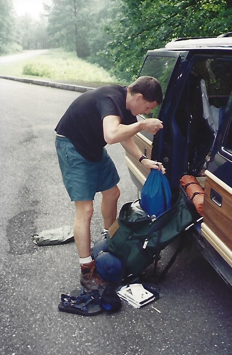
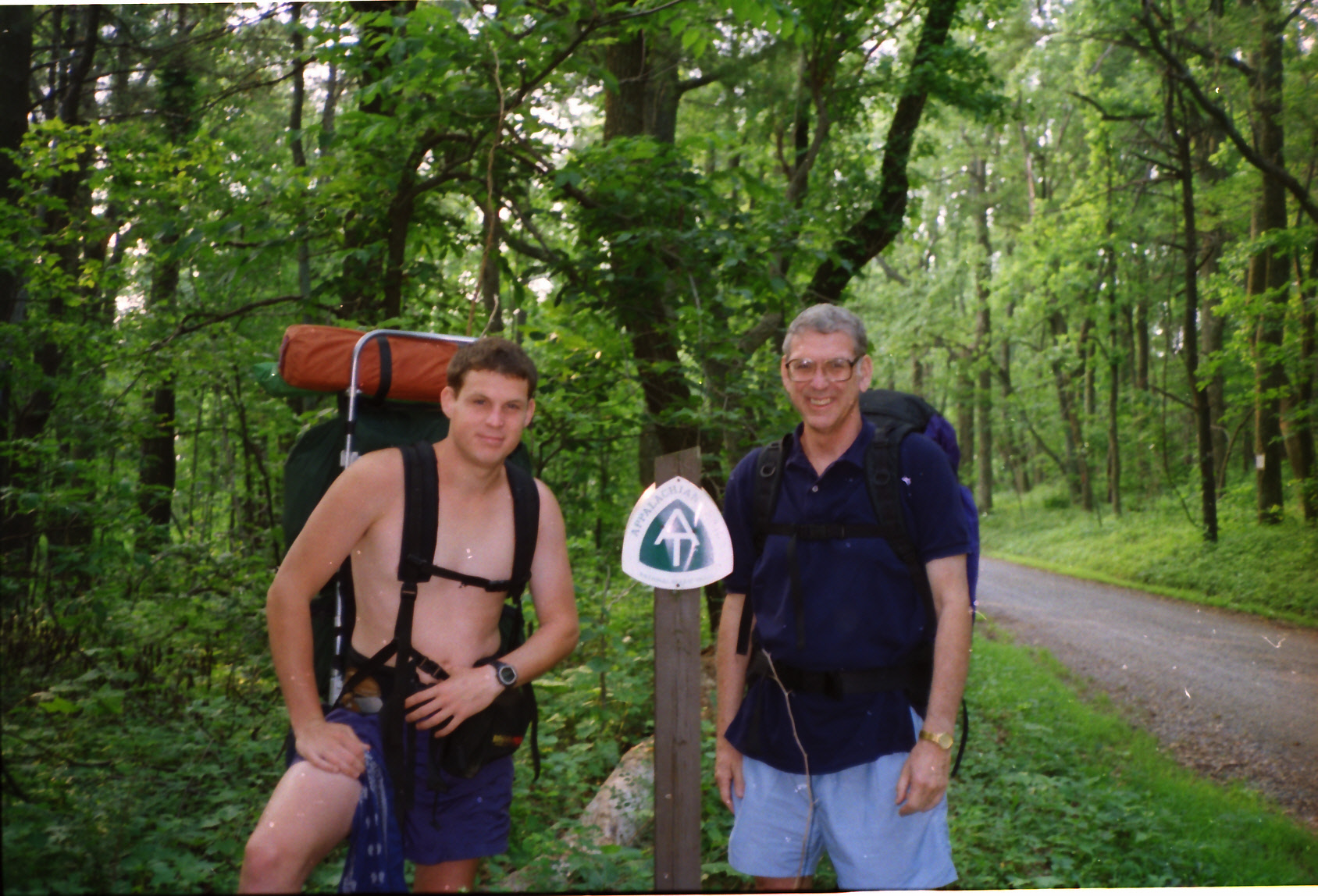
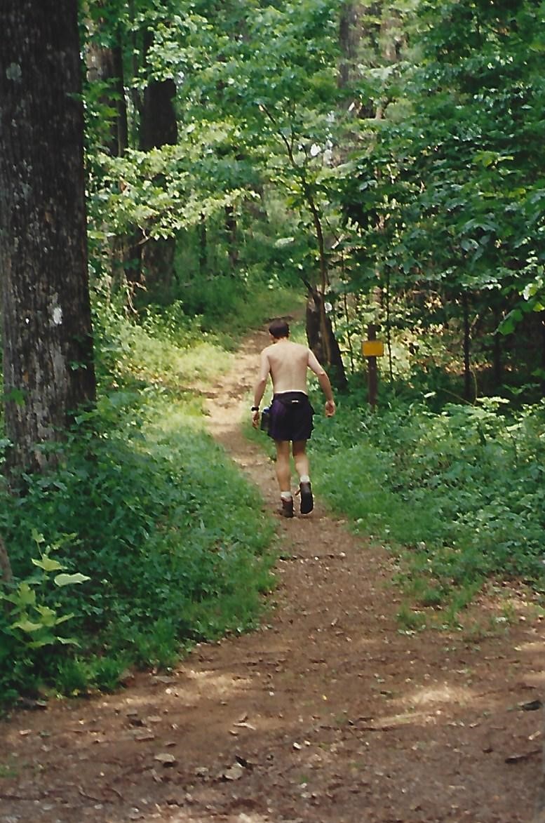
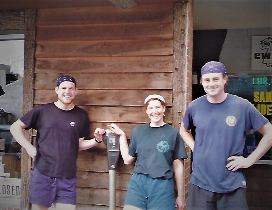
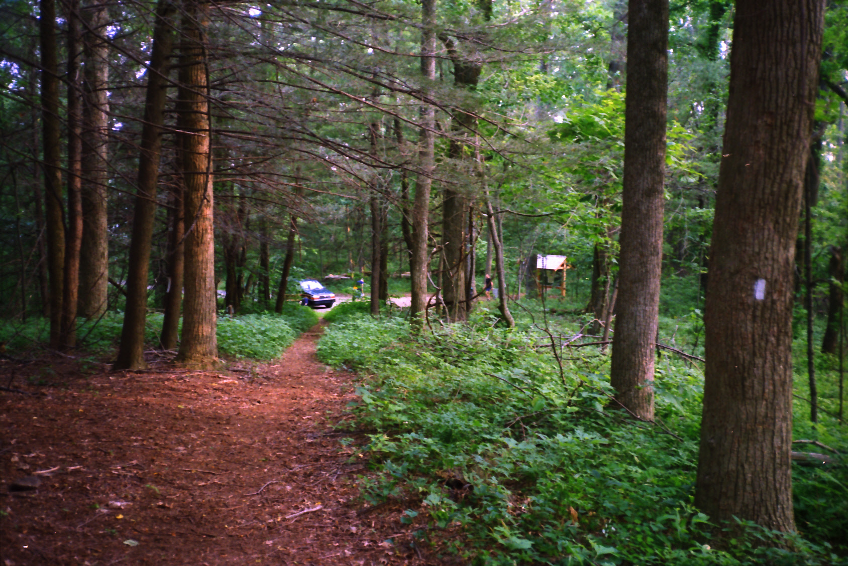
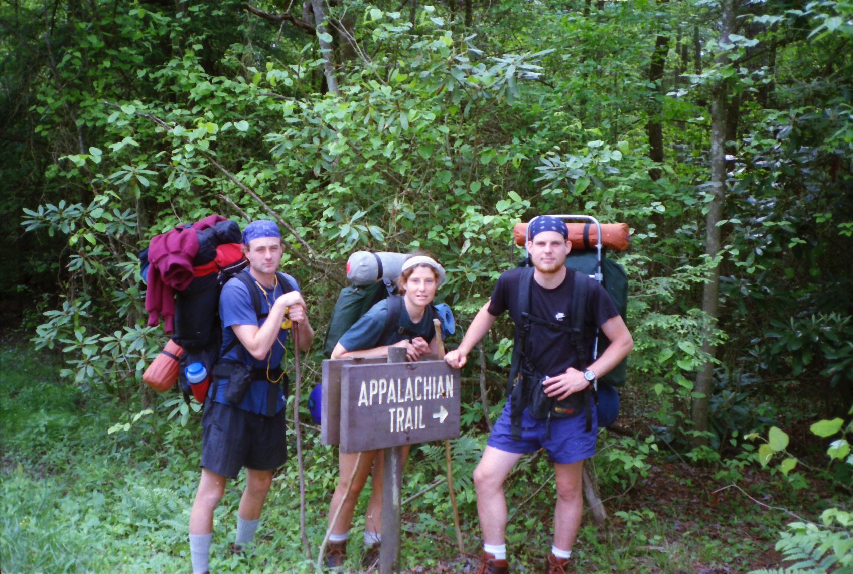
- click for more photos from my thru-hike through Virginia: June 14, 1994
- click for a Daytimer report from my thru-hike during June 1994 (password required)
- click for journal entries from BirdShooter’s thru-hike of the A.T. in Virginia: June 14,1994
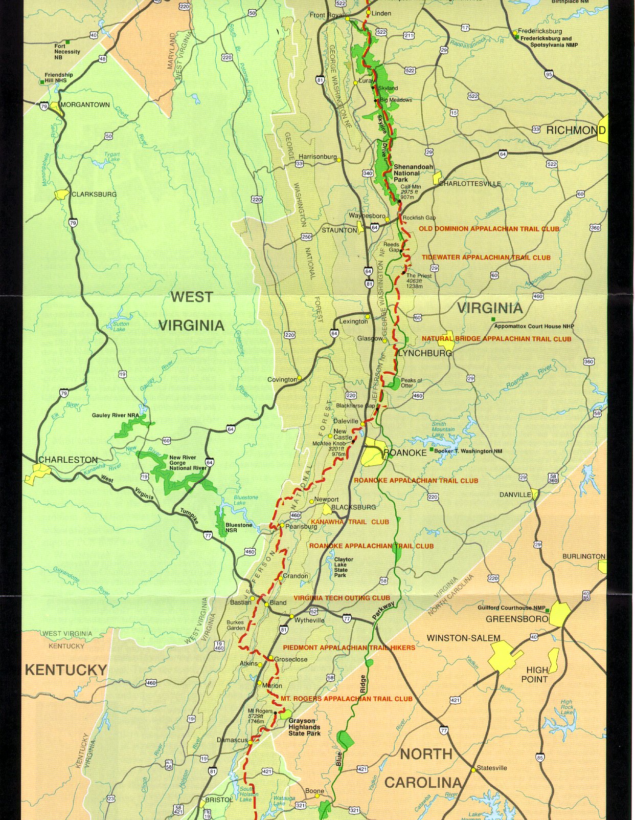
- click for a trail map of the entire ~2200 mile Appalachian Trail
- click for a trail map from this section of the A.T. in Southwestern Virginia
- click for a trail map of the A.T. around Punchbowl Shelter
- click for a topographical map of the Appalachian-Pine Mountain Loop
- click for the guidebook Hiking Virginia for more hikes in the State
- click for Virginia hiking and backpacking books
- click for more information on the Appalachian Trail
- click for Appalachian Trail hiking and backpacking books