Appalachian Trail #7 (Mau-Har Trail to Reeds Gap)
Appalachian Trail Conservancy
799 West Washington Street
Harpers Ferry, WV 25425
(304) 535-6331

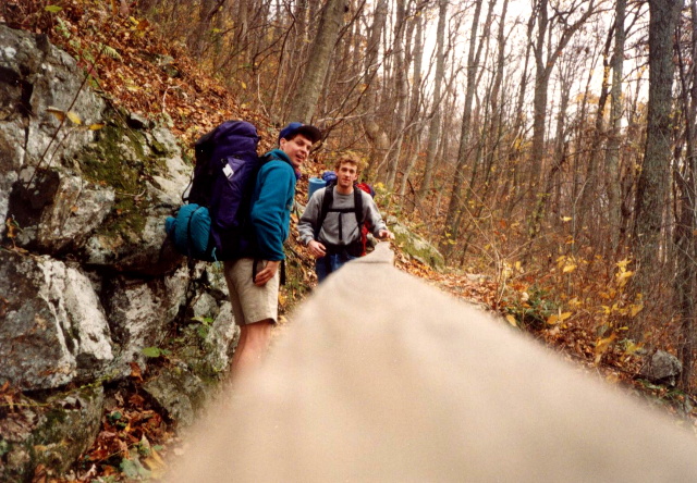
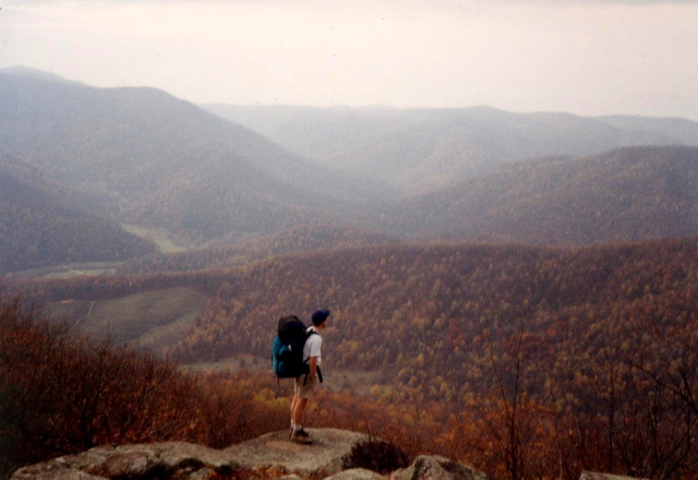
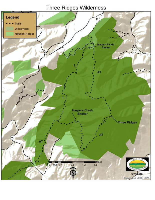
The Appalachian Trail (A.T.) near Reeds Gap is a well-known, rugged, and popular section in central Virginia. Reeds Gap is where the A.T. crosses Route 664 in the George Washington and Jefferson National Forests. This is the trailhead for the challenging Three Ridges Loop and offers great views from overlooks like Chimney Rock and Hanging Rock. The loop uses a section of the A.T. and connects with the blue-blazed Mau-Har Trail, which follows Campbell Creek, known for its waterfalls and swimming holes. Because of its steep climbs and rugged terrain, this section of trail is often considered one of the more strenuous hikes in Virginia. Despite the difficulty, the scenery and remote mountain setting make it a favorite destination for experienced hikers.
The Appalachian Trail meets the Mau Har Trail just before the climb to Three Ridges, and the two trails can be joined to hike a nice 2-3 day loop in the area. A forty-foot waterfall is one of the highlights of the Mau Har Trail. Three Ridges, located on the Appalachian Trail at 3,970 feet is a flat wooded dome that forms the northern wall of the Tye River Valley. There are spectacular views to the north and south from ledges along the crest, and The Priest is viewable to the south (and forms the southern wall of the Tye River Valley.)
- click for more photos from this backpacking trip to Three Ridges: November 12, 1993
- click for a Daytimer report from this hike on the Mau Har Trail: November 12, 1993 (password required)
- click for a trail map of the Three Ridges Wilderness (password required)
- click for a topo and profile map from the Three Ridges Loop (password required)
- click for a topo and profile map of the A.T. from the Tye River to Reeds Gap (password required)
- click for an overview map of the Appalachian Trail in Virginia (password required)
- click for a movie with commentary on BirdShooter’s 1994 A.T. thru-hike (long film produced 1996 ~39 min)
- click for a day-by-day summary of BirdShooter’s 1994 Appalachian Trail thru-hike
- click for a map of the entire Appalachian Trail
- click for a summary of the 2000+ mile Appalachian Trail
- click for recommended books, videos and games about the Appalachian Trail
- click for more hikes in the State of Virginia