Appalachian Trail #9 (BRP Mile 9.6 to Rockfish Gap)
Appalachian Trail Conservancy
799 West Washington Street
Harpers Ferry, WV 25425
(304) 535-6331
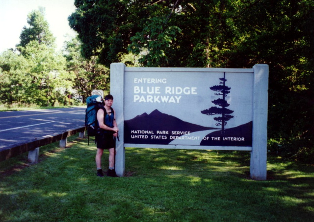
The Appalachian Trail from Blue Ridge Parkway Mile 9.6 to Rockfish Gap is a 12 easy-to-moderate stretch of classic Blue Ridge ridge walking that starts near the Humpback Rocks Picnic Area and gradually descends toward Rockfish Gap. The trail winds through oak–hickory forest with periodic viewpoints south and east toward the Rockfish Valley, crosses or briefly parallels the Parkway several times, and includes a mix of smooth forest footpath and occasional rocky patches. As it loses elevation, the A.T. bends off the crest and approaches the major road junction at Rockfish Gap, where the Blue Ridge Parkway, I-64, and US-250 meet. This point serves as the transition between the George Washington & Jefferson National Forests and Shenandoah National Park, making it a scenic, accessible, and well-traveled finale to the Central Virginia Blue Ridge section.
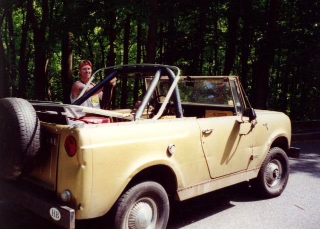
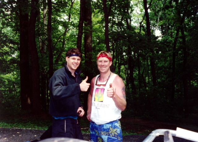
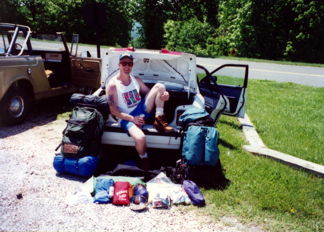
This section of the Appalachian Trail covers the final eleven miles to Rockfish Gap in the National Forest where the Blue Ridge Parkway, I-64, and US 250 intersect near the town of Waynesboro. The Cedar Cliffs are a rock outcropping in this section that have excellent views to the west and look out over the Sherando Lake Valley. The Camel and I spent two days hiking this section and had plans to continue on for an entire week. Unfortunately, his knee blew out on Day 2, and we had to abandon our hike near the Blue Ridge Parkway at mile marker 9.6 where we hitched a ride back to our car.
- click for more photos from this backpacking trip on the A.T. near Rockfish Gap: June 1, 1996
- click for a Daytimer report from this hike in Central Virginia: June 1, 1996 (password required)
- click for a topo and trail map from Reeds to Rockfish Gap (password required)
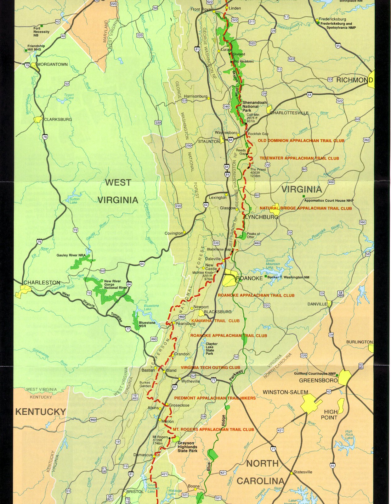
- click for an overview map of the Appalachian Trail in Virginia (password required)
- click for the previous section 8 and the next section 10 of my A.T. hike through Virginia
- click for a map of the entire Appalachian Trail
- click for a trail map from this section of the A.T. south of Shenandoah National Park
- click for a summary of the 2000+ mile Appalachian Trail
- click for recommended books, videos and games about the Appalachian Trail
- click for more hikes in the State of Virginia