Appalachian Trail #2 (VT 9 to Stratton Mountain)
Appalachian Trail Conservancy
799 West Washington Street
Harpers Ferry, WV 25425
(304) 535-6331

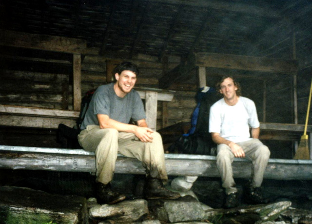
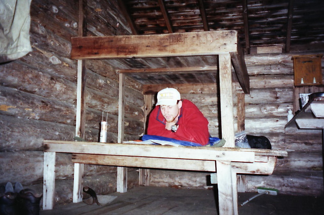
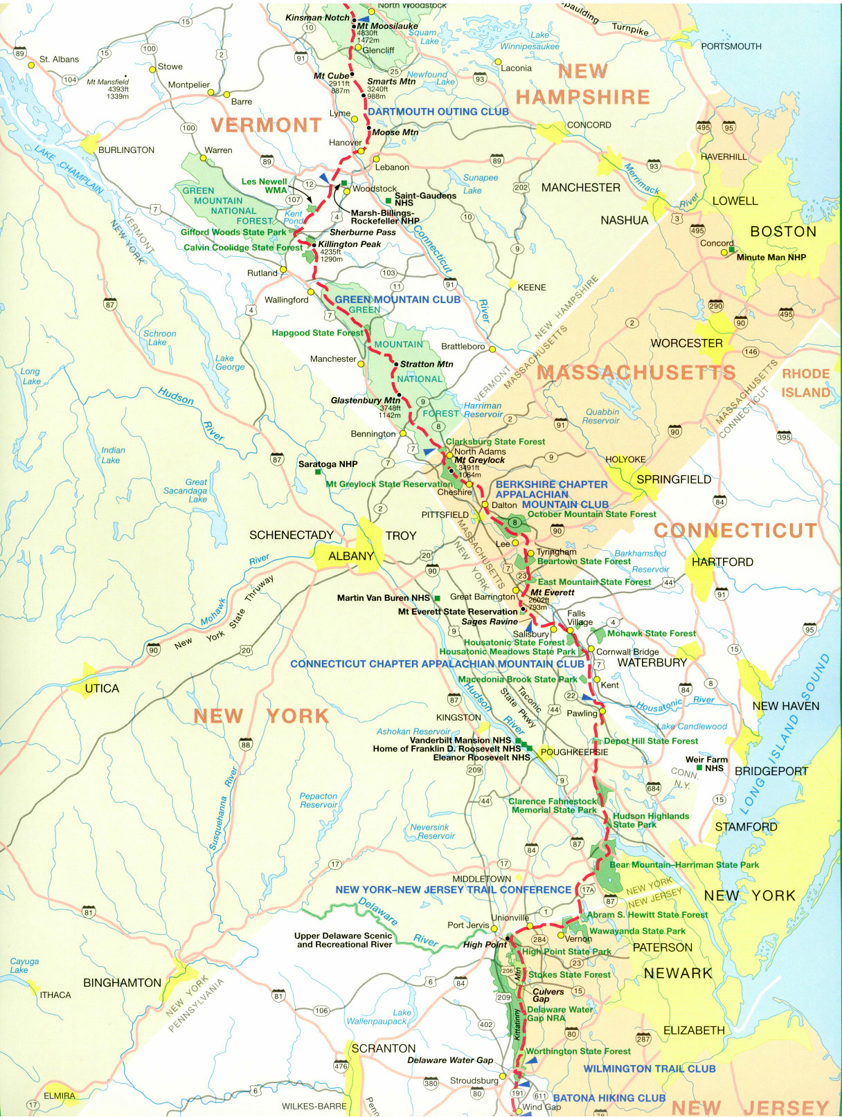
The Appalachian Trail enters the Glastenbury Wilderness north of Vermont Route 9, and the hiking becomes noticeably more remote and rugged. The A.T. loses some of it’s identity in Vermont since it shares the first 100 miles with the Long Trail. The Long Trail was finished in 1931 and extends from the MA/VT border to Canada. It was the nations first long distance hiking trail, but it shares the footpath with the Appalachian Trail only to Sherburne Pass. North of here, the A.T. turns east and continues toward New Hampshire. This roughly 30–32 mile section features long stretches of forest with limited road crossings and a strong backcountry feel. After climbing away from VT 9, the trail passes Melville Nauheim Shelter, Kid Gore Shelter, and Goddard Shelter, traversing rolling ridges and boggy lowlands typical of the southern Green Mountains. The terrain includes roots, mud, and moderate elevation changes, with several small brooks and springs providing water.
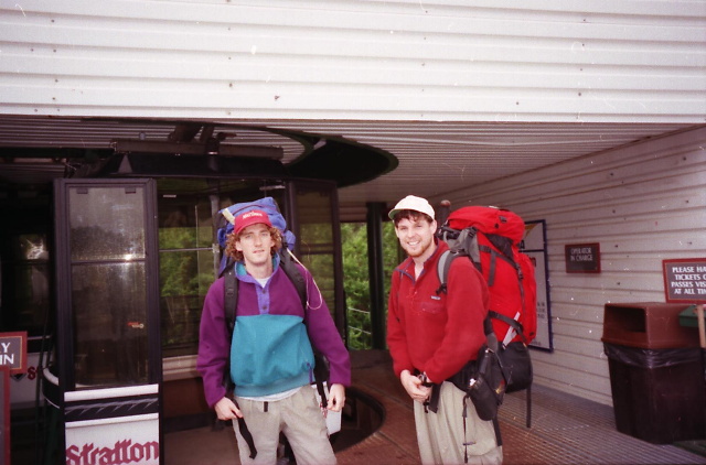
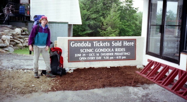
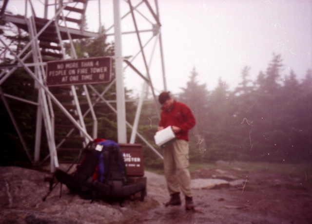
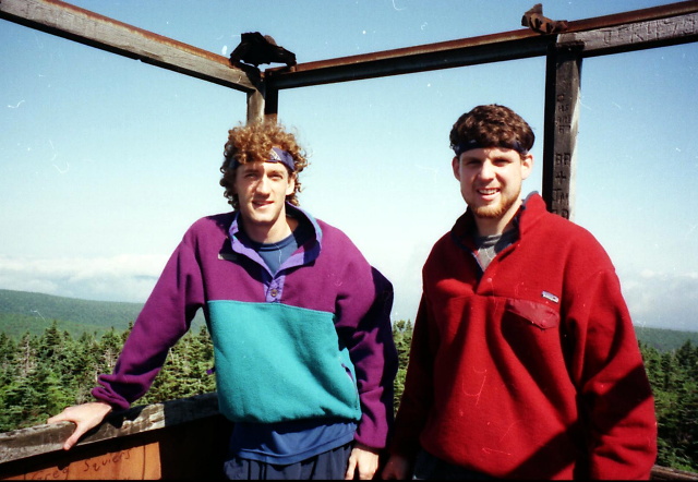
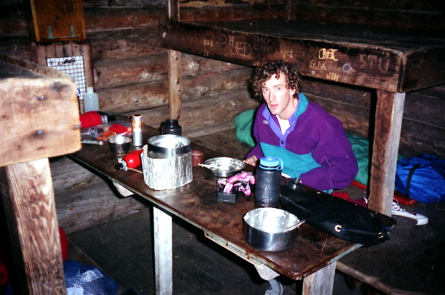
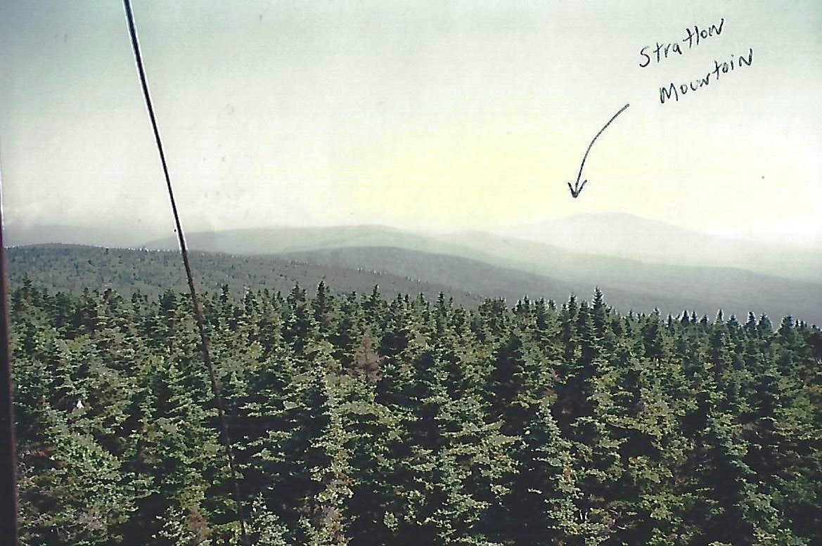
The highlight of the section is Stratton Mountain (3,940 feet), one of Vermont’s iconic peaks and a historic place for the Appalachian Trail. From the fire tower near the summit, hikers see expansive views across the Green Mountains, the Taconic Range, and on clear days, the Adirondacks and White Mountains. Benton MacKaye, who first published a proposal for the creation of the Appalachian Trail, is thought to have come up with the idea during a hike on this mountain. A cabin with a summer caretaker is near the summit for overnight use, and a side trail leads a short distance to the Stratton Ski Area where a gondola provides access to the base of the mountain.. Overall, this stretch is considered a step up in difficulty and solitude from southern Vermont, offering classic Green Mountain wilderness hiking with a mix of history and mountain scenery.
- click for more photos from this backpacking trip to Stratton Mountain: June 30, 1996
- click for a Daytimer report from this hike on the Appalachian Trail: June 30, 1996 (password required)
- click for a trail map of the Appalachian Trail in Vermont
- click for a trail map of the entire ~2200 mile Appalachian Trail
- click for the guidebook Appalachian Trail: New Hampshire – Vermont for more hikes in this area
- click for hikes on the previous and next sections of the A.T. in Vermont
- click for Appalachian Trail hiking and backpacking books
- click for more information on the Appalachian Trail
- click for more hiking and backpacking trips in the State of Vermont