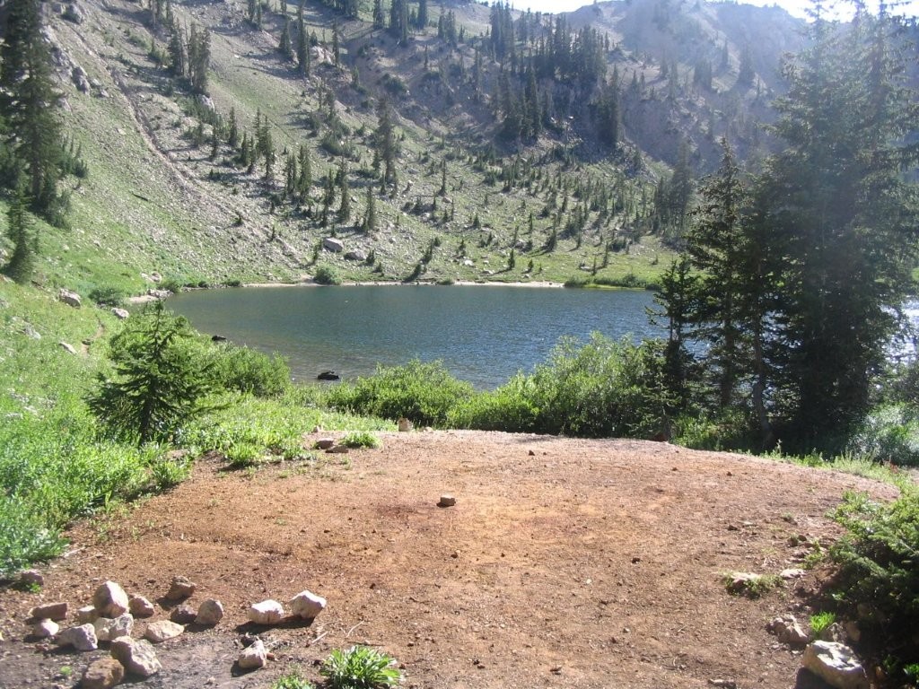
Lake Catherine
Wasatch National Forest
857 South Jordan Parkway West
South Jordan, UT 84095
(801) 999-2103
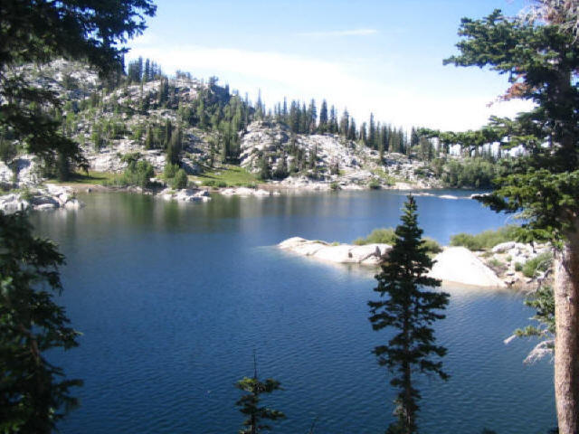
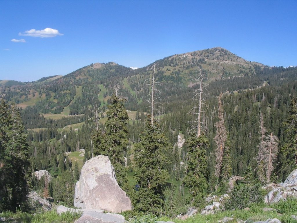
The Wasatch National Forest is one of the most scenic and historically significant mountain landscapes in the American West, encompassing rugged peaks, alpine basins, sparkling lakes, and dense conifer forests across northern Utah and a small portion of southwestern Wyoming. Originally established in 1906 during the early years of the U.S. Forest Service, the forest was created to protect critical watersheds, timber resources, and wildlife habitat as settlement along the Wasatch Front rapidly expanded. Today, the former Wasatch National Forest is managed as part of the Uinta-Wasatch-Cache National Forest, a vast public land system covering more than two million acres. The Wasatch section follows the impressive Wasatch Range, whose steep granite and quartzite peaks rise dramatically from the Salt Lake Valley, creating one of the most striking mountain skylines in the United States. Because of its close proximity to Salt Lake City and surrounding communities, this forest serves as an outdoor playground for millions of visitors each year. Hiking, backpacking, mountain biking, rock climbing, fishing, skiing, snowshoeing, and wildlife viewing are all popular activities, with many trailheads located less than an hour from downtown Salt Lake City. The forest also provides essential habitat for mule deer, elk, moose, black bears, mountain goats, and numerous bird species while protecting the mountain watersheds that supply much of northern Utah with clean drinking water.
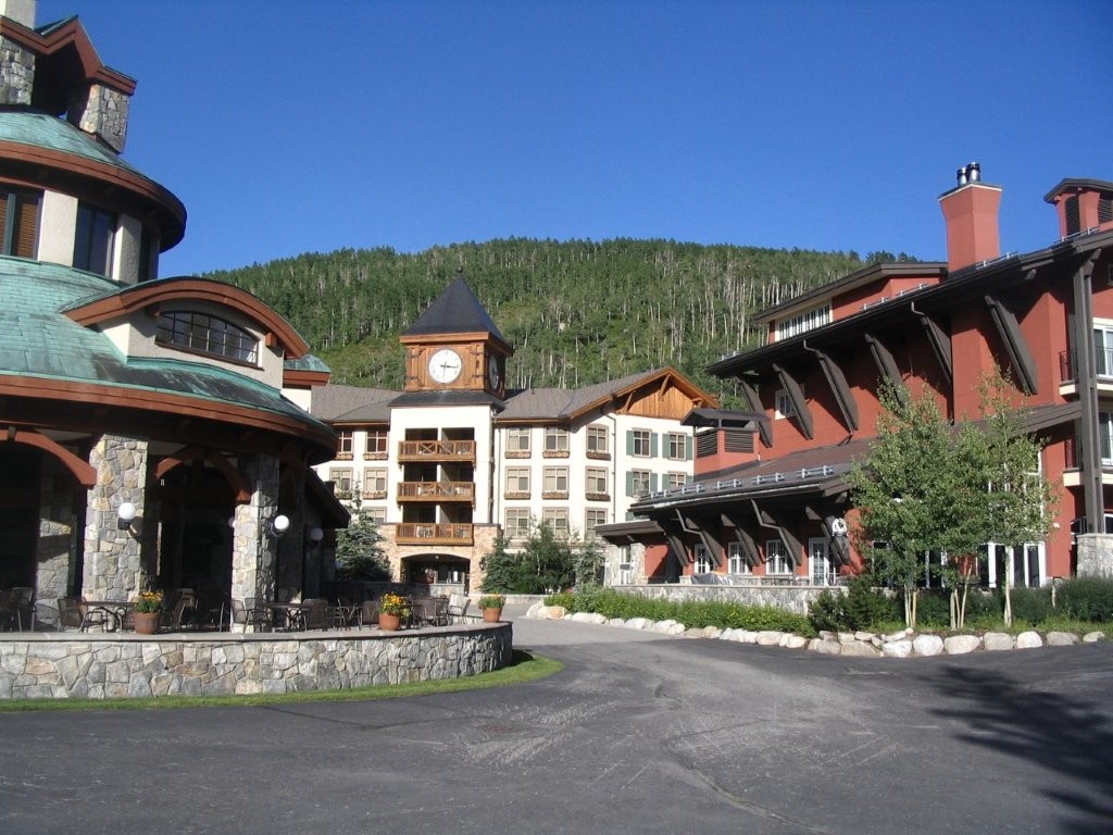
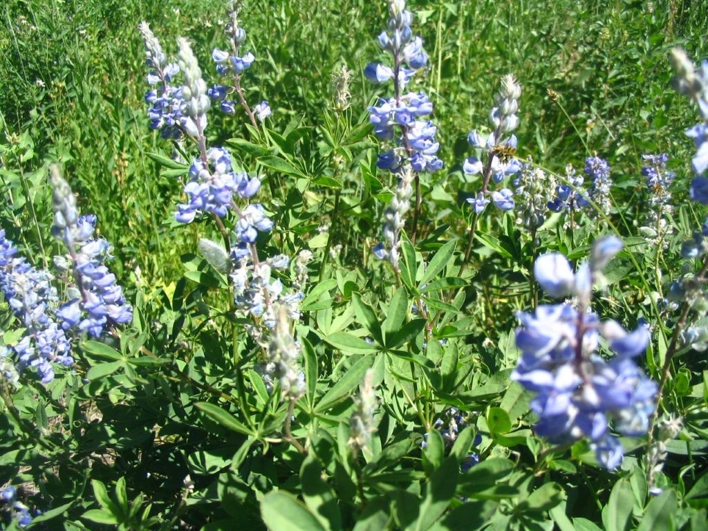
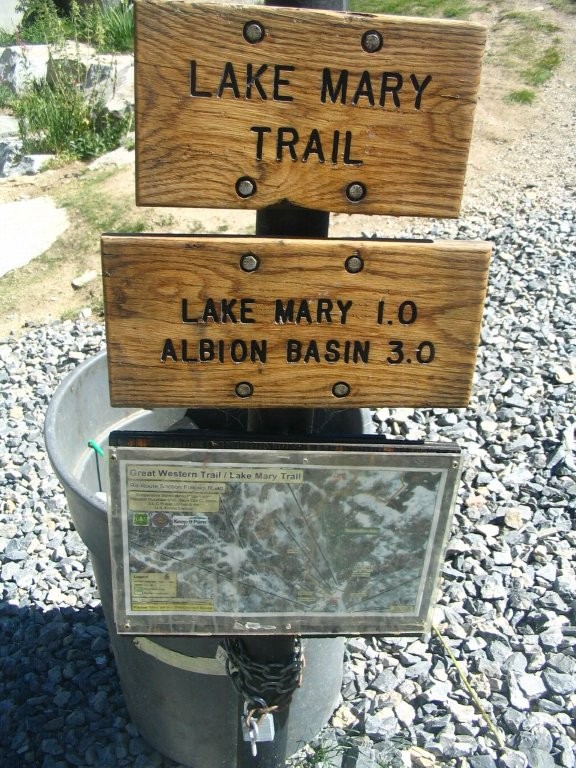
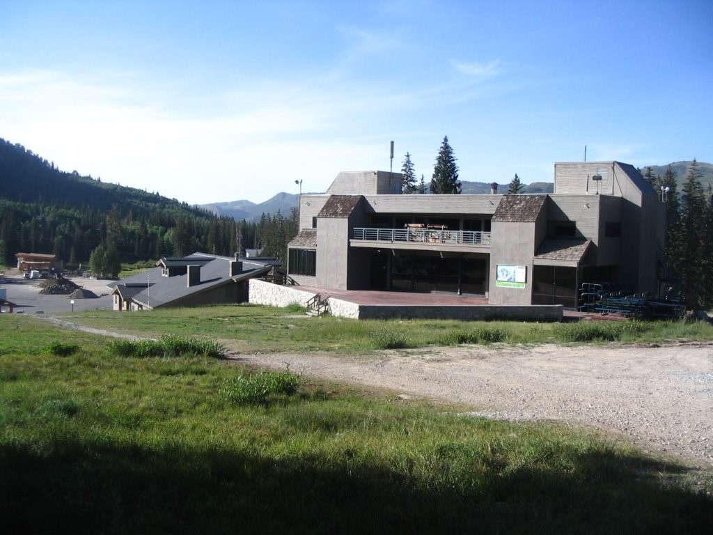
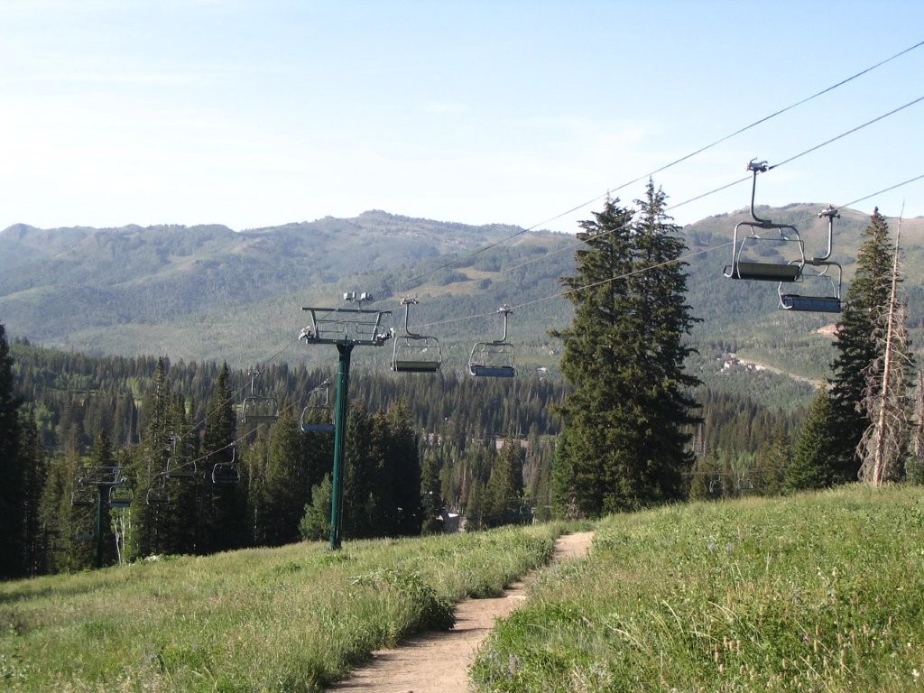
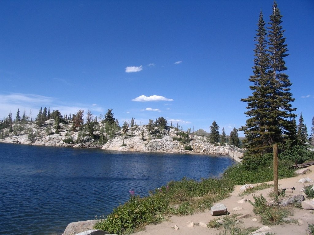
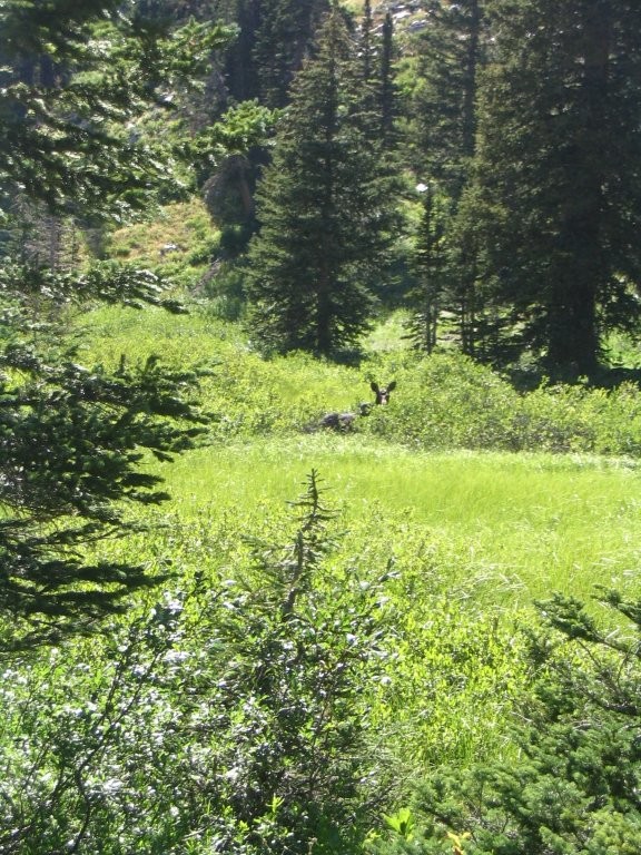
Lake Mary, Lake Katherine, Dog Lake, and the picturesque Albion Basin are among the most popular hiking destinations in the Wasatch Range, located just beyond the Brighton Ski Resort approximately 45 minutes southeast of Salt Lake City. Often referred to collectively as the “Brighton Lakes,” these high-elevation alpine lakes sit beneath rugged mountain peaks at elevations approaching 10,000 feet and are surrounded by evergreen forests, rocky cliffs, and colorful summer wildflowers. The hike begins near the Brighton ski lodge and climbs approximately 1,100 feet along a well-maintained trail that passes beneath ski chairlifts and crosses open ski runs before entering a cooler forest of spruce, fir, and aspen. After about one-half mile, a short spur trail branches off to Dog Lake, a quiet mountain lake that is well known for frequent moose sightings, particularly during the early morning and evening hours. Returning to the main trail, hikers continue upward to Lake Mary, where a small dam creates the largest of the Brighton Lakes. With its crystal-clear water reflecting the surrounding peaks, Lake Mary is often considered the most photogenic stop along the route and is a favorite destination for anglers, photographers, and families. Beyond the lake, the trail climbs more gently to beautiful Lake Katherine, where expansive mountain views become even more dramatic. The final destination is the bowl-shaped lake nestled within Albion Basin, one of Utah’s premier wildflower displays during mid-to-late summer. In July and early August, the basin is carpeted with colorful lupine, Indian paintbrush, columbine, elephant’s head, and dozens of other alpine wildflowers, making this one of the finest wildflower hikes in the state. Although the entire route is easily completed as a rewarding day hike, backpackers can also spend the night in designated backcountry campsites where permitted, enjoying spectacular sunsets, star-filled skies, and the peaceful solitude of Utah’s high alpine country.
- click for more photos from this hike near Brighton Ski Resort: August 19, 2008
- click for a trip report from this walk in the Wasatch National Forest: August 19, 2008 (password required)
- click for a trail map for this hike on the Lake Mary Trail
- click for a topo and profile map of this hike to Lake Catherine (password required)
- click for a hike at the nearby Deer Valley Ski resort in September 2007
- click for the guidebook Hiking Utah with more hikes in this area
- click for a trail map from the North and South Wasatch National Forest
- click for links to other outdoor books and magazines
- click for more hikes in the State of Utah