Mount Collins
Great Smoky Mountains National Park
107 Park Headquarters Road
Gatlinburg, TN 37738
(865) 436-1200

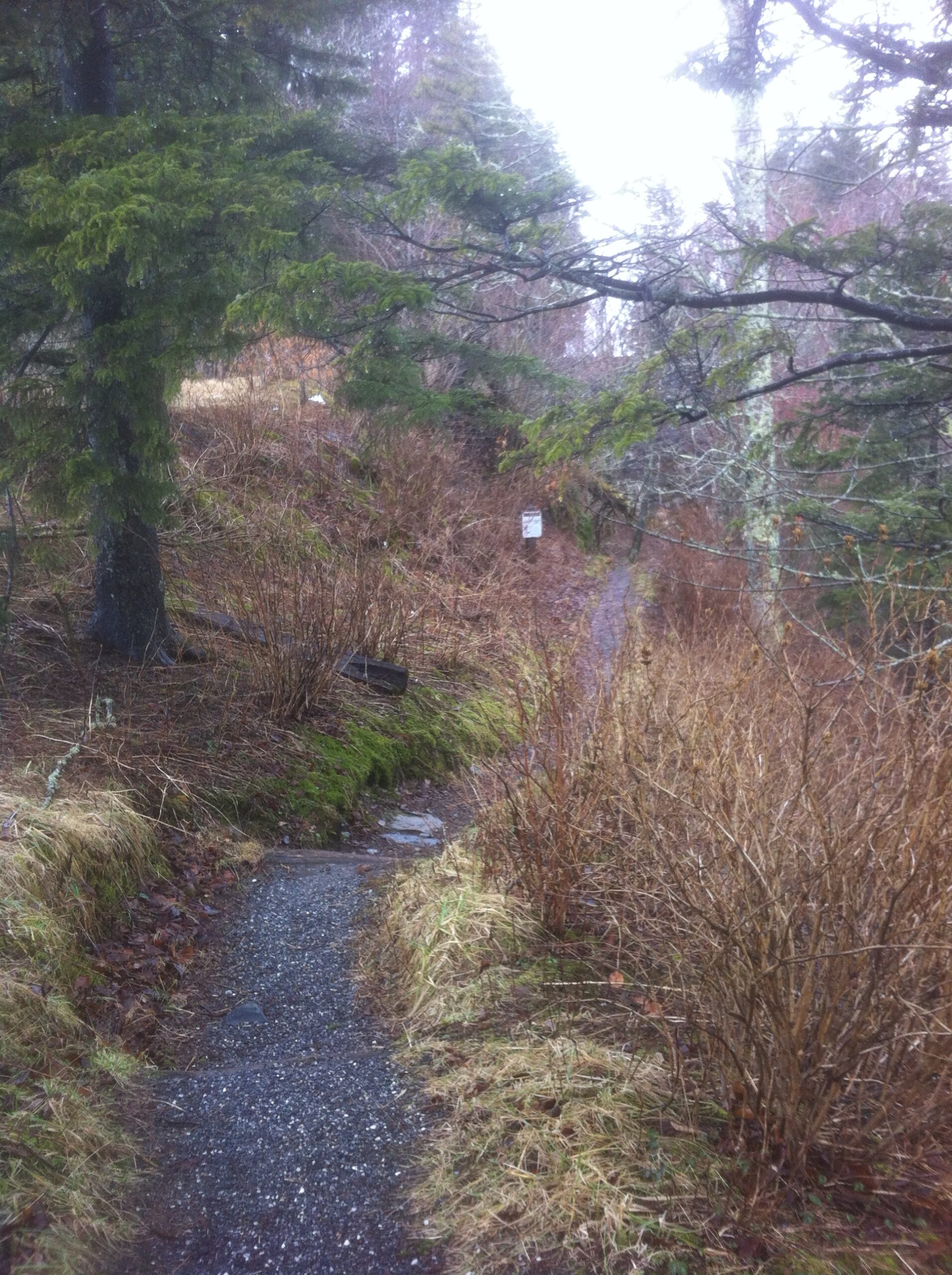
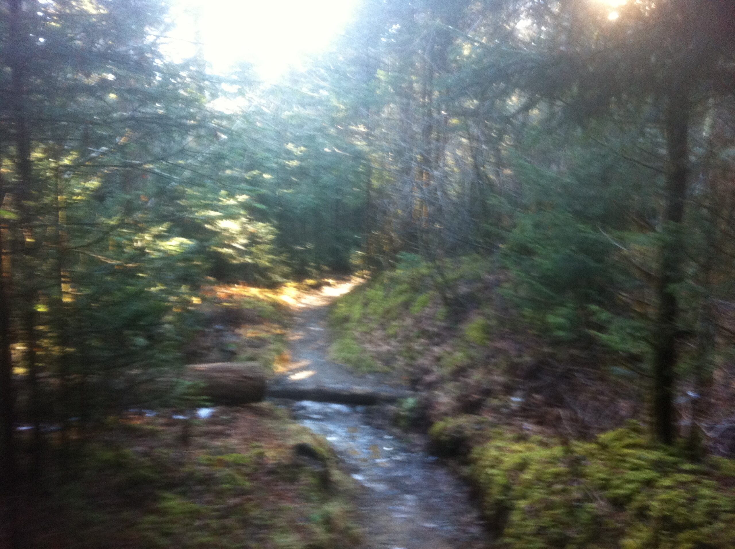
The Great Smoky Mountains National Park stretches across 800 square miles, with nearly 95 percent of its land covered in forest. These ancient mountains, which are among the oldest on Earth, are built from rocks more than 200 million years old with their jagged peaks worn down into the soft, rounded ridges that are present today. These ridgelines are traversed by the Appalachian Trail which climbs to its highest point at Clingmans Dome (6,643 feet) and straddles the border of North Carolina and Tennessee in the park. From the ridges you will often see a distinctive blue haze that lingers over the valleys. It is a natural mist that is created when plants release water vapor and organic compounds into the air which gives the area its trademark “Smoky” Mountains name. Unfortunately, the majority of the people that visit the park never visit the backcountry and see some of the best wilderness in the Southeastern U.S.
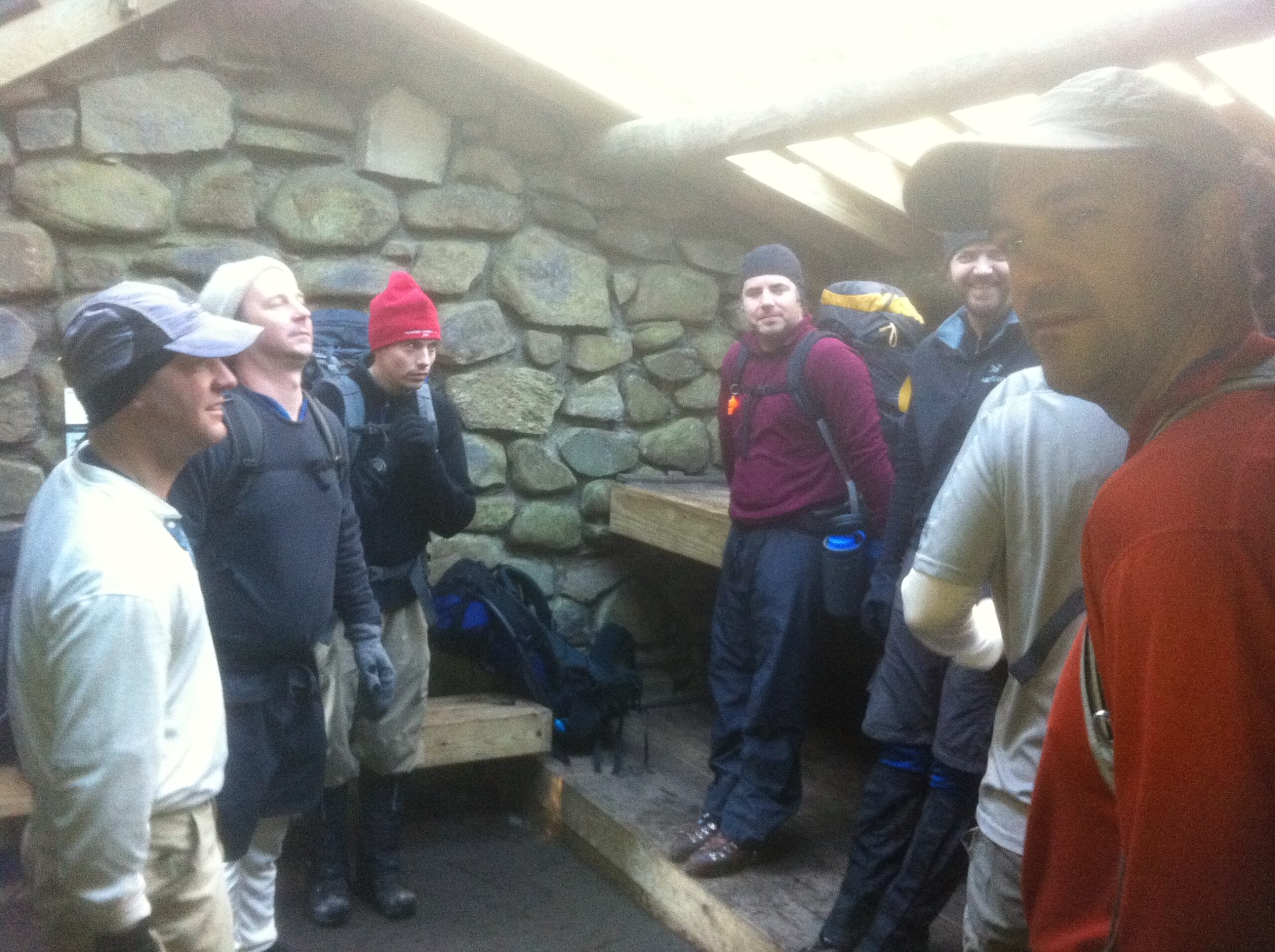
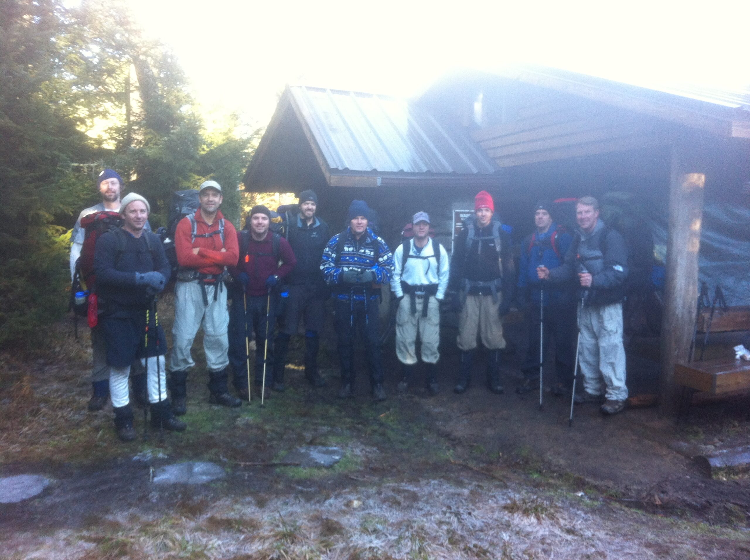
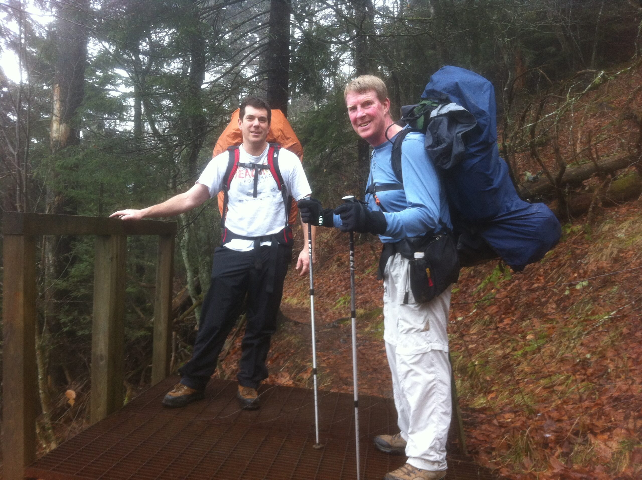
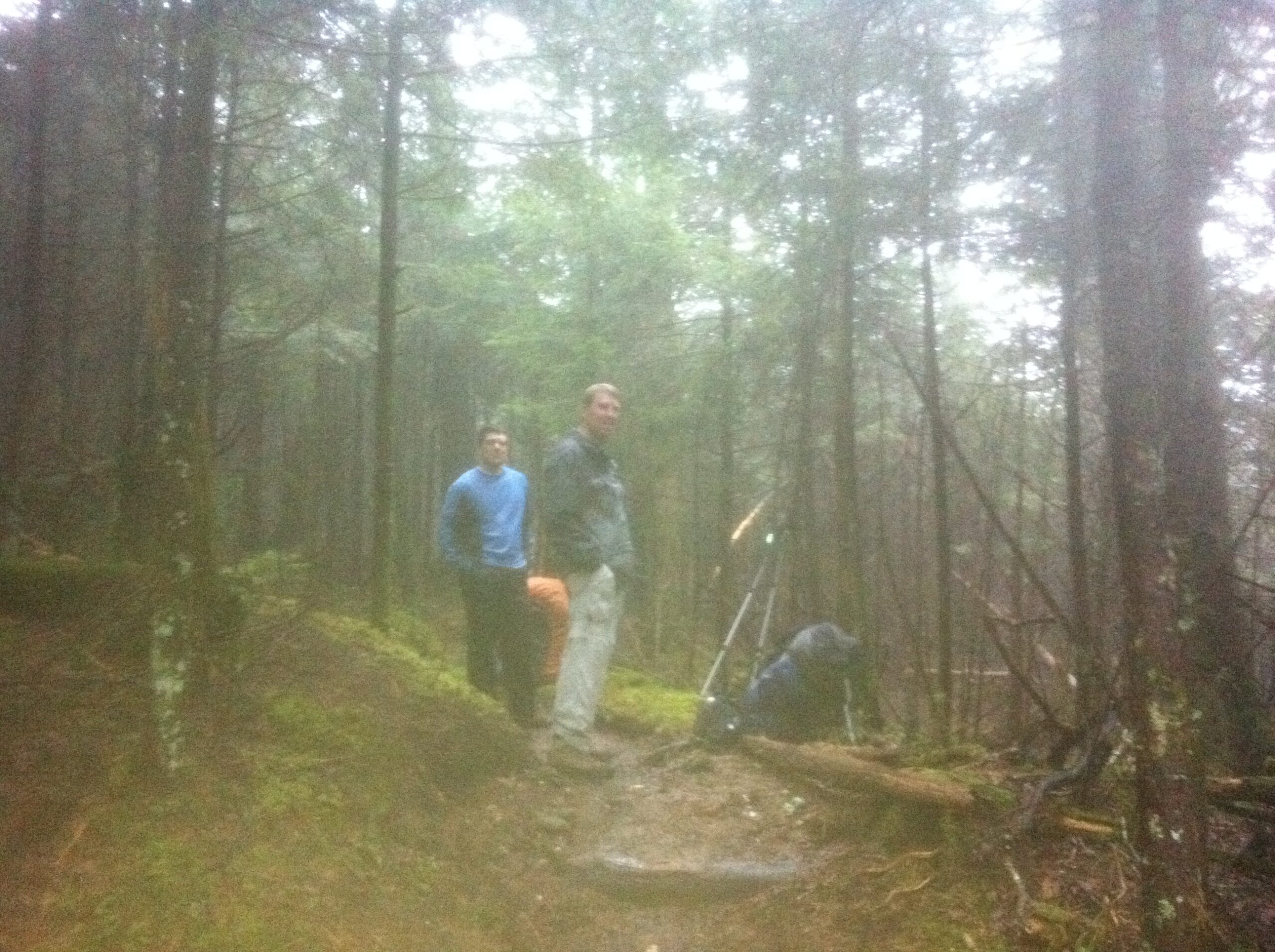
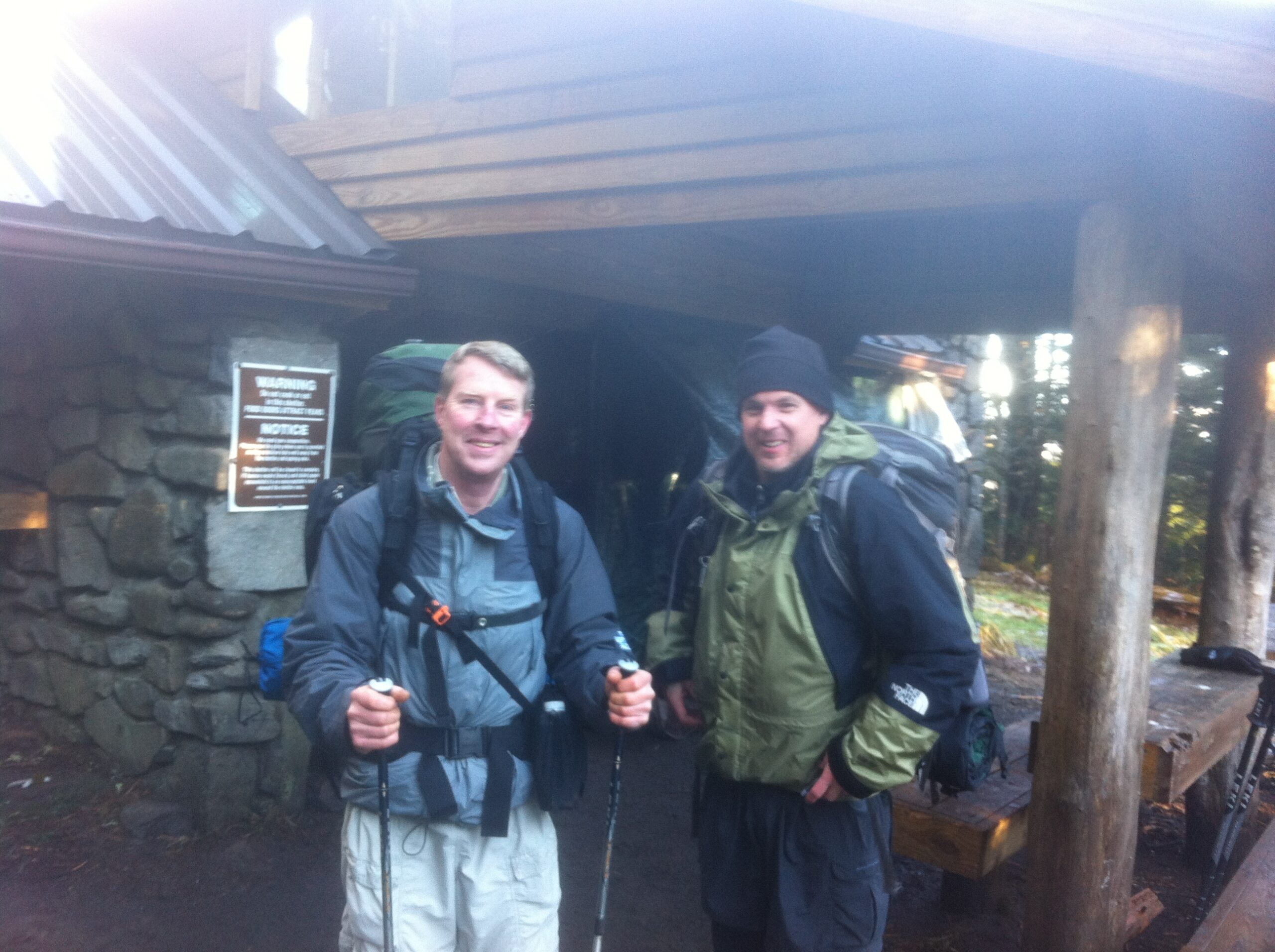
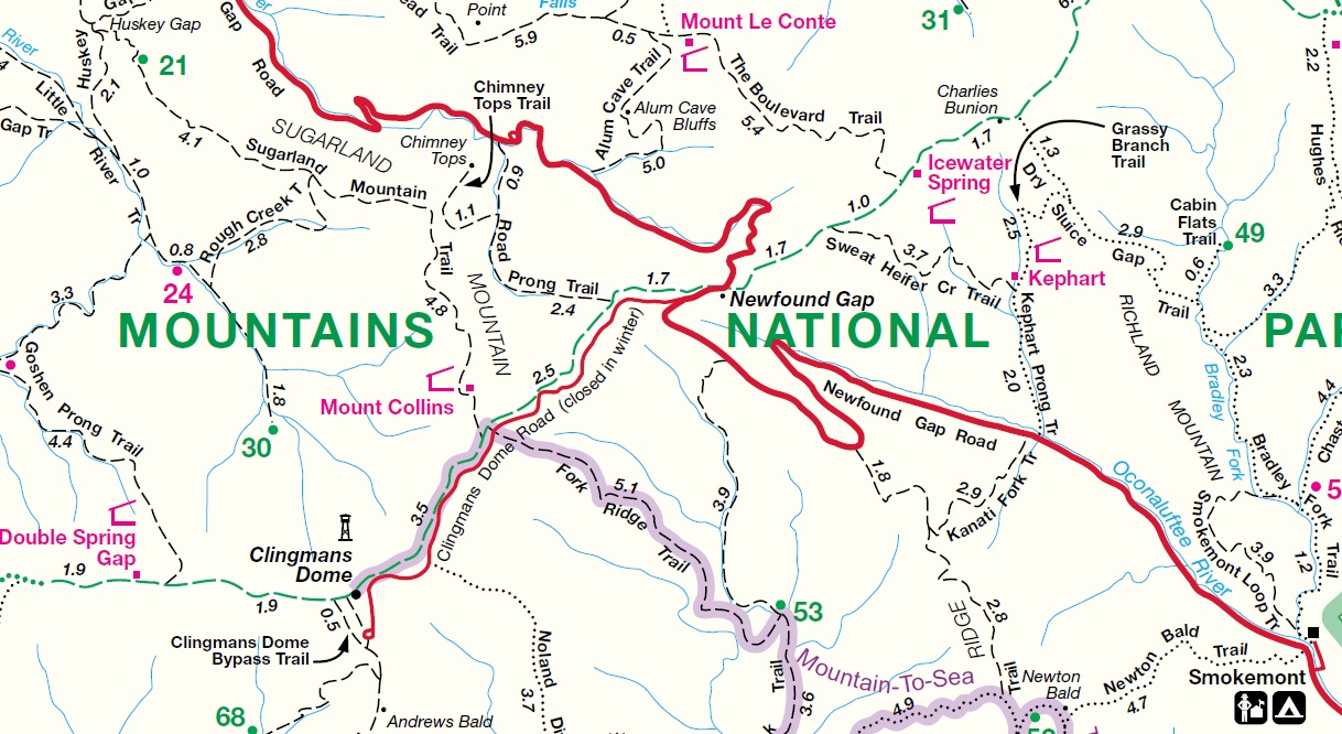
Mount Collins is named after Robert Collins, an Oconaluftee, North Carolina resident who guided Arnold Guyot (the first to measure the mountain’s height) across the crest of the Smokies in the late 1850s. The mountain has an elevation of 6,188 feet and is less than three trail miles from the highest point on the Appalachian Trail at Clingman’s Dome. On this hike, we started at Newfound Gap and climbed for five miles and approximately 2000 feet to the Mount Collins Shelter via the Appalachian Trail. The shelter is situated in a spruce-fir forest and sleeps about twelve on two platforms in the original stone structure. A porch extension was added to the original building in time for our trip in 2012.
- click for a photo journal from this hike starting at Newfound Gap in January 2012
- click for more photos from our backpacking trip to Mount Collins Shelter: January 21, 2012
- click for a trip report from this backpacking trip in the Smokies: January 21, 2012 (password required)
- click to purchase a Trails Illustrated map of Great Smoky Mountains National Park
- click for a road and facilities map of Great Smoky Mountains National Park
- click for a trail map of Great Smoky Mountain National Park
- click for a profile map and details of this hike to Mount Collins and Clingman’s Dome (password required)
- click for a topo and trail map from a backtrack hike from Newfound Gap to Clingman’s Dome (password required)
- click for a list of all our Klondike hikes that date back to the late 90’s (password required)
- click for access to the guidebook Trail By Trail: Backpacking In The Smoky Mountains which has details on this destination
- click for more information on the Appalachian Trail