Chattooga River (King Creek Falls to Burrell’s Ford)
Sumter National Forest
Andrew Pickens Ranger District
112 Andrew Pickens Circle
Mountain Rest, South Carolina 29664
(864) 638-9568

The Chattooga River begins in the mountains of North Carolina as small rivulets, nourished by springs and abundant rainfall, high on the slopes of the Appalachian Mountains. The water drops a half mile in elevation over fifty miles as it winds its way to Lake Tugaloo where the river ends between South Carolina and Georgia. The Chattooga is one of the few remaining free-flowing streams in the Southeast, and the setting is primitive with dense forests and undeveloped shorelines on most of its route. On May 10, 1974, Congress designated the Chattooga a Wild and Scenic River – a honor reserved for rivers with outstanding scenery, recreation, wildlife, geologic, and cultural values.
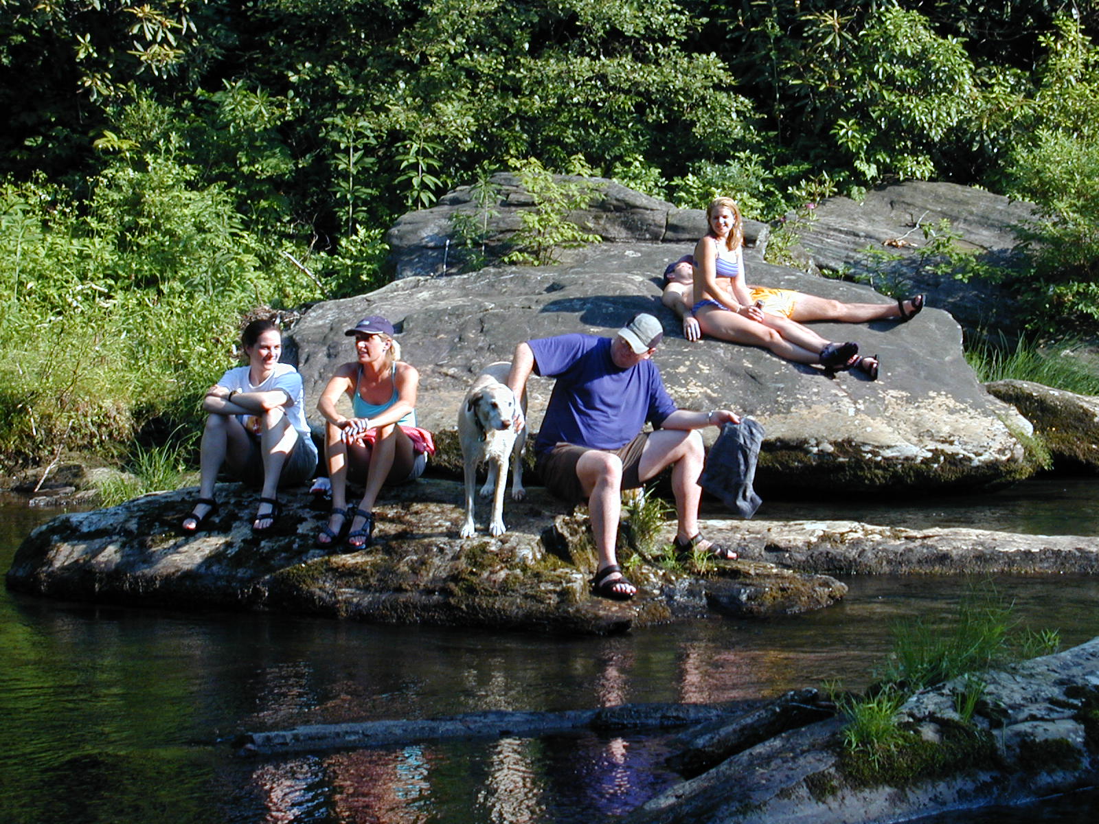
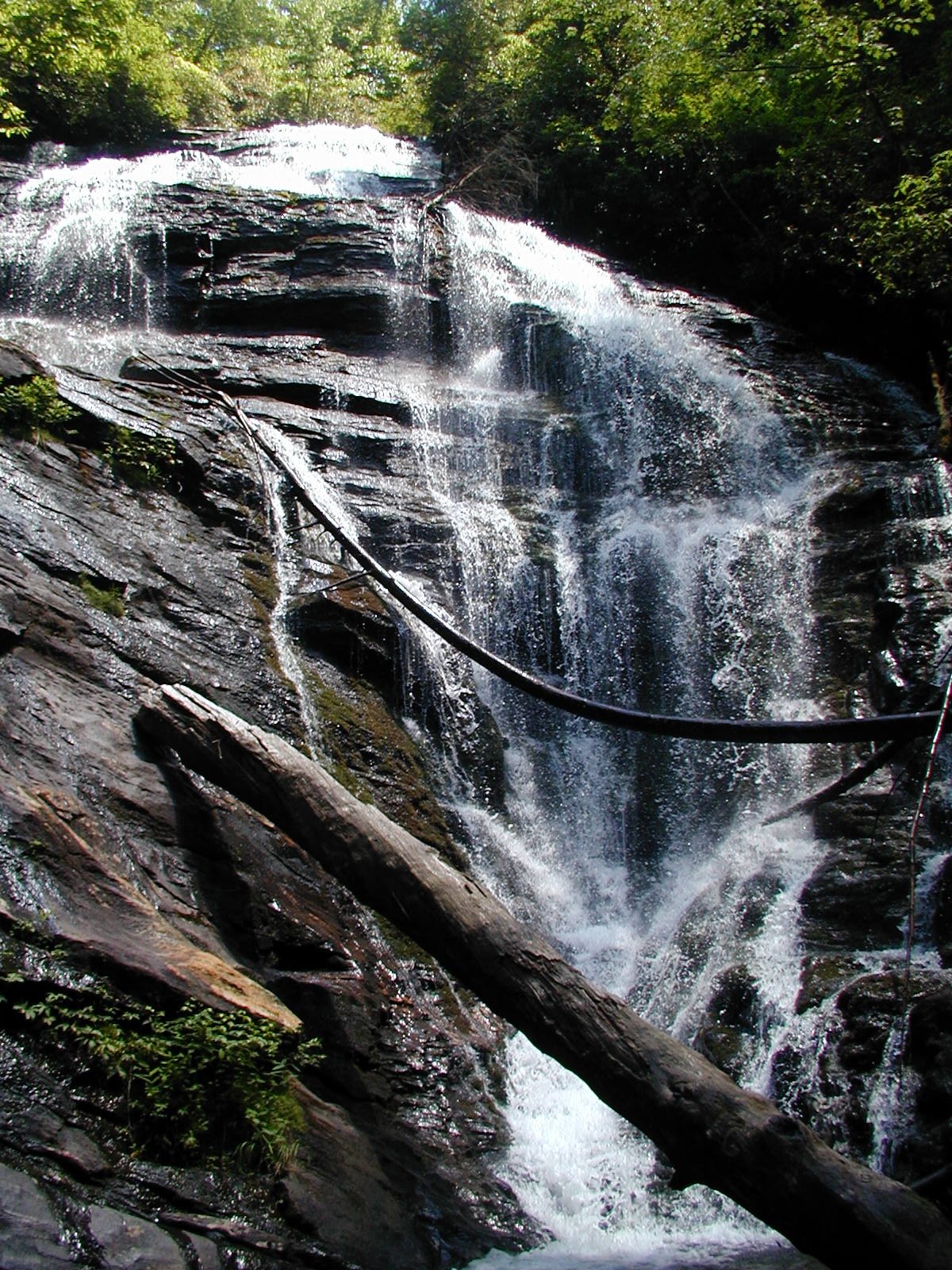
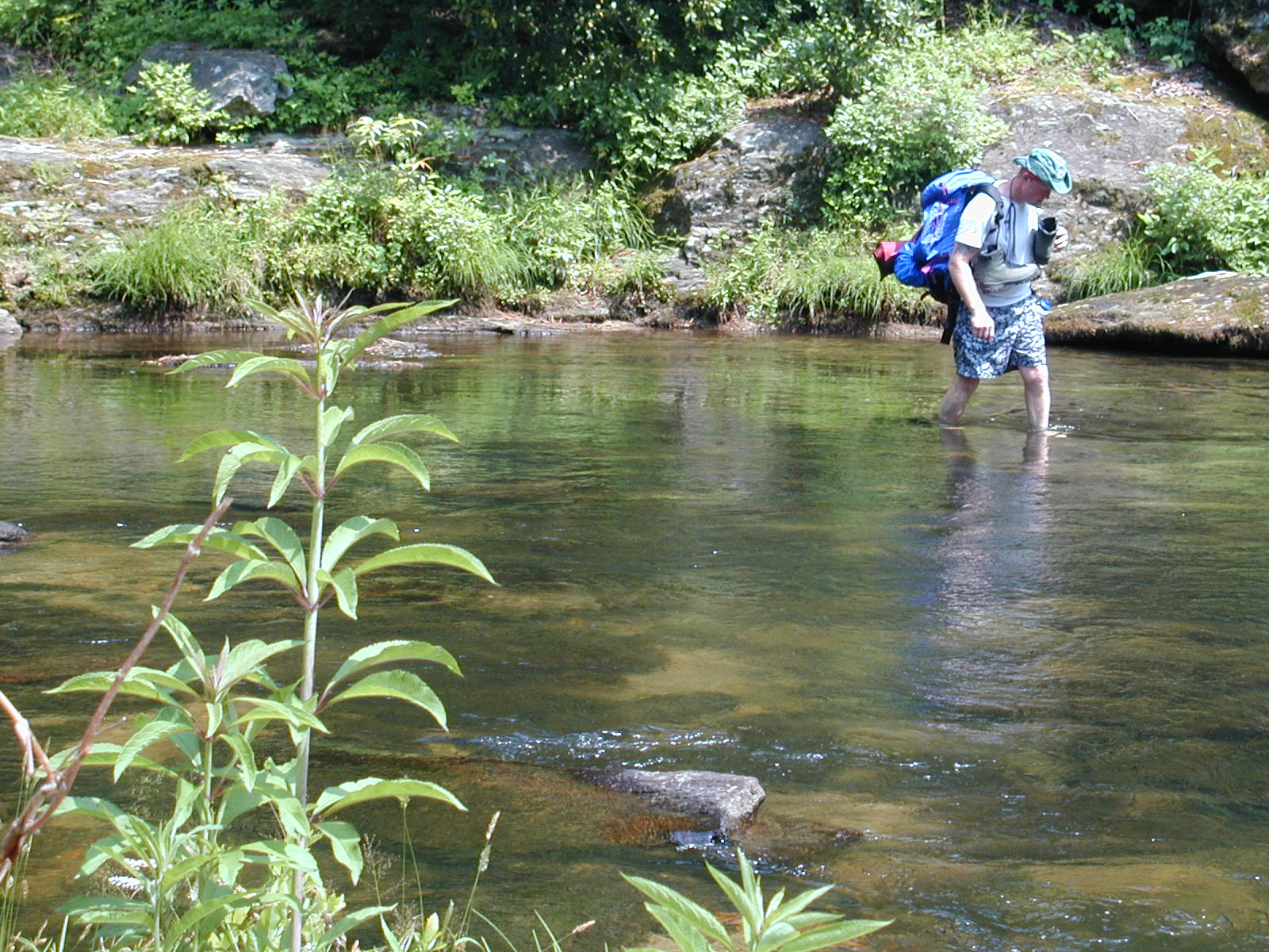
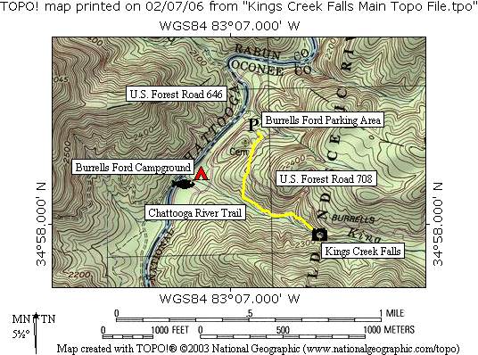
The Chattooga River Trail is a forty mile route that borders the states of North Carolina, South Carolina, and Georgia and follows the banks of the Chattooga National Wild And Scenic River from Burrell’s Ford to US 76. The hike to King Creek Falls is an easy one that follows the river southbound from the Burrells Ford Parking Area and picks up a spur trail that leads about 0.3 miles to the falls. Kings Creek drops 60-70 feet into a U-shaped cove that has a small beach and a nice swimming hole at the base of the falls. There are some nice campsites along the river and they are a short distance from the falls, or you can backtrack to the designated campsites which are located near the Burrell Ford parking area.
- click to see trail photos from this hike to Kings Creek Falls: June 10, 2000
- click to view a detailed trip report for this backpacking trip: June 10, 2000 (password required)
- click for a Trails Illustrated map of this section of the Chattooga River Trail
- click to view a map of the intersecting trails at the Burrell’s Ford Parking area (password required)
- click to see a detailed map, and a profile map of this hike near Burrell’s Ford Campground (password required)
- click for a topographical and profile map to Kings Creek Falls (password required)
- click to view a trail map of the Chattooga River from Burrell’s Ford to Russell Bridge (password required)
- click for more information on the Chattooga River Trail
- click for Chattooga River Trail hiking and backpacking books
- click for The Chattooga National Wild And Scenic River guidebook which has details on this destination
- click for other Georgia hiking and backpacking books
- click for other hikes on the Chattooga River Trail in Georgia