Foothills Trail (Laurel Valley to Upper Whitewater Falls)
Foothills Trail Conference
P.O. Box 3041
Greenville, SC 29602
864.467.9537
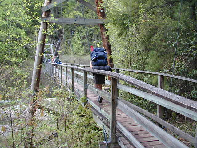
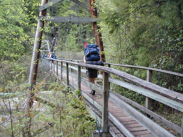
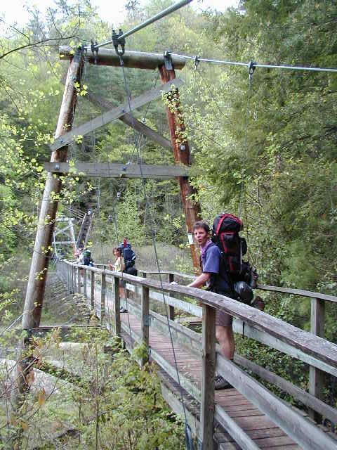
The Foothills Trail is a nearly 100-mile long-distance hiking trail that stretches across the rugged Blue Ridge Escarpment of northwestern South Carolina and western North Carolina. The trail begins at Table Rock State Park and travels westward to Oconee State Park, crossing some of the most scenic and remote terrain in the Southeast along the way. Designed specifically as a wilderness footpath, the Foothills Trail traverses steep mountain ridges, deep river gorges, hardwood forests, cascading waterfalls, and countless mountain streams. One of the highlights of the route is access to Sassafras Mountain, the highest point in South Carolina at 3,553 feet, where expansive views stretch across the southern Appalachian Mountains. The trail is known for its constant elevation changes and abundance of water crossings, creating a more rugged and adventurous hiking experience than many other trails in the region. Along the route, hikers encounter remote backcountry campsites, suspension bridges, dramatic overlooks, and sections of dense forest that feel remarkably isolated despite being only a few hours from major southeastern cities. Because of its scenery, waterfalls, and relatively mild climate compared to higher Appalachian ranges farther north, the Foothills Trail has become one of the premier long-distance backpacking destinations in the Southeast.
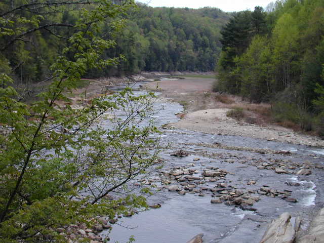
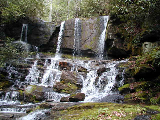
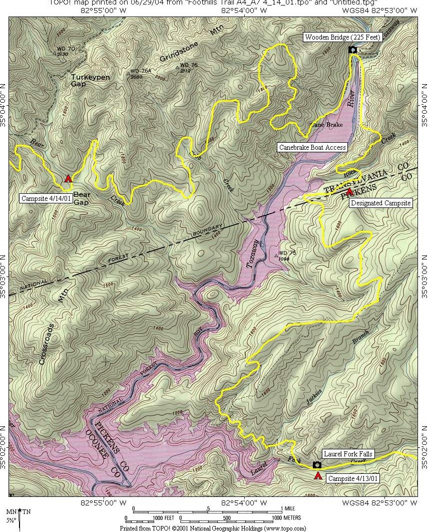
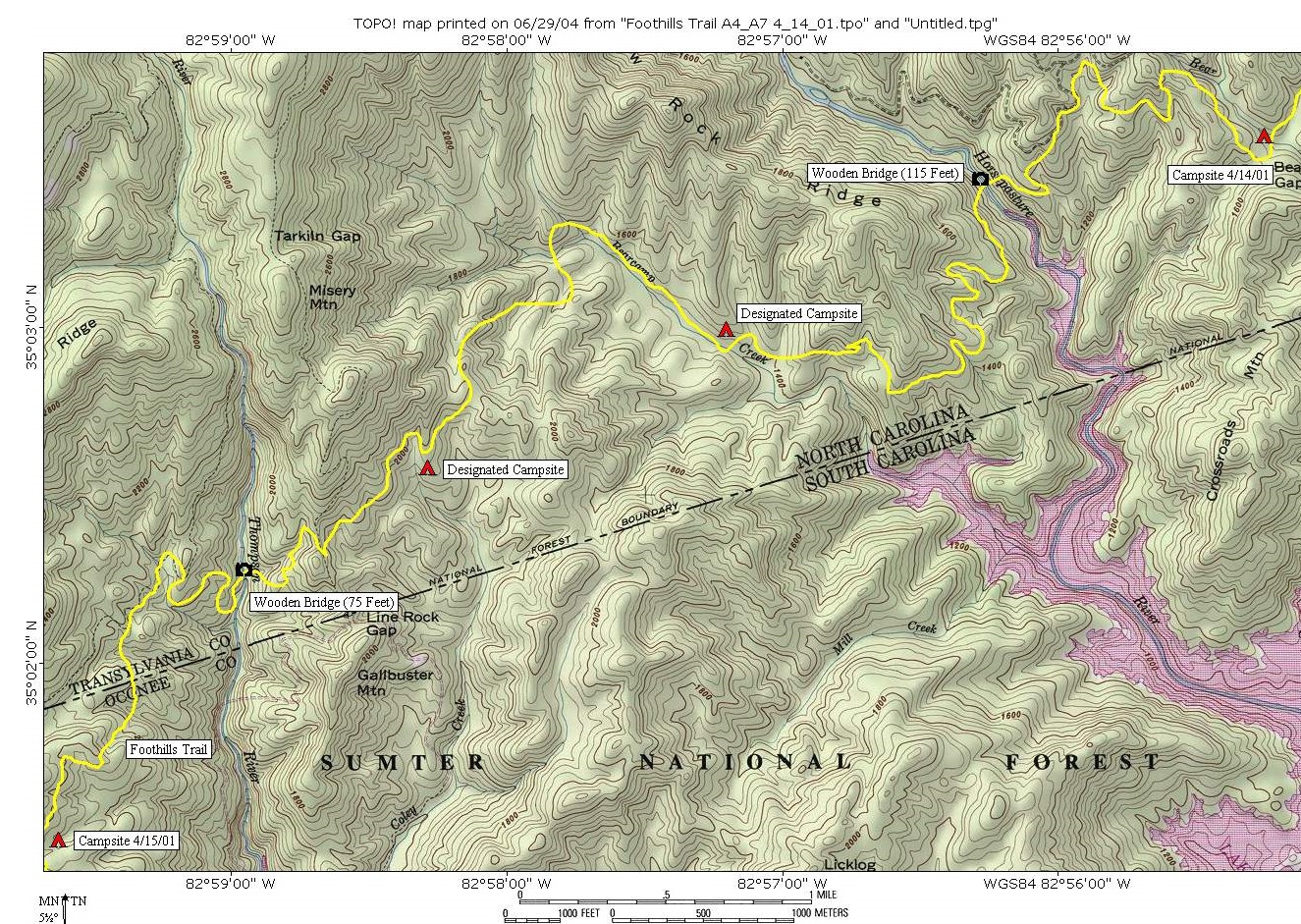
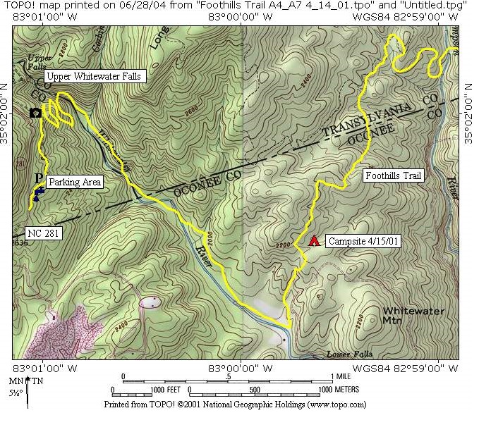
The stretch of the Foothills Trail between Laurel Fork Creek and the Whitewater River is commonly known as the “Gorges Section” because it passes through a landscape of steep ravines, powerful rivers, and rugged escarpment terrain. This portion of the trail was originally constructed and maintained by Duke Power Company as part of a federal licensing agreement tied to the development of Lake Jocassee and the surrounding hydroelectric projects. The agreement helped preserve public recreational access to the remote mountain landscape while protecting much of the surrounding wilderness from development. Today, the Gorges Section is widely considered one of the most spectacular portions of the entire Foothills Trail due to its dramatic scenery and challenging terrain. Hikers travel through lush forests filled with rhododendron and mountain laurel while crossing clear streams and descending into deep river valleys carved into the escarpment. Numerous waterfalls are located throughout the area, and heavy rainfall helps maintain the dense vegetation and wild character of the landscape. Over the years, management and maintenance responsibilities for the trail corridor have involved partnerships between state agencies, federal land managers, conservation organizations, and volunteers who continue working to preserve access to one of the Southeast’s most remarkable backcountry hiking routes.
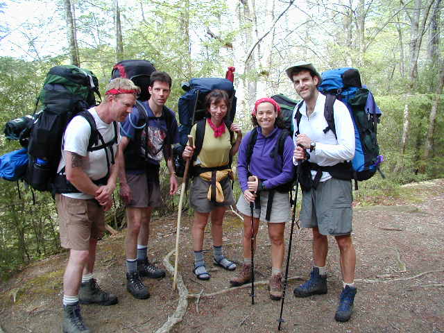
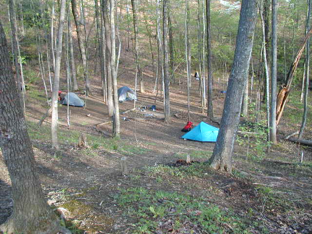
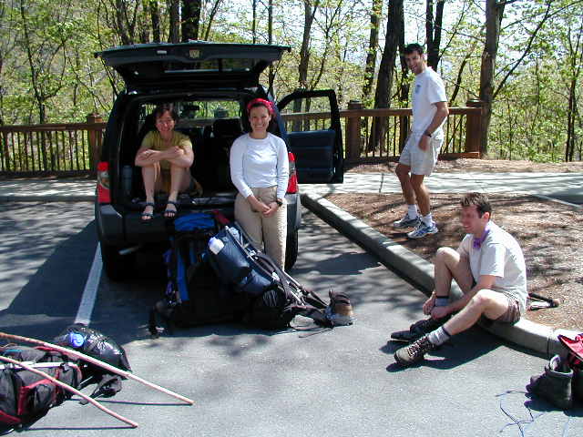
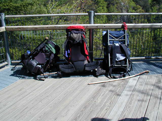
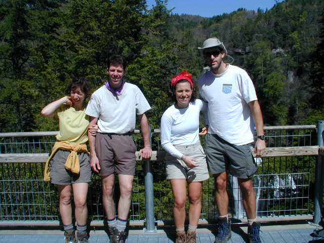
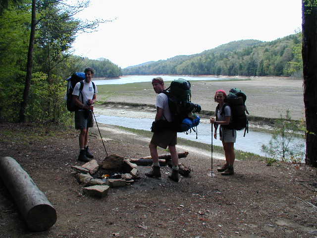
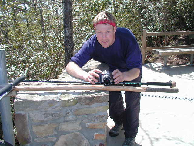
- click for more photos from this hike on the Foothills Trail: April 14, 2001
- click for a detailed trip report of backpacking in the Gorges Area: April 14, 2001 (password required)
- click for an overview map of the Foothills Trail (password required)
- click for the official Foothills Trail map from the Foothills Trail Conference
- click for a topographical & profile map of the entire Foothills Trail (password required)
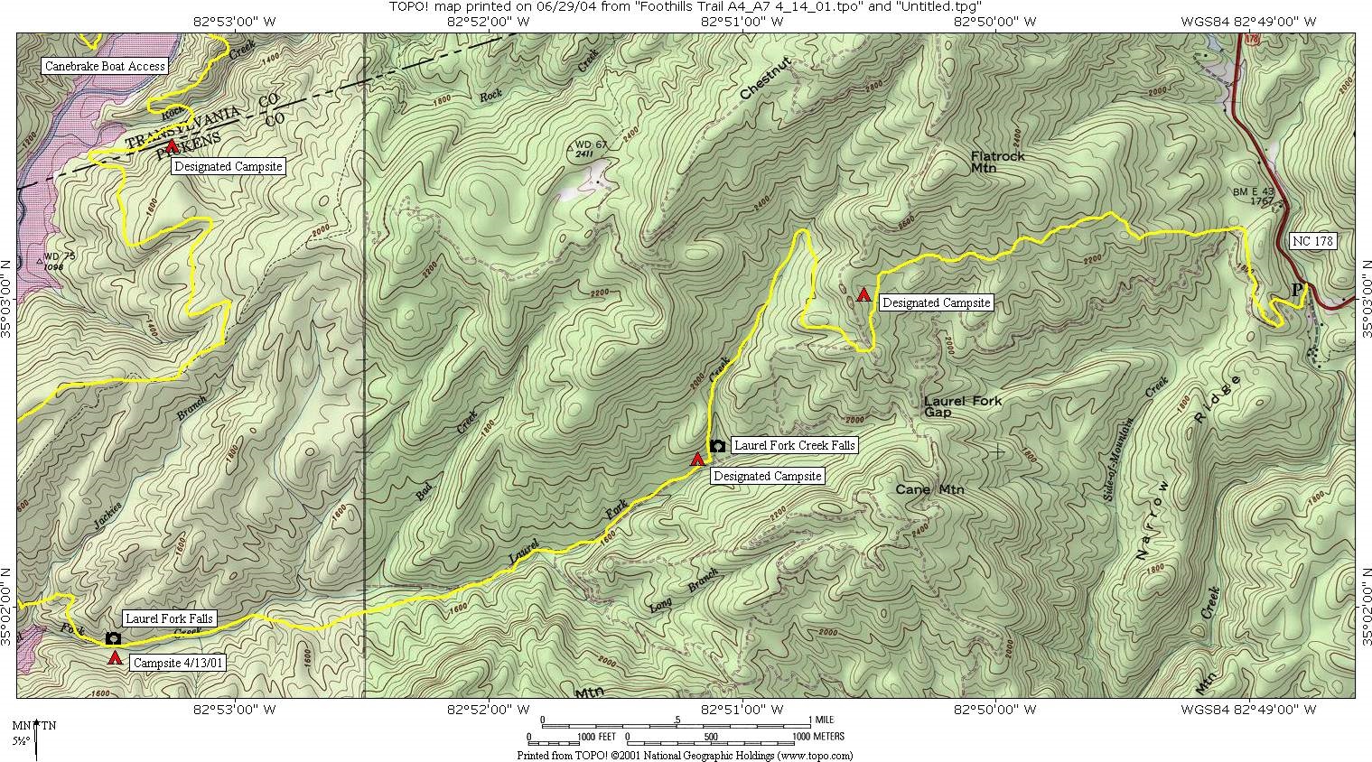
- click for a topo map from day one, day two, day three, and day four of this section A4 to A8,
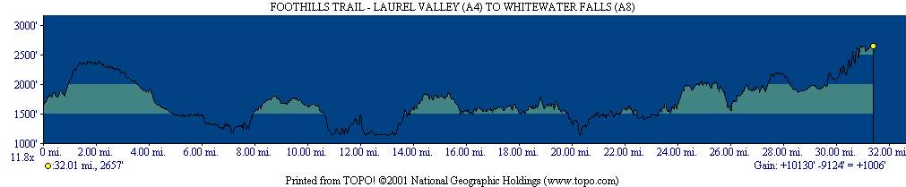
- click for a profile map of this section from Laurel Valley to Whitewater Falls (password required)
- click for a guidebook for hiking the Foothills Trail
- click for more information on the Foothills Trail
- click for Foothills Trail hiking and backpacking books
- click for South Carolina hiking and backpacking books
- click for other hikes on the Foothills Trail in South Carolina