Ellicott Rock
Sumter National Forest
Andrew Pickens Ranger District
112 Andrew Pickens Circle
Mountain Rest, South Carolina 29664
(864) 638-9568

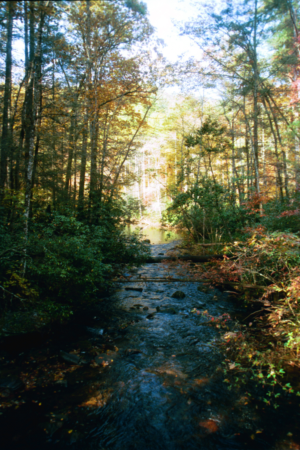
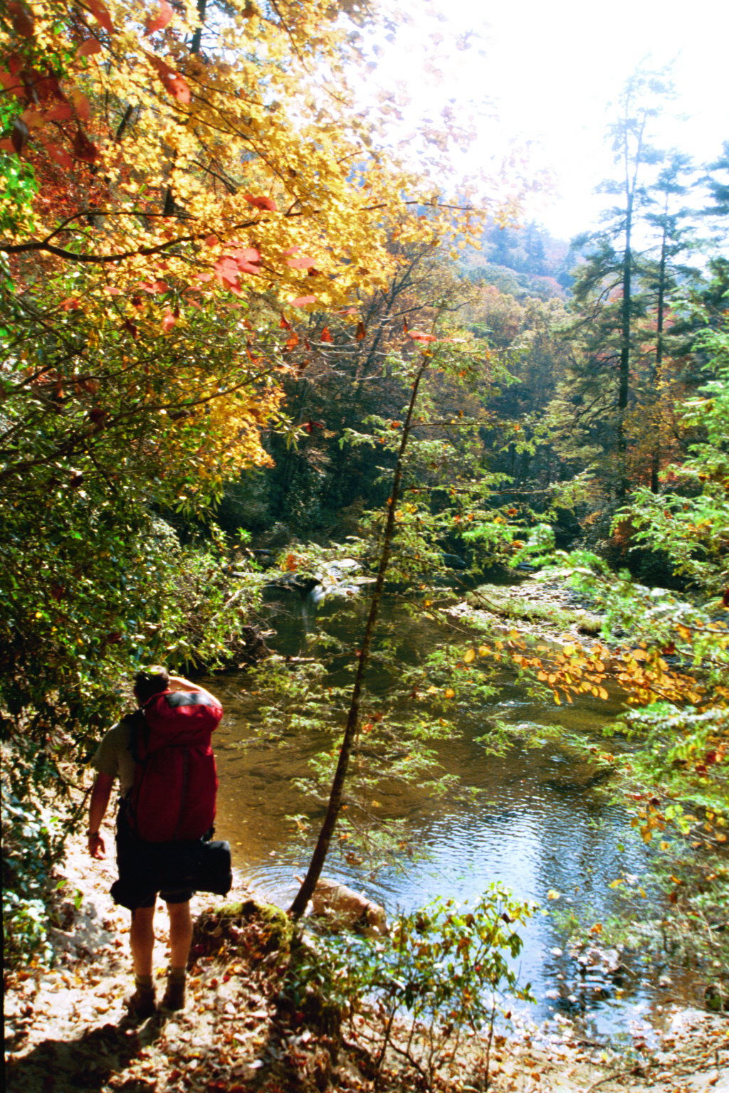
The Chattooga River begins as a network of springs, seeps, and mountain streams high in the southern Appalachian Mountains of North Carolina before descending nearly 2,600 feet over its fifty-mile journey to Lake Tugaloo. As one of the Southeast’s few remaining free-flowing rivers, the Chattooga is renowned for its pristine waters, rugged gorges, dense forests, and largely undeveloped shoreline. In 1974, Congress designated the river as the National Wild and Scenic Rivers System Designation of the Chattooga River, helping preserve its natural character and outstanding recreational opportunities. Running alongside much of the river is the Chattooga River Trail, a roughly 40-mile route that follows the river corridor from Burrell’s Ford to U.S. 76 while briefly sharing sections with the Foothills Trail and Bartram Trail. Popular with hikers, backpackers, anglers, and paddlers, the trail provides continuous access to one of the most scenic river corridors in the southern Appalachians.
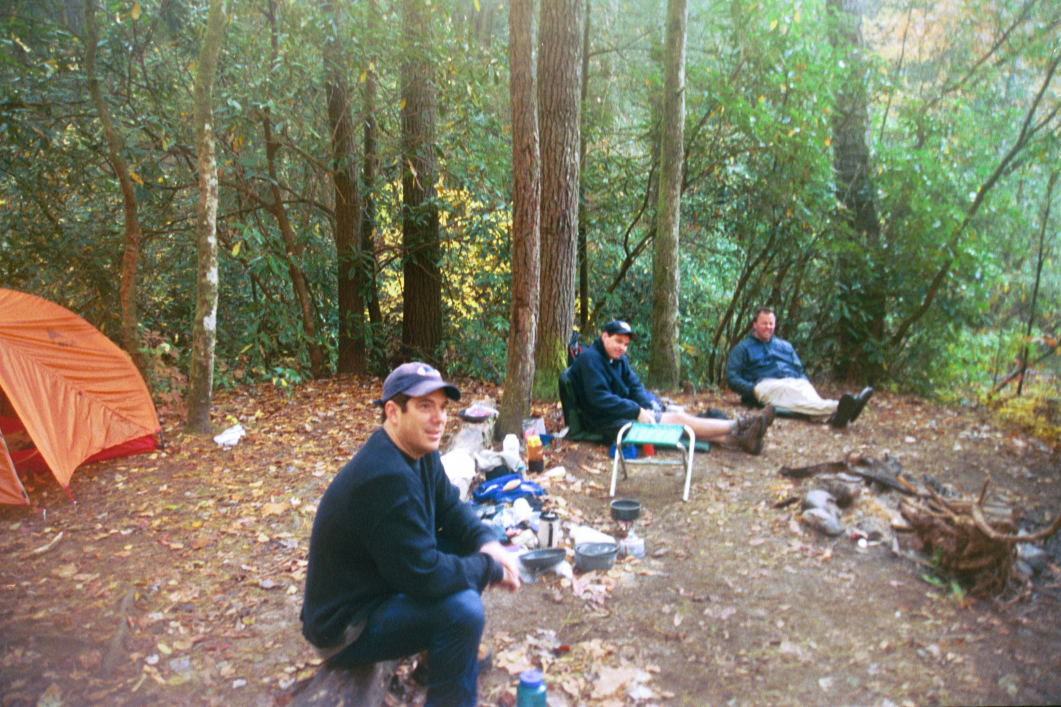
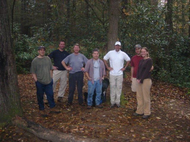
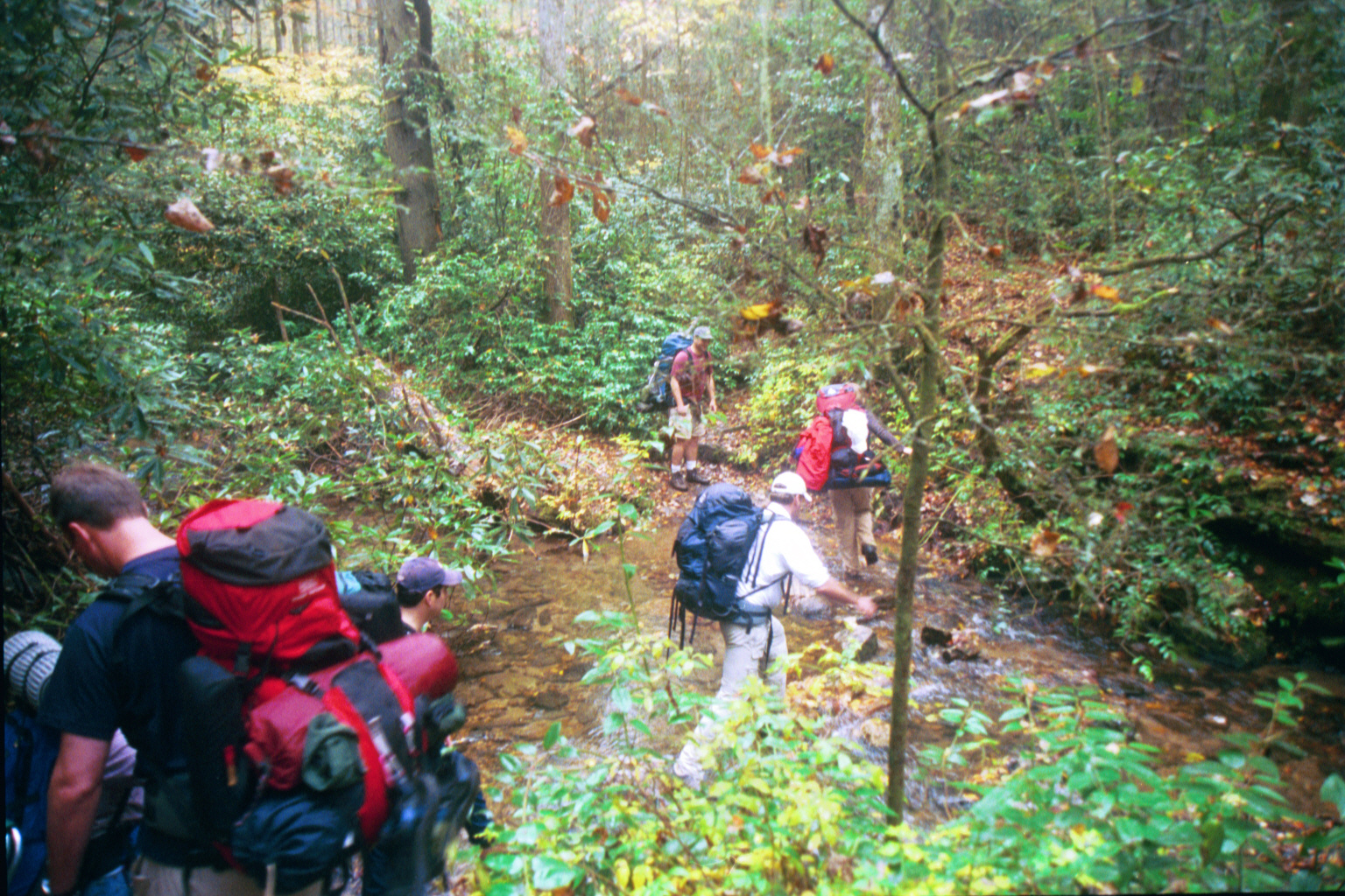
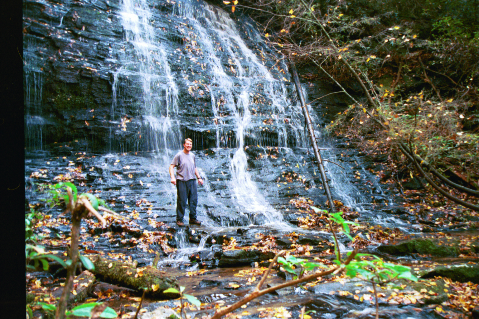
This hike explores the northernmost section of the Chattooga River Trail and leads to the historic landmark known as Ellicott Rock. In 1811, surveyor Andrew Ellicott was commissioned to establish part of the boundary between Georgia and North Carolina, marking the completion of his work by chiseling a small inscription into a riverside rock. Today, the marker lies within the 9,012-acre Ellicott Rock Wilderness, a protected area that spans all three states and forms part of the larger Chattooga Wild and Scenic River Corridor. The hike begins near Burrell’s Ford and follows the Chattooga River Trail for approximately three miles to the boundary marker, passing numerous riverside campsites, fishing holes, and swimming areas along the way. A worthwhile side trip leads to the picturesque Spoonauger Falls, a beautiful waterfall located just off the main trail near the trailhead. With its combination of river scenery, wilderness solitude, historical significance, and opportunities for camping and recreation, this section of the Chattooga River Trail is one of the most rewarding destinations in the southern Blue Ridge Mountains.
- click for a trip report from this hike to Ellicott Rock: November 5, 2005 (password required)
- click for a topographical map of this section of the Chattooga River Trail
- click for a trail map of the intersecting paths at the Burrell’s Ford Parking area (password required)
- click for a trail map of the Chattooga River from Bad Creek to Burrell’s Ford (password required)
- click for a detailed map or profile map of this hike to Ellicott Rock (password required)
- click for another hike to Ellicott Rock in January 2000
- click for The Chattooga National Wild And Scenic River which has hiking details on this destination
- click for more information on the Chattooga River Trail
- click for Chattooga River Trail hiking and backpacking books
- click for more information on the Foothills Trail
- click for Foothills Trail hiking and backpacking books
- click for the guidebook Best Hikes With Dogs Georgia And South Carolina which has details on this area
- click for other Georgia hiking and backpacking books
- click for other hikes on the Chattooga River Trail in Georgia