Dillon Lake (via Licking Bend Trail)
Dillon State Park
5265 Dillon Hills Drive
Nashport, OH 43830-9568
Park Office (740) 453-4377
Camp Office (740) 452-1083
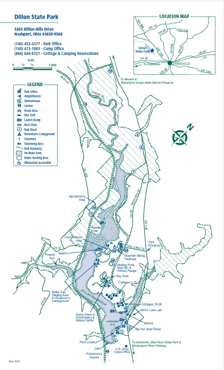
Dillon State Park is located in in Muskingum County, a short distance from Zanesville, Ohio. The area possesses diverse and interesting natural features resulting from the unique properties of the Black Hand Sandstone. Sand, which eroded hundreds of millions of years ago from the mountains farther east, accumulated in a vast delta in the sea covering this region. The hard bedrock eroded to form sheer cliffs and supports a lush, hardwood forest in this area of East Central Ohio.
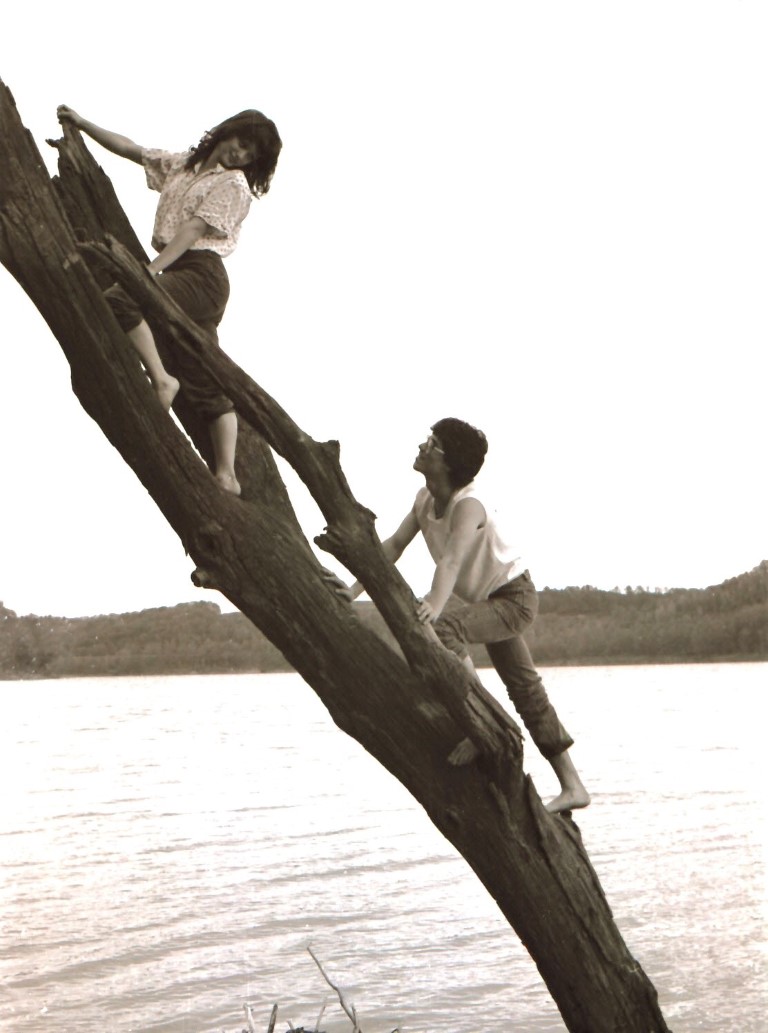
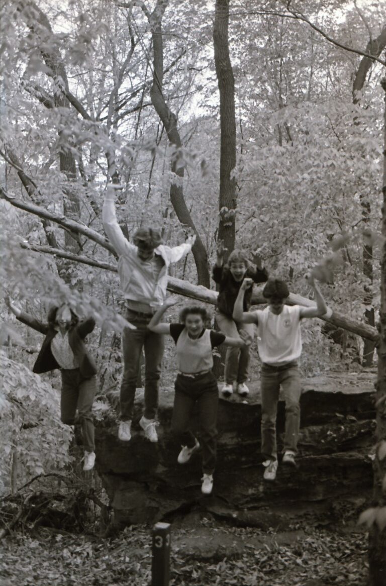
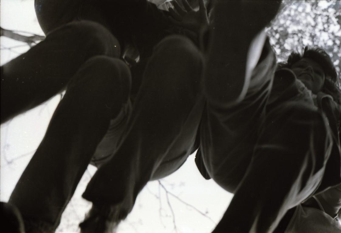
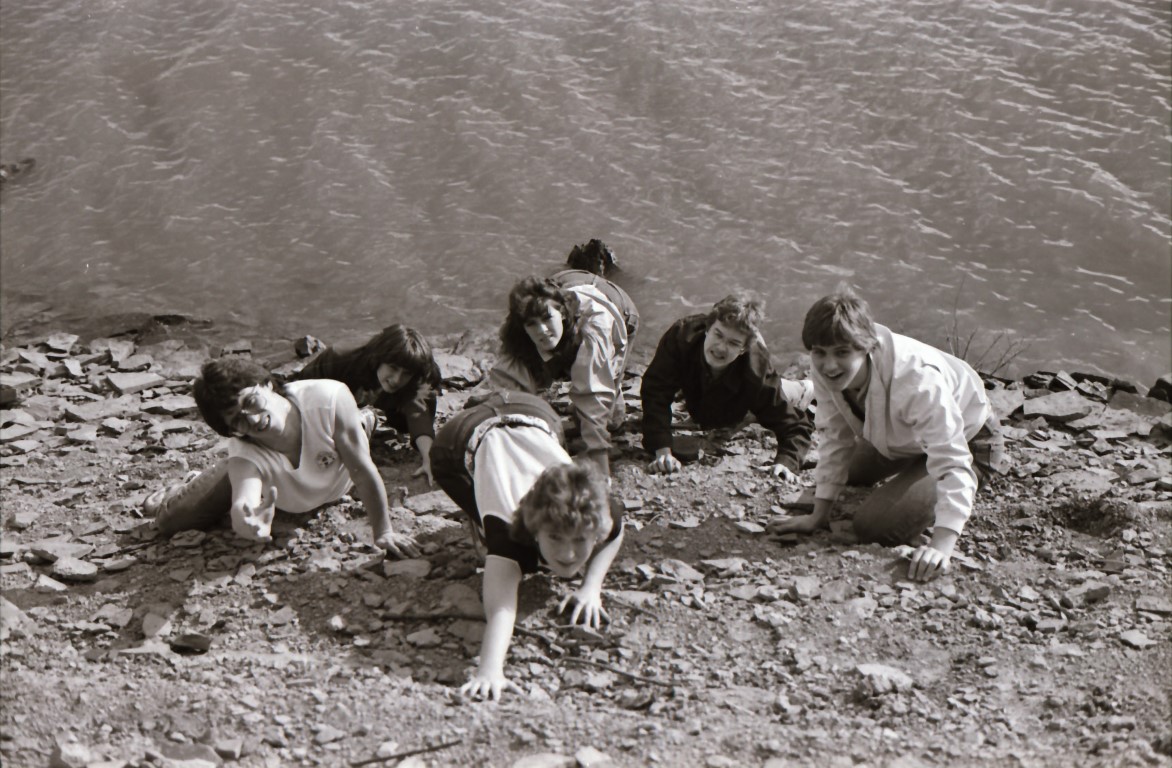
In 1803, Moses Dillon purchased the land bordering the Licking River where the park is located. This industrious early American built and operated a local iron foundry, then created the village of Dillon Falls. Moses dammed the Licking River to provide water power for the community, and is probably most noted for his contributions toward the design and construction of the world-famous “Y” bridge in Zanesville. In 1961, construction on Dillon Reservoir was completed for flood control by the U.S. Army Corps of Engineers . Dillon State Park was dedicated a few years later in August 1968. This backtrack (or shuttle) hike follows the Licking Bend Trail through the southern part of Dillon State Park. It occasionally follows the shore with great views of Dillon Lake.
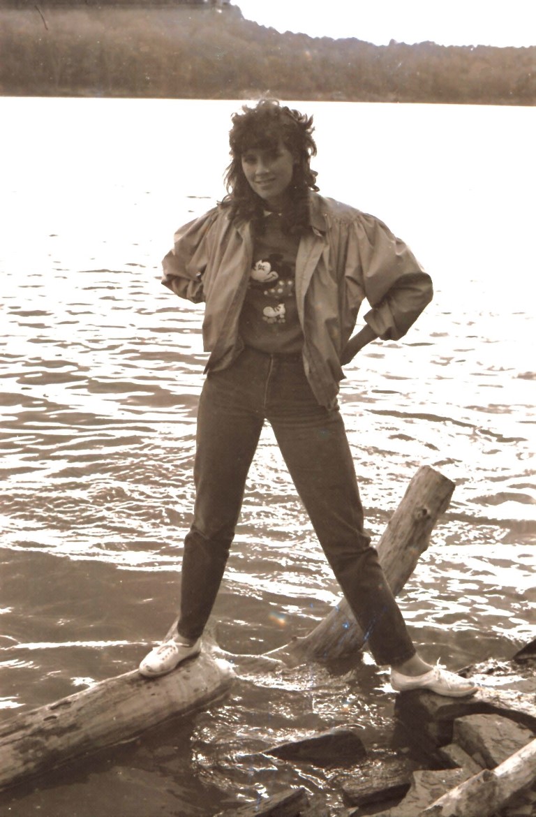
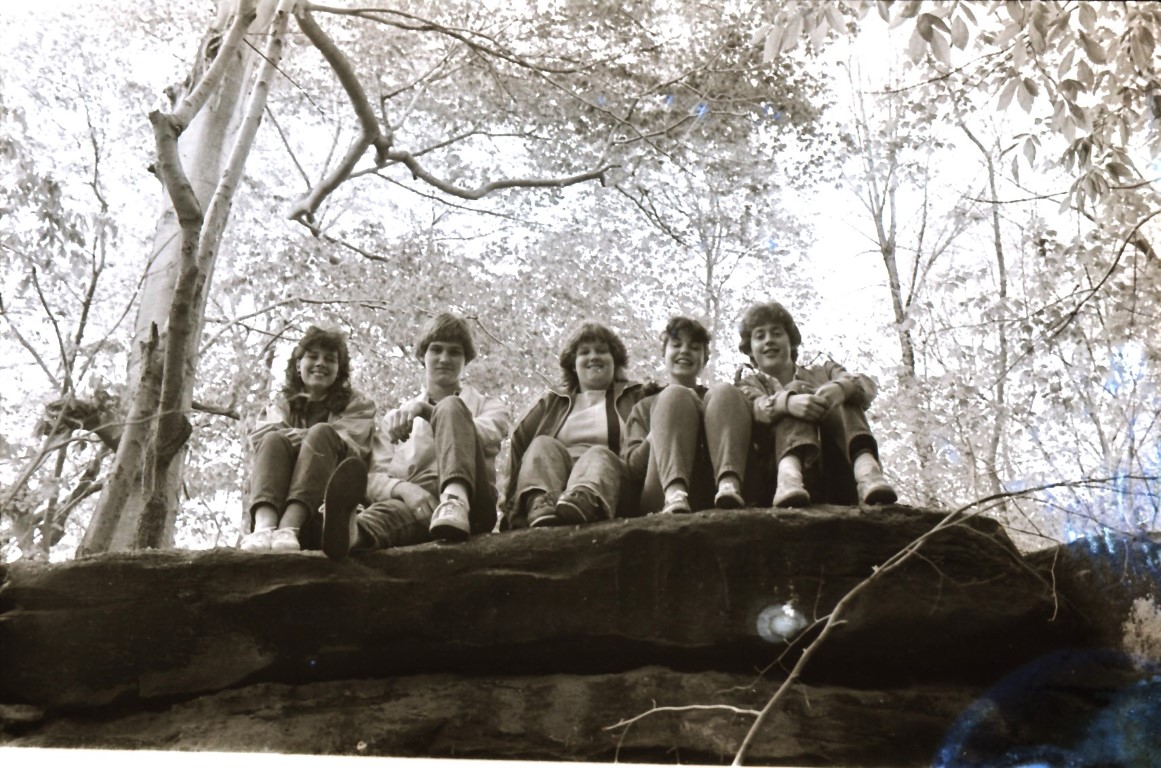
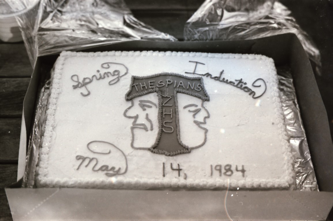
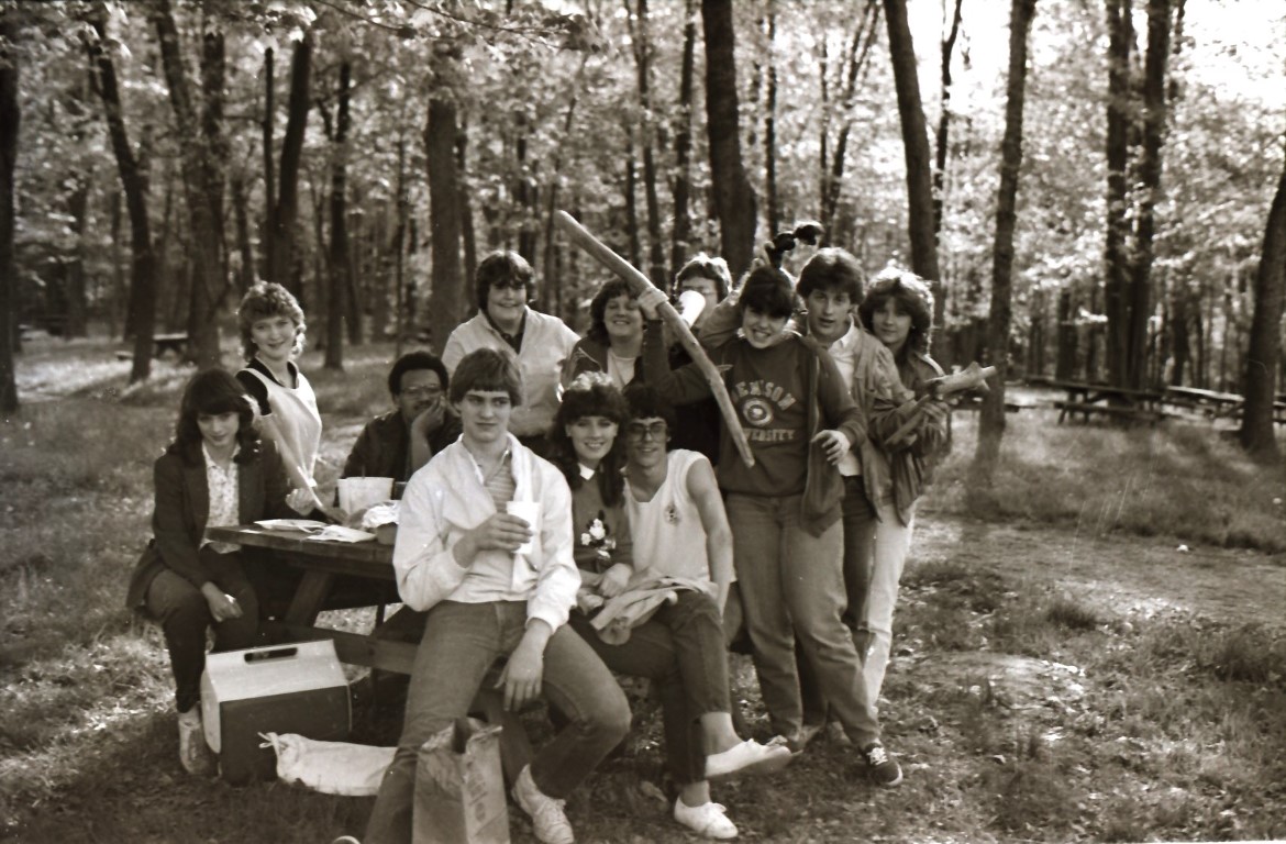
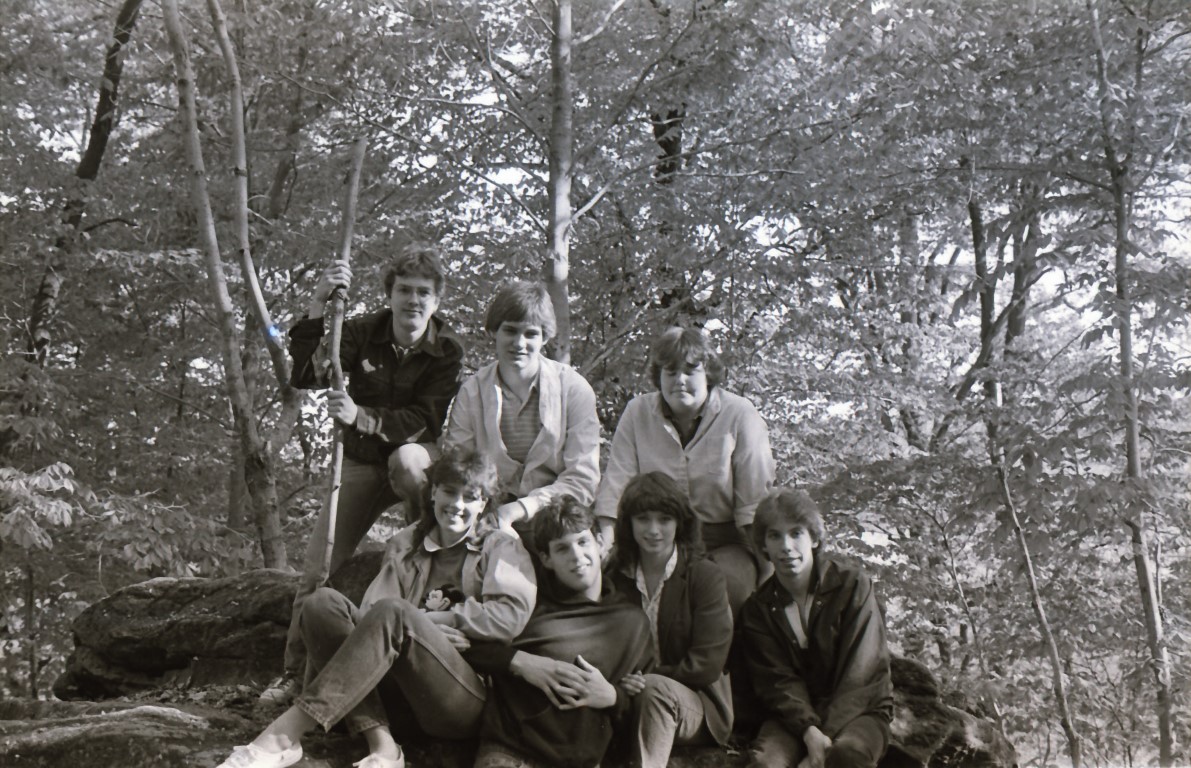
- click for a trip report from this hike in Dillon State Park: May 14, 1984 (password required)
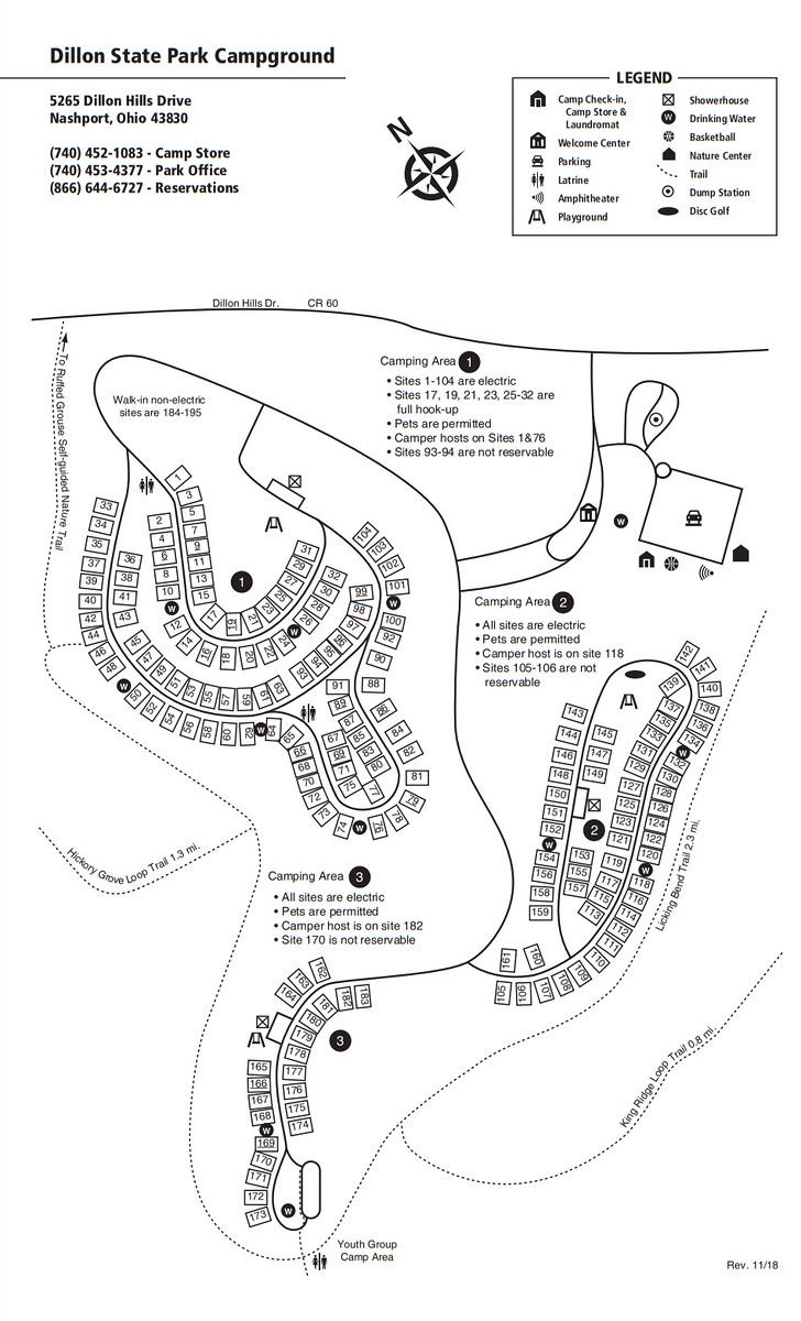
- click for a campground map of the drive-in sites at Dillon Lake
- click for a park map of Dillon State Park
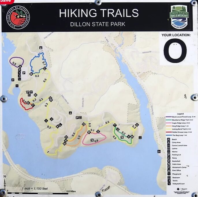
- click for another hike in the area on the Ruffed Grouse Nature Trail
- click for a hike on the Blackberry Ridge Trail at Dillon State Park
- click for a camping trip at Dillon Lake in October 1984
- click for the guidebook Hiking Ohio which has more hikes in this area
- click for more hiking and backpacking trips in the State of Ohio