Dillon Lake (via Blackberry Ridge)
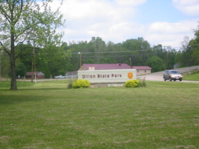
Dillon State Park
5265 Dillon Hills Drive
Nashport, OH 43830-9568
Park Office (740) 453-4377
Camp Office (740) 452-1083

Dillon State Park is located in the rolling hills of east-central Ohio near the city of Zanesville and is known for its combination of scenic woodlands, lake views, and fascinating geological history. The landscape surrounding the park was shaped by the erosion of the ancient Black Hand Sandstone formation, a durable rock layer deposited hundreds of millions of years ago when this region lay beneath a shallow inland sea. Sediments washed westward from long-vanished mountain ranges accumulated in vast deltas, eventually hardening into sandstone that now forms cliffs, rock outcrops, and rugged ridges throughout the area. Over time, streams and weathering carved the bedrock into the rolling terrain seen today, creating a diverse environment that supports mature hardwood forests of oak, maple, hickory, and beech. The rich soils and varied topography provide habitat for numerous species of wildlife, making the park a popular destination for hikers, birdwatchers, anglers, and nature enthusiasts seeking a glimpse of Ohio’s natural heritage.
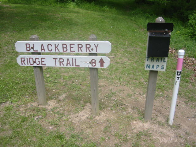
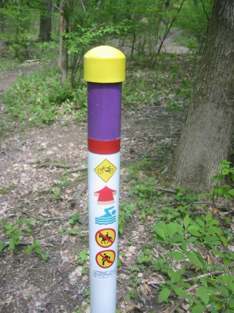
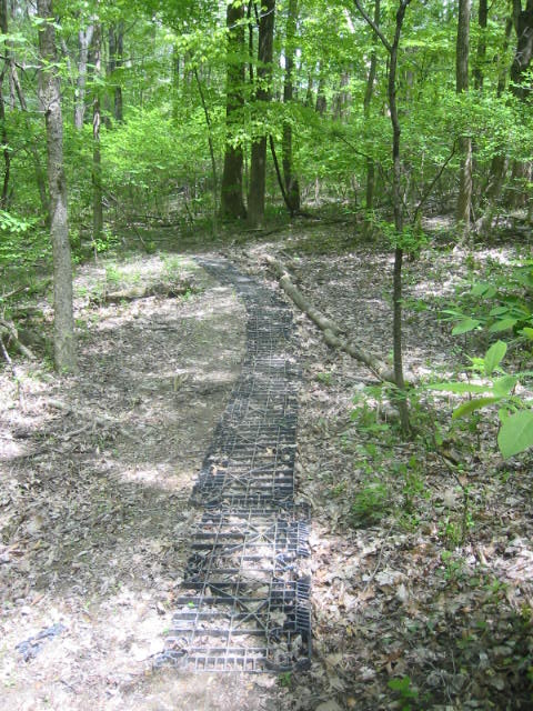
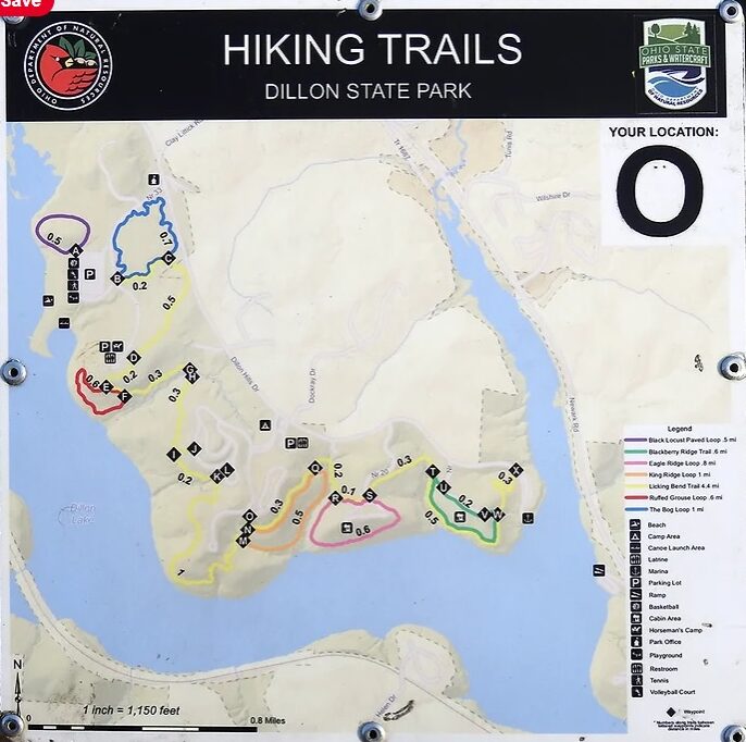
The park is also closely tied to the history of one of the region’s earliest settlers, Moses Dillon, who purchased land along the Licking River in 1803. Dillon established an iron foundry, developed the small community of Dillon Falls, and constructed a dam on the river to provide water power for local industry. He is perhaps best remembered for helping design and promote the construction of Zanesville’s famous Y-Bridge, one of the few bridges in the world that allows travelers to cross and choose one of three directions without leaving the structure. More than a century later, the U.S. Army Corps of Engineers completed Dillon Reservoir in 1961 as part of a regional flood-control project, and Dillon State Park was officially dedicated in 1968. This easy one-mile loop hike begins near the cabins in Section A of the park and follows a pink-blazed trail in a clockwise direction along a wooded ridge overlooking Dillon Lake. During the winter months, when leaves have fallen from the trees, hikers are treated to expansive views across the reservoir and surrounding hills. The trail then descends gently through the forest and returns to the starting point, occasionally passing near sections of the park’s mountain biking trail system. Although short in length, the hike offers an enjoyable blend of history, geology, and seasonal scenery that showcases many of the features that make Dillon State Park a popular outdoor destination.
- click for a trip report from this walk along the Blackberry Ridge Trail: May 6, 2006
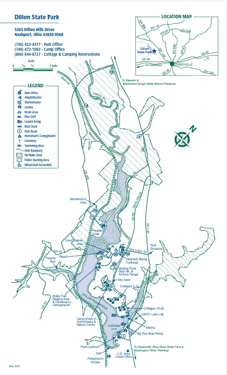
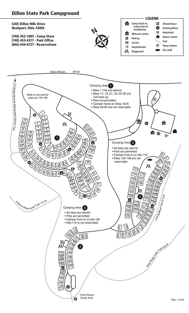
- click for a park or campground map of Dillon State Park
- click for a topographical and profile map of the Blackberry Ridge Trail (password required)
- click for another hike in the area on the Ruffed Grouse Nature Trail
- click for a hike on the Licking Bend Trail at Dillon State Park
- click for a camping trip at Dillon Lake in October 1984
- click for the guidebook Hiking Ohio which has more hikes in this area
- click for more hiking and backpacking trips in the State of Ohio