Schoolhouse Falls (via Cold Mountain Gap)
Nantahala National Forest
Highlands Ranger District
2010 Flat Mountain Rd,
Highlands, N.C. 28741
(828) 526-3765

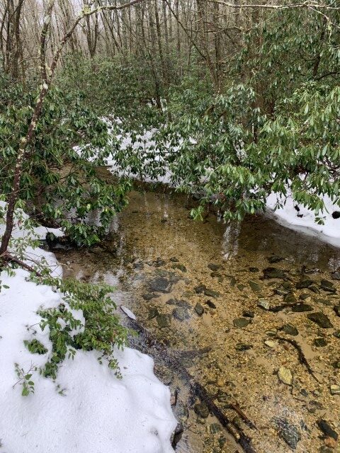
The National Forest Service acquired Panthertown Valley in 1989 from Duke Power in a deal coordinated by the Nature Conservancy. Surprisingly, the area is still relatively wild with no blazes on the trails and only a few primitive campsites. However there are an amazing number of waterfalls that are packed into a relatively small area and they many have pools at their base which make for a great place to swim or fish. Just make sure you take a map and compass on your hike. There are many intersecting trails in the area and route finding can be difficult.
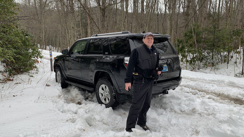
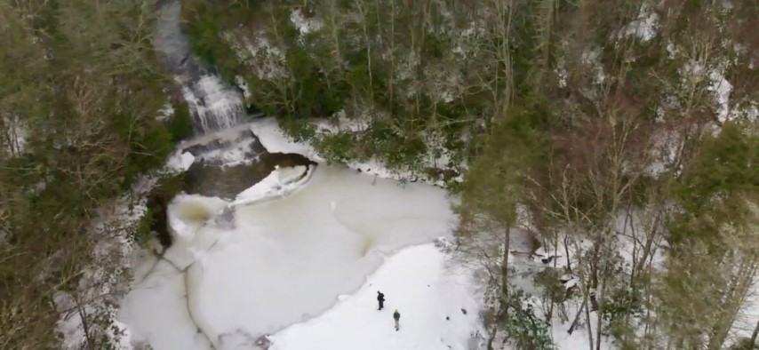
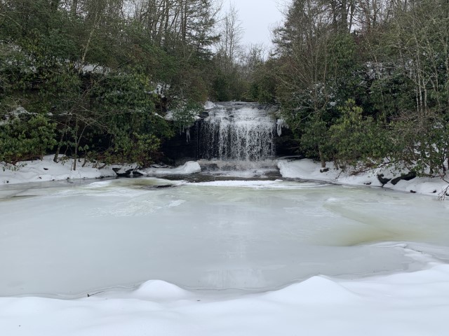
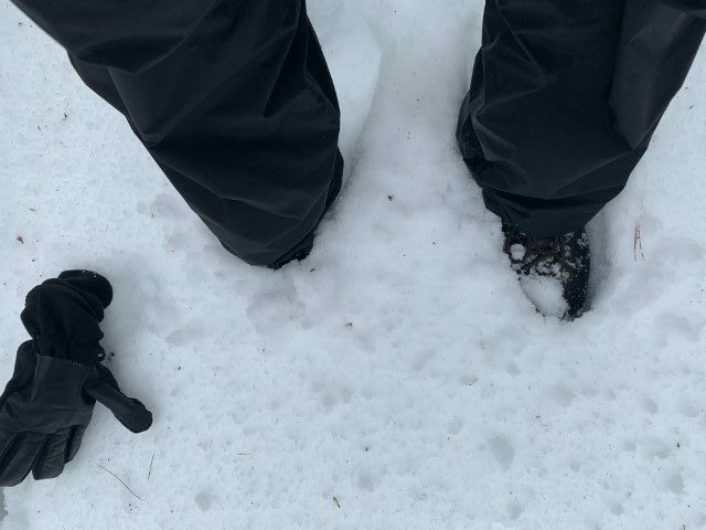
This backtrack hike takes you to Schoolhouse Falls about 1.3 miles from the trailhead. The two-story waterfall is formed by Greenland Creek, the headwaters of the Tuckasegee River. Schoolhouse Falls – true to it’s name – actually falls and shoots over a rock outcrop in Greenland Creek. This is unique since most waterfalls slide or cascade down a rock face. For a close-up view, a narrow trail leads behind the waterfall where you can stand behind the feature and view the beach area to the north. These falls are frequented by numerous day hikers from Lake Towaway which borders Panthertown to the Southeast. So don’t expect a lot of solitude here, but the falls are a great destination – particularly for those hikers looking for a short excursion for the family. This hike is particularly “cool” in 1 1/2 feet of untracked snow in the middle of the winter!
- click for video of Schoolhouse Falls from the air, for a 360 view of the falls, and drone video from the porch at Lake Toxaway
- click for more photos from this trip to Panthertown Valley: January 20, 2022
- click for a trip report from this day hike to Schoolhouse Falls: January 20, 2022 (password required)
- click to purchase the Nantahala and Cullasaja Gorges Trails Illustrated Map for Panthertown
- click for a topo and campsite map of this hike to Panthertown Creek (password required)
- click for a profile map from the Cold Mountain trailhead to Panthertown Creek (password required)
- click for a trail map of the entire Panthertown Valley trail system (password required)
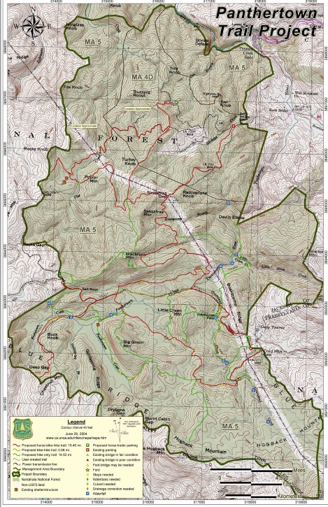
- click for a project map from the US Forest Service for Panthertown
- click to see a trail and profile map of this hike to Schoolhouse Falls via Cold Mountain Road (password required)
- click to view a topo and profile map of this waterfall from the Salt Rock trailhead
- click for winter hikes to Schoolhouse Falls in November 2011, February 2018, January 2022, and February 2023
- click for summer hikes to Schoolhouse Falls from Cold Mountain Gap in August 2010 and September 2011
- click for a news article from another hike to Schoolhouse Falls: November 2003 (password required)
- click for the guidebook North Carolina Hiking Trails for more details on this area
- click for other North Carolina hiking and backpacking books