Harper’s Creek
Pisgah National Forest
Wilson Creek Recreation Area
Route 1, Box 110A
Nebo, NC 28761
(704) 652-2144

The Wilson Creek Recreation Area lies within the Pisgah National Forest in the rugged foothills of the Blue Ridge Mountains in western North Carolina. Designated as part of the National Wild and Scenic Rivers System, Wilson Creek is widely regarded as one of the most pristine and ecologically significant river corridors in the state. The area is defined by its clear, fast-flowing waters, steep forested ridges, granite outcrops, and deeply carved valleys that reflect millions of years of geologic shaping. Wilson Creek itself tumbles over boulders and ledges as it descends from the high country, forming a series of waterfalls, rapids, and deep swimming holes that attract visitors during the warmer months. The surrounding forest is a rich mix of oak, poplar, hemlock, and pine, providing habitat for deer, black bear, wild turkey, and a wide variety of songbirds. The recreation area offers numerous trails that range from short, family-friendly walks to strenuous backcountry routes, with popular destinations including Harper Creek Falls Trail and Hunt-Fish Falls Trail, both of which showcase some of the region’s most photogenic waterfalls and rugged streamside scenery.
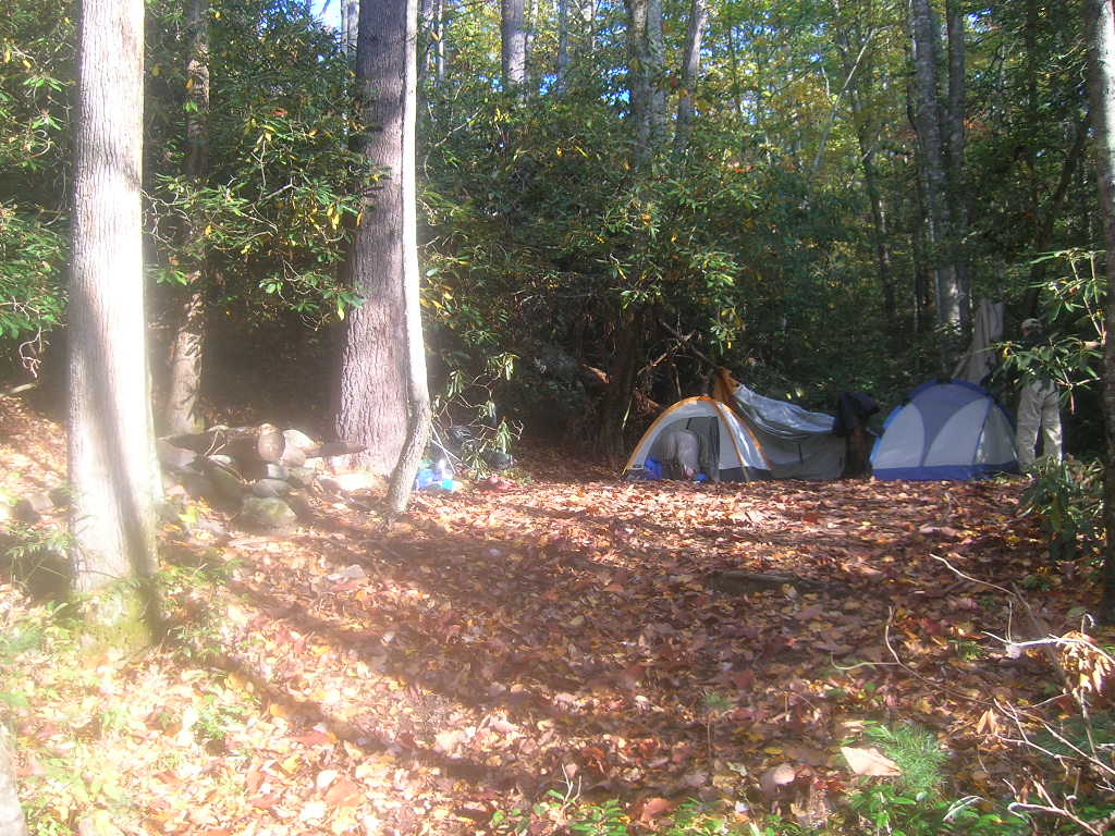
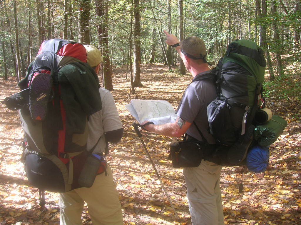
This short but engaging hike begins just off North Carolina Highway 1328, south of the Mortimer Recreation Area, and quickly enters a dense forest where the trail immediately begins to climb a wooded ridge. The ascent is steady but manageable, offering occasional breaks in the canopy that reveal glimpses of the surrounding mountain landscape. After reaching the ridge, the trail descends toward Harper Creek, where the sound of rushing water becomes increasingly prominent as hikers approach the valley floor. The route then climbs again along the opposite side of the creek, passing through lush forest before reaching a scenic waterfall tucked into the landscape. A short spur trail leads left toward the falls, where visitors can step closer to the cascading water and enjoy one of the hike’s highlights. Although this visit involved a backtrack return along the same route, an alternative option is to create a longer loop by connecting with the Raider’s Camp Trail, located just south of the Harper Creek Trail, which offers a different perspective of the forested ridges and stream valleys. Along Harper Creek itself, numerous natural swimming holes formed by smooth rock basins provide refreshing spots for a summer dip, while primitive campsites scattered along the water make this area a popular destination for overnight backpackers seeking solitude in the heart of the Pisgah backcountry.
- click for a trip report from this backpacking trip in the Pisgah National Forest: October 26, 2007 (password required)
- click for a Trails Illustrated map of the Pisgah National Forest
- click for an overview map of the Wilson Creek Recreation Area (password required)
- click for a topo map of our backpacking trip to Harper Creek
- click for a topo and profile map of this hike on the Harper Creek Trail (password required)
- click for a loop hike around Harper Creek in the Pisgah National Forest (password required)
- click for a USFS brochure of the Wilson Creek Wilderness Area (password required)
- click for hike in the nearby Linville Gorge Wilderness May 1993 and April 1993
- click for the guidebook North Carolina Hiking Trails which has details on this destination
- click for other North Carolina hiking and backpacking books